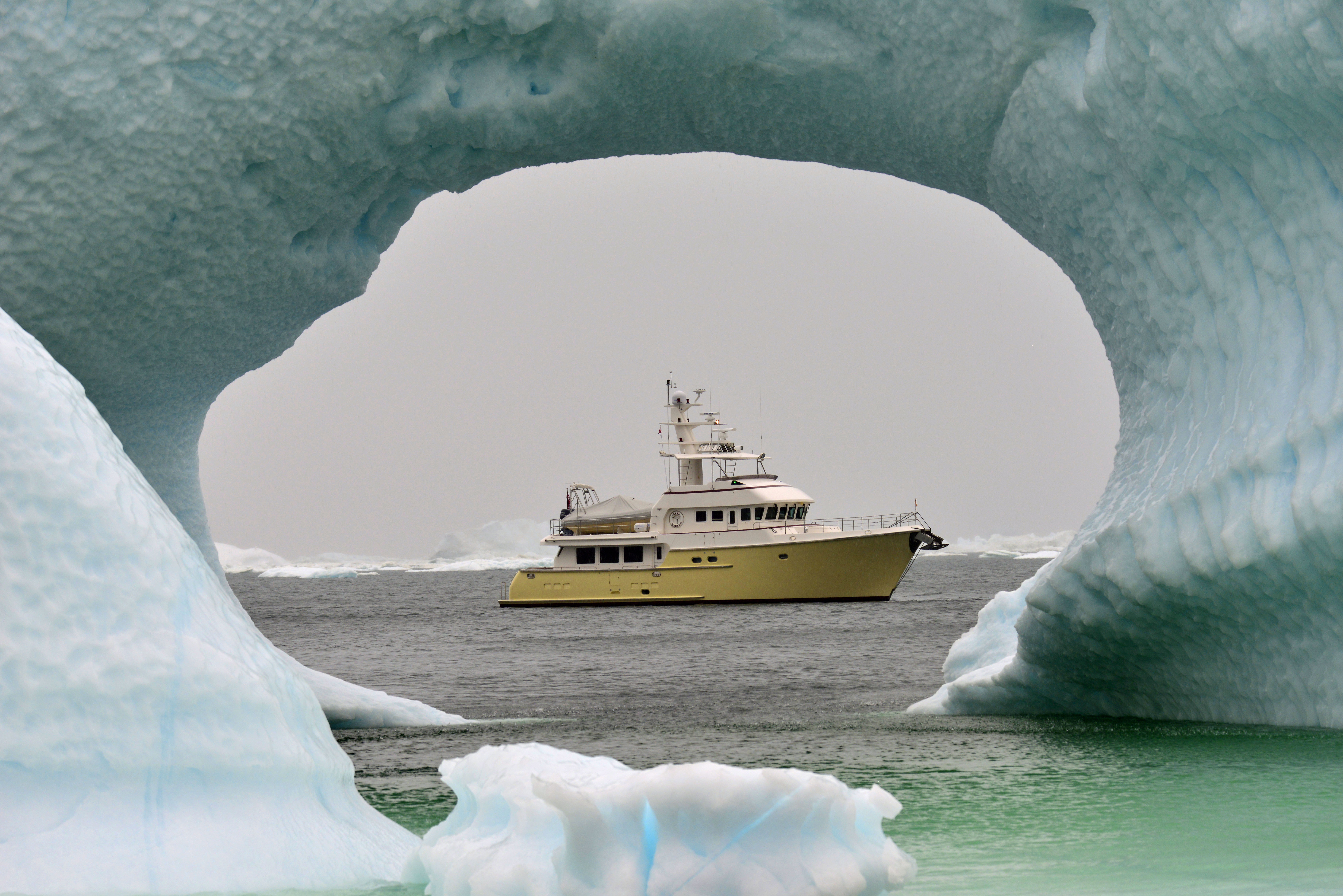
Hello fellow adventurers and virtual crew members!
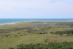
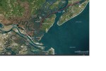
Eric here reporting on the Albemarle Sound Loop side trip. The sound is 50 miles, east to west. Kitty Hawk is on the east side of the sound on the Outer Banks while Edenton flanks the west side of the sound.
The Albemarle Sound marinas are sponsoring 48 hours of free dockage in each marina. Our crew plans on stopping in 4 of the 6 participating marinas.
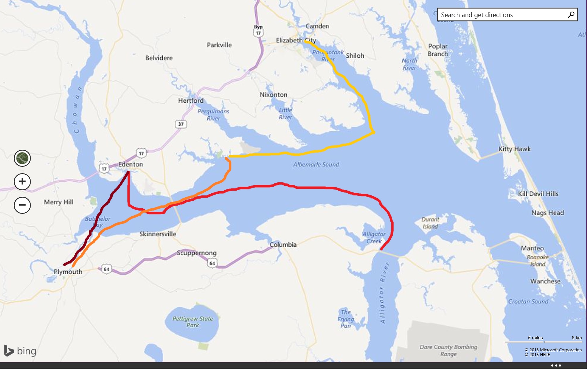
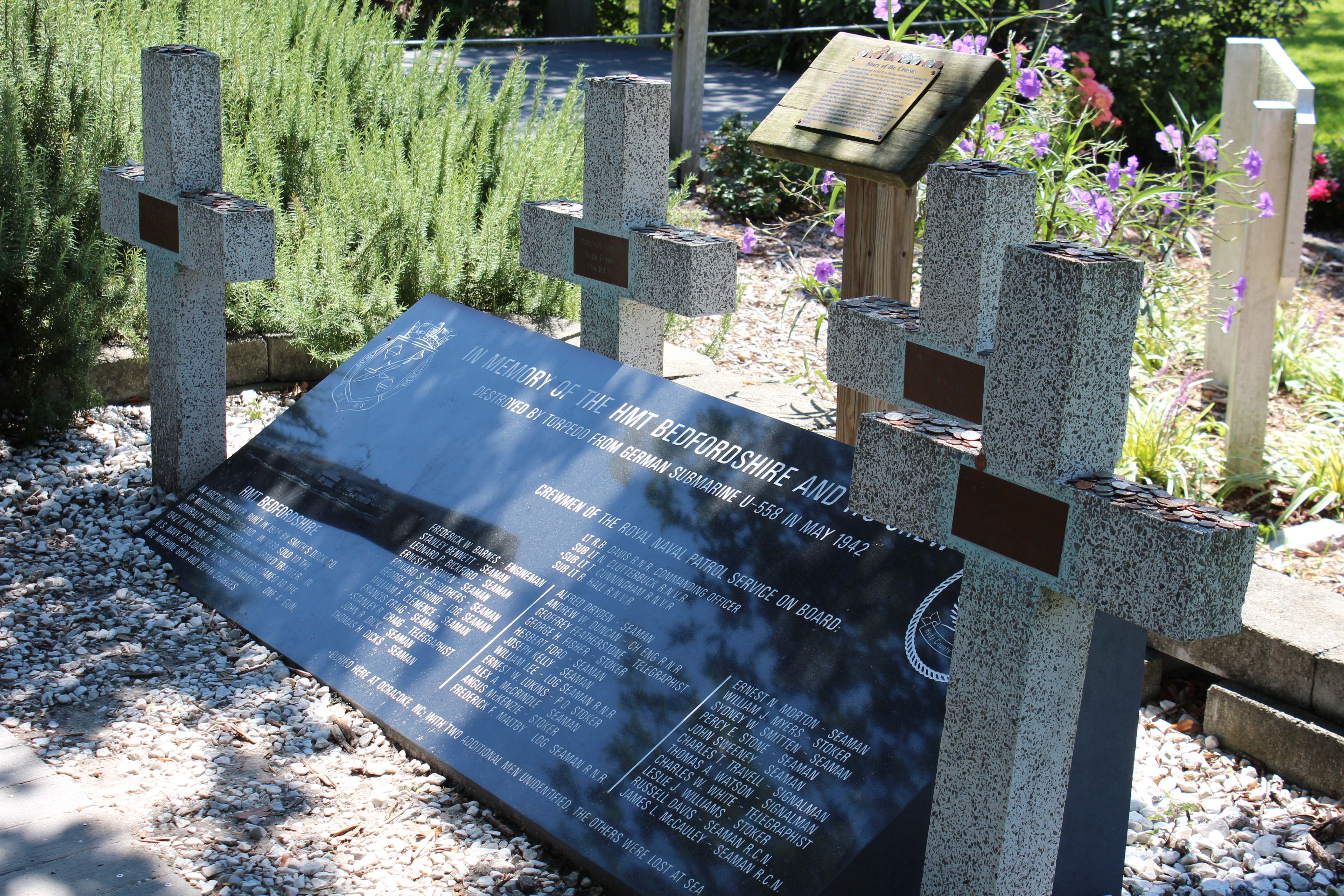
The float plan is to travel from Alligator River Marina to Edenton Harbor Marina, then to Plymouth Landing Marina, then to Albemarle Plantation Marina, and lastly the Elizabeth City Mariners’ Warf.
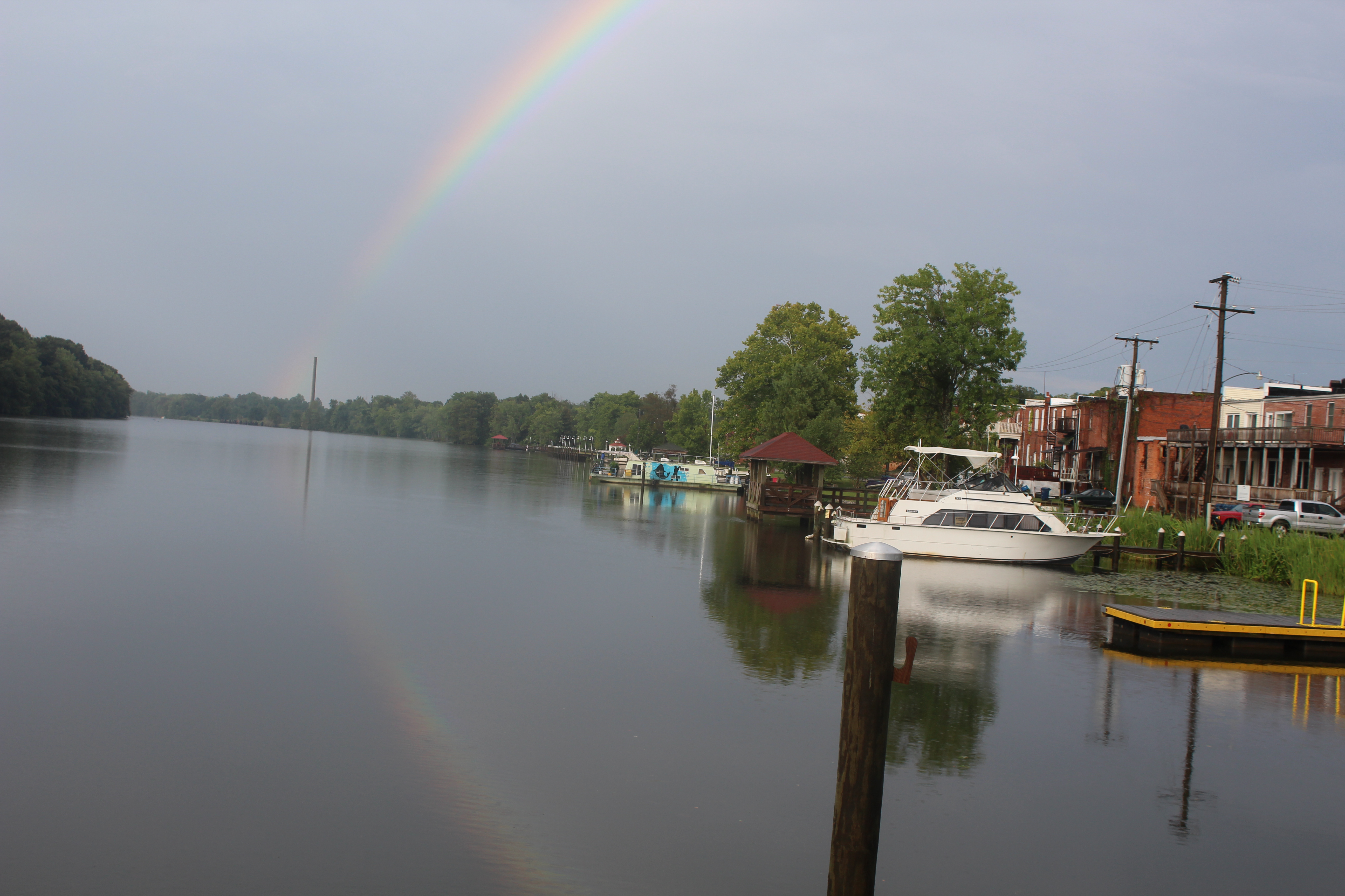
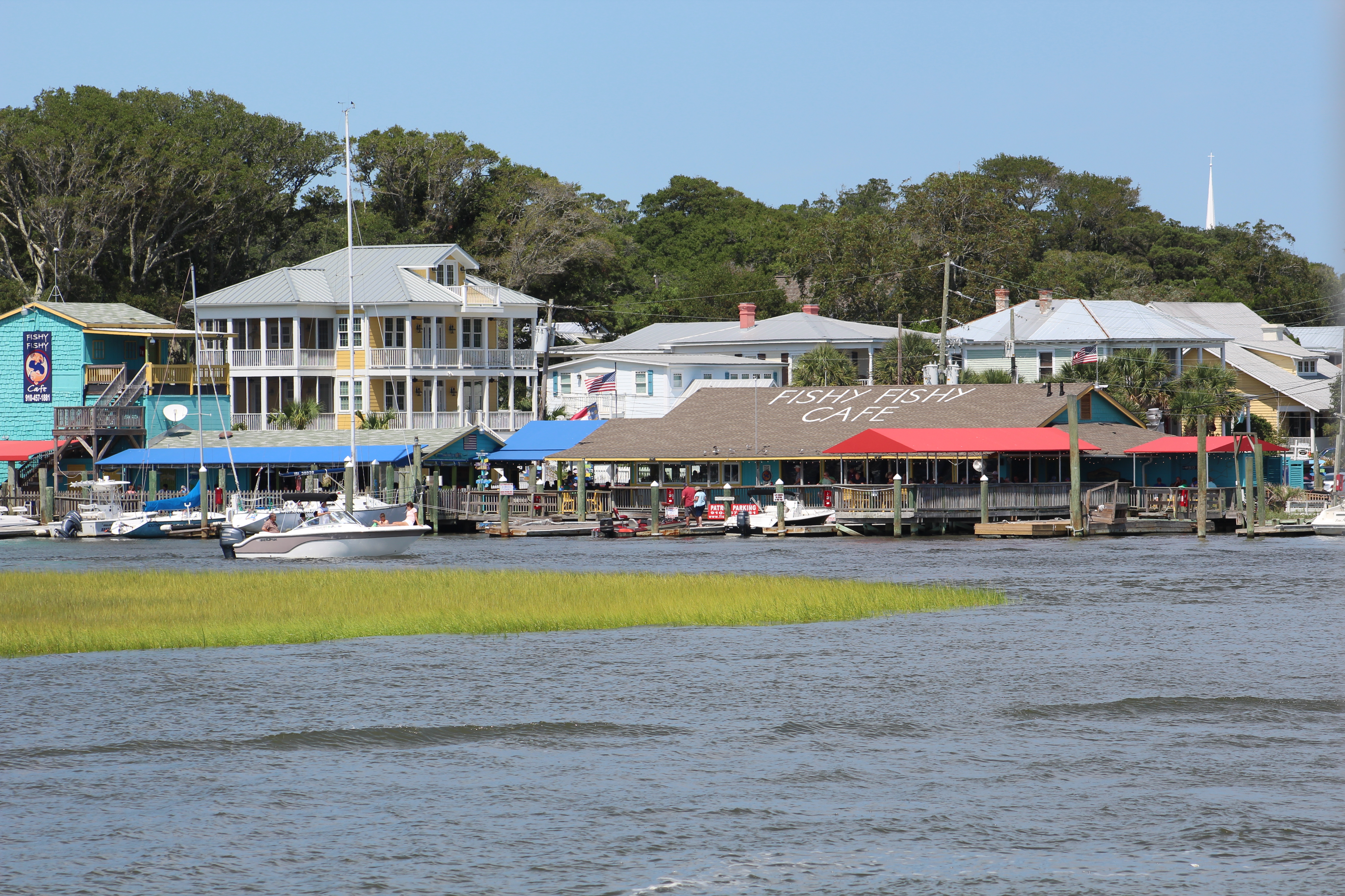
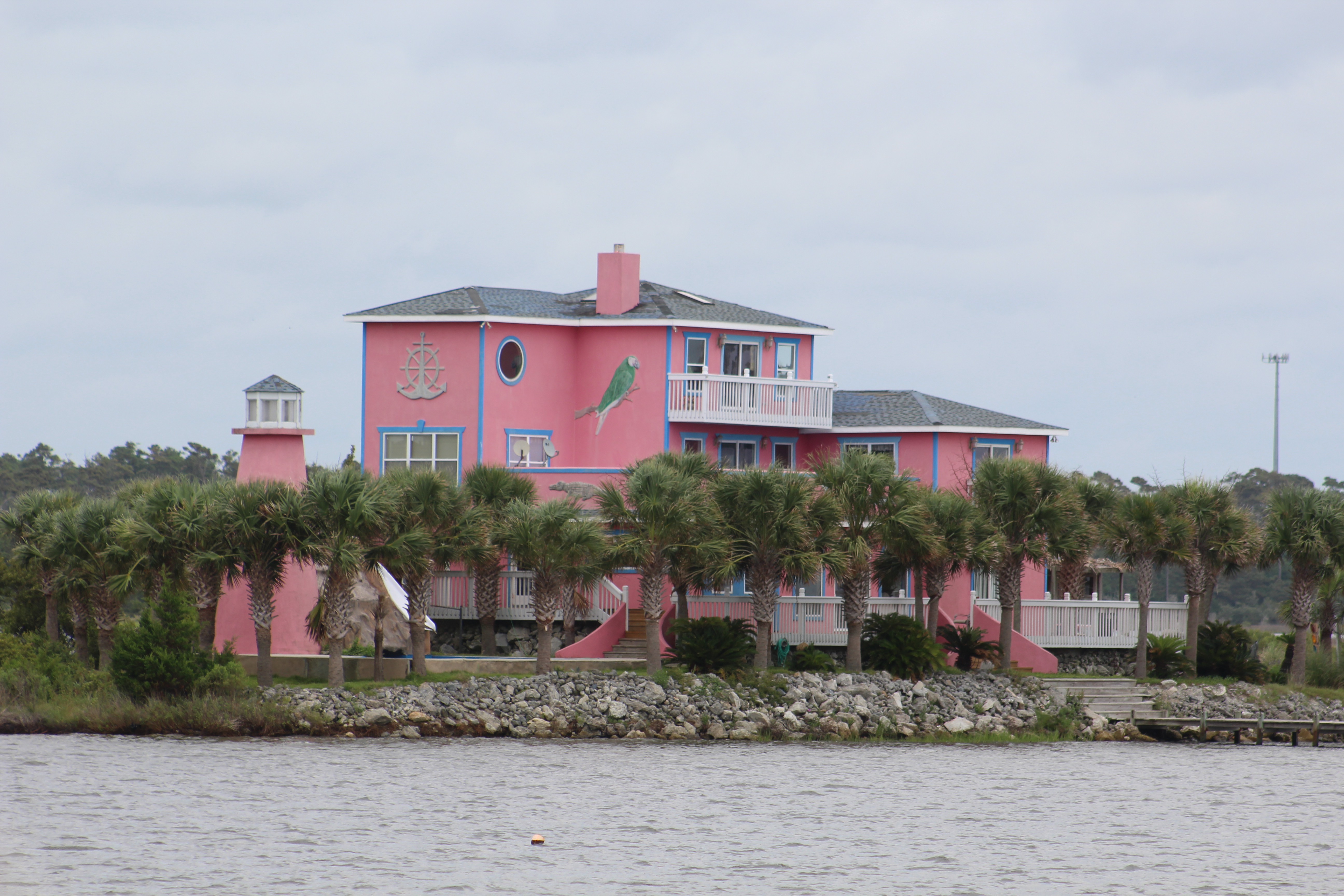
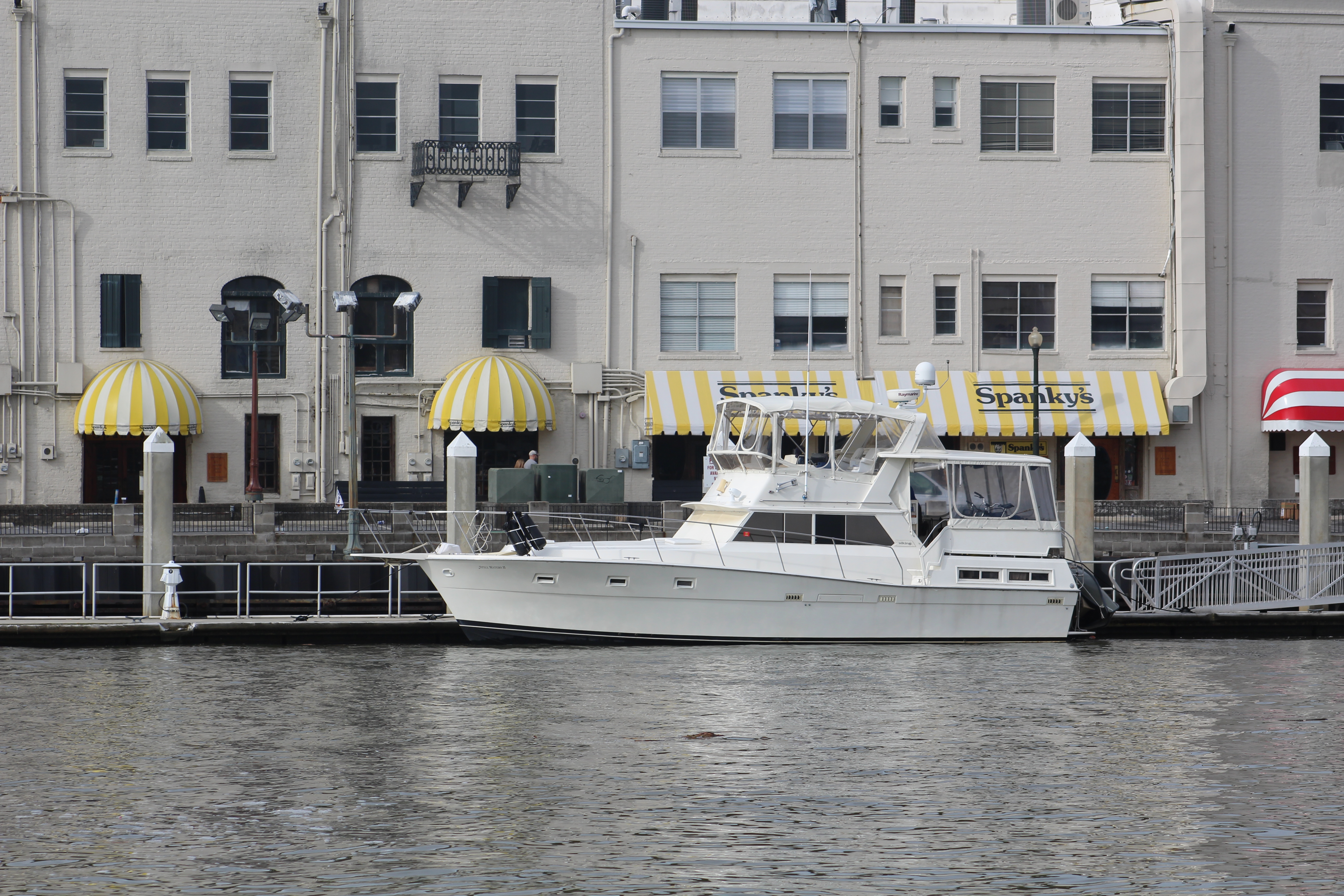
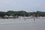
Edenton Harbor Marina
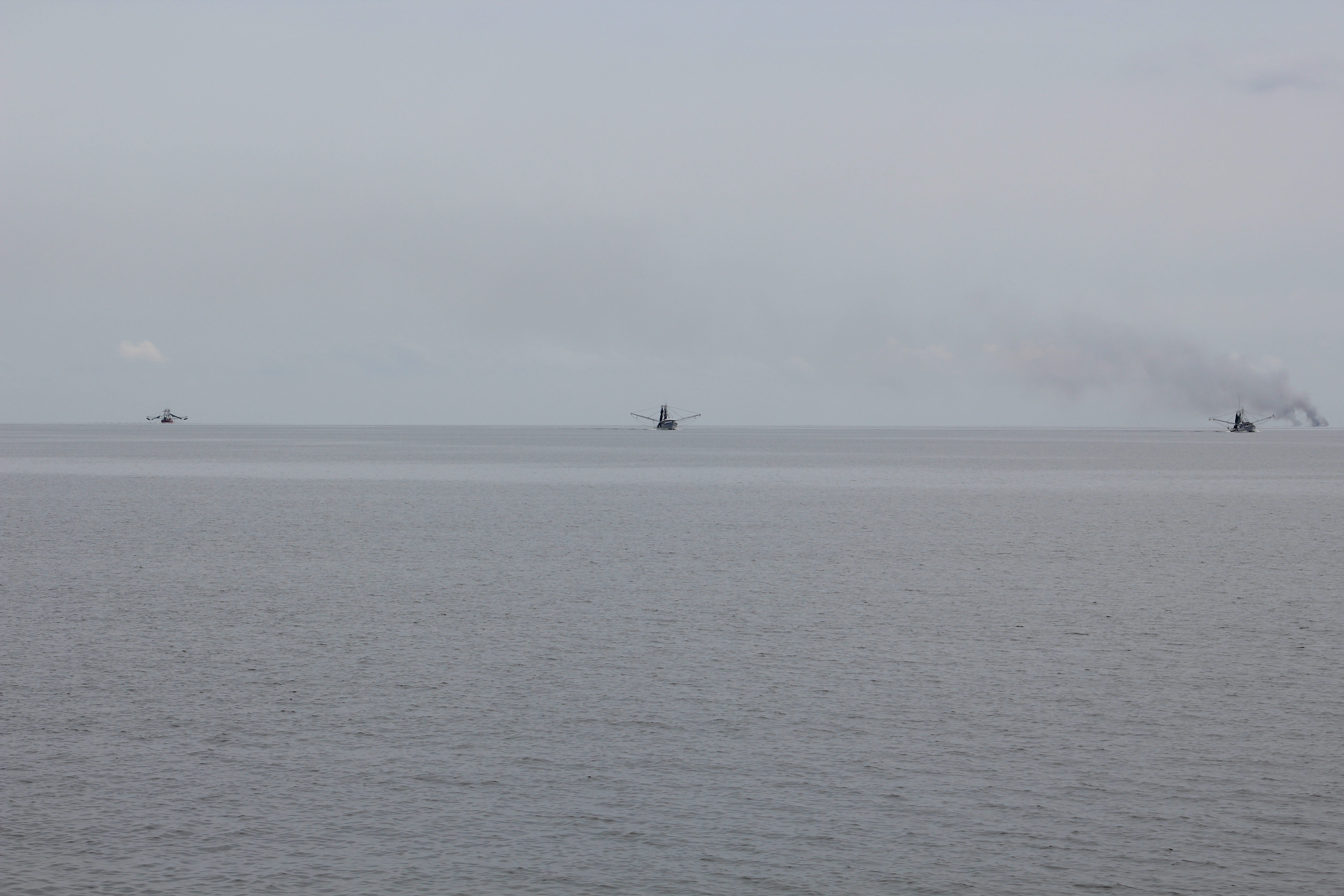
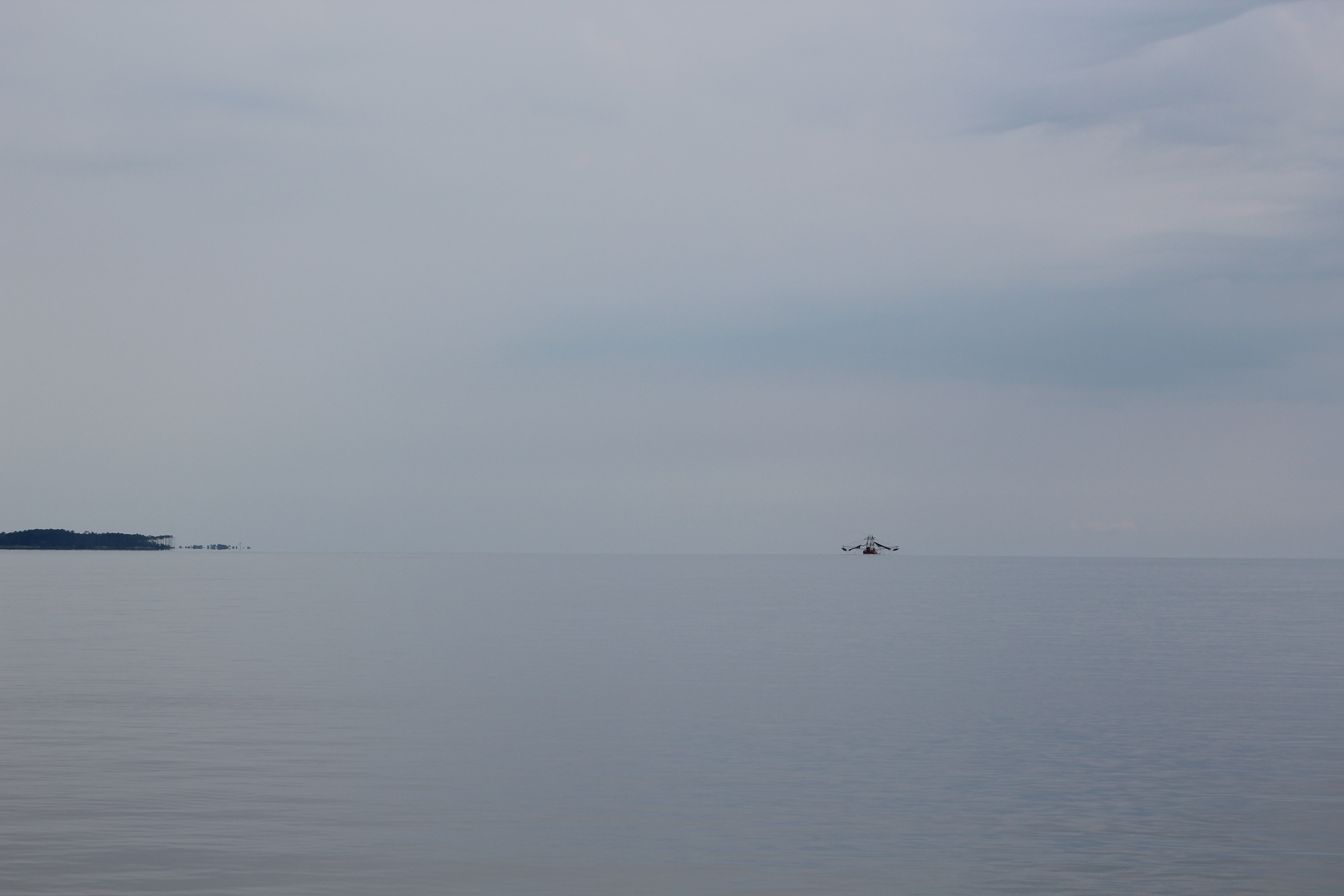
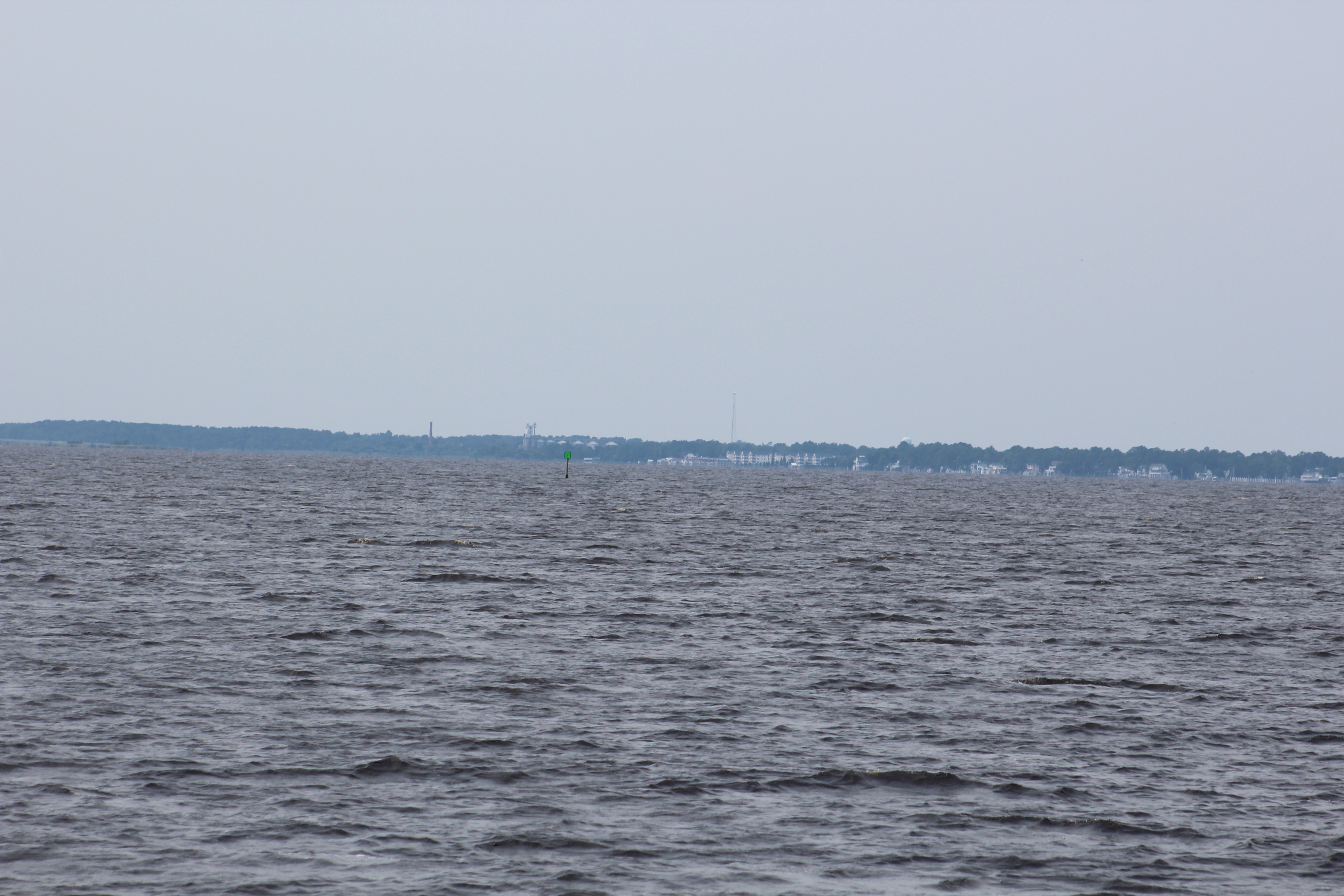
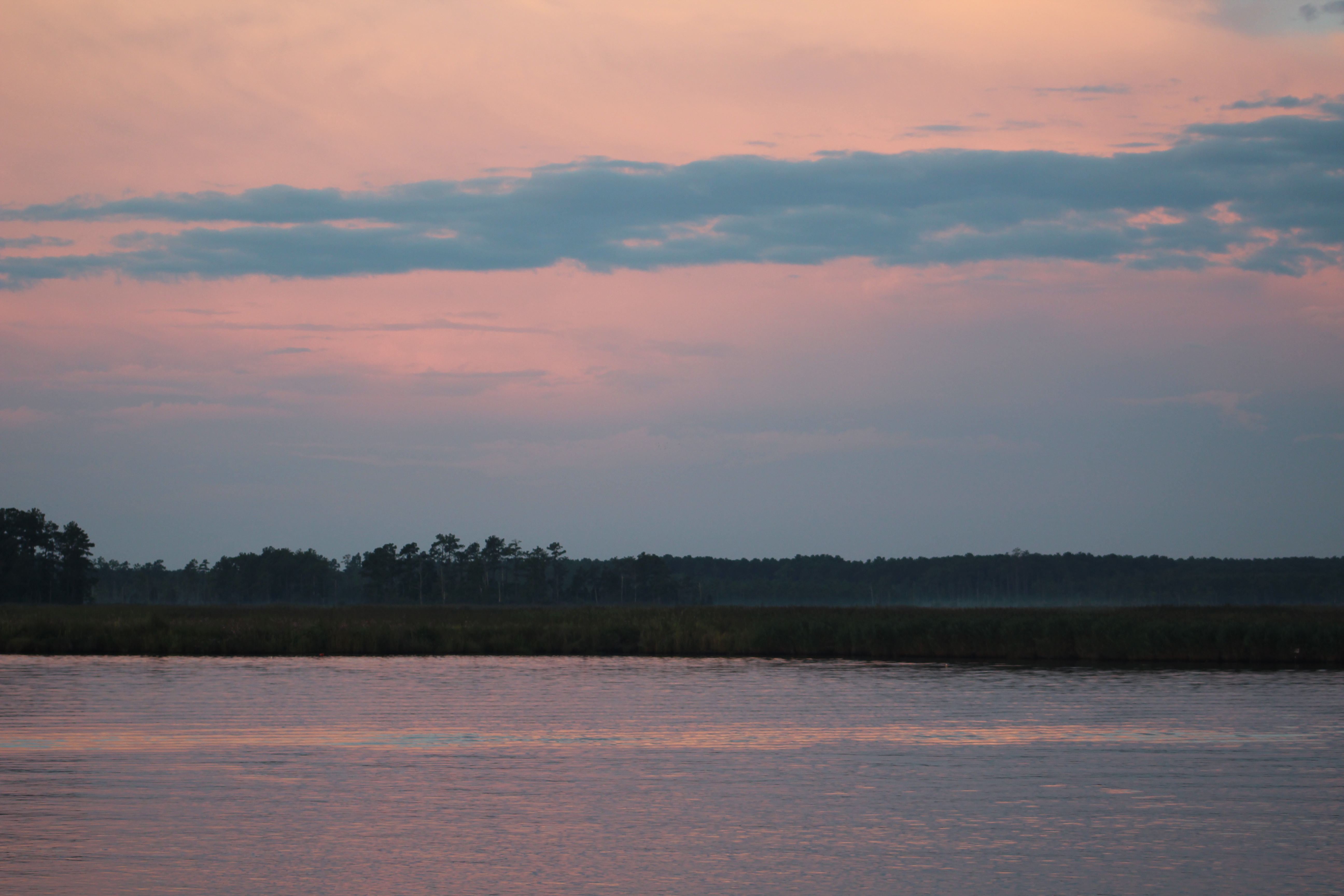
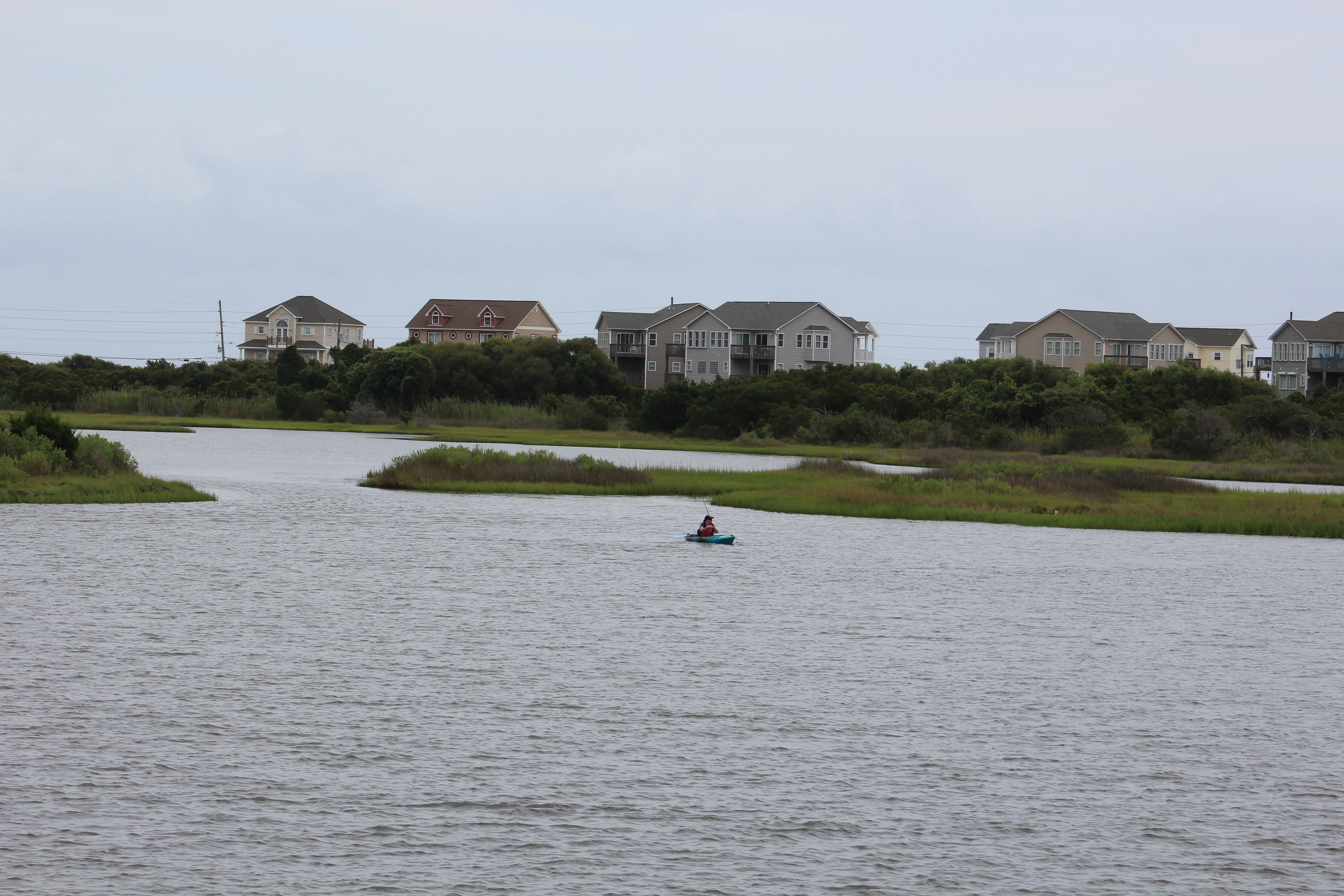
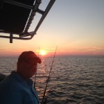
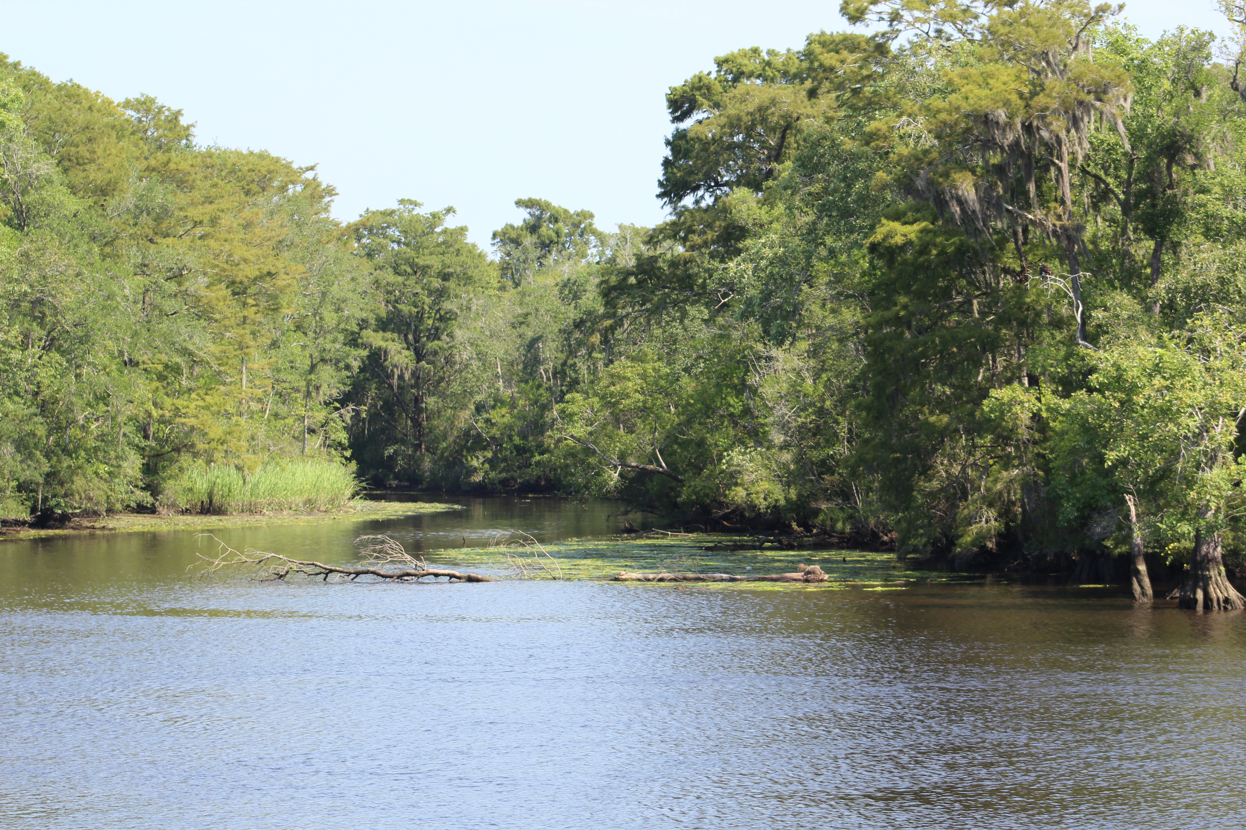
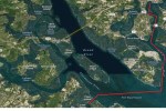
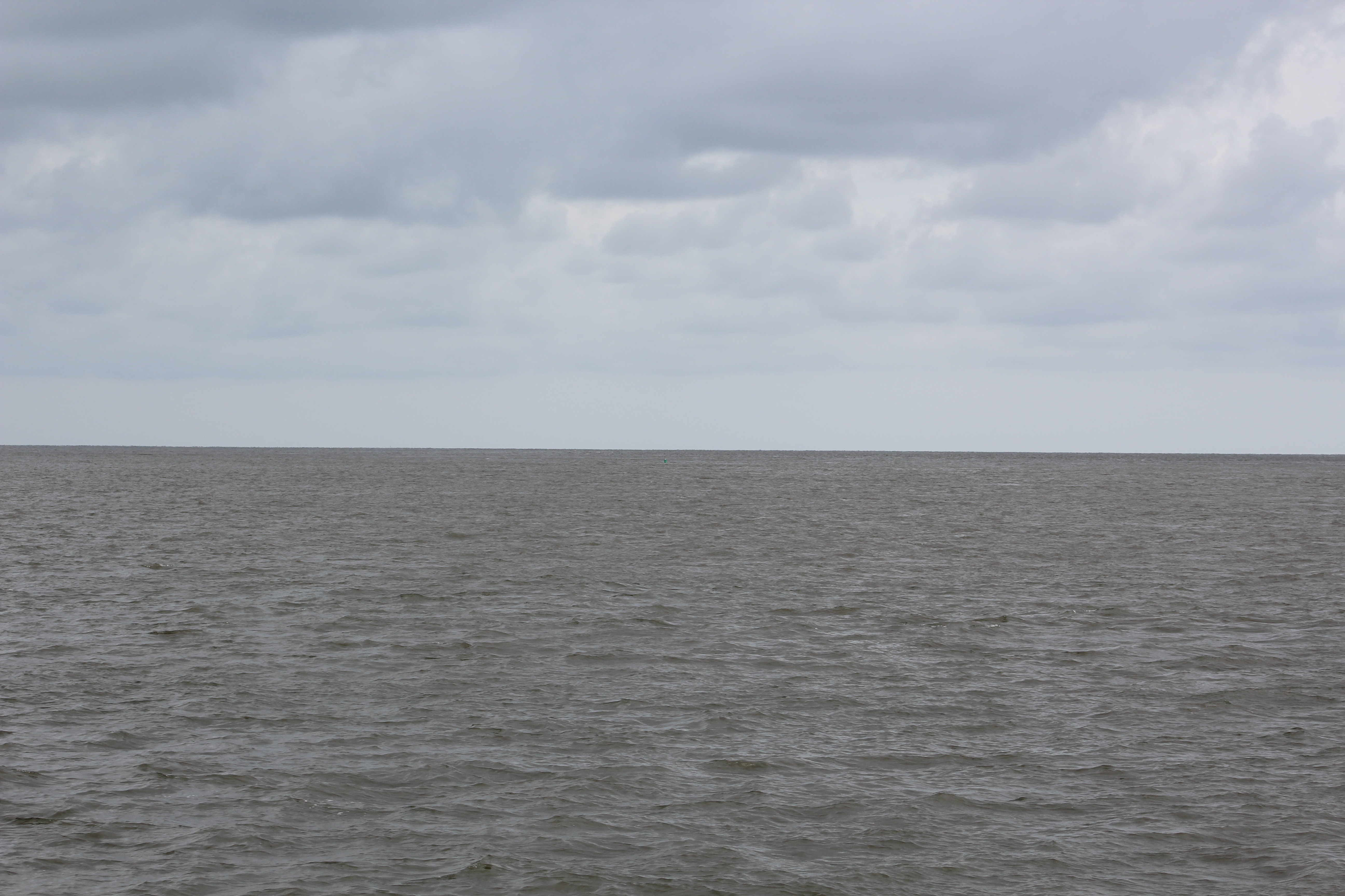
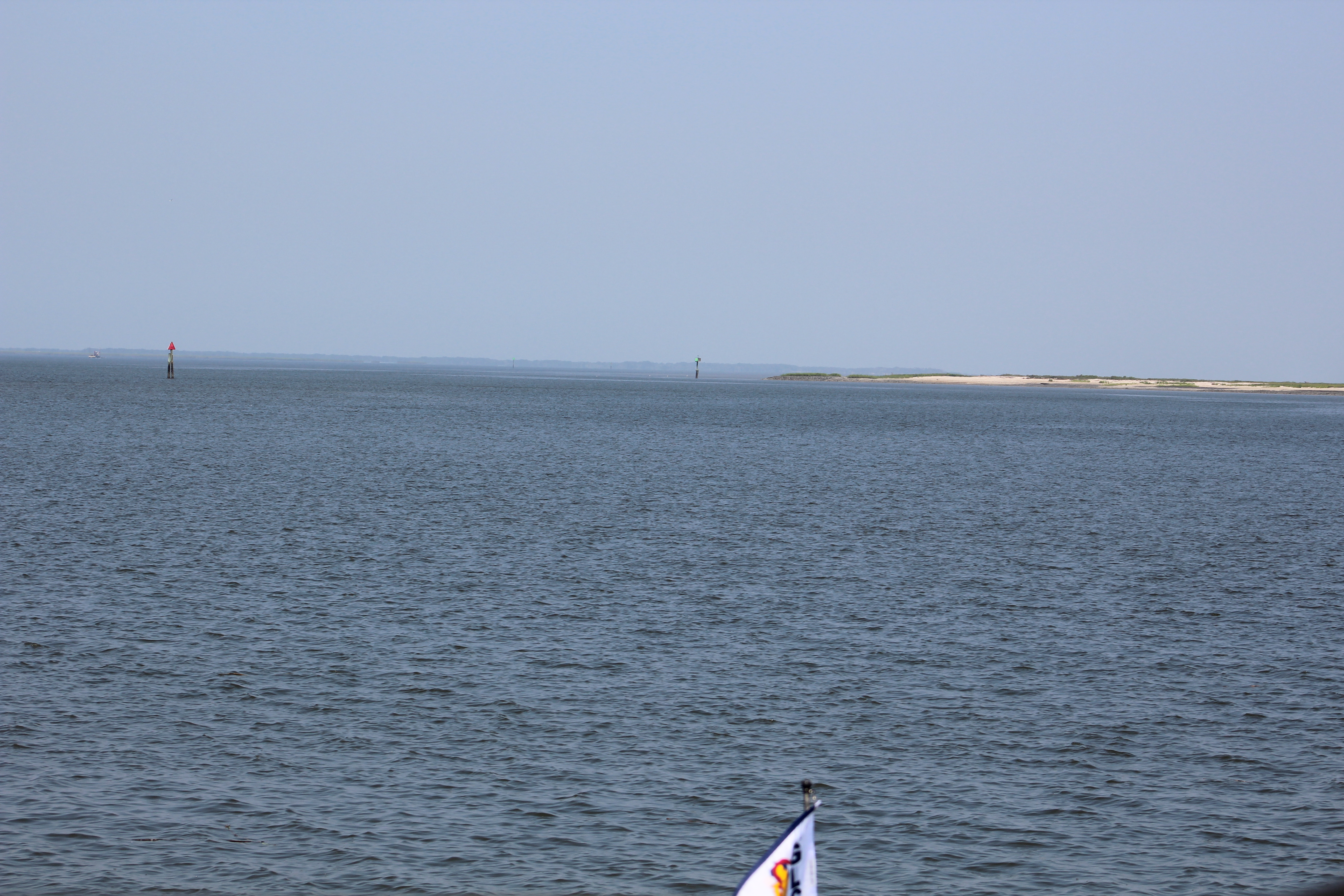
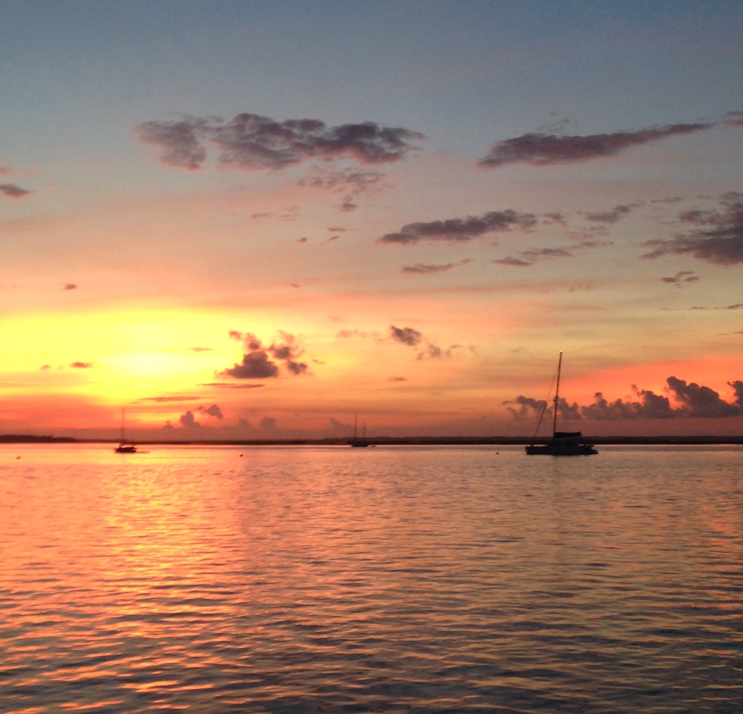
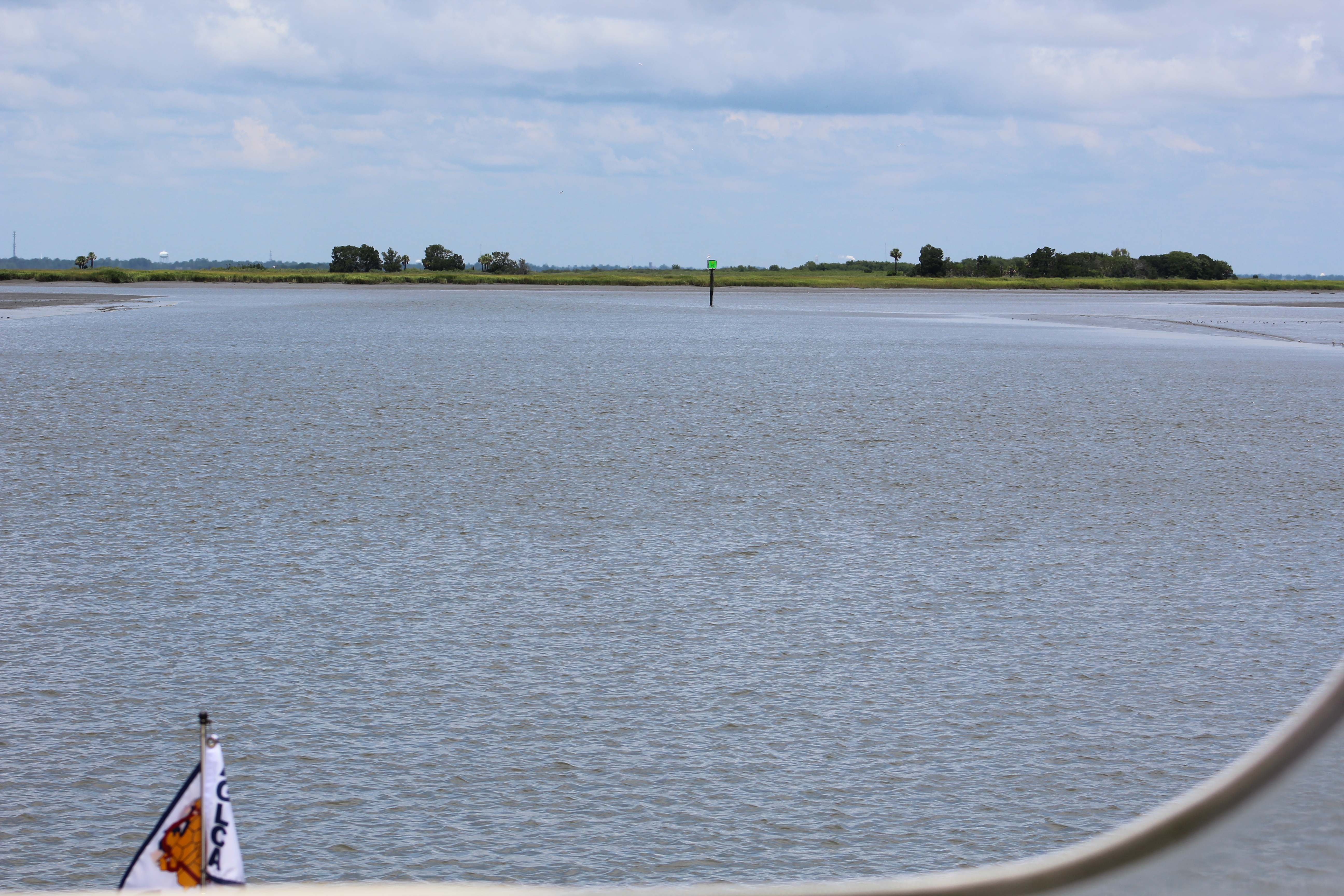
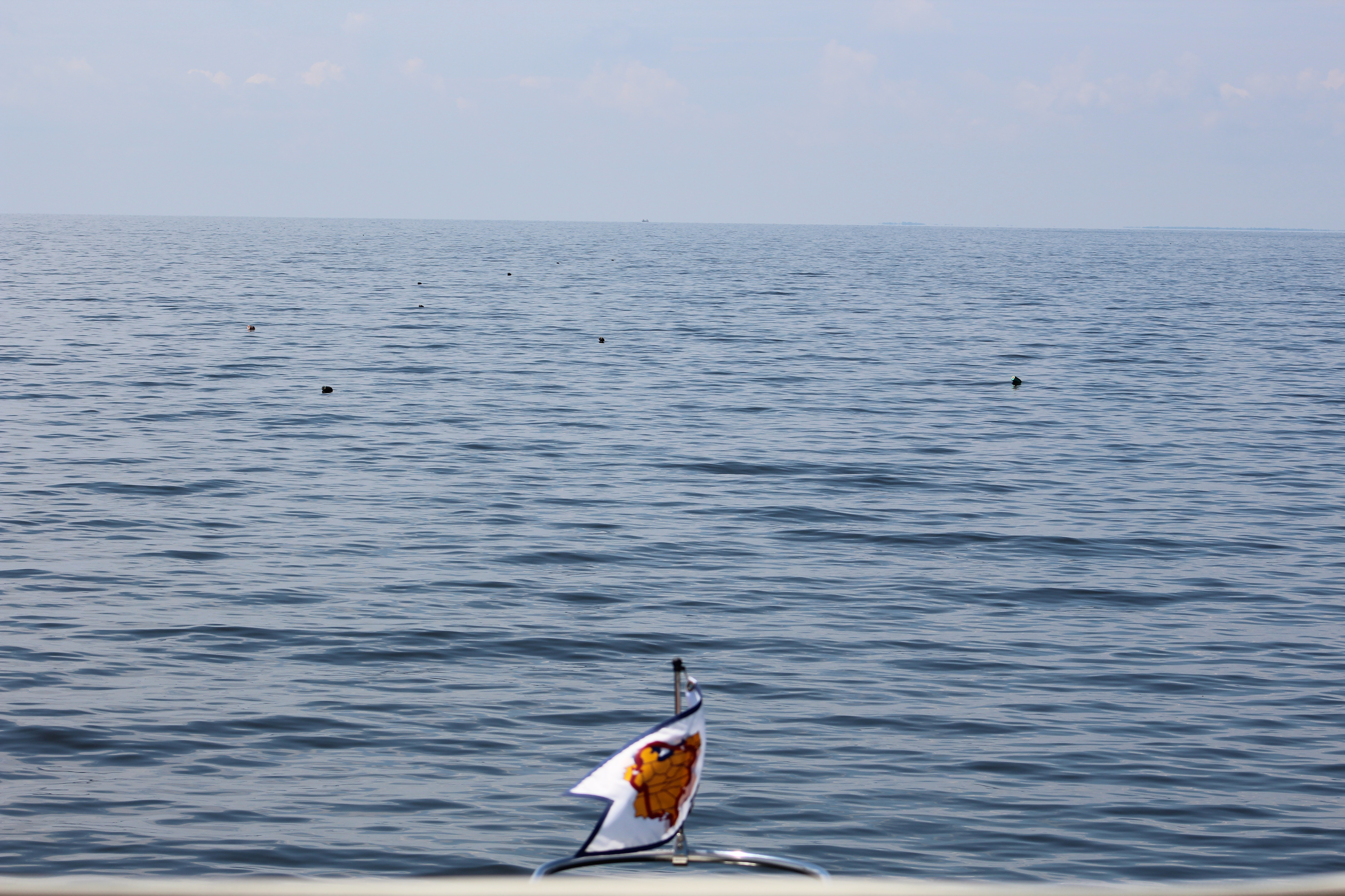
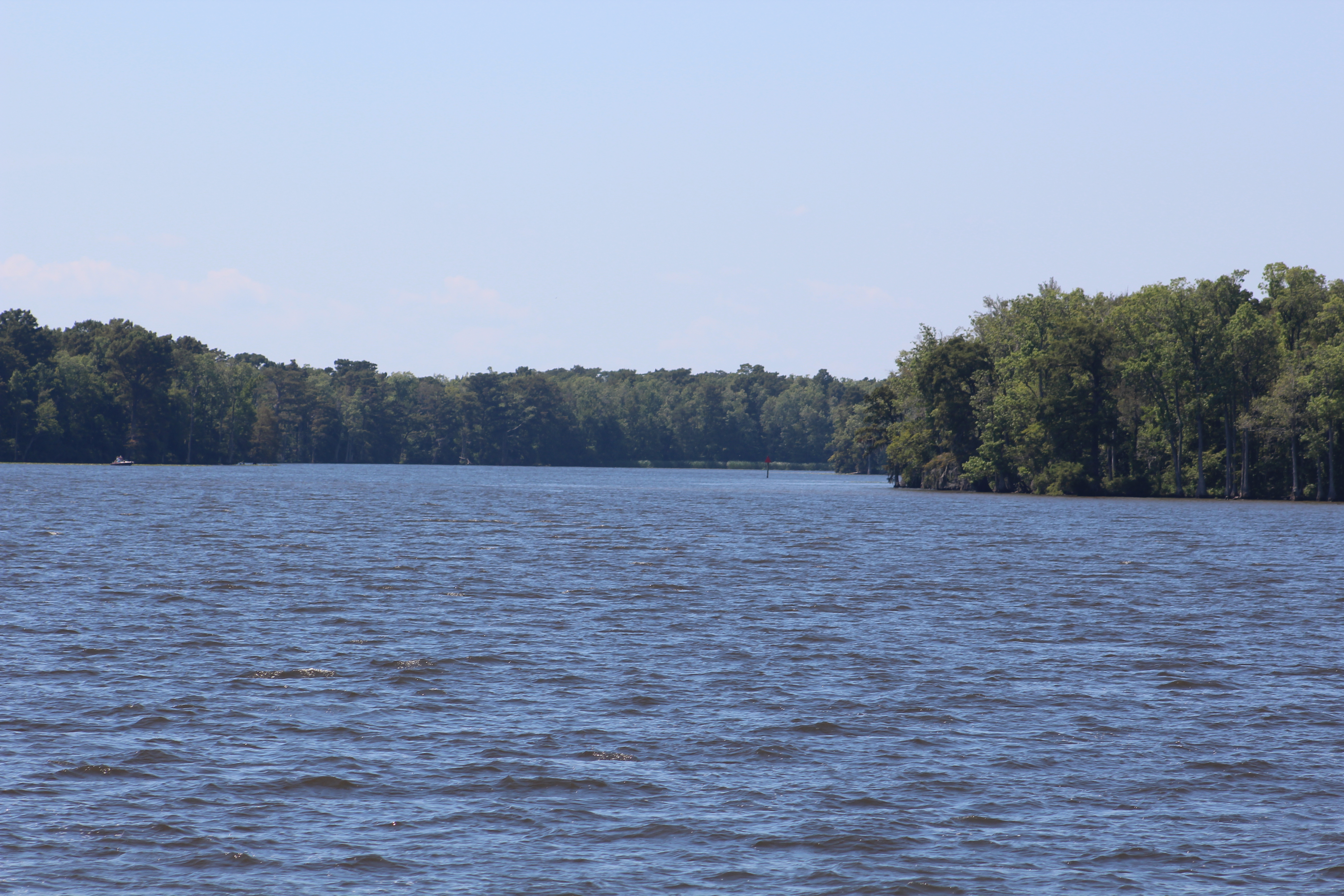
The trip to the west end of the sound took 5 hours and 20 minutes. The scenery did not change much as they were surrounded by water and distant views of land.
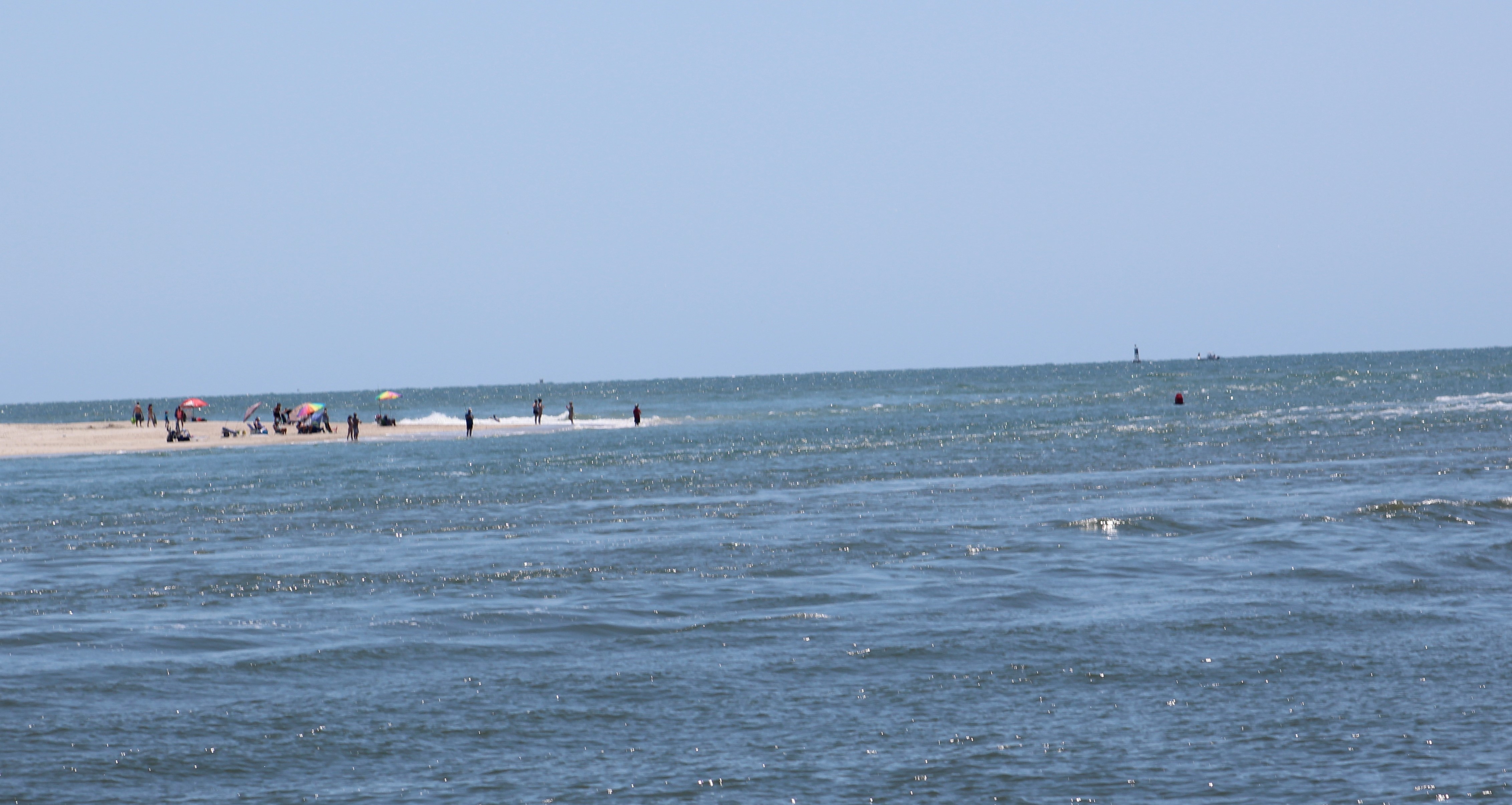
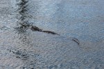
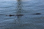
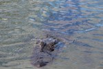
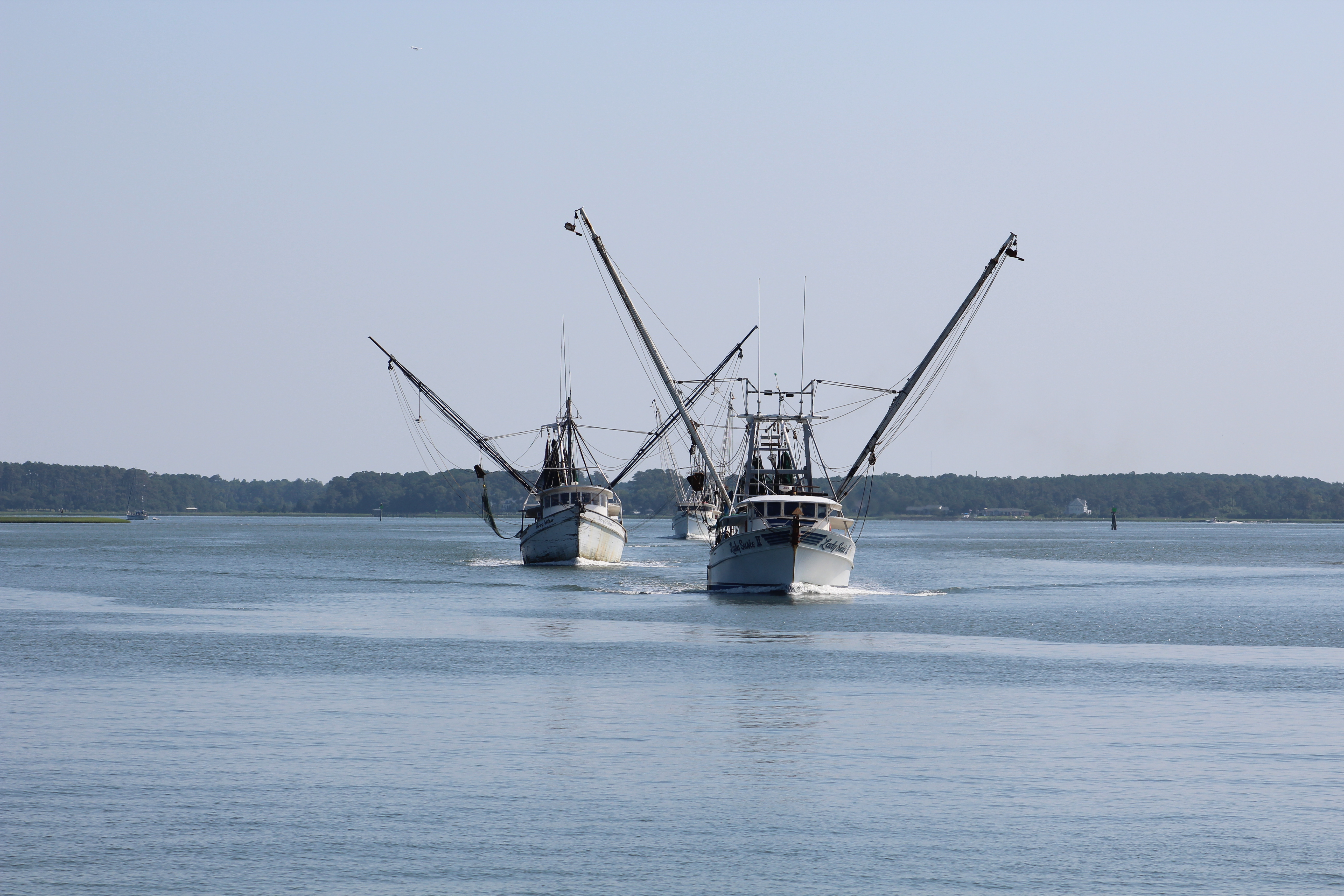
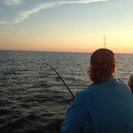
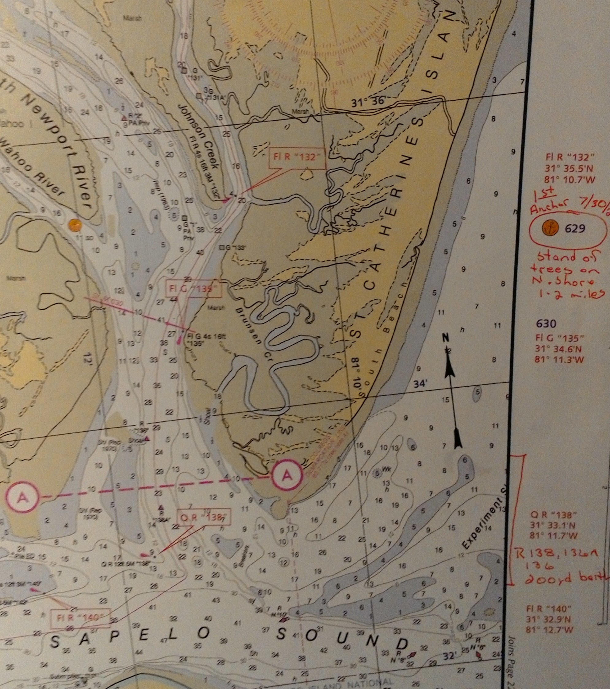
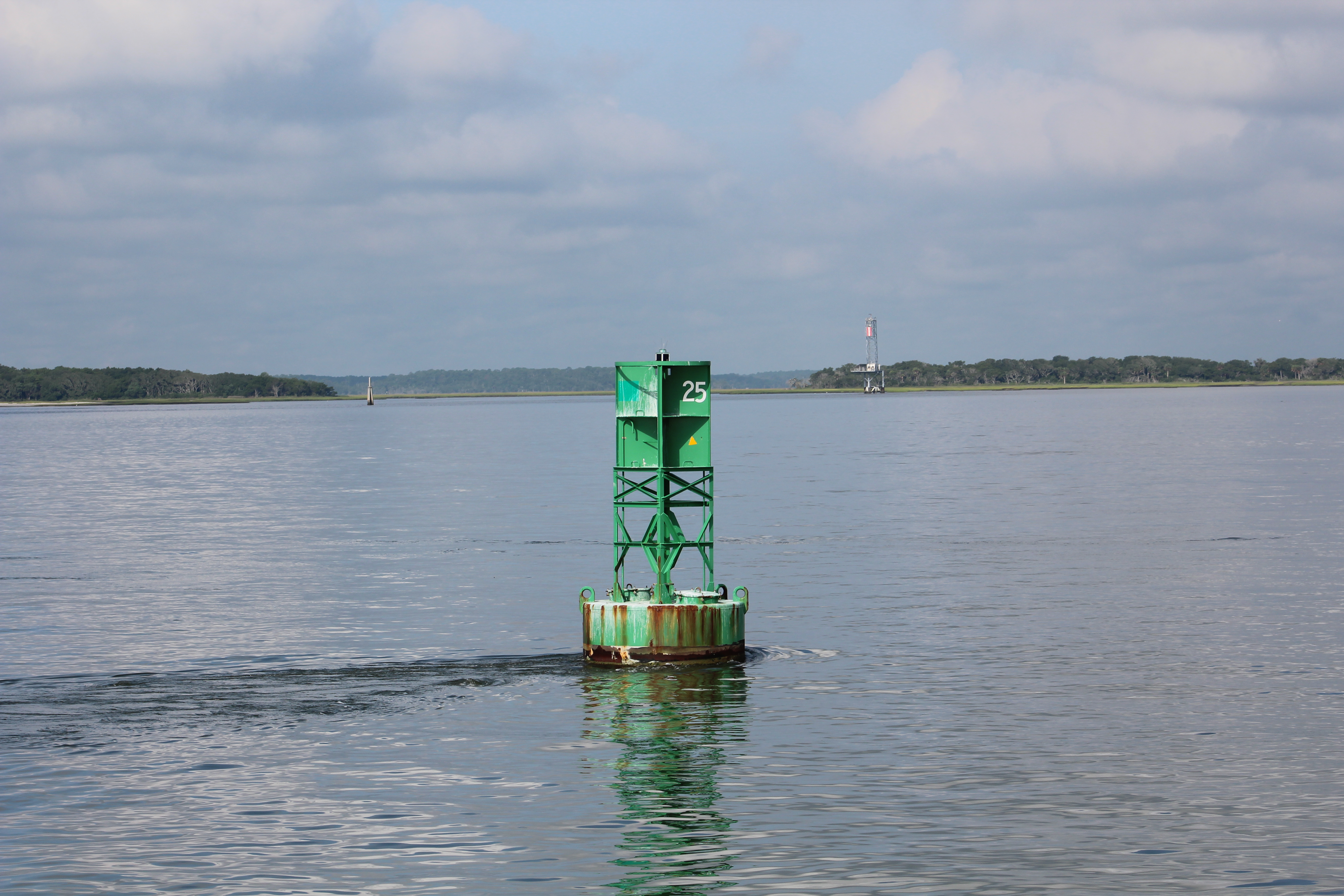
The challenge of navigating these waters were all the crab pots in the water. Each crab pot is marked by a floating buoy. Depending on the color of the buoy, some are easier to see than others. The orange buoys are the easiest to spot. The white ones are difficult when the waves are white capping. The blues and greens are tough to see, and the skipper seems to spot them within yards of the boat. Took the skipper and the mate watching to keep the vessel out of trouble. One crab pot tangled up in the prop equals a bad day cruising.
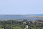
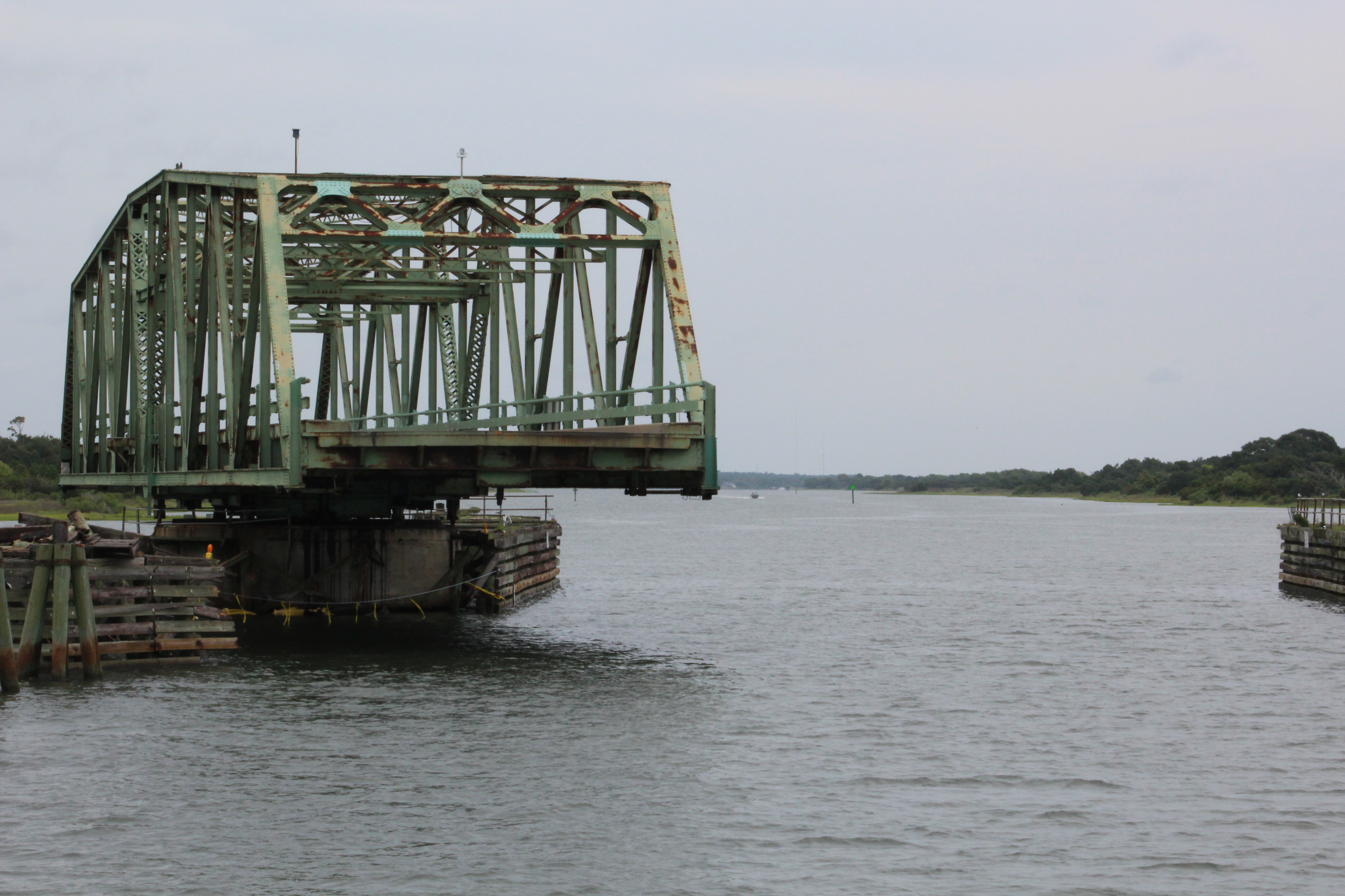
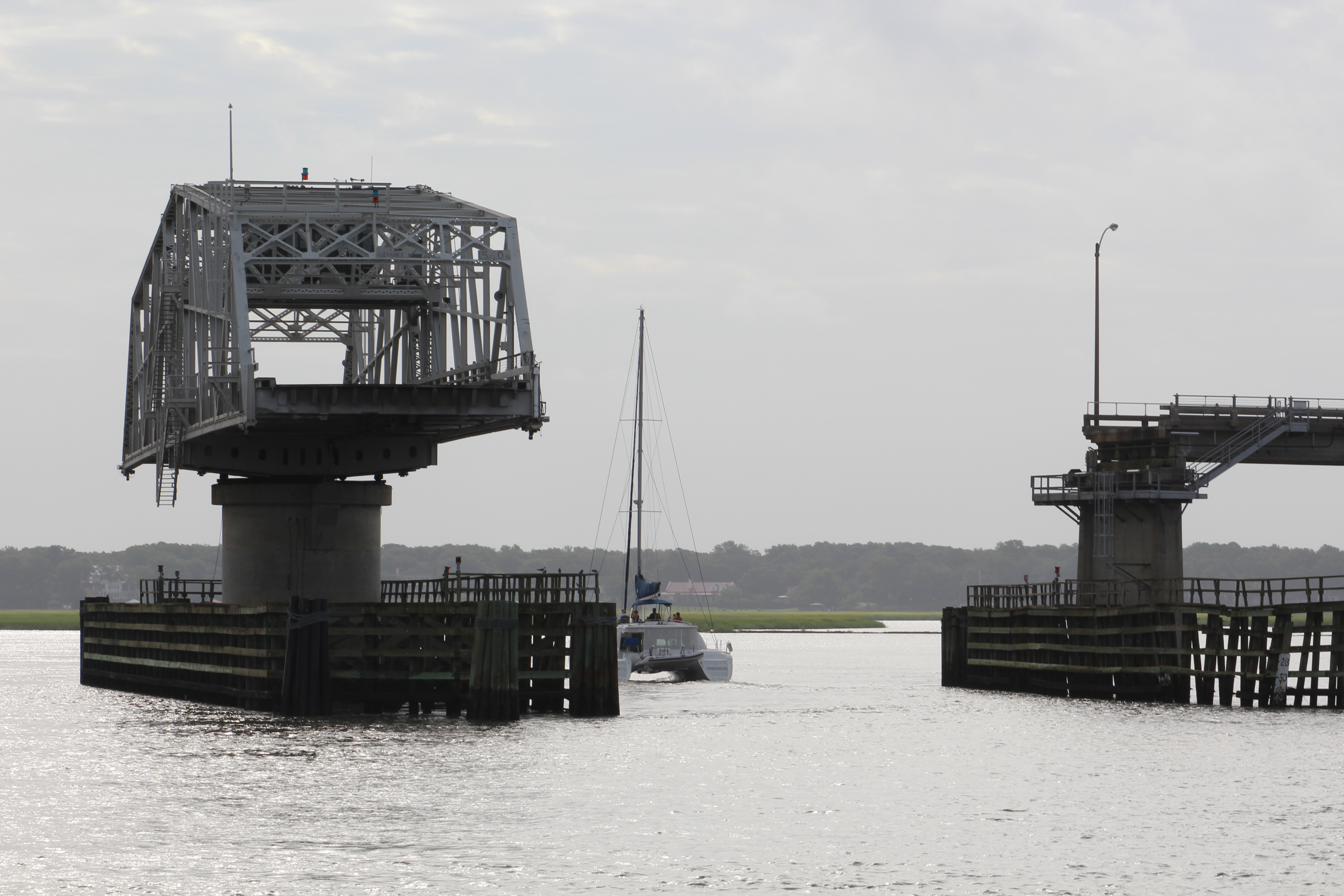
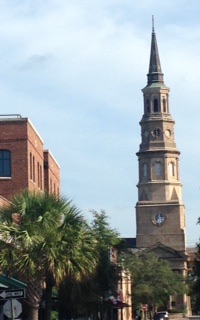
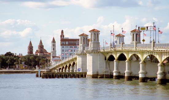
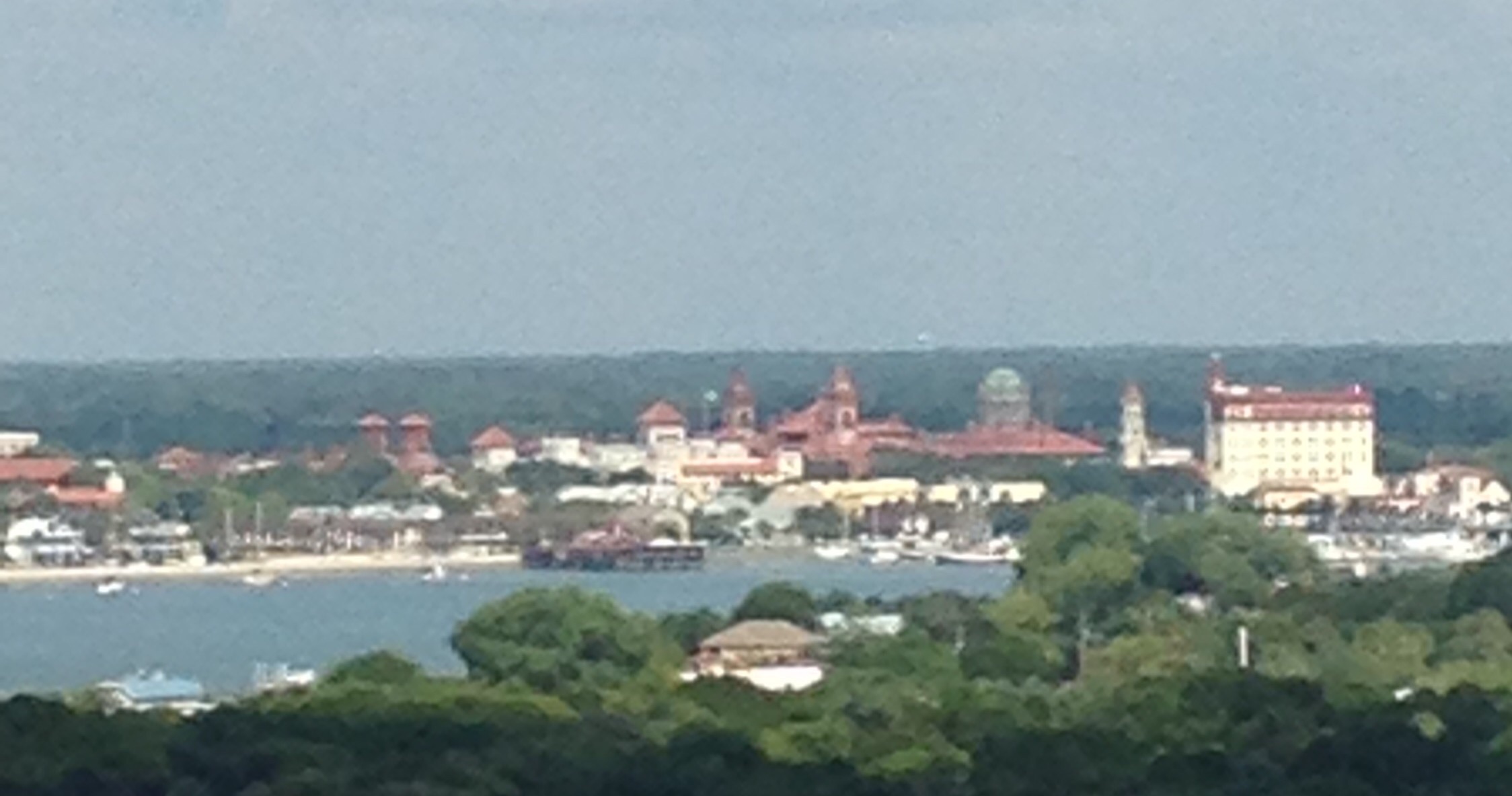
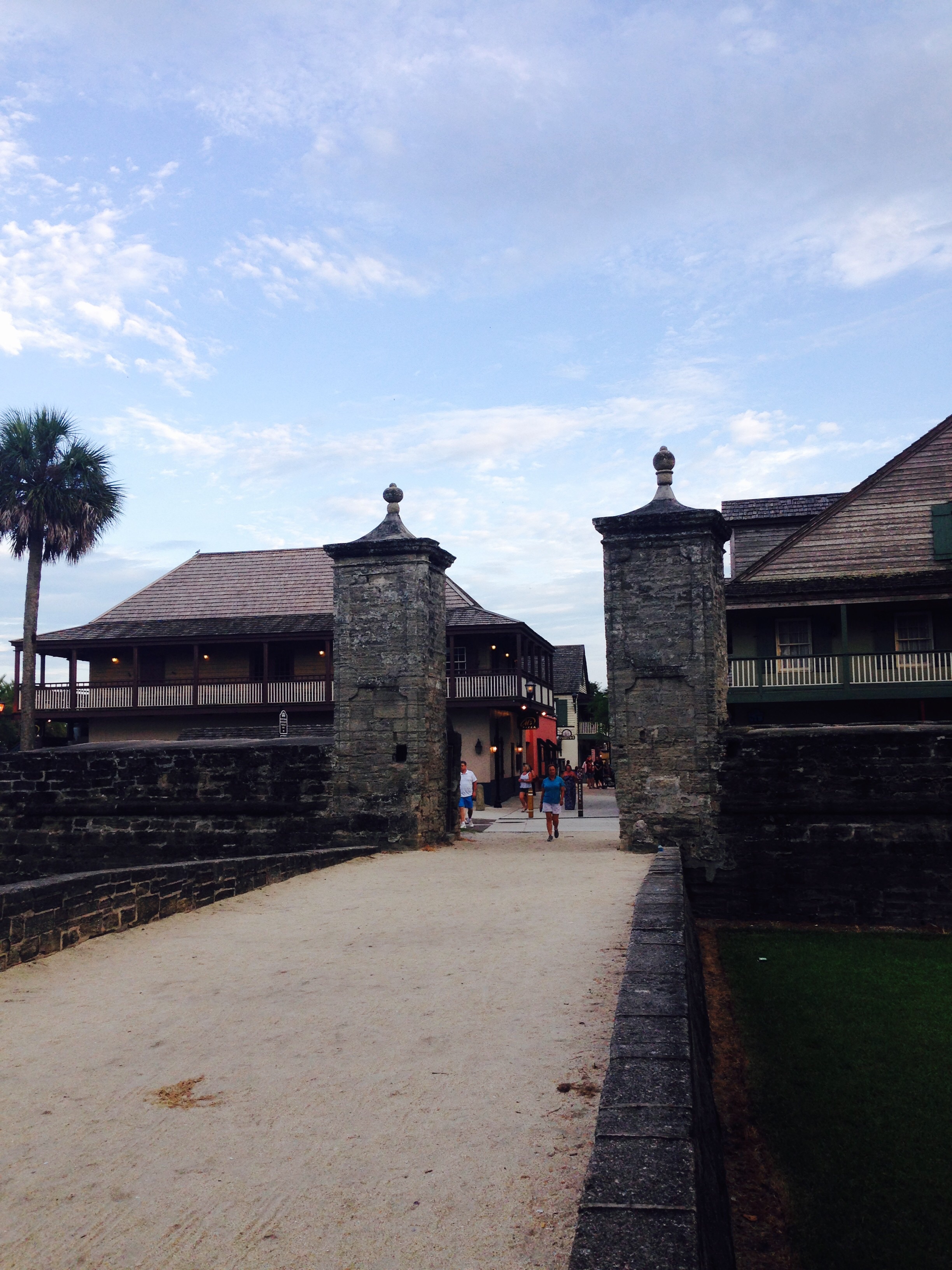
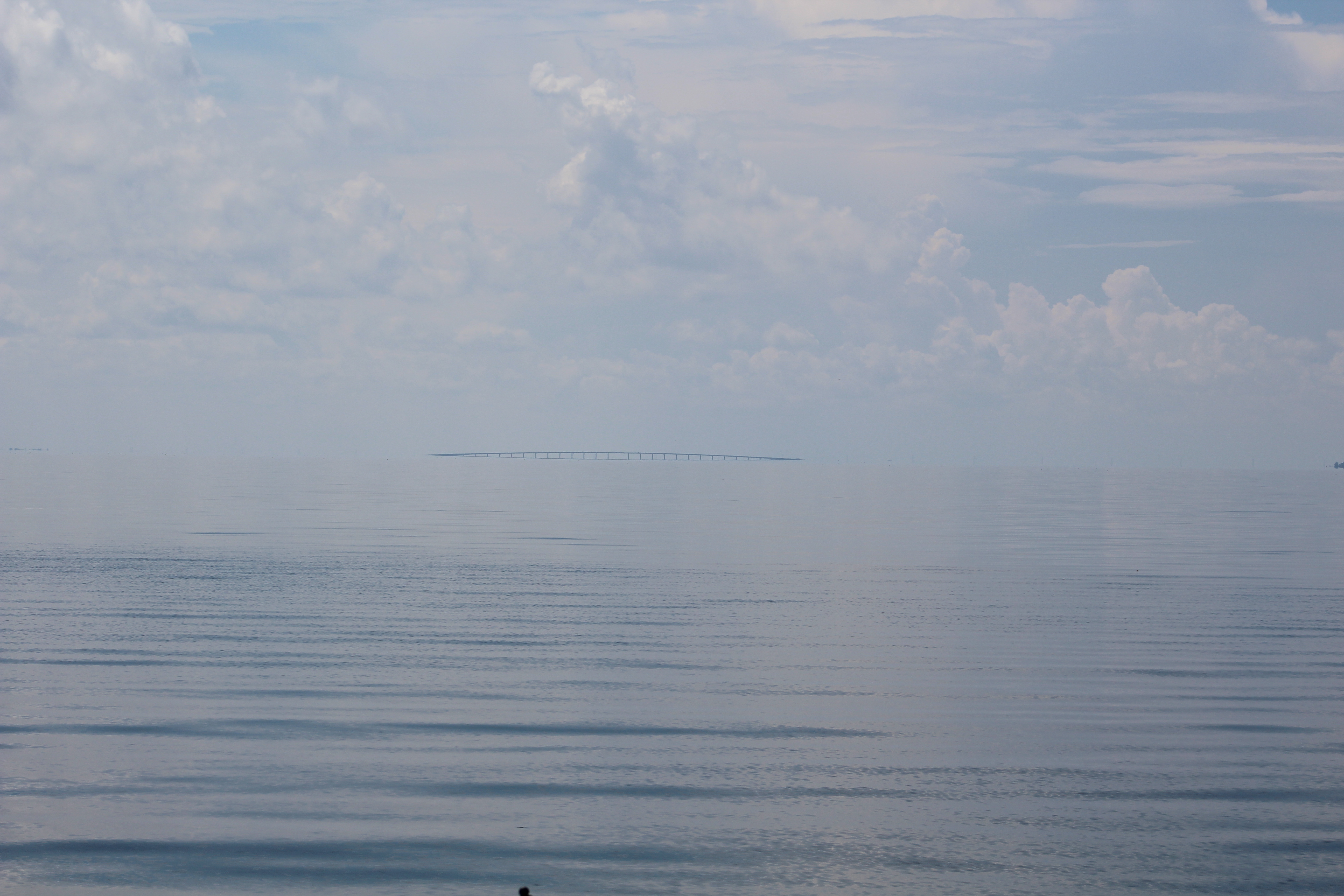
Upon the approach to town there is a 65 foot vertical bridge that spans the sound. The bridge is 4 miles long from shore to shore. When the crew first saw the bridge, they could see the 65 foot portion but not the rest of the bridge. Looked interesting to see a bridge to nowhere.
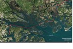
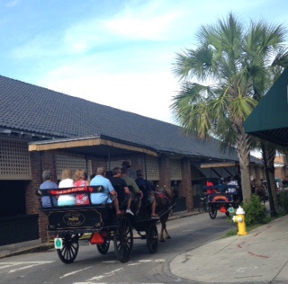
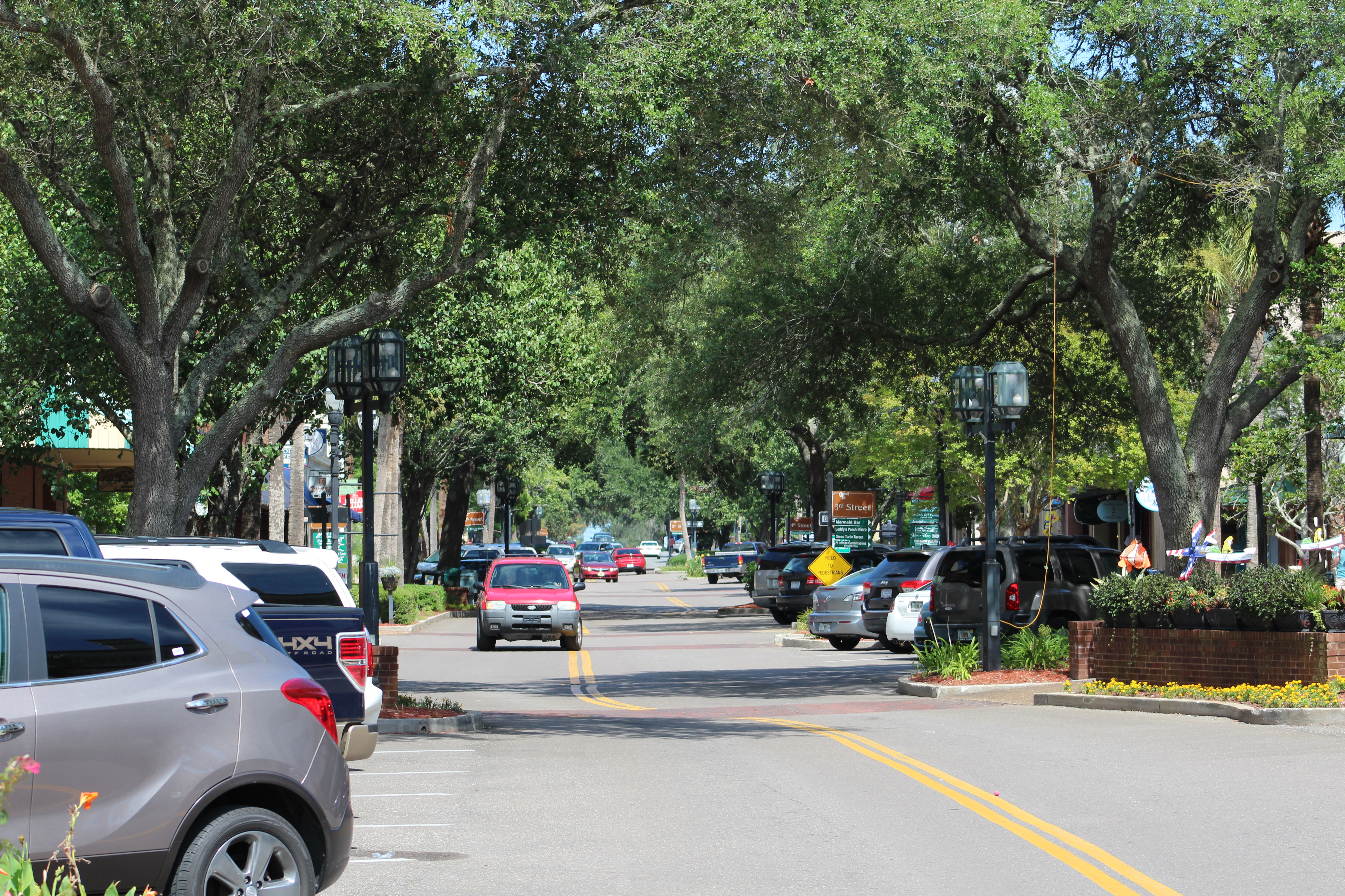
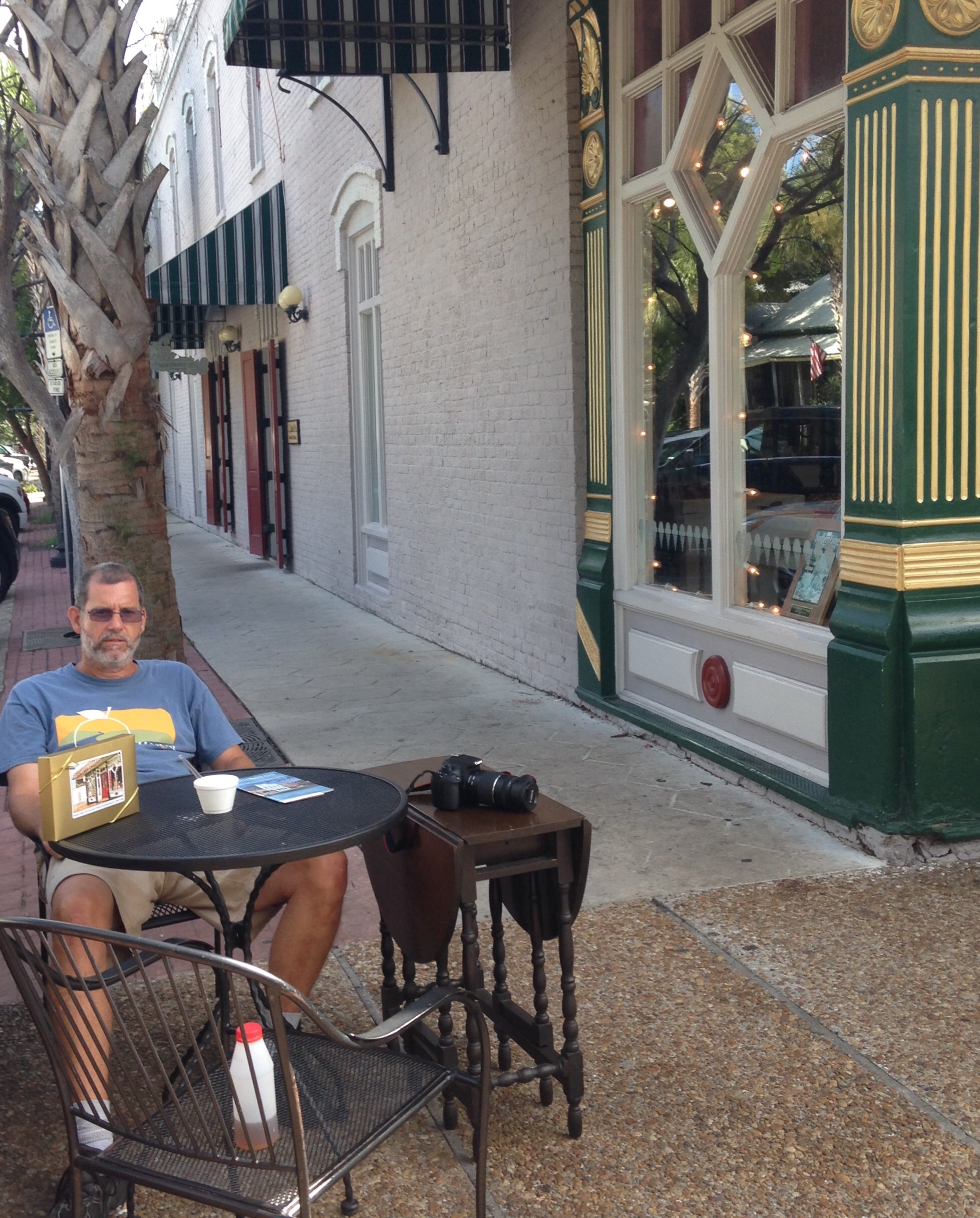
Once safely in Edenton, the crew walked around town to see the sights and learn the history of the town.
The town was first settled back in 1658 by some folks who left Jamestown, Virginia. The site became the first permanent settlement in North Carolina. The town was incorporated back in 1722. Edenton was actually the capital of North Carolina from 1722 to 1743
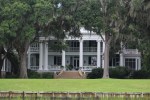
In 1774 Edenton had their own Tea Party. Penelope Barker led a group of 51 women in a boycott of English Tea. The London papers described the women as uncontrollable. The Barker House is on the waterfront and available for touring.
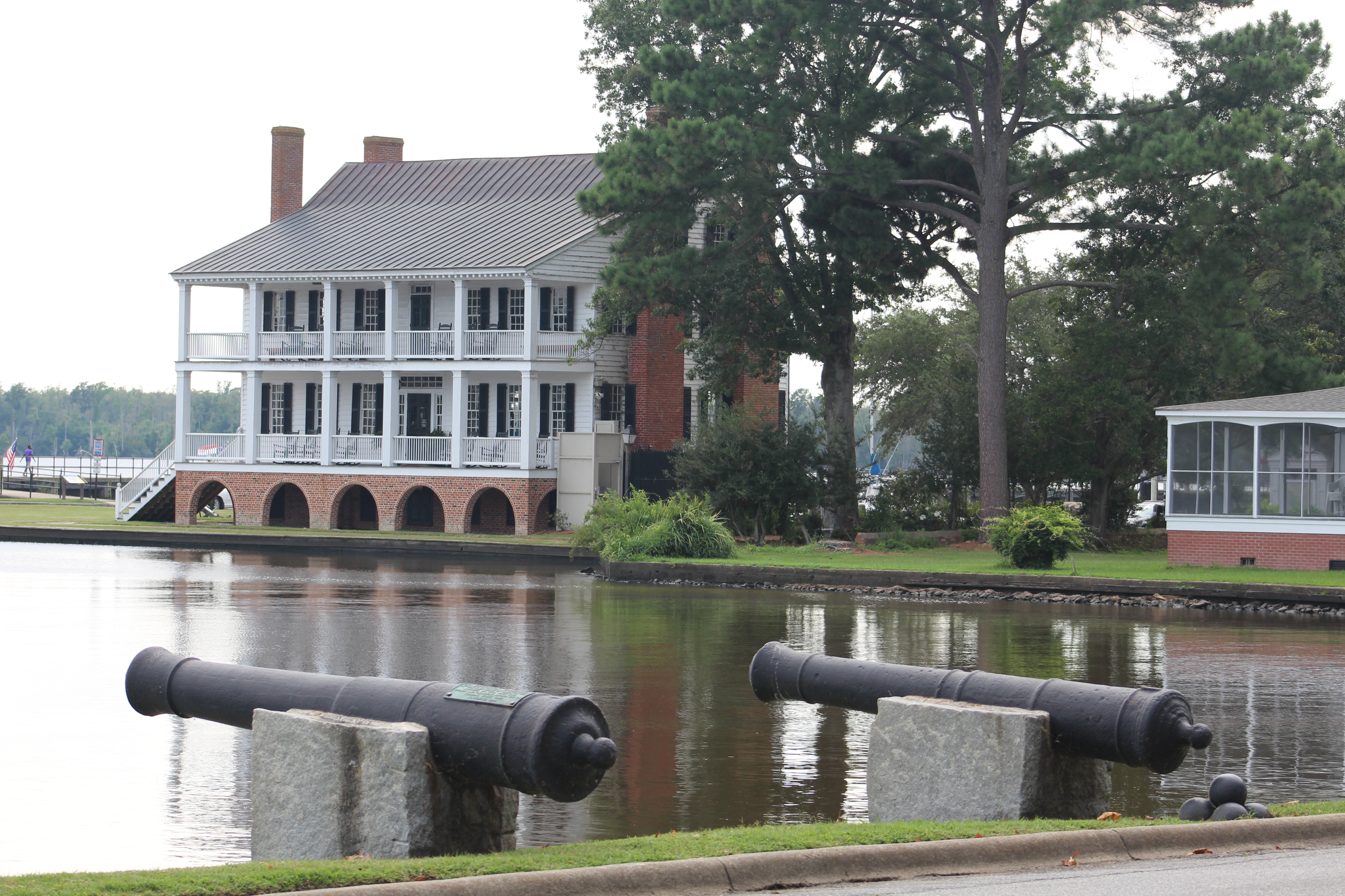
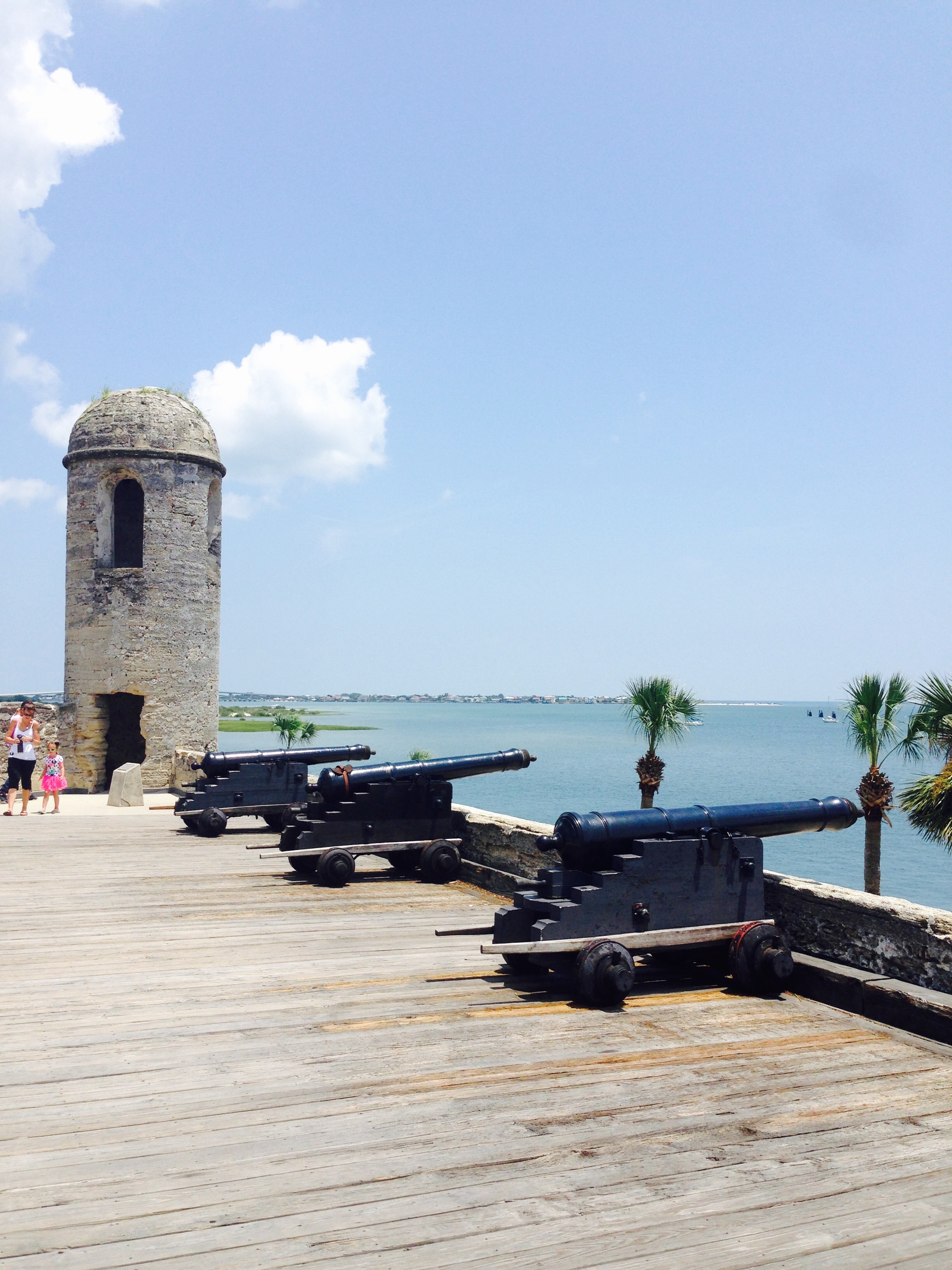
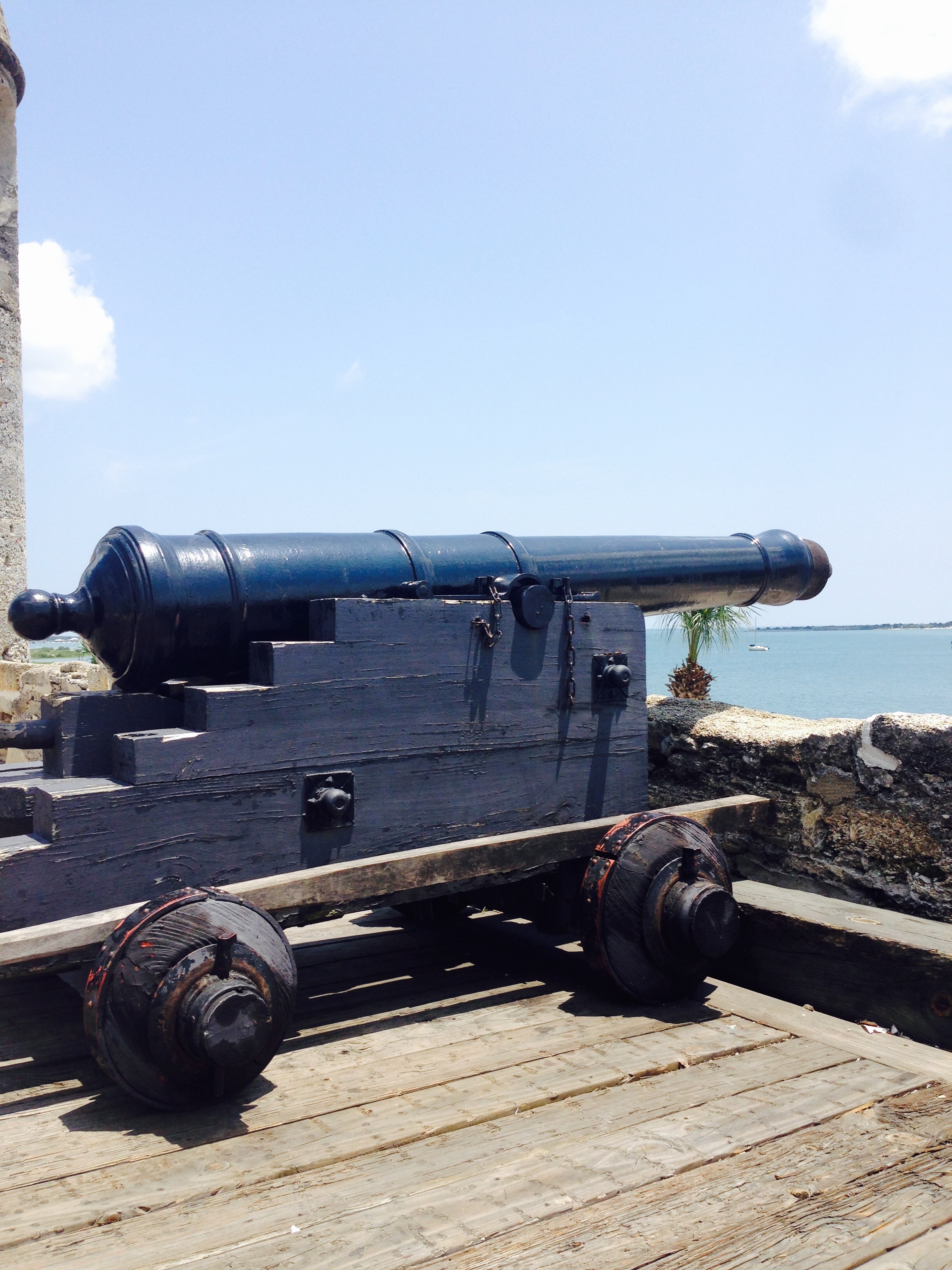
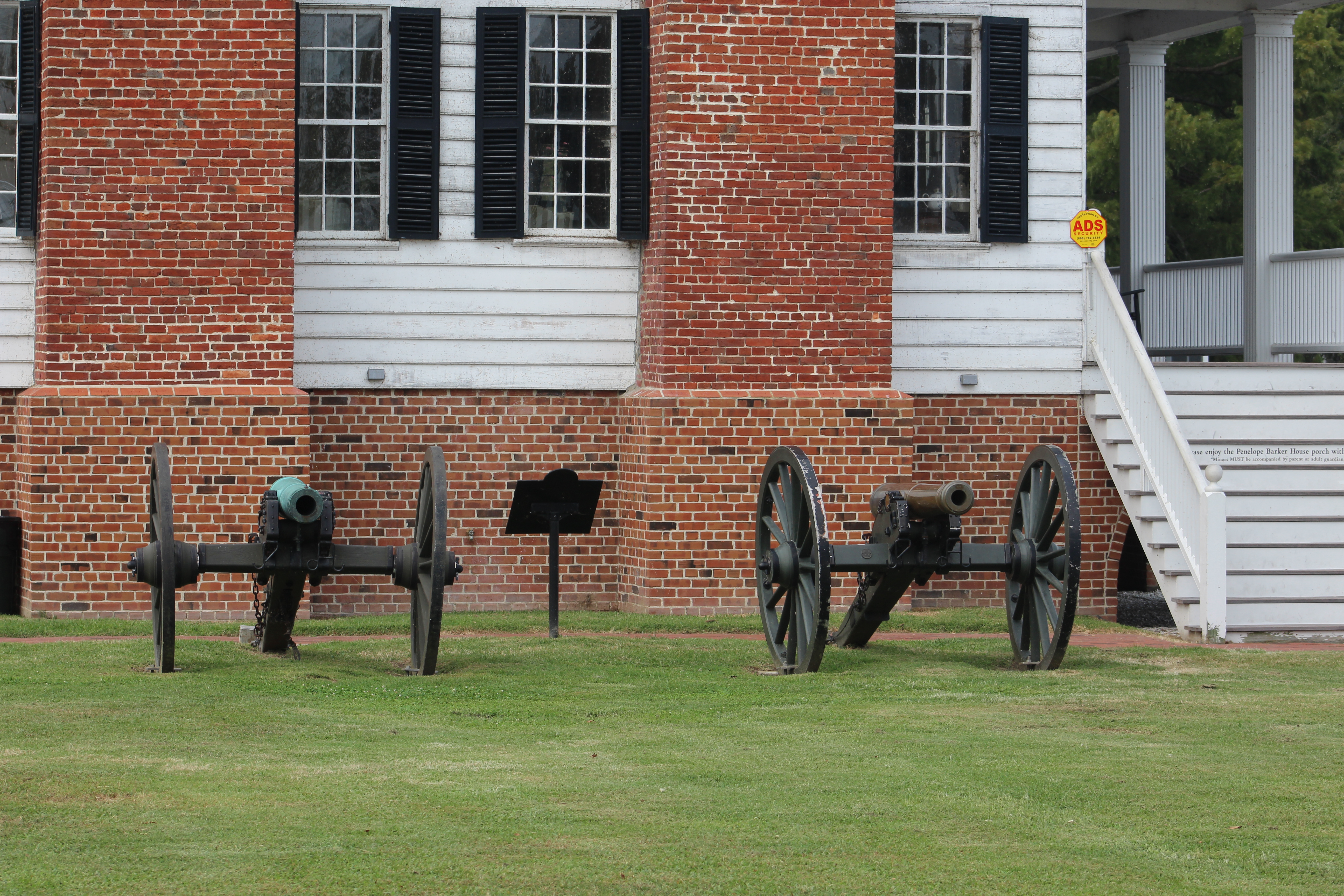
During the civil war the town melted down the church bells to cast 4 cannons. The town was conquered early in the war and the “Edenton Bell Battery” was taken for use by union troops. Following the war, 2 of the 4 cannons were returned and now reside by the Barker House.
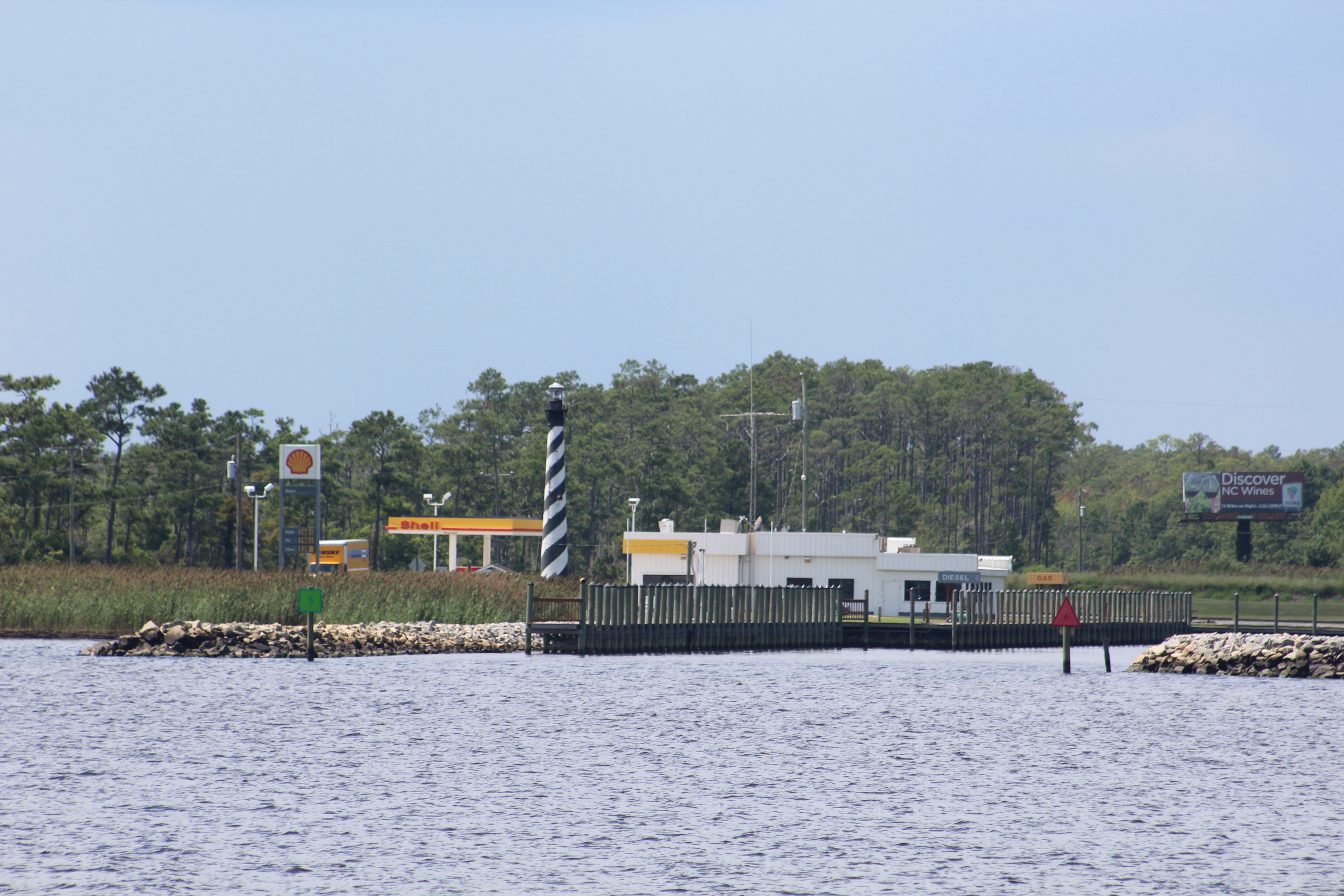
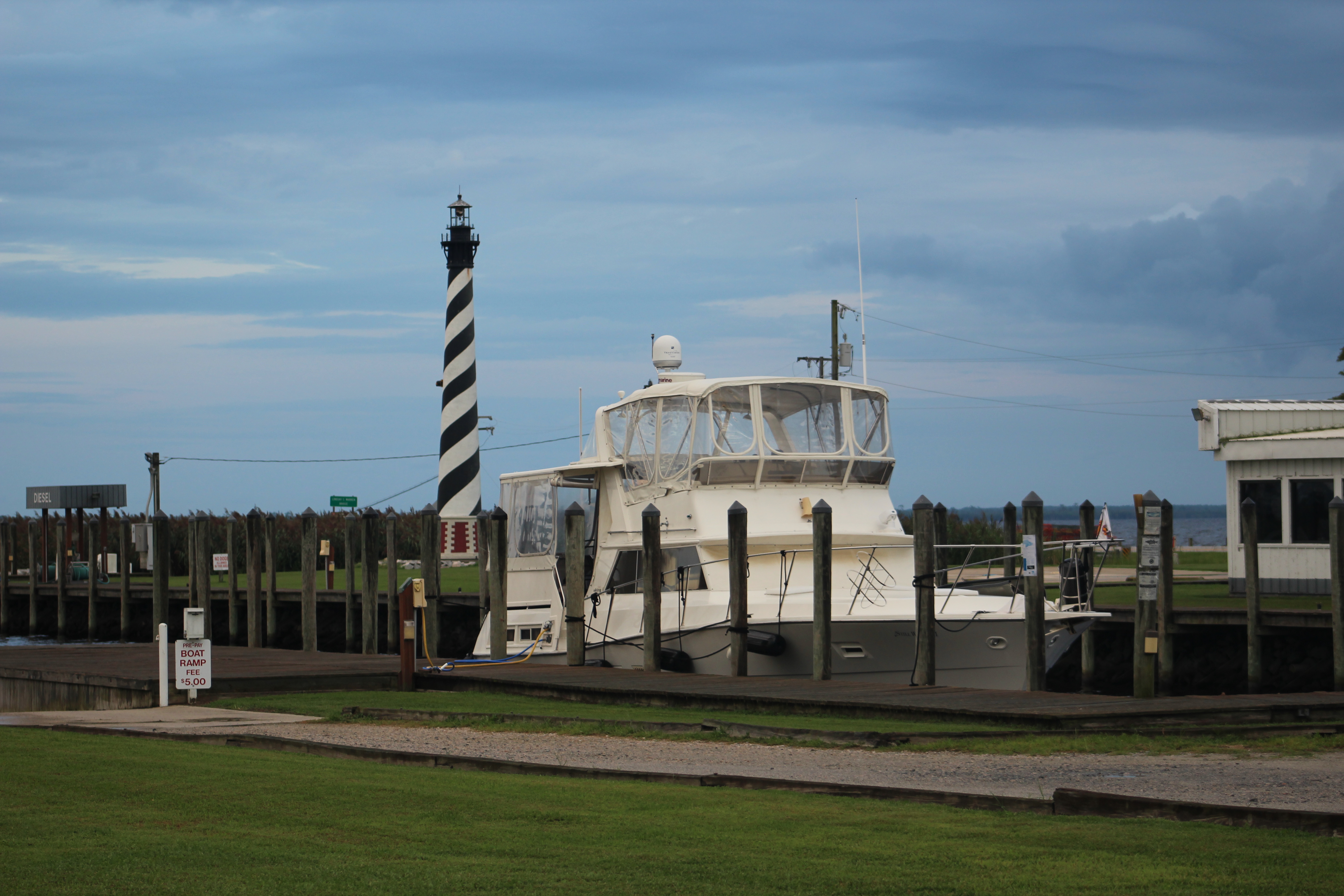
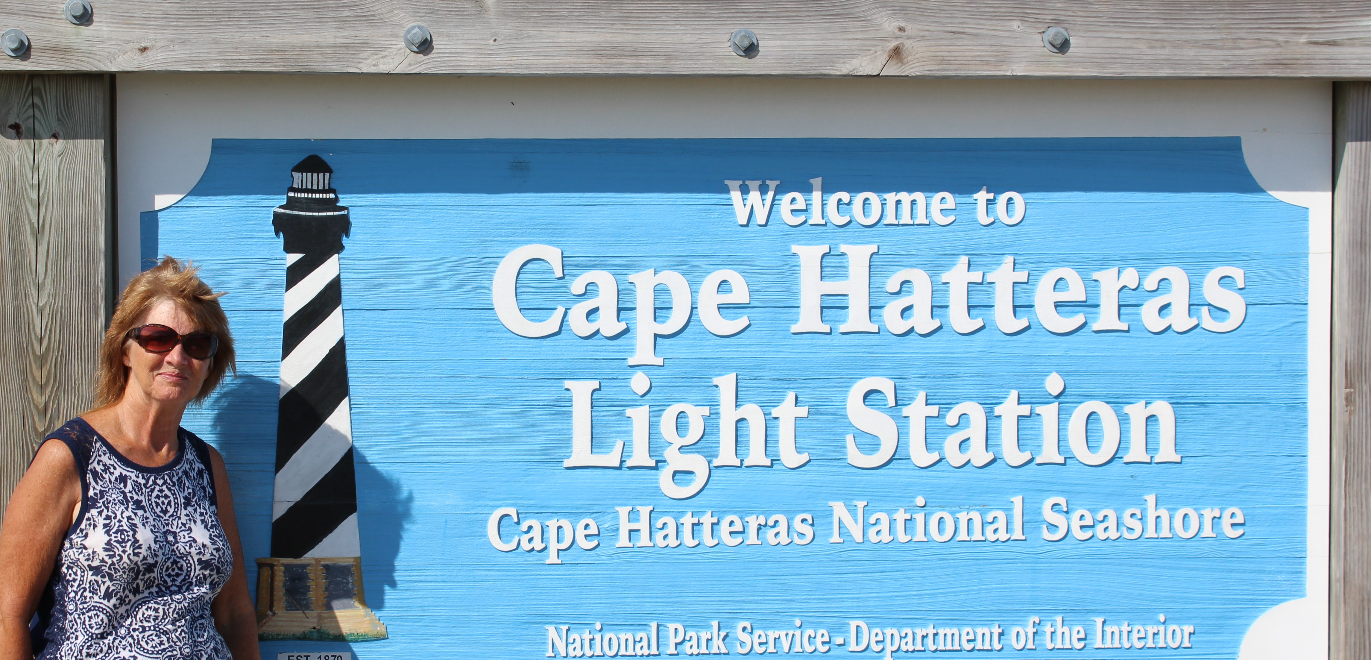
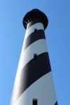
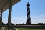
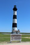
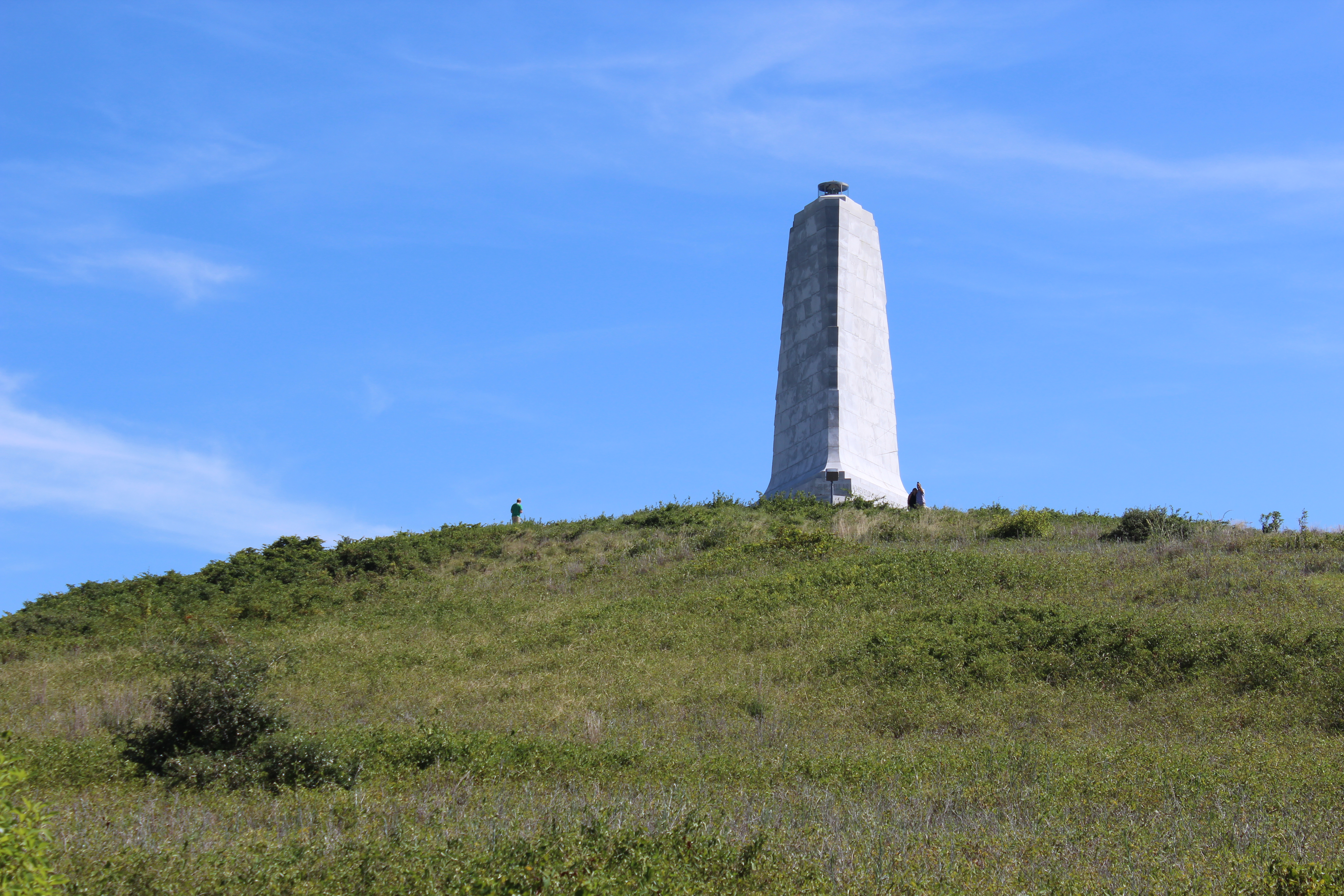
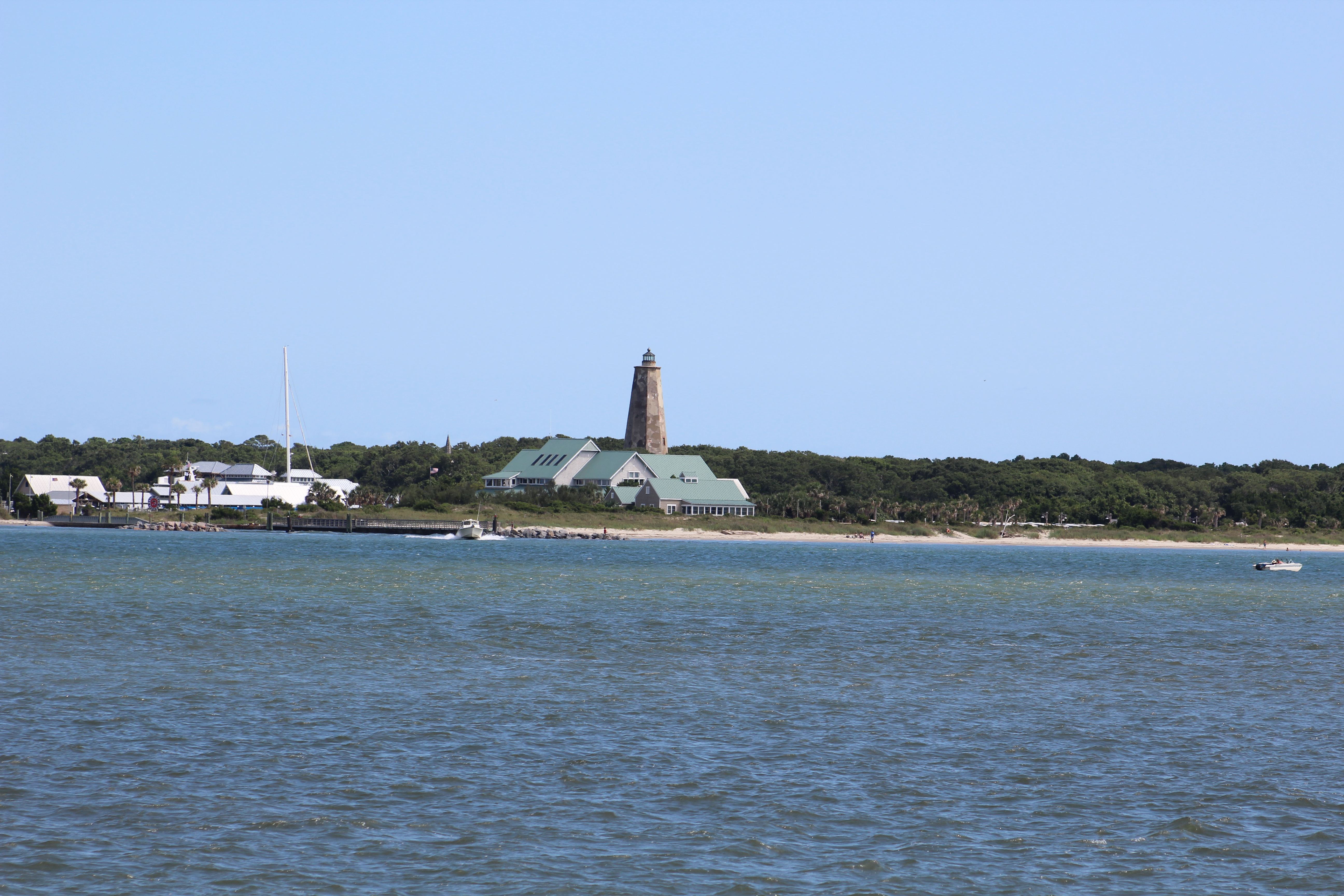
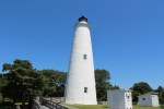
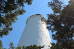
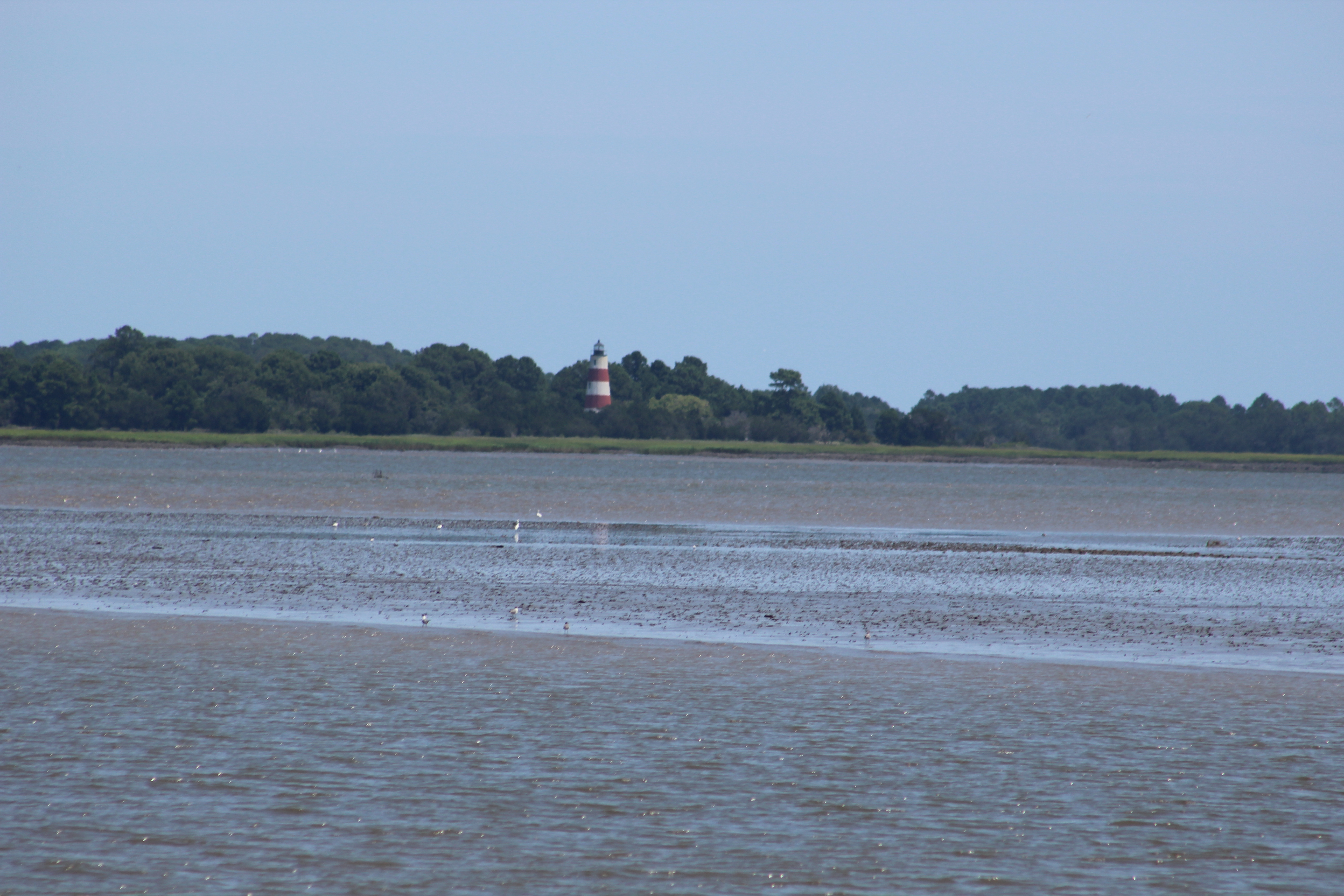
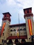
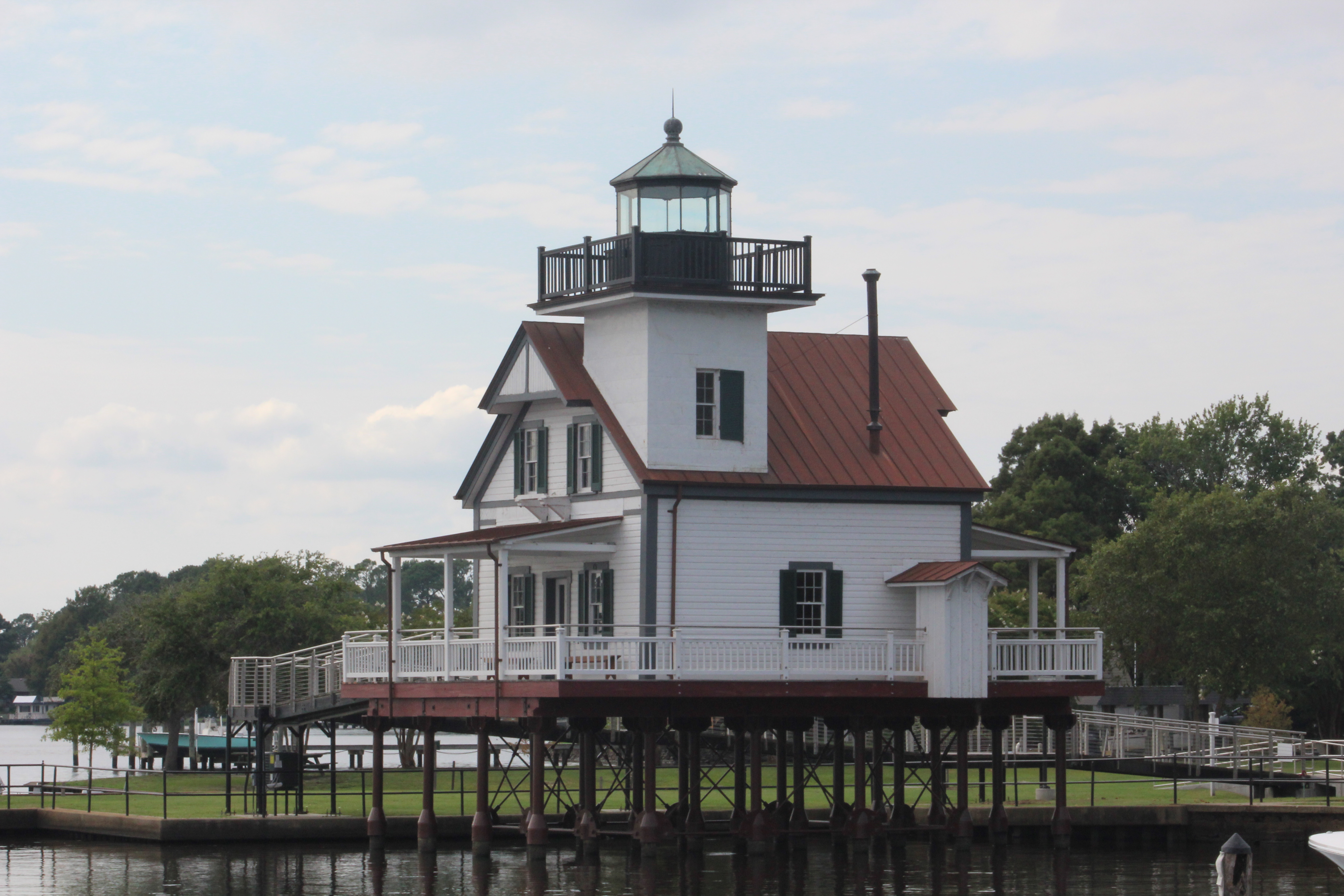
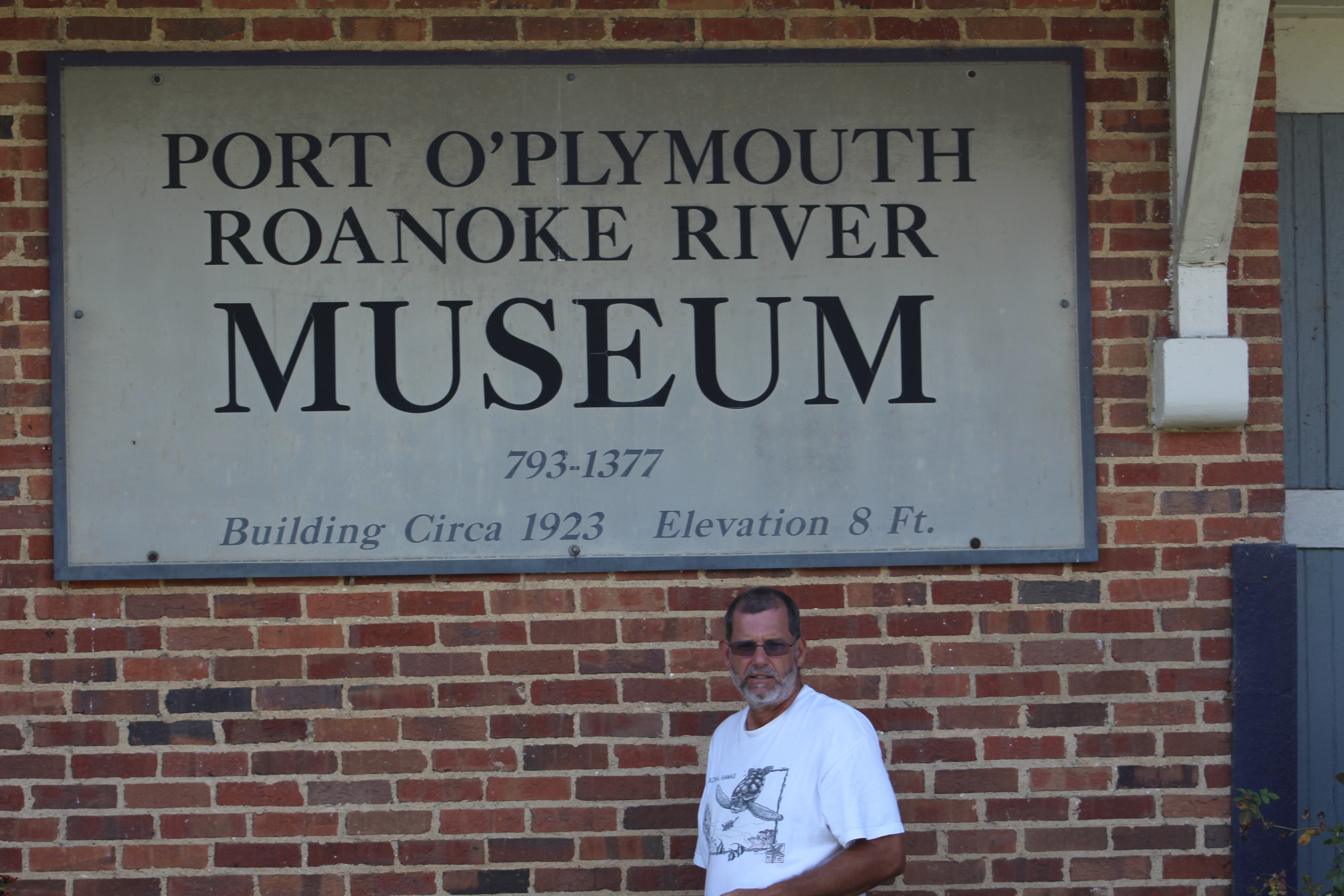
The last point of interest that the crew visited was the Roanoke River Lighthouse. This is actually the third Lighthouse built. After decommissioning in 1955, Emmett Wiggins moved the structure from the Roanoke River to Edenton to use as a personal residence.
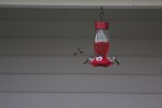
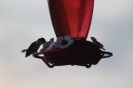
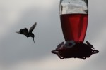
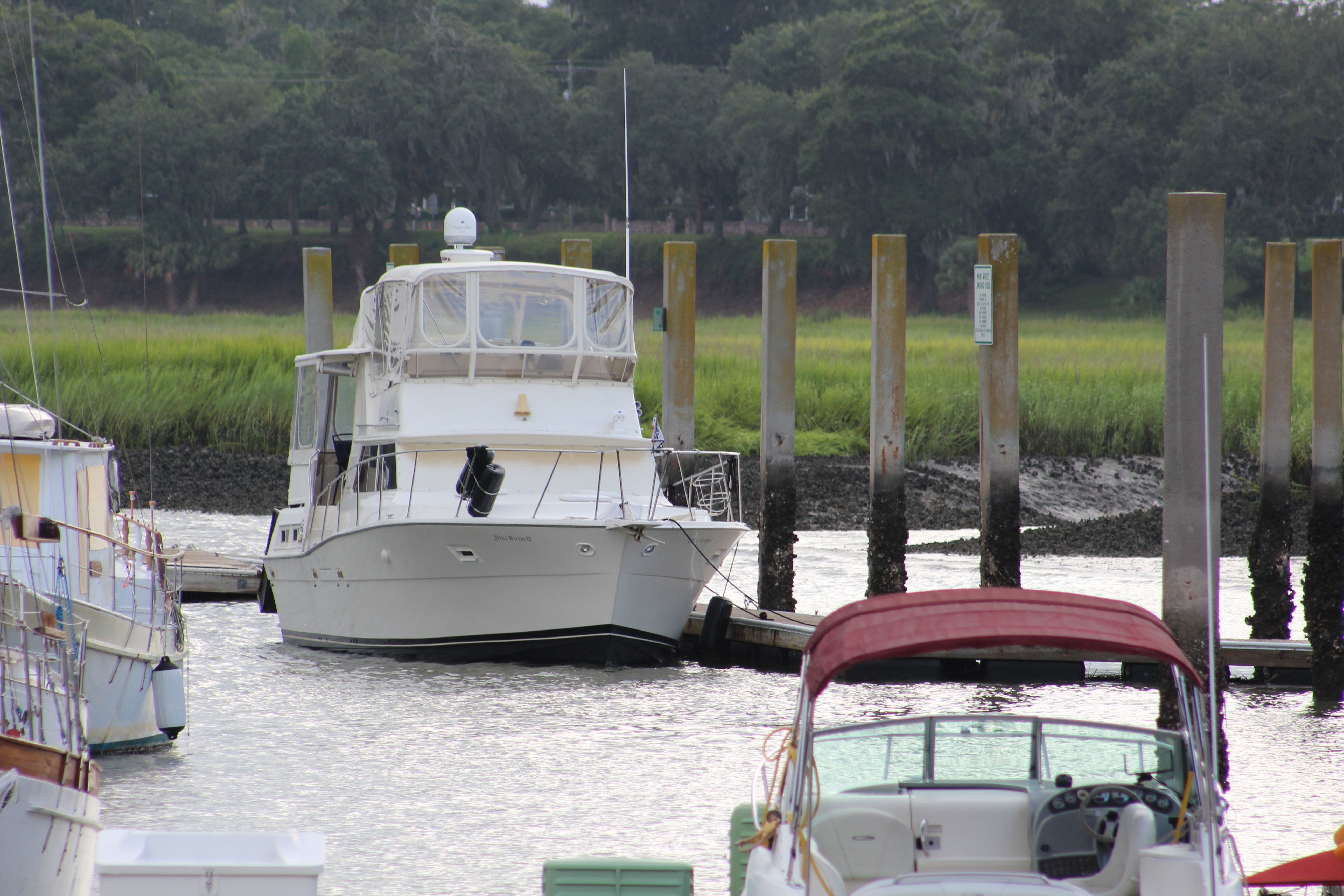
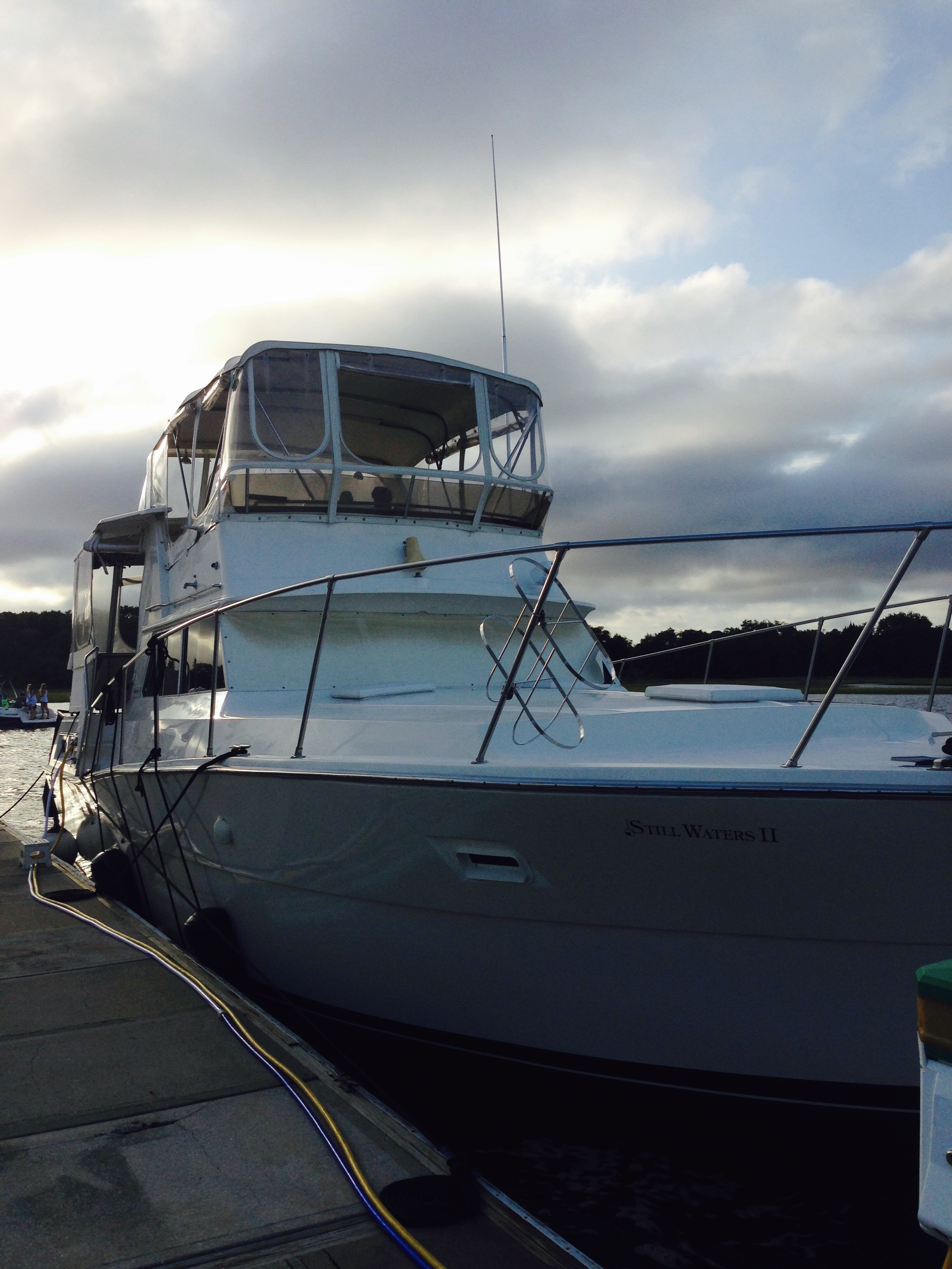
But the thing that will be most remembered by the crew will be the May Fly invasion. The morning after arriving in the marina the boat was covered by thousands of May Flies. Worse yet, when they died they left a green spot from the algae they had been eating. Needless to say, after weeks of cleaning and getting the boat looking ship shape, the bug invasion has left Still Waters II looking more like a spider café. The dead bugs and green spots will take more than a few days to clean up, but heck, what else were the crew going to do?
Plymouth
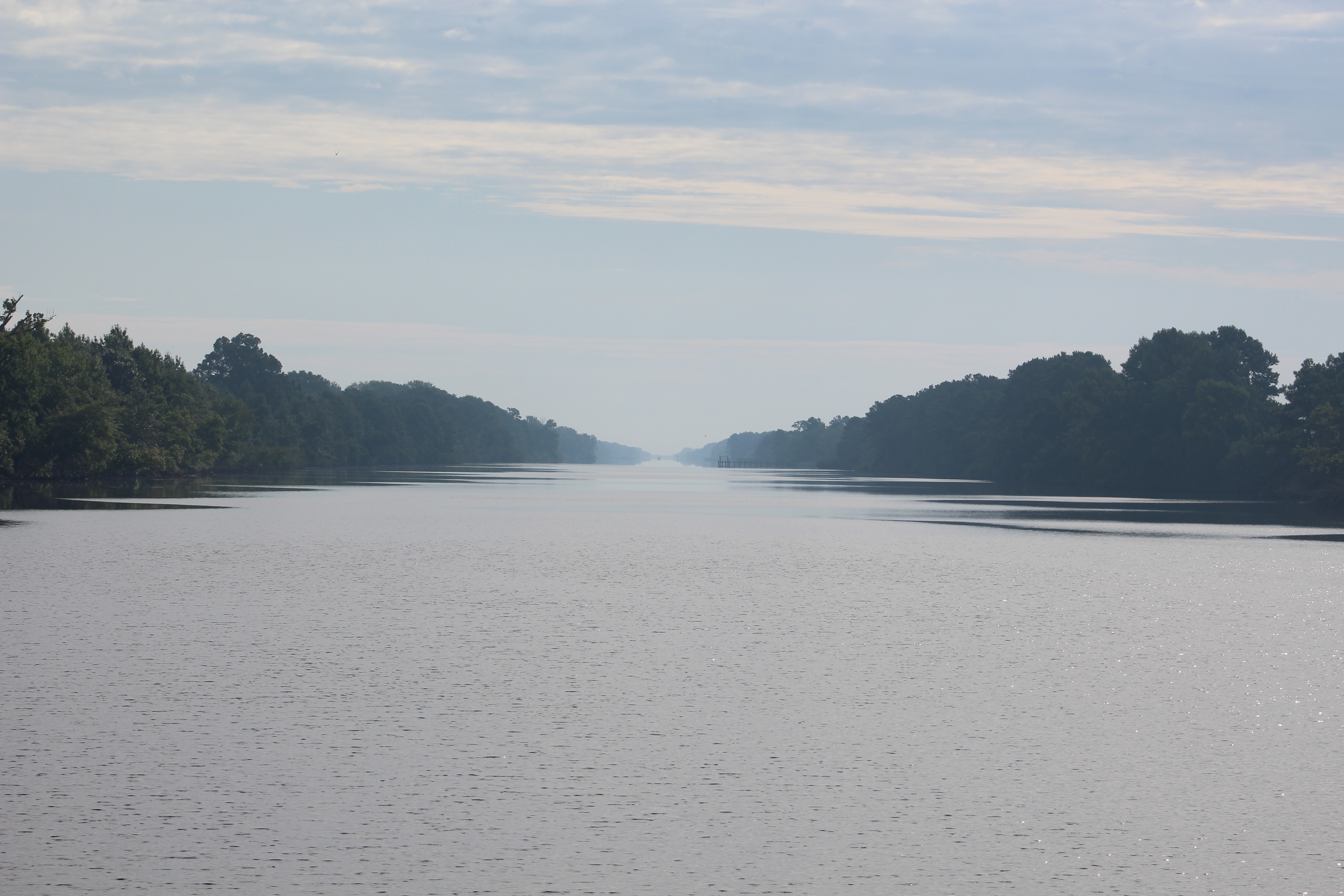
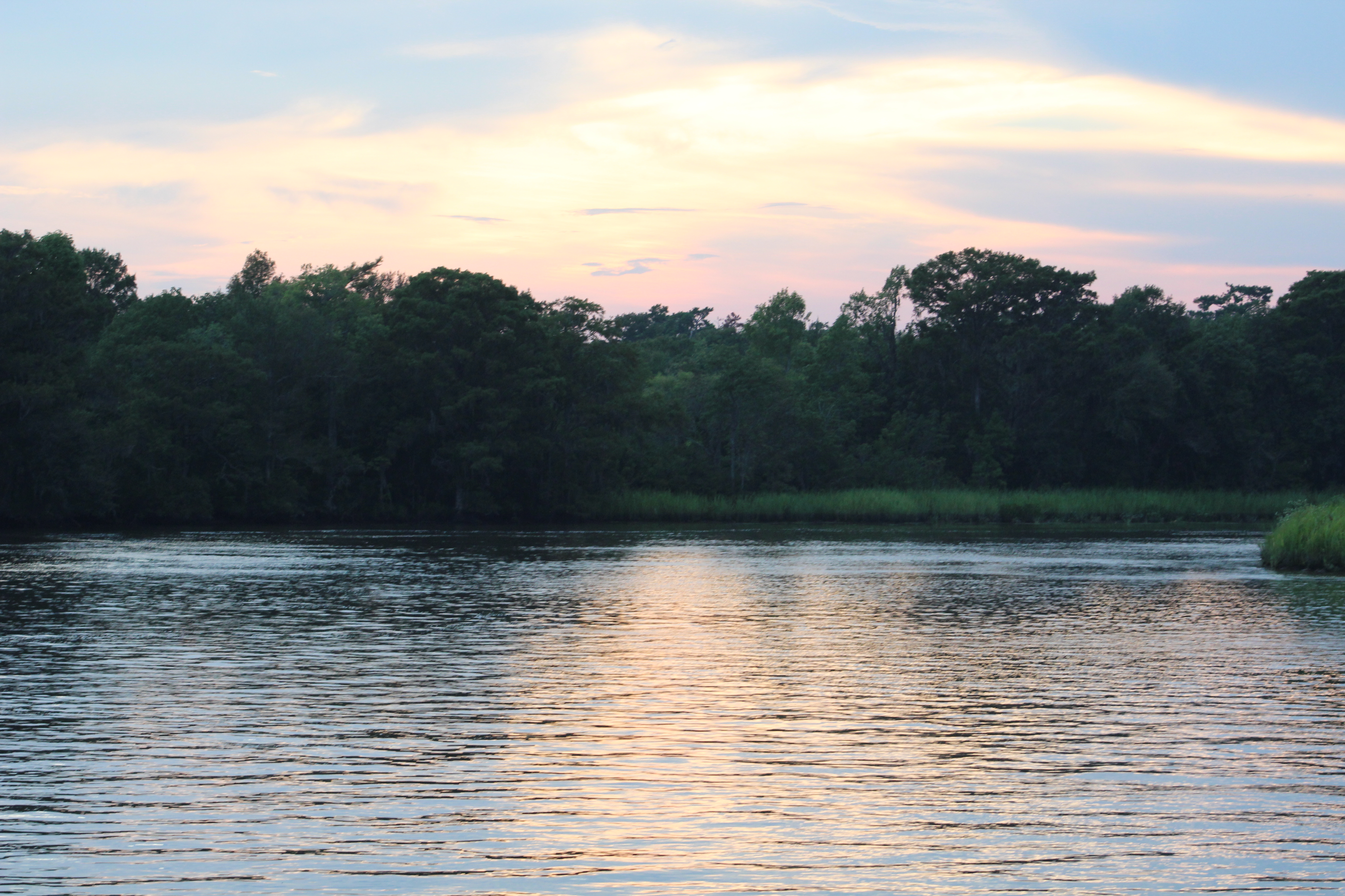
The run over to Plymouth took about 2 hours. The wind was out of the north so the crew rode the waves with the wind on the stern of the boat. When they turned west to enter the Roanoke River, the crew took a few hard rolls as the wind and waves were directed at the beam of the boat. They quickly entered the mouth of the river and all was calm.
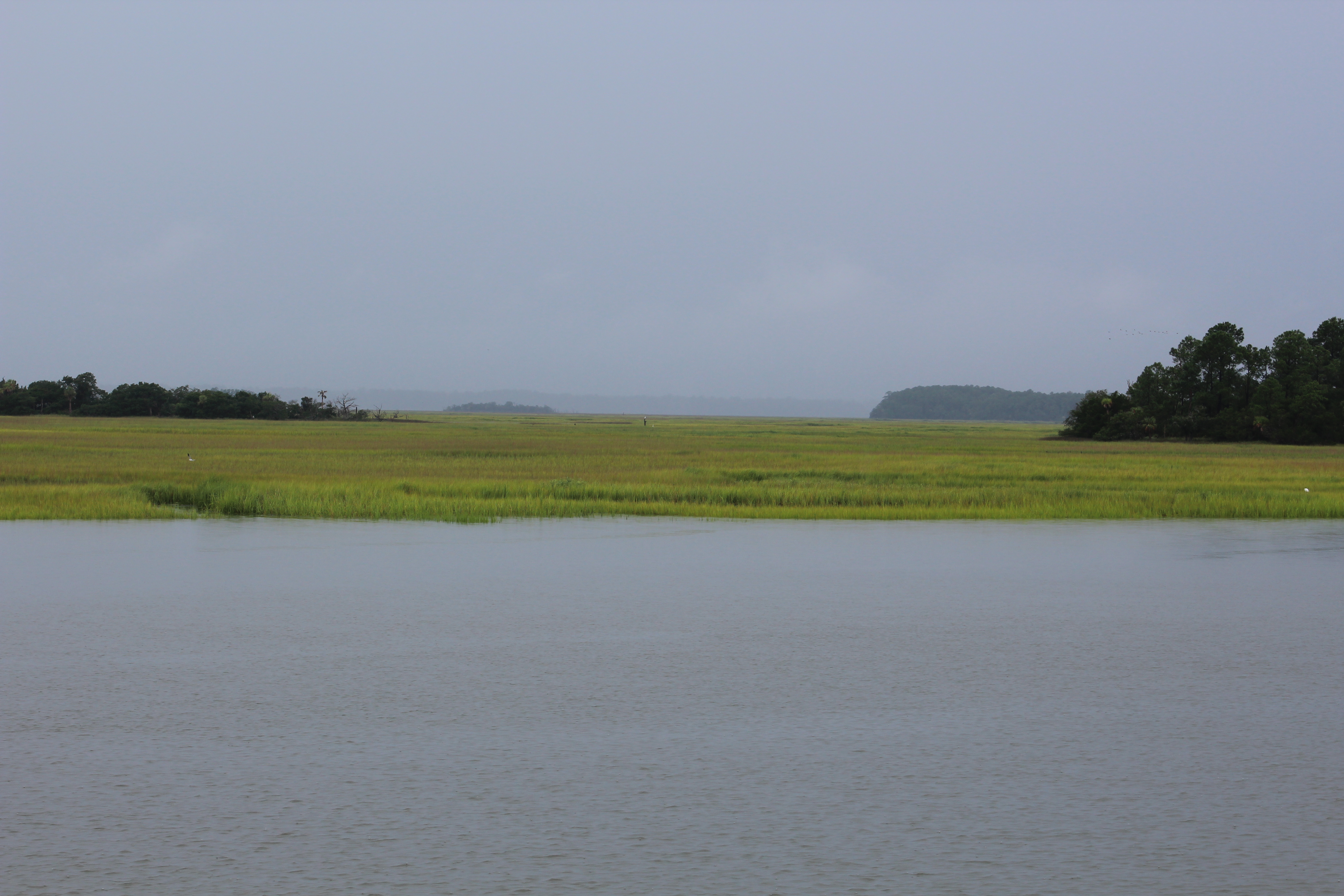
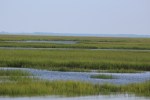
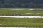
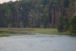
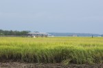
The 4 mile run up river was beautiful. Cypress trees initially line the banks of the river. Hard woods line the river bank by the time the marina is reached.
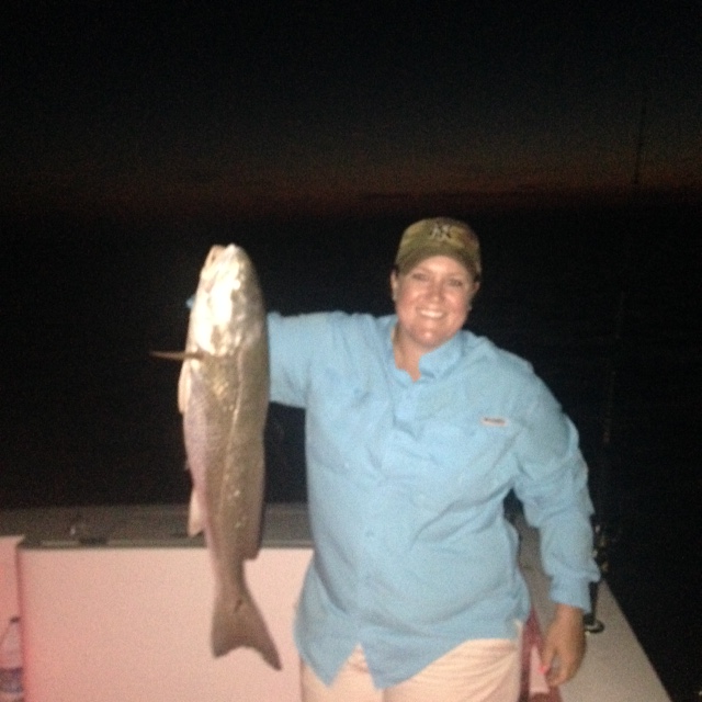
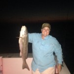
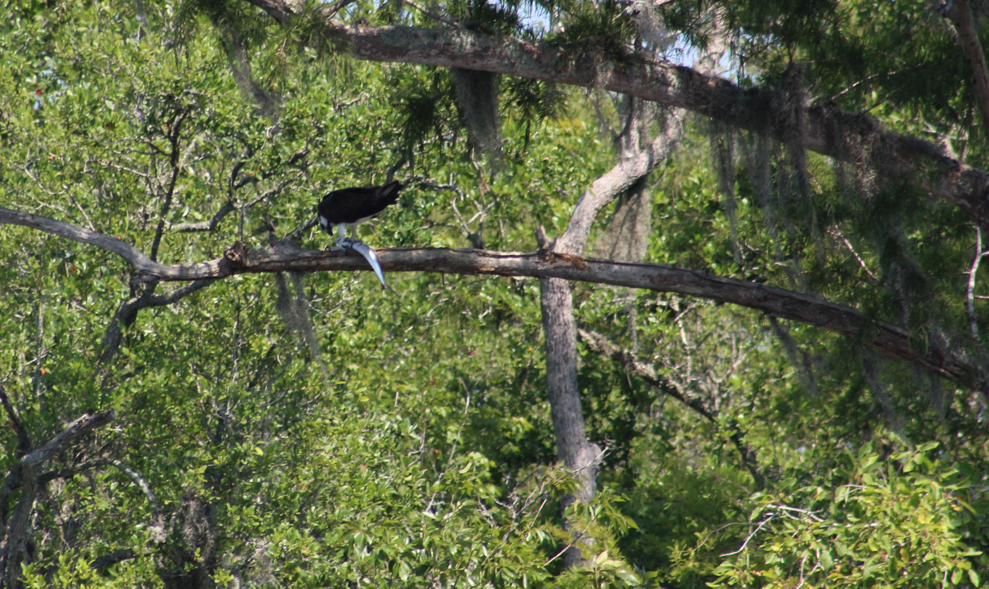
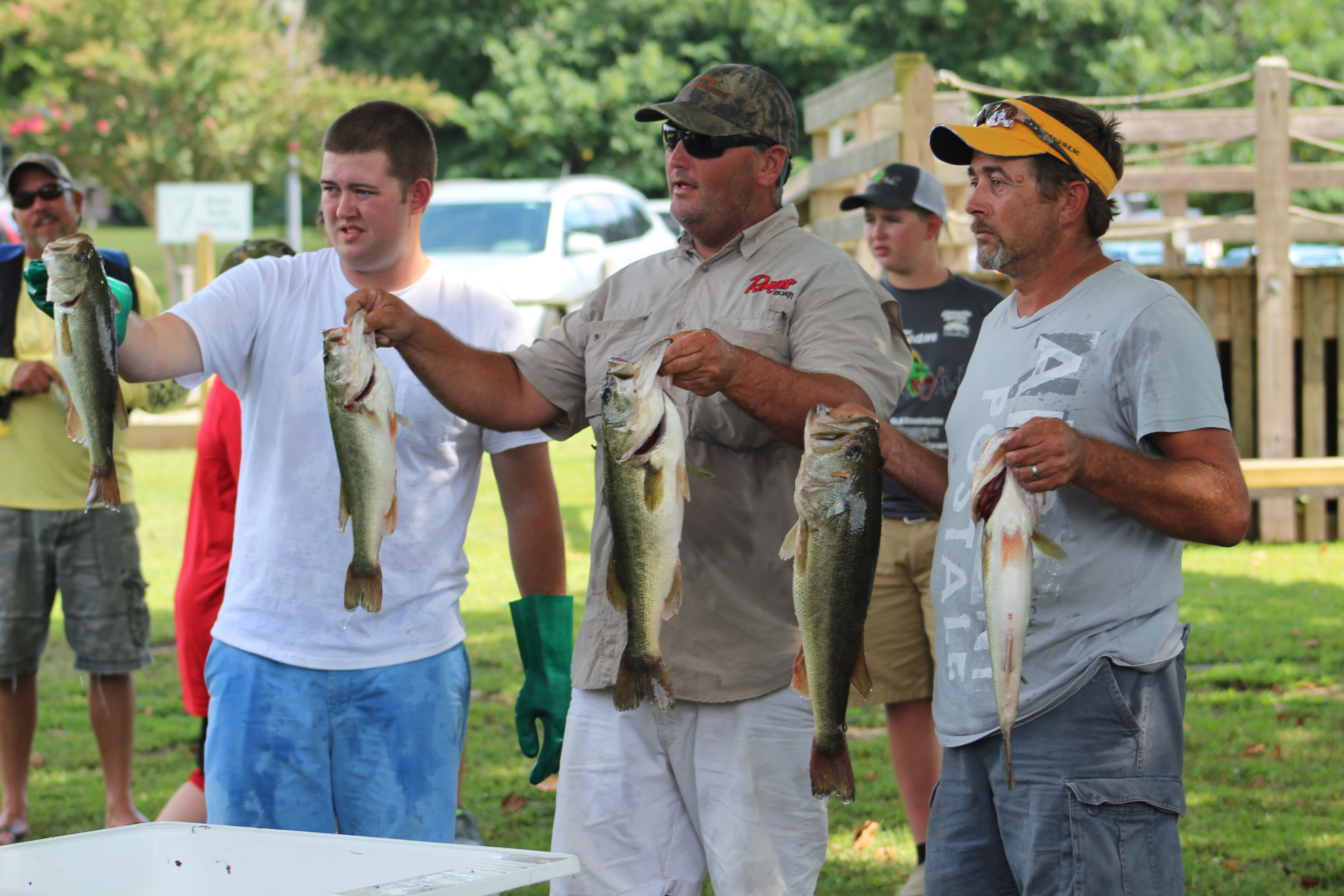
There was a fishing tournament in progress and the bass boats were flying up and down the river. Someone should tell these guys you have to have a line in the water to catch fish.
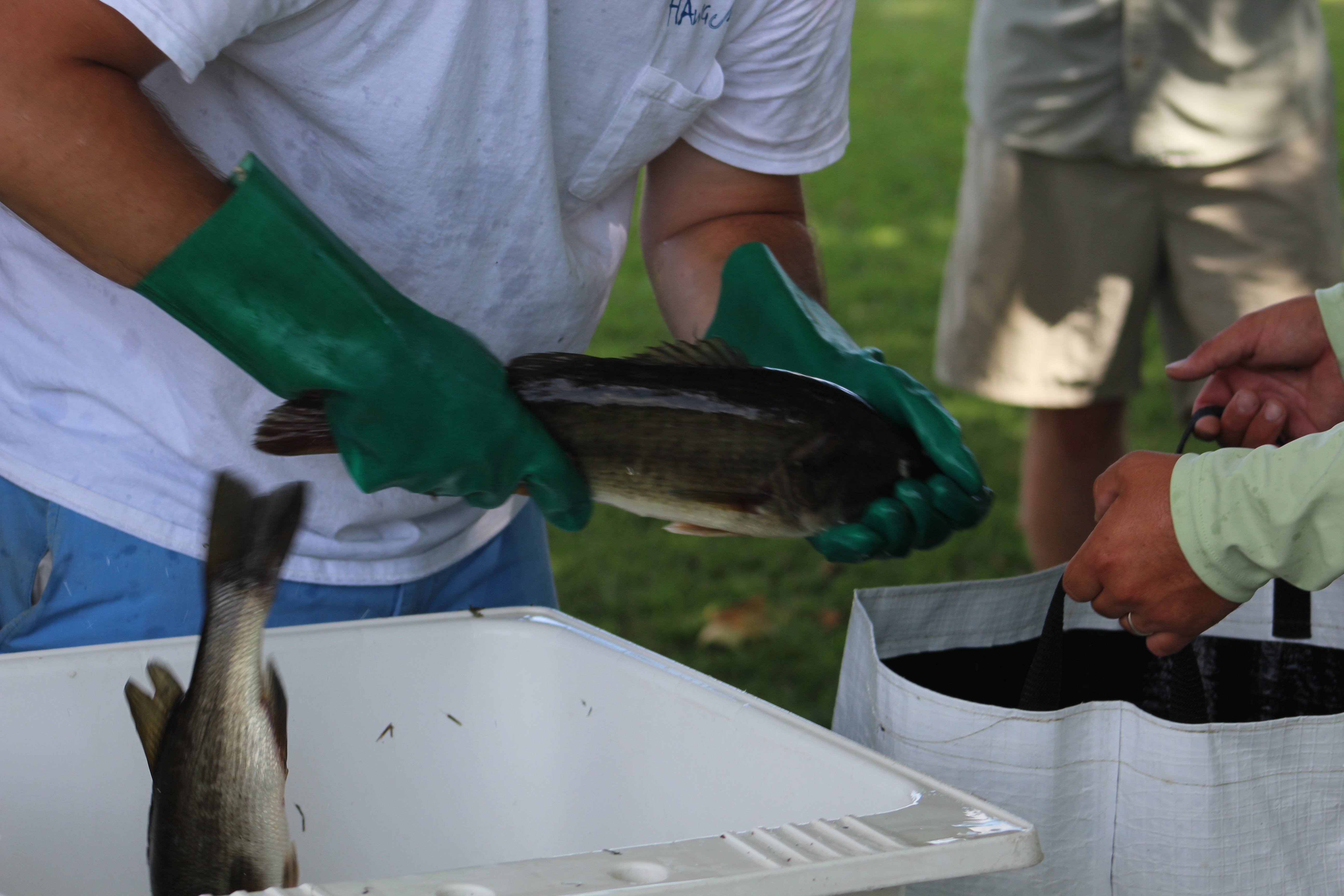
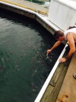
Once docked, the crew learned the fish weigh in was only a quarter mile down river so they walked down to observe the process. The tournament was sponsored by the Greenville Bass Club and had 60 boats participating in the tournament. From 3 to 3:30 the fisherman began bringing in the catch. Most boats had 5 bass with a total weight around 15 pounds.
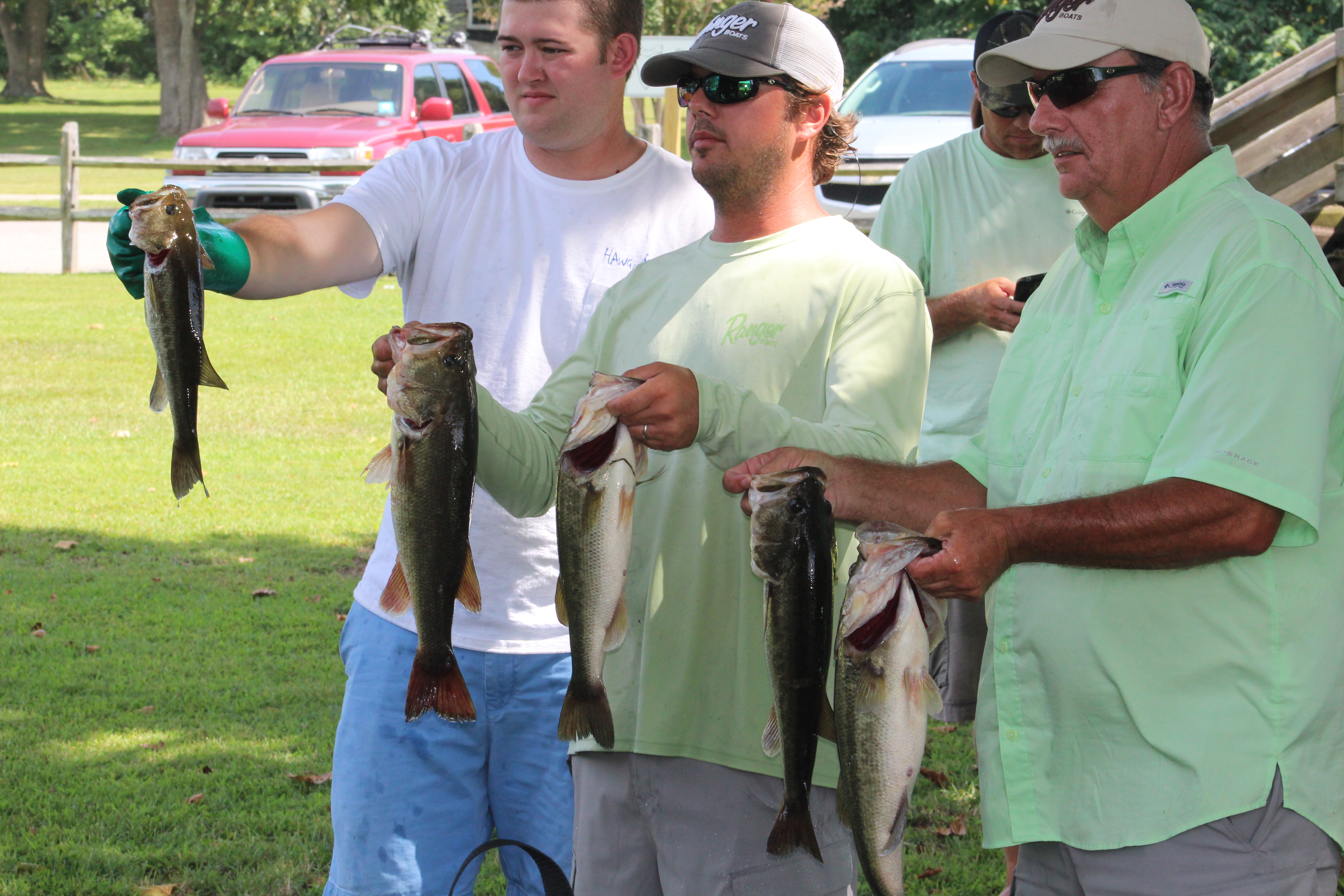
The big bass winner was 7 lbs 11 oz, and this team also won first prize for total weight of exactly 20 lbs. The hardest part of observing the weigh in was watching the fisherman go release the fish back in the river. Seems our skipper is a catch and release fisherman also, he just prefers to release fish into hot oil.
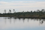
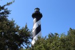
Just next to the marina is a replica of the Roanoke River Lighthouse. Remember the ‘real’ one is over in Edenton Harbor. Seems a little odd that the community on the Roanoke River has the replica and their rival town has the real deal. The skipper asked the Dock Master about the replica and got an ear full about the situation. Looks like the skipper stepped on a raw nerve with that question.
Plymouth, North Carolina has a rich 400 year heritage. Robert Lane was the first European in the area back in 1584. By 1680, people began settling in the area. The town of Plymouth was established in 1787 and by 1857 it was one of six major ports in North Carolina. The town was also one of two ports of entry in North Carolina so it had a Customs House on Water Street.
Due to the strategic location of Plymouth, the Civil War saw plenty of action in the area. The Union forces occupied the town early in the war. In April 1864 the confederates won their last major victory of the war by retaking the town. The CSS Albemarle was crucial in the victory by sinking the USS Southfield.
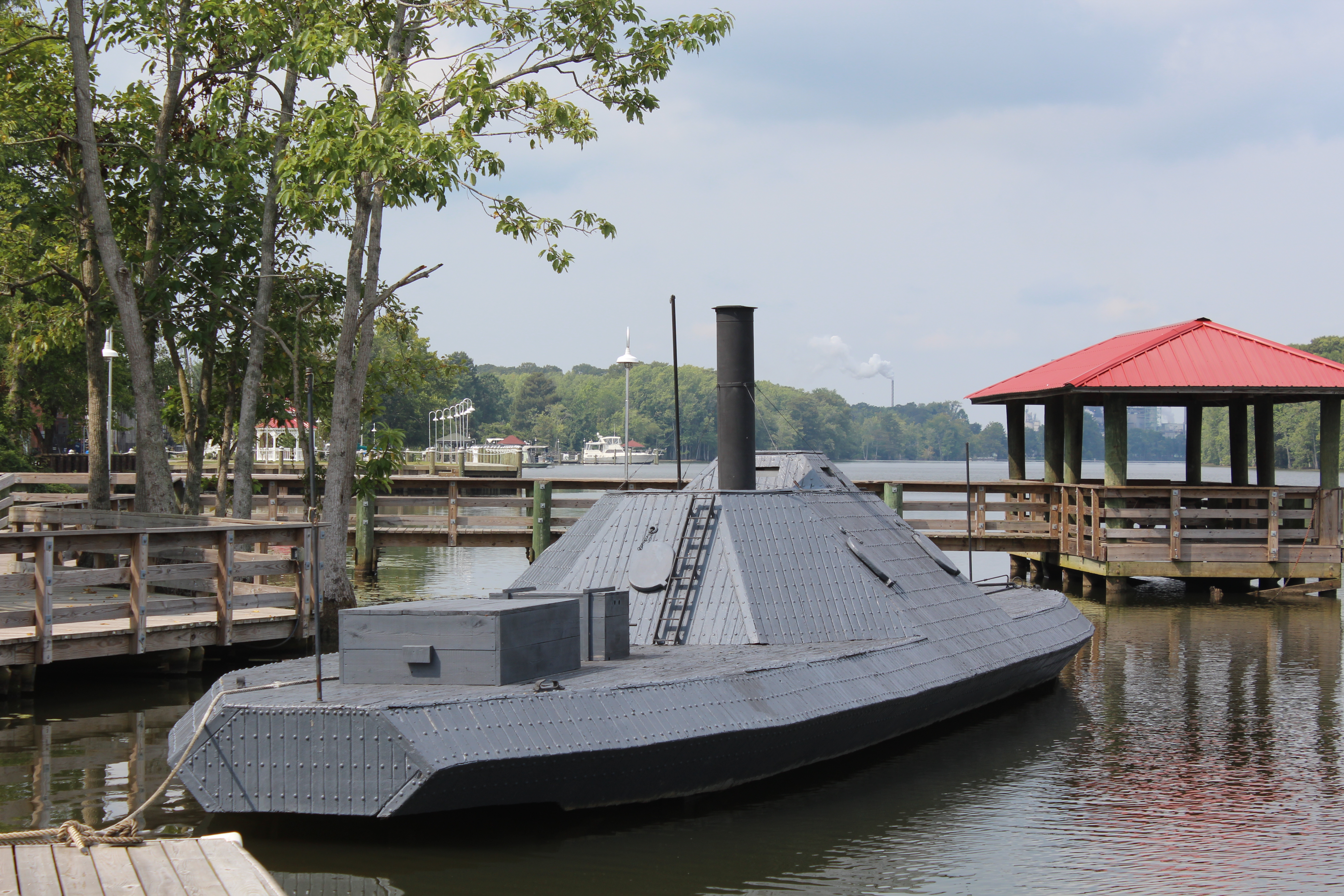
However, it was a short lived victory. In October of 1864, the CSS Albemarle was sunk and the Federal Army was able to retake the town.
The little town is working hard to revive its past to lure tourist to the area. The crew agrees with the Plymouth travel brochure that the area is a great place to come visit, relax, prop your feet up, soak up the history, and enjoy the natural experience.

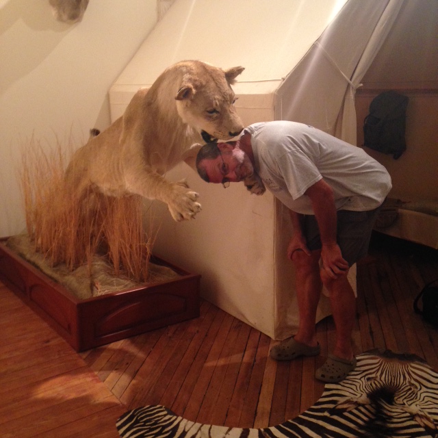
Speaking of natural experience, one unexpected find in the town was the God’s Creation Wildlife Museum. A business man in town has been hunting all over the world. He has some of his mounts on display. A lady in the office gave us a guided tour of each of the four galleries. This was a real treat and well worth the stop.
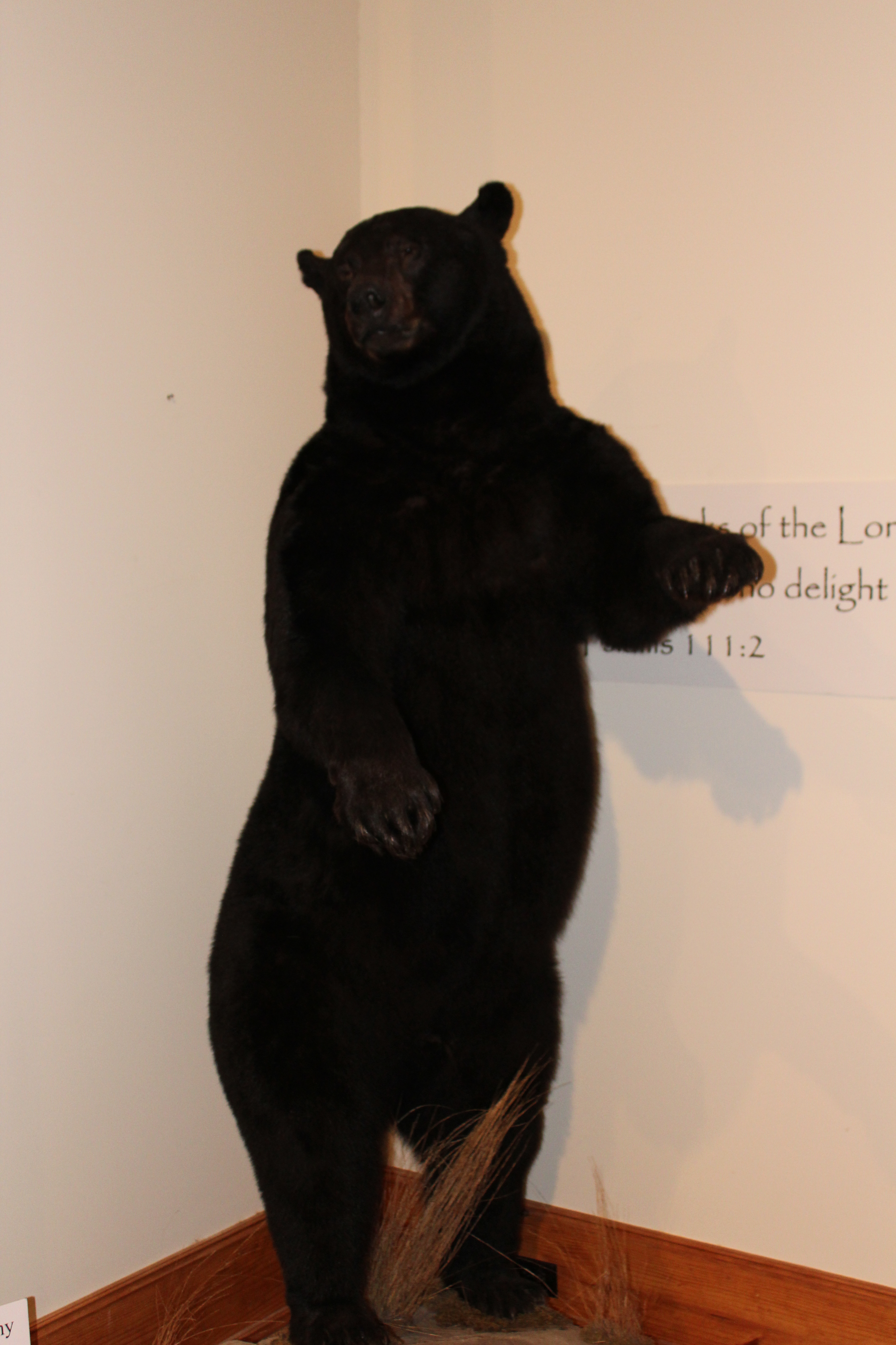
Go to WWW.wildlifemuseum.net for a virtual tour of the museum.
The only constant in this world seems to be change. Yes the crew has changed their plans again. They have met some other cruisers who have recommended a stop in Columbia, so the crew is adding the stop to the Albemarle Sound loop.
They called ahead on Tuesday, but the marina did not have a spot for them. Supposedly, a boat is leaving Wednesday morning from Columbia. If so, the crew will head over and check the little town out. Little is probably an overstatement. Last census in 2010 shows a population of 900 folks.
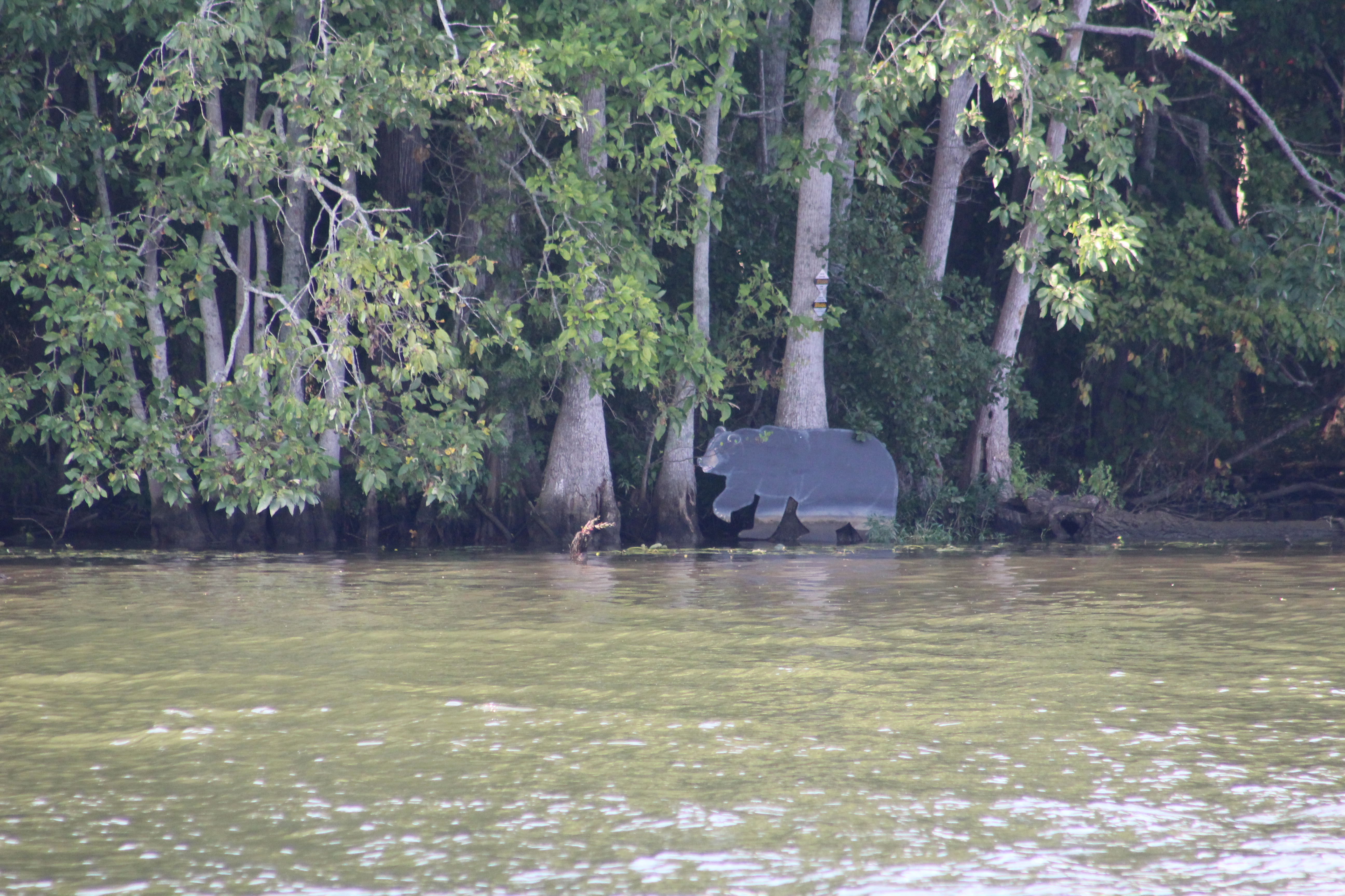
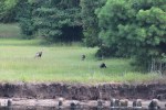
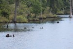
Local Factoid – The weather in the area does not get cold enough for the black bears to hibernate so they enjoy the local cornfields and other crops year round leading to the record sizes of bears in these woods.