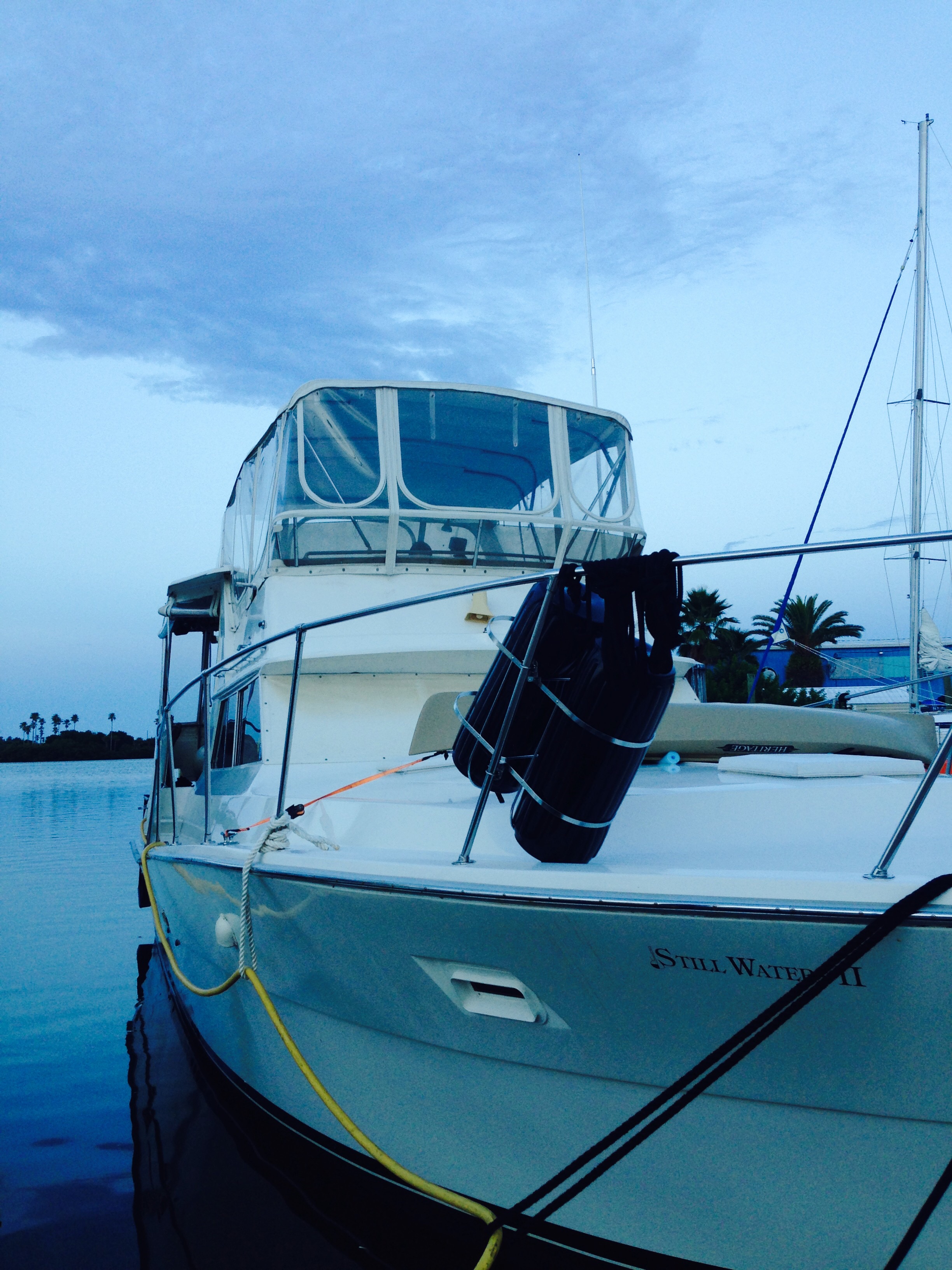
Hello fellow adventurers and virtual crew members!
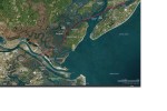
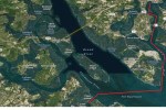
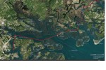
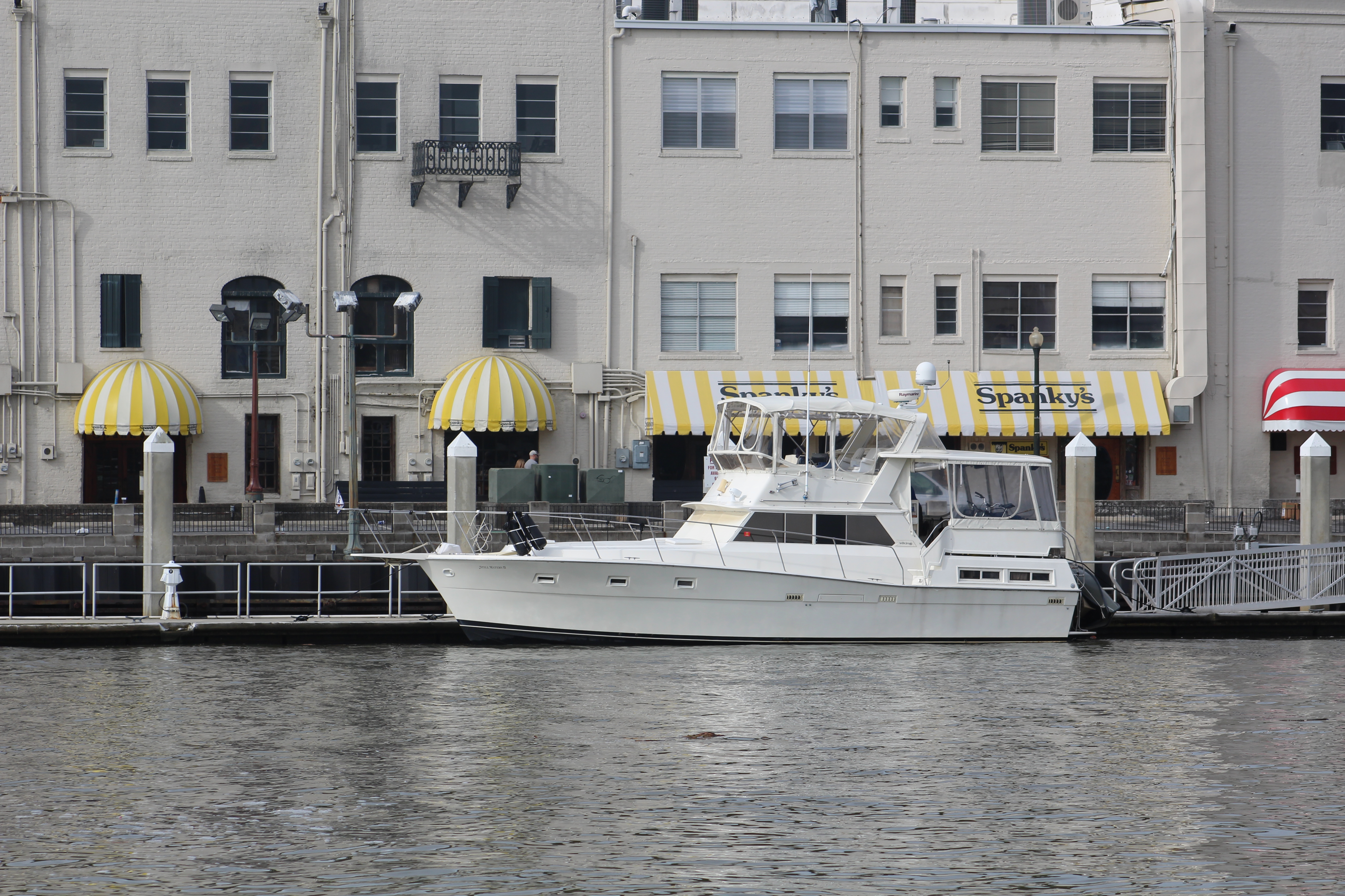
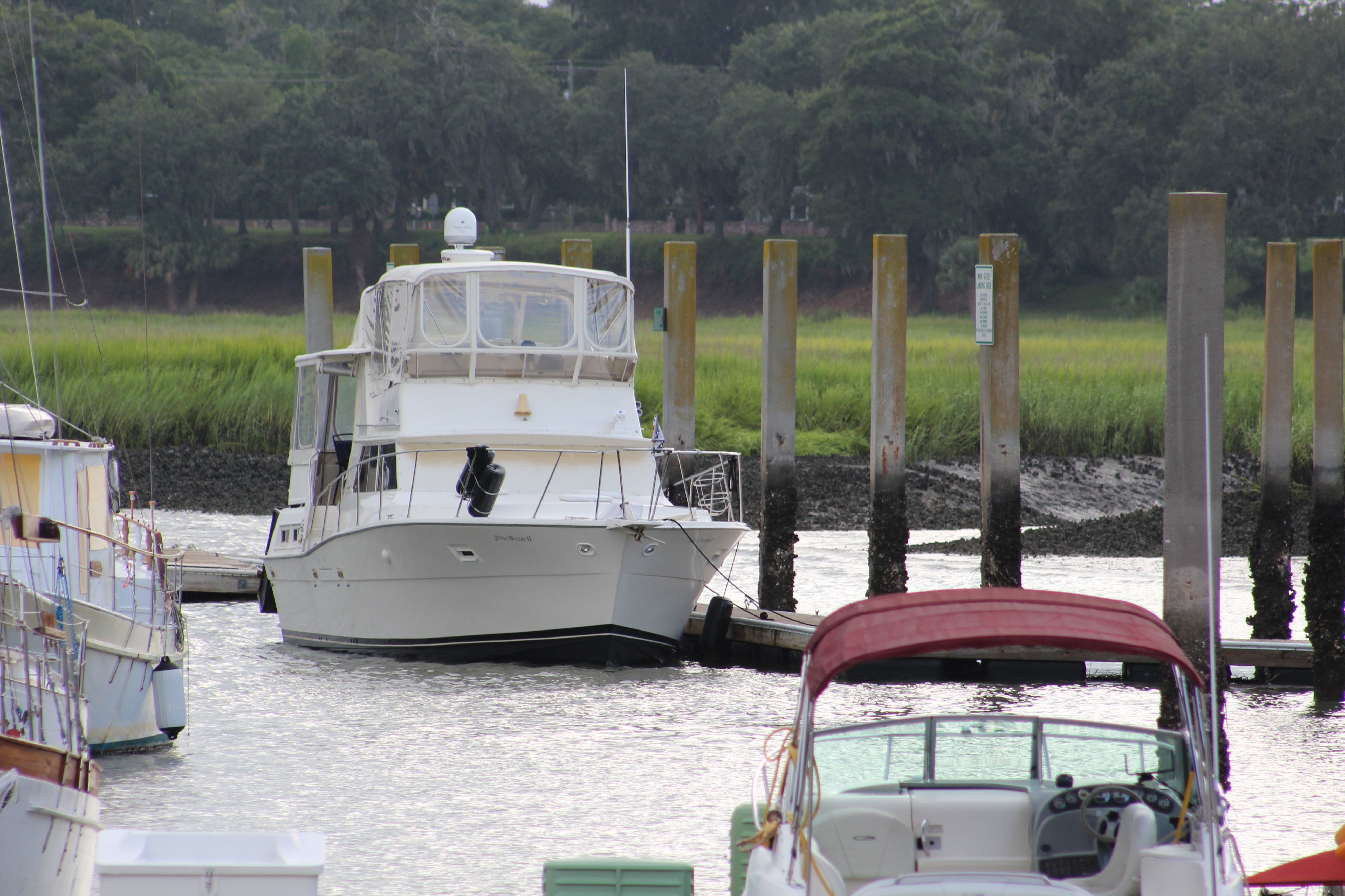
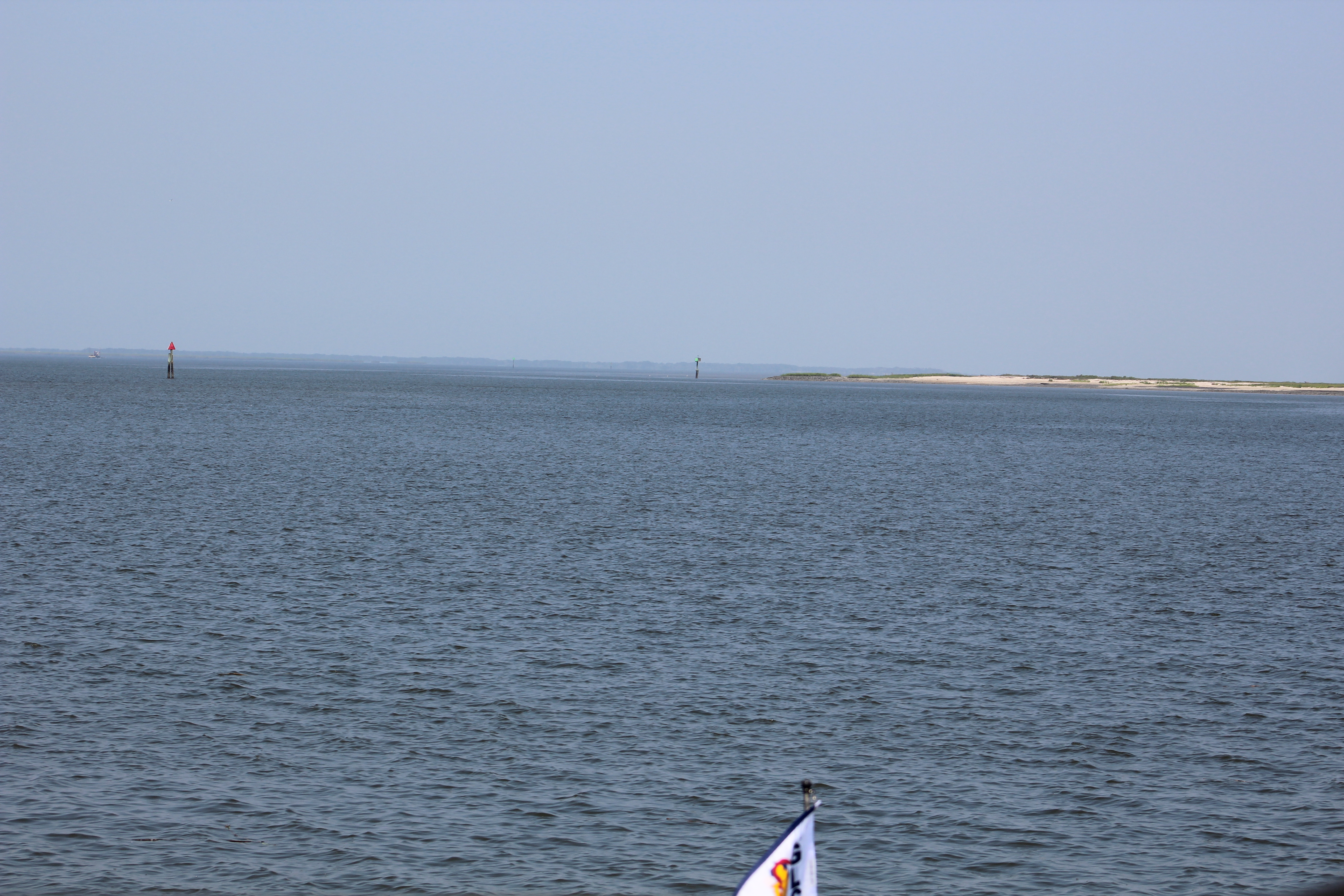
Eric here providing the latest update on Still Waters II, and crew. After seeing Jessica off on her trip back to Texas, the crew took a 2.5 hour cruise up to Cape Hatteras. On Saturday, it was all about being a tourist and sight-seeing. Then on Sunday it was a cruise back across the Pamlico Sound to the little town of Oriental. A one day layover in Oriental, and the crew will be back on the ICW headed to Norfolk, Virginia.
The Bad
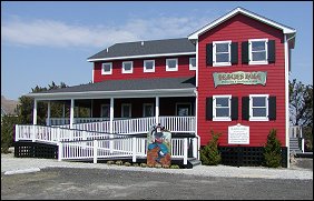
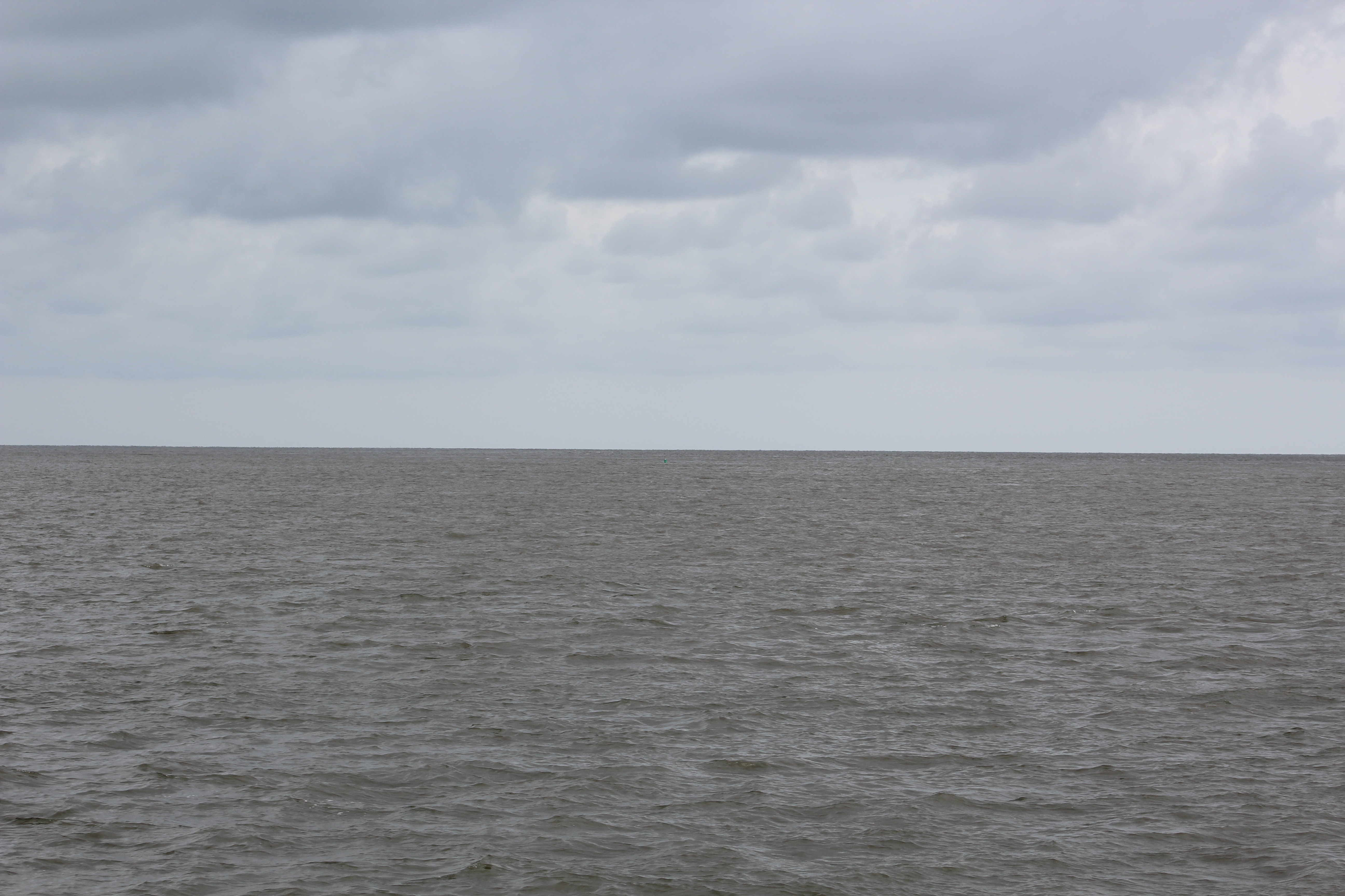
The ride to Cape Hatteras was much rougher than the trip to Ocracoke Island. The seas were a consistent 3-5 feet, with the occasional 7-8 foot waves. Lucky for the crew, it was only a short distance. They docked at the Hatteras Village Marina, which is more fishing camp than marina. The docking was a bit challenging though.
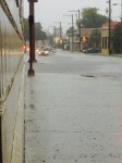
The wind was blowing unobstructed right down the marina. When the skipper turned the vessel towards the slip to back in, the wind immediately broad sided the boat and pushed her out of the area to get into the slip. After 2 tries, the marina took pity on the skipper and allowed him to pull into a wider slip which made for easier dockage. The skipper made it into the new slip on the first try. After getting the boat secured, water, and electrical hook-ups completed, the crew strolled around the village to see the sites.
The Good
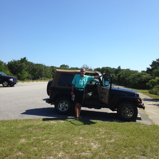
On Saturday, August 15th, the crew rented a Jeep from Island Cruisers and spent the day exploring the Outer Banks (OBX) as the locals refer to the area.
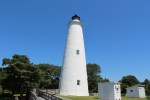
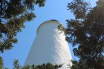
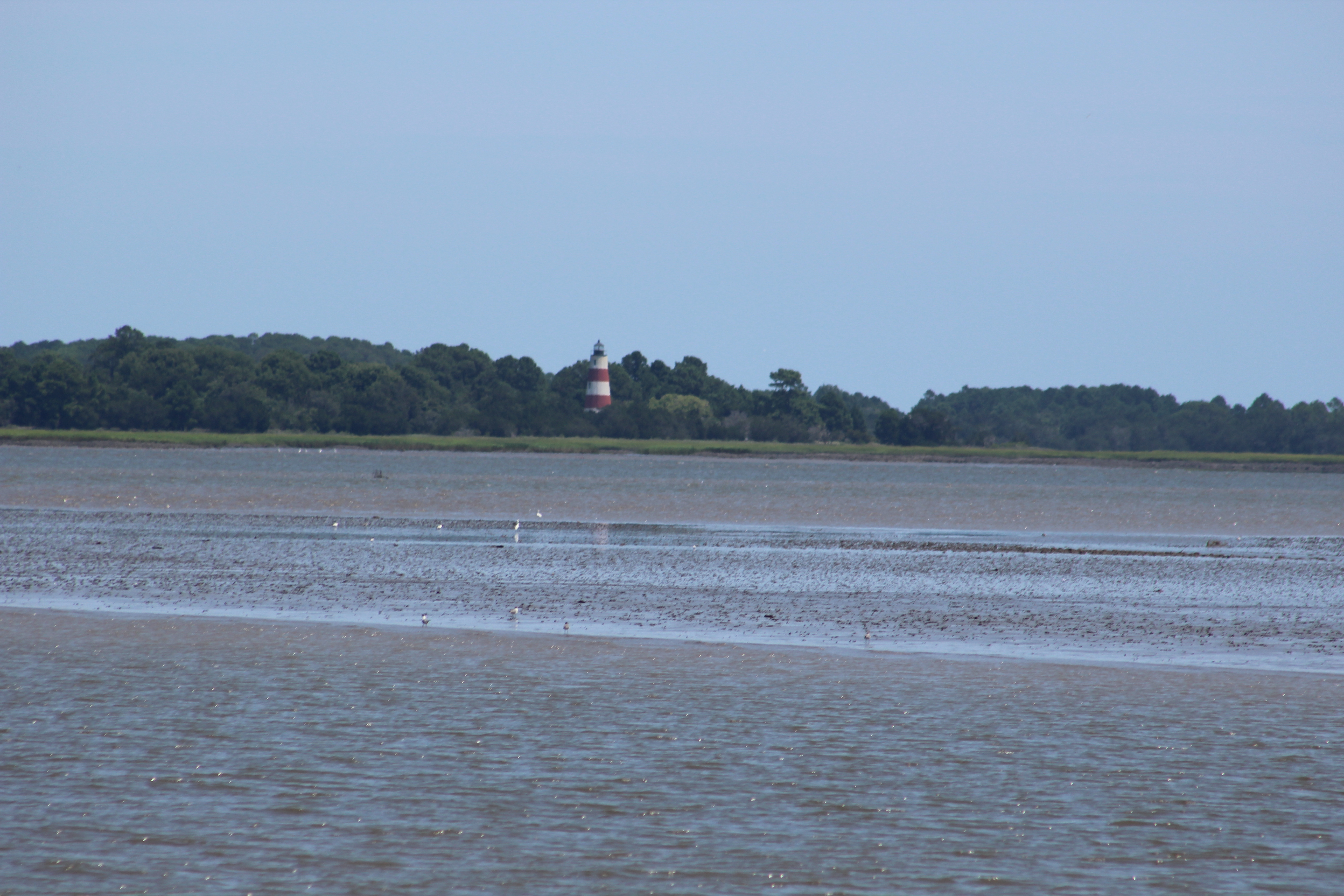
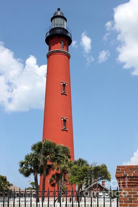
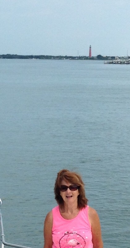
Cape Hatteras Lighthouse
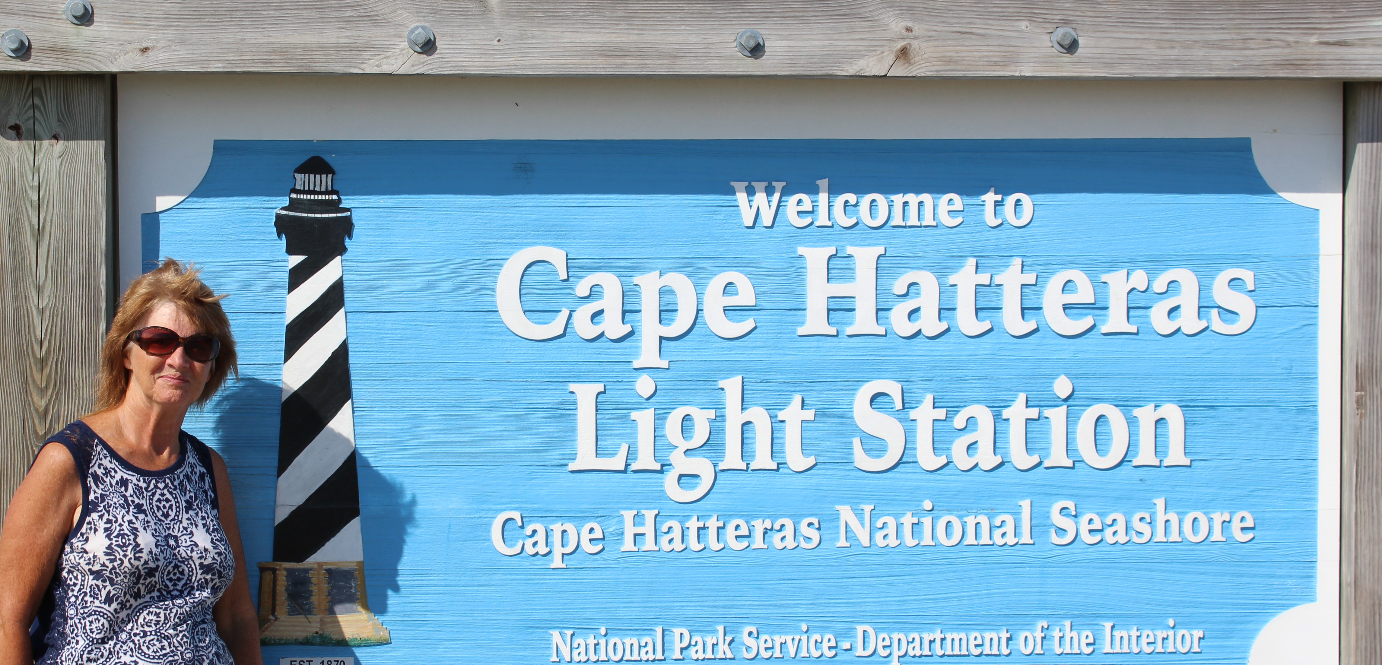
This lighthouse has probably become the most famous in the nation since the civil engineering marvel of moving the lighthouse back in 1999. The lighthouse was built back in 1870 and is the second tallest lighthouse in the world.
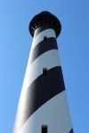
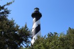
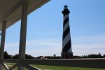
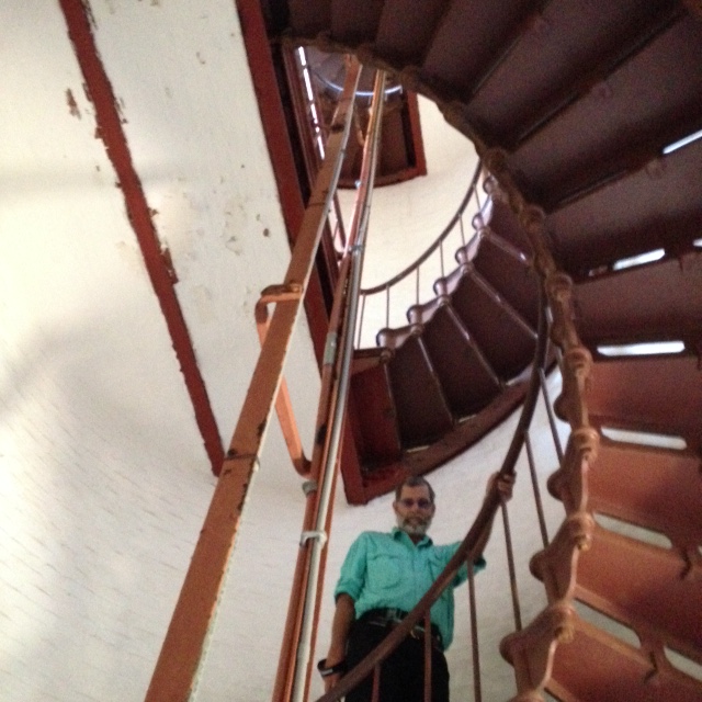
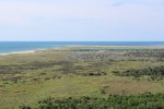
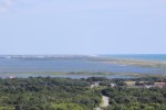
However, it is the tallest brick lighthouse at 198.5 feet. There are 248 steps to the top of the lighthouse (about a 12 story Building), split up into 8 sections with 31 steps. After each 31 steps there is a landing. There were also 9 steps from the outside to get to the ground floor of the lighthouse. Grand total of 257 steps. The day was bright, so visibility was excellent from the balcony.
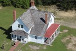
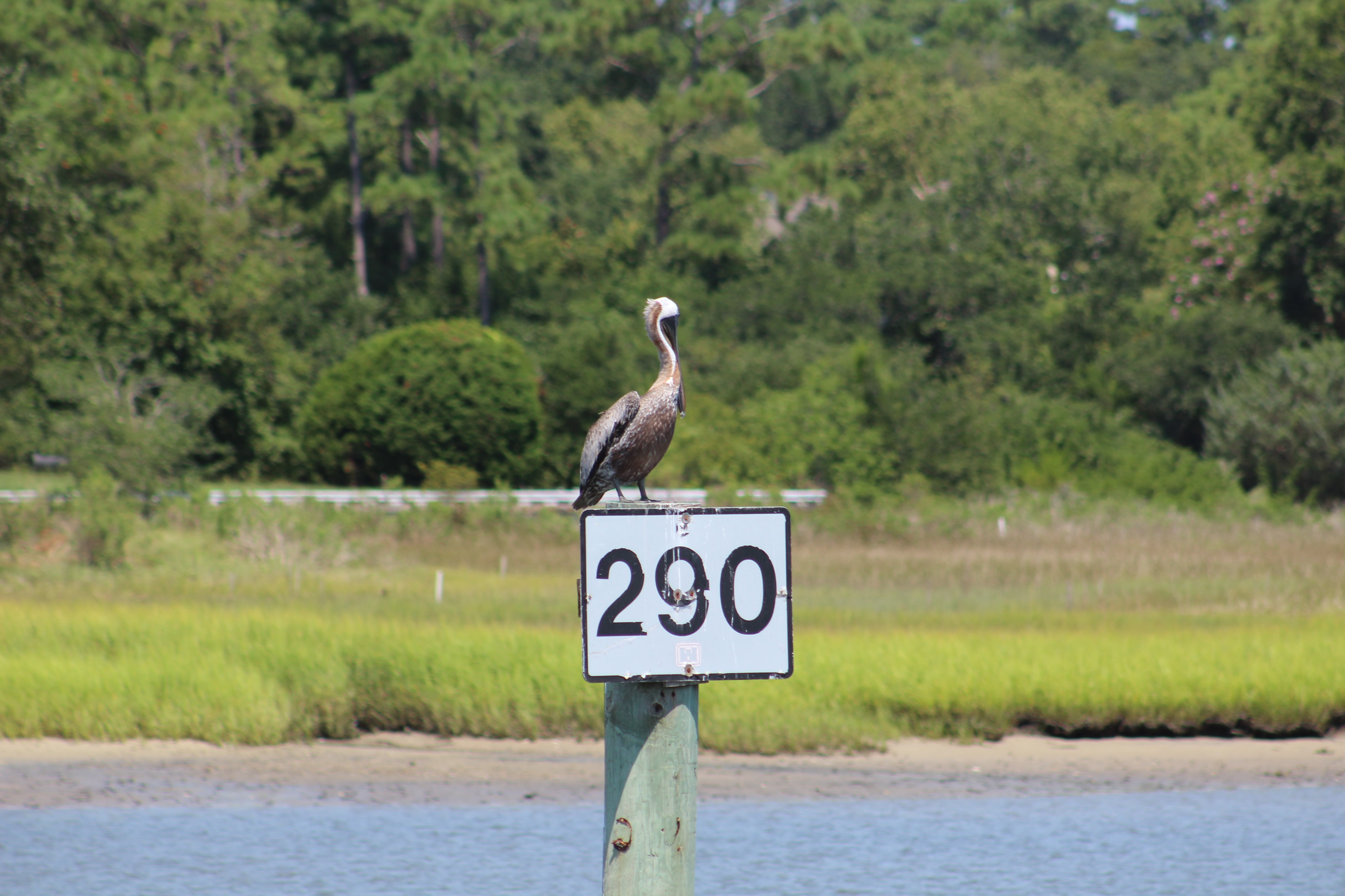
Rufuge Visitor Center at Pea Island
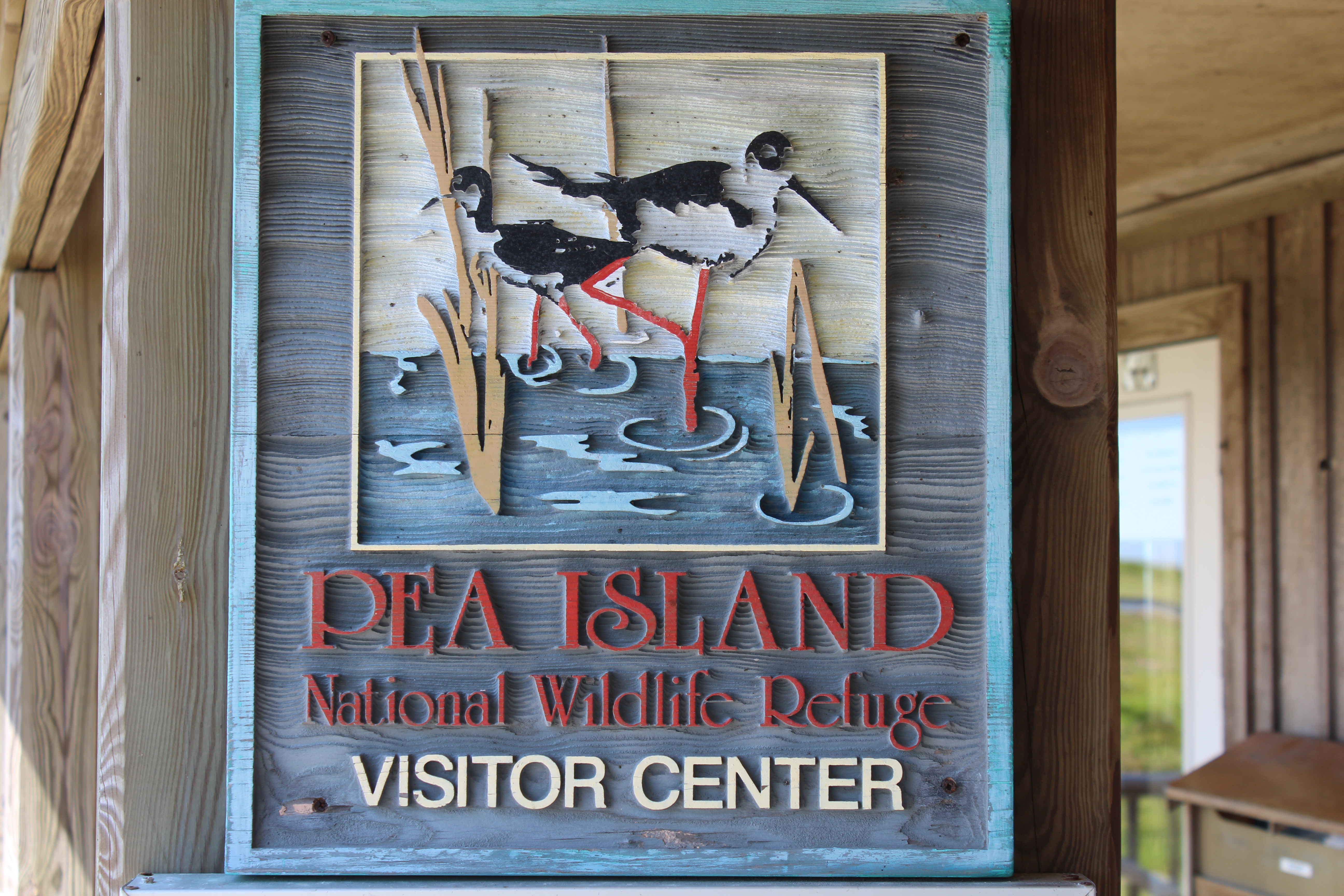
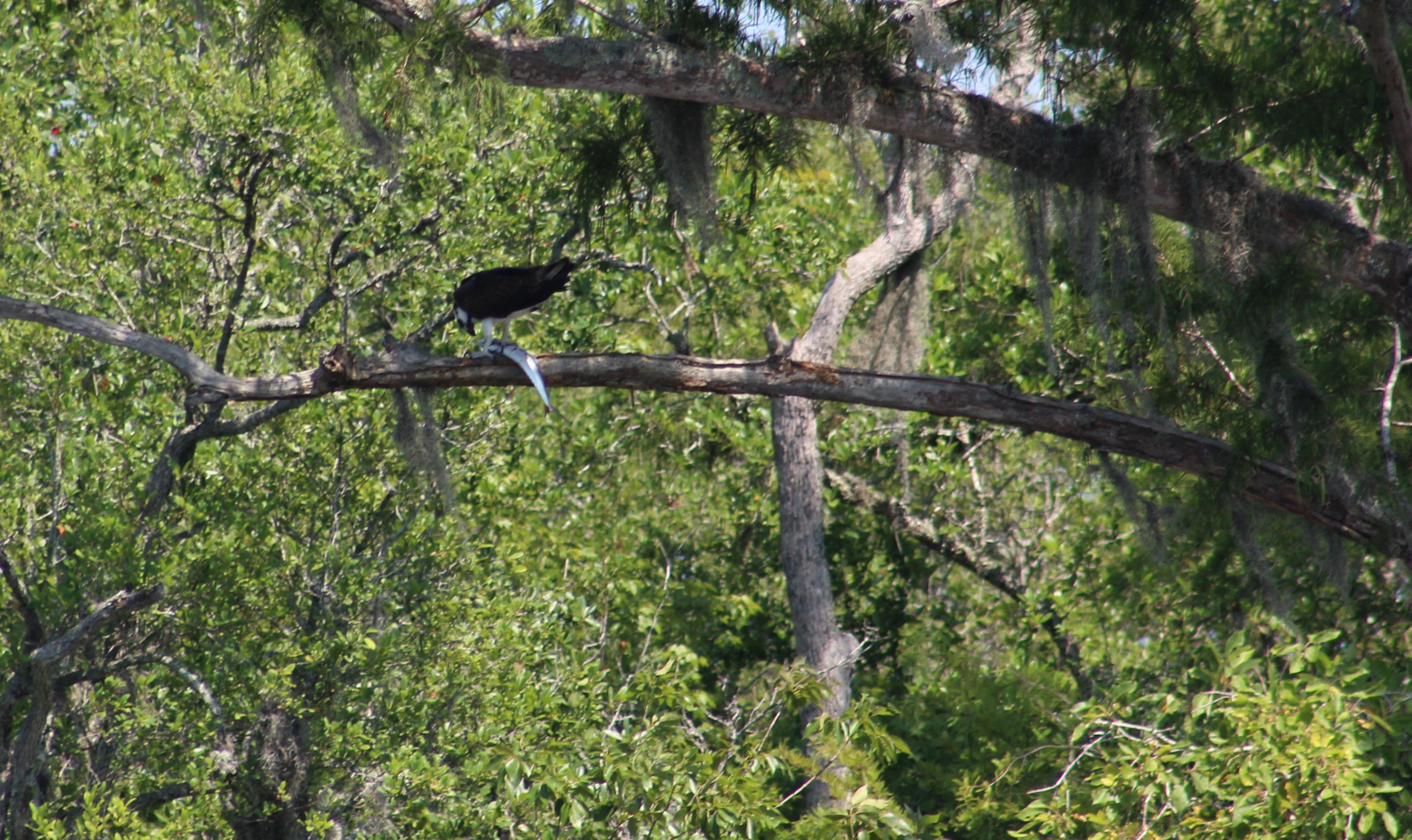
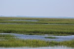
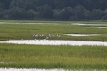
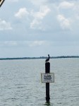
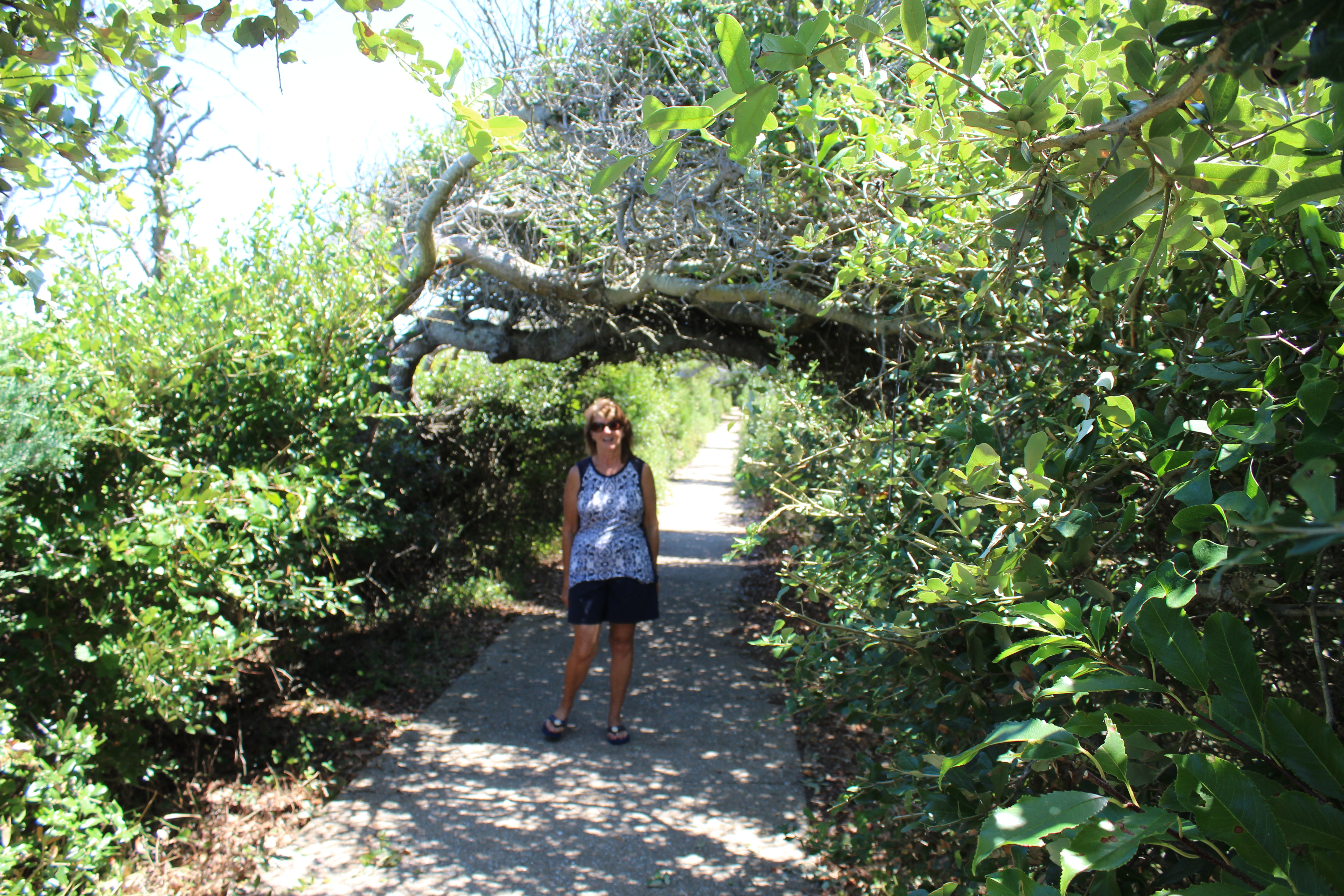
This was an interesting stop. The visitor center sits beside some natural fresh water ponds. Because of the fresh water, the ponds attract hundreds of birds. The visitor center and trail had several telescopes set up for bird viewing.
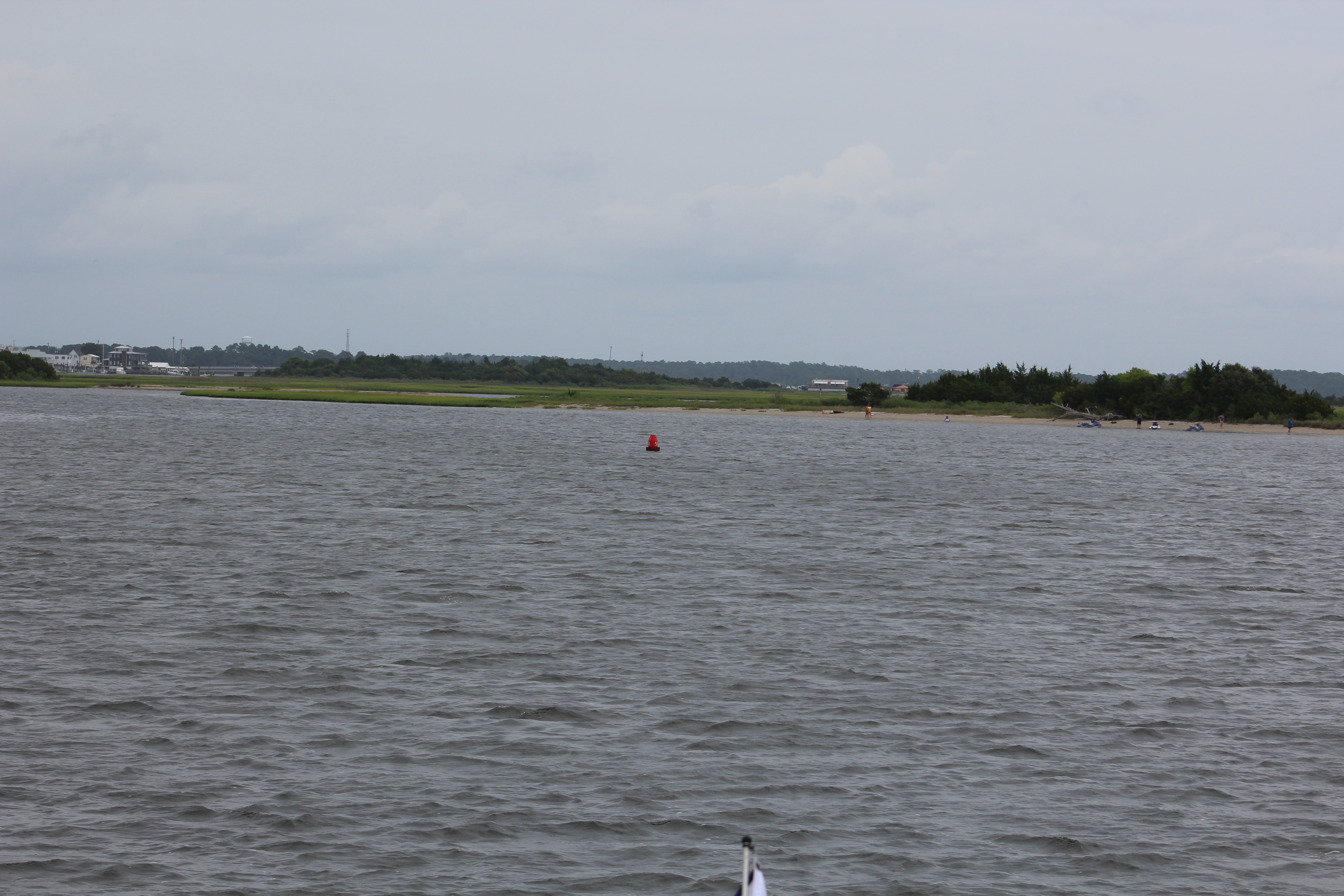
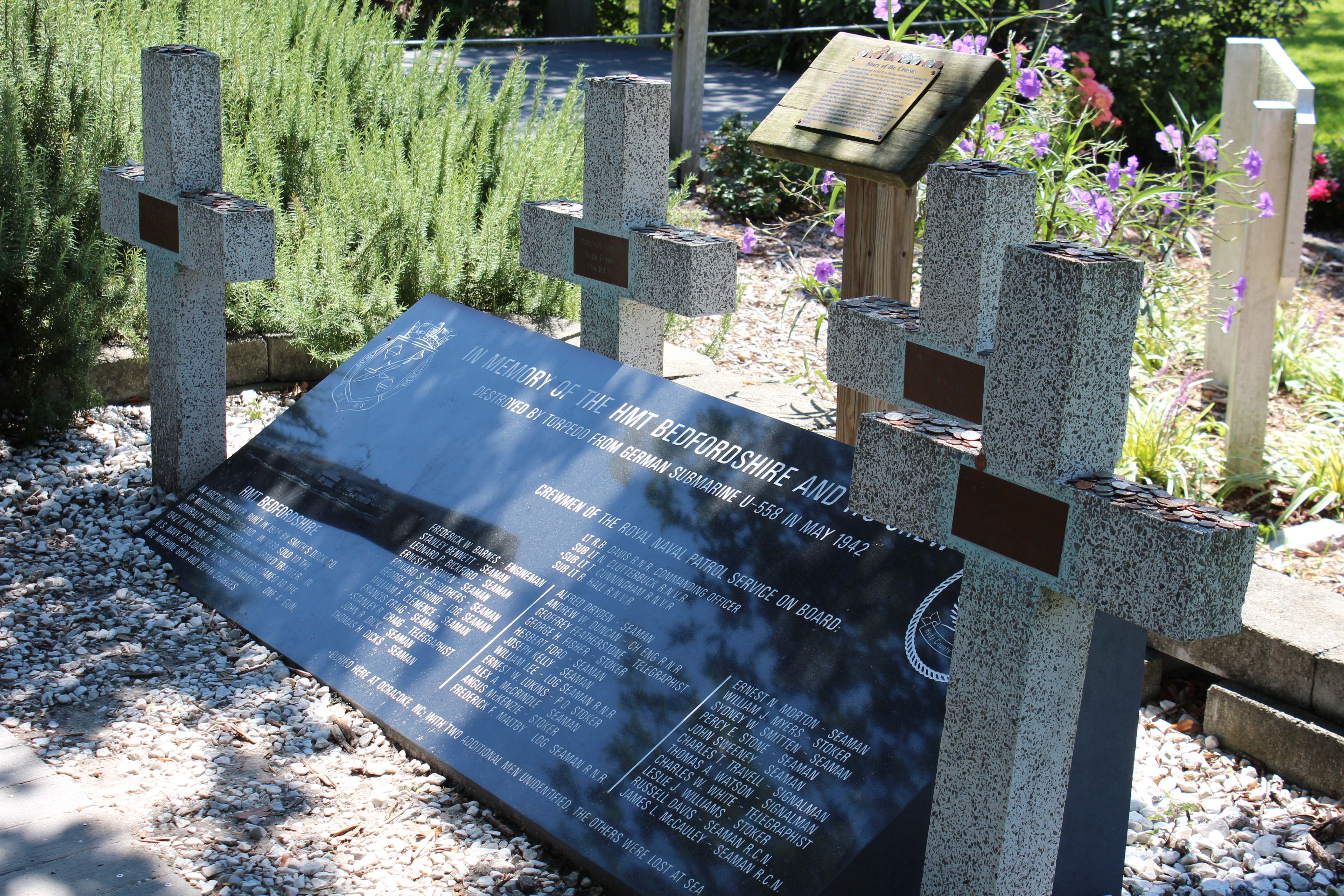
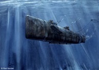
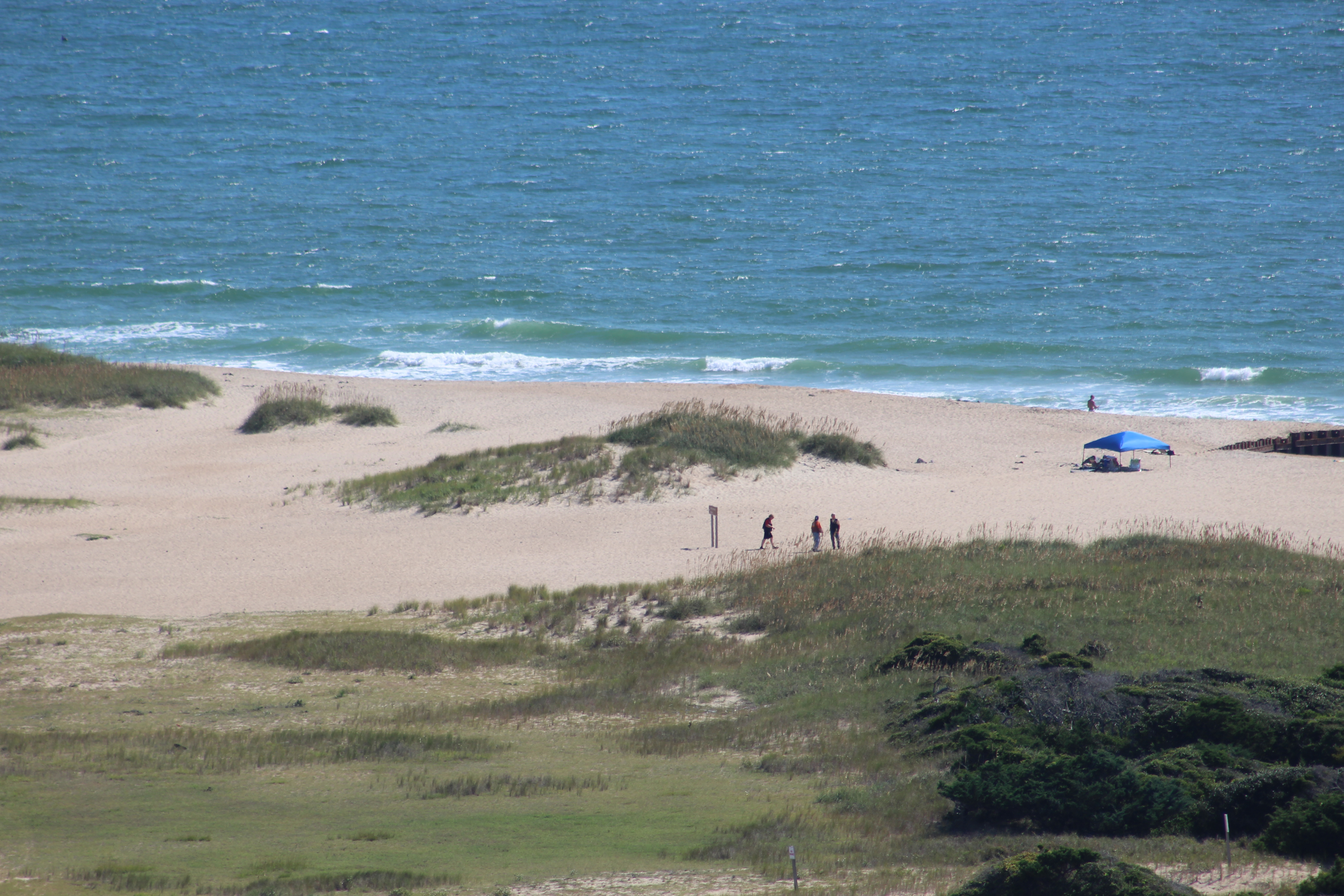
Across the road from the visitor center, a ship wreck is visible just off of the beach. Our crew took the time to go look at the shipwreck and pick up a few sea shells.
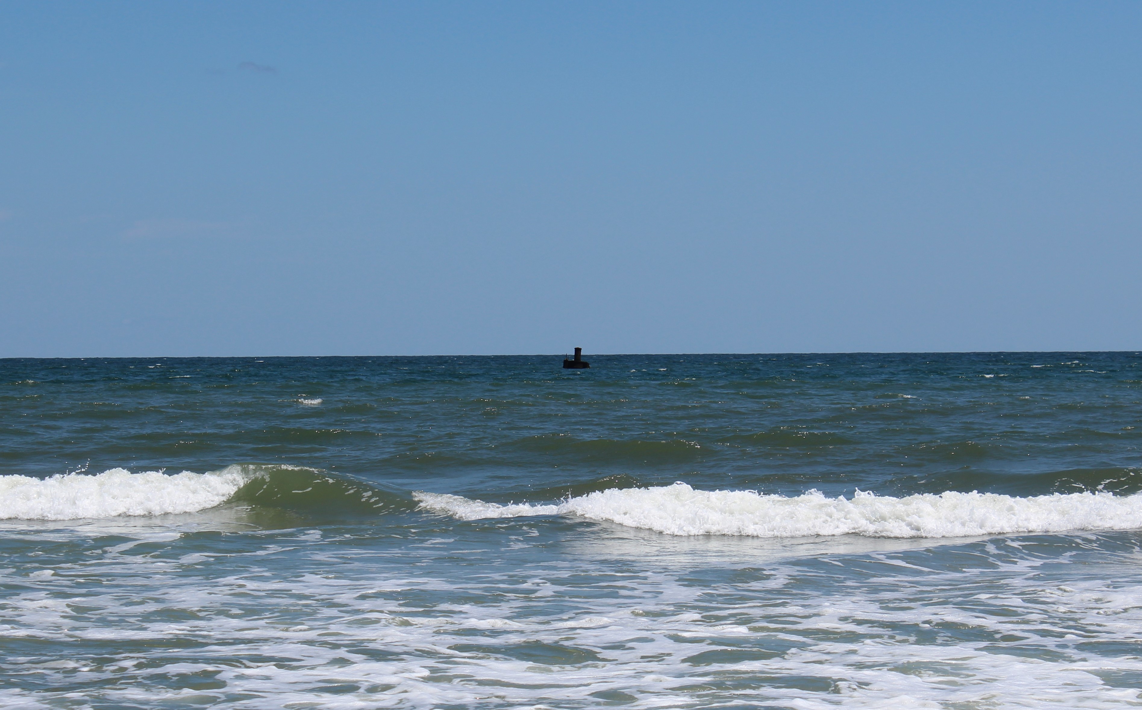
This area is called the Graveyard to the Atlantic due to the number of shipwrecks just off of the coast. About 600 wrecks are here due to shallow shoals, storms, and war.
Another interesting bit of info comes from the name of the Island. The birds eat a little pea that grows in the bushes in the marsh. The peas are not eatable by humans, and if you try to plant them in a planter the plant will die. Seems the plant needs the shifting sand around their roots to survive.

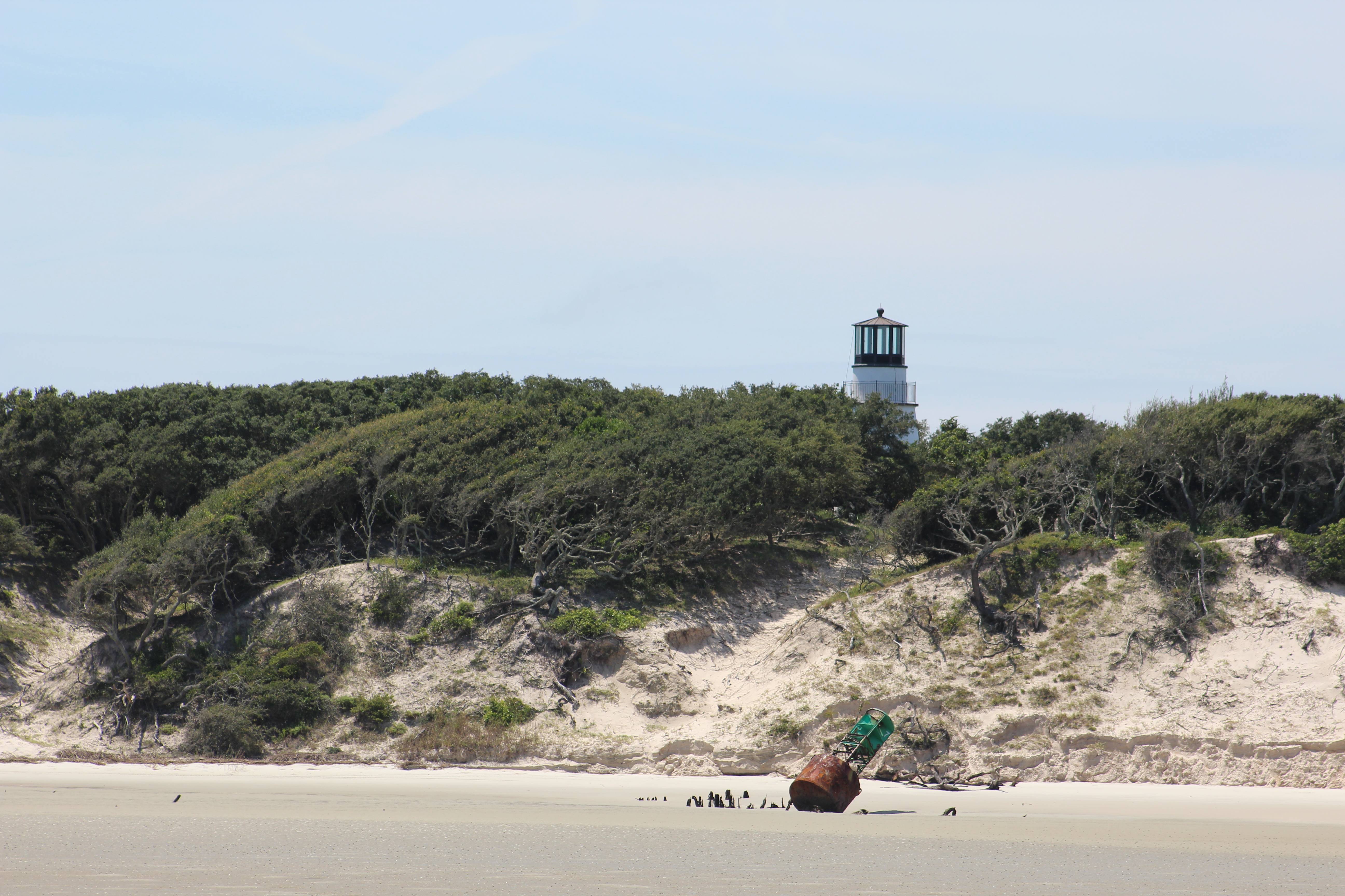
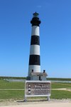
Bodie Island Lighthouse
This lighthouse was just over 200 steps to the top (10 story building) with 9 landings. Again, the view was spectacular from the top.

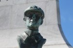
Wright Brothers National Memorial
This was a really cool site to visit. The birth place of the aviation industry.
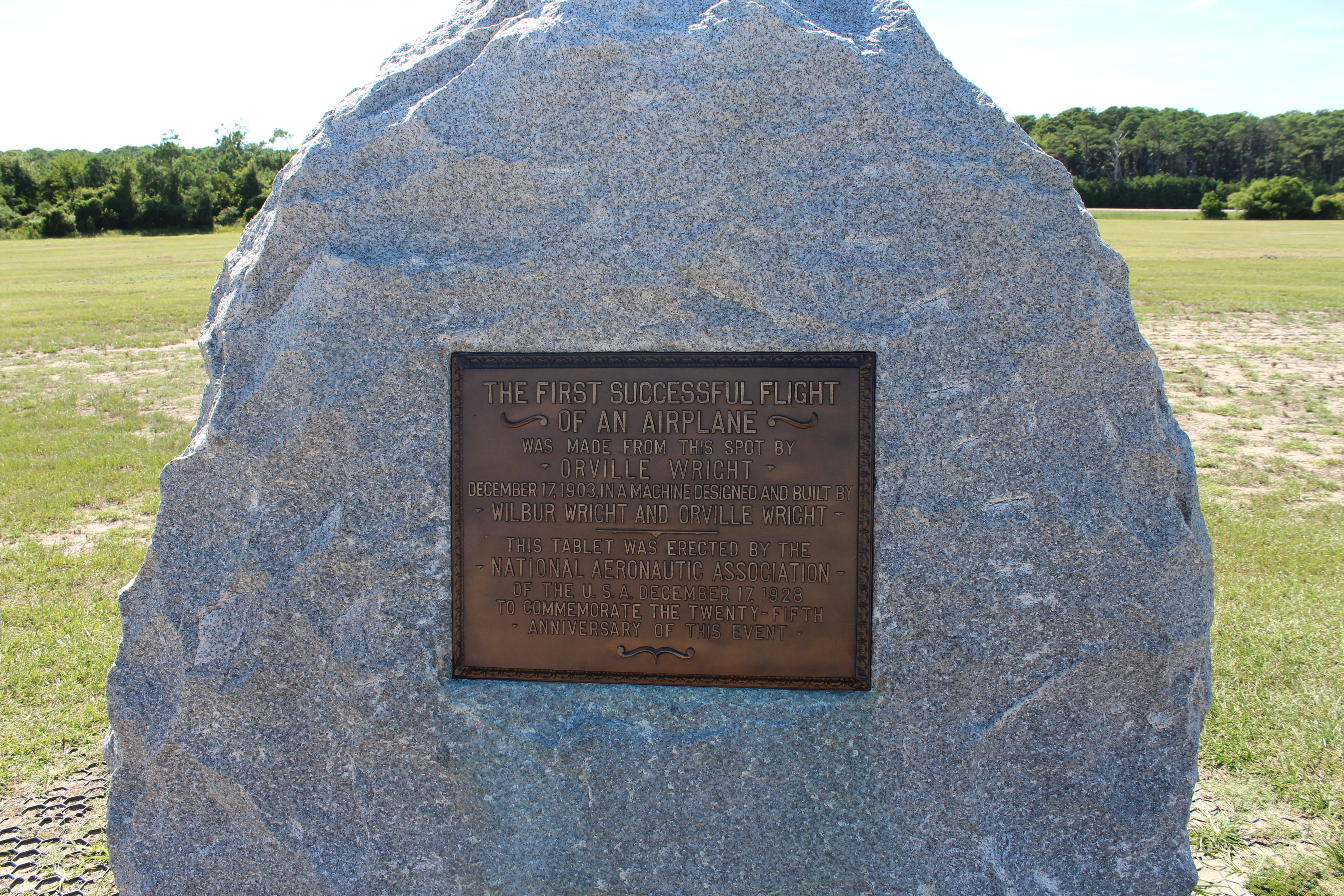
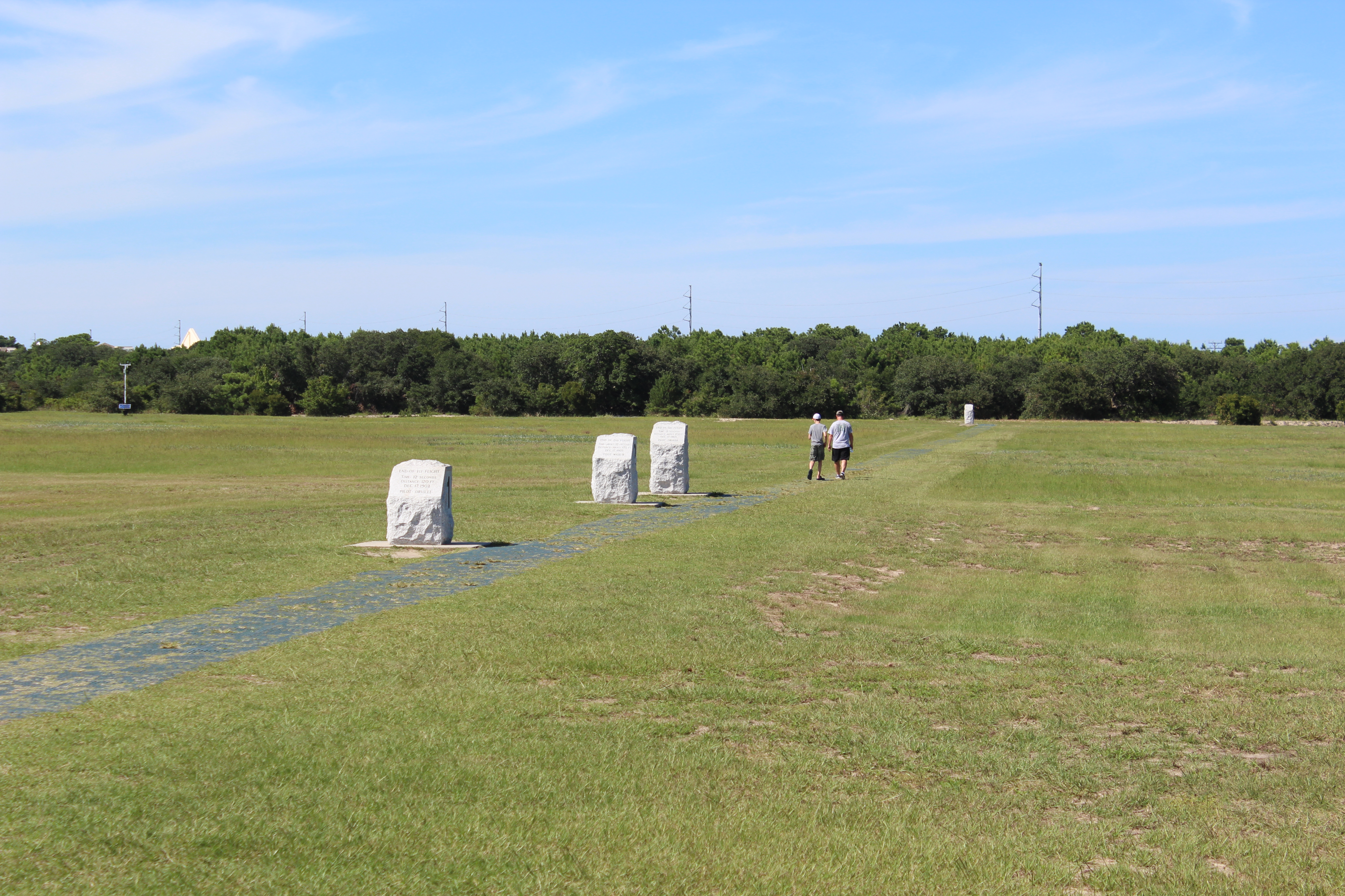
There is a large boulder placed where the first powered plane took off. The brothers made 4 flights on December 17, 1903. There is a marker showing the distance of each of the 4 flights.
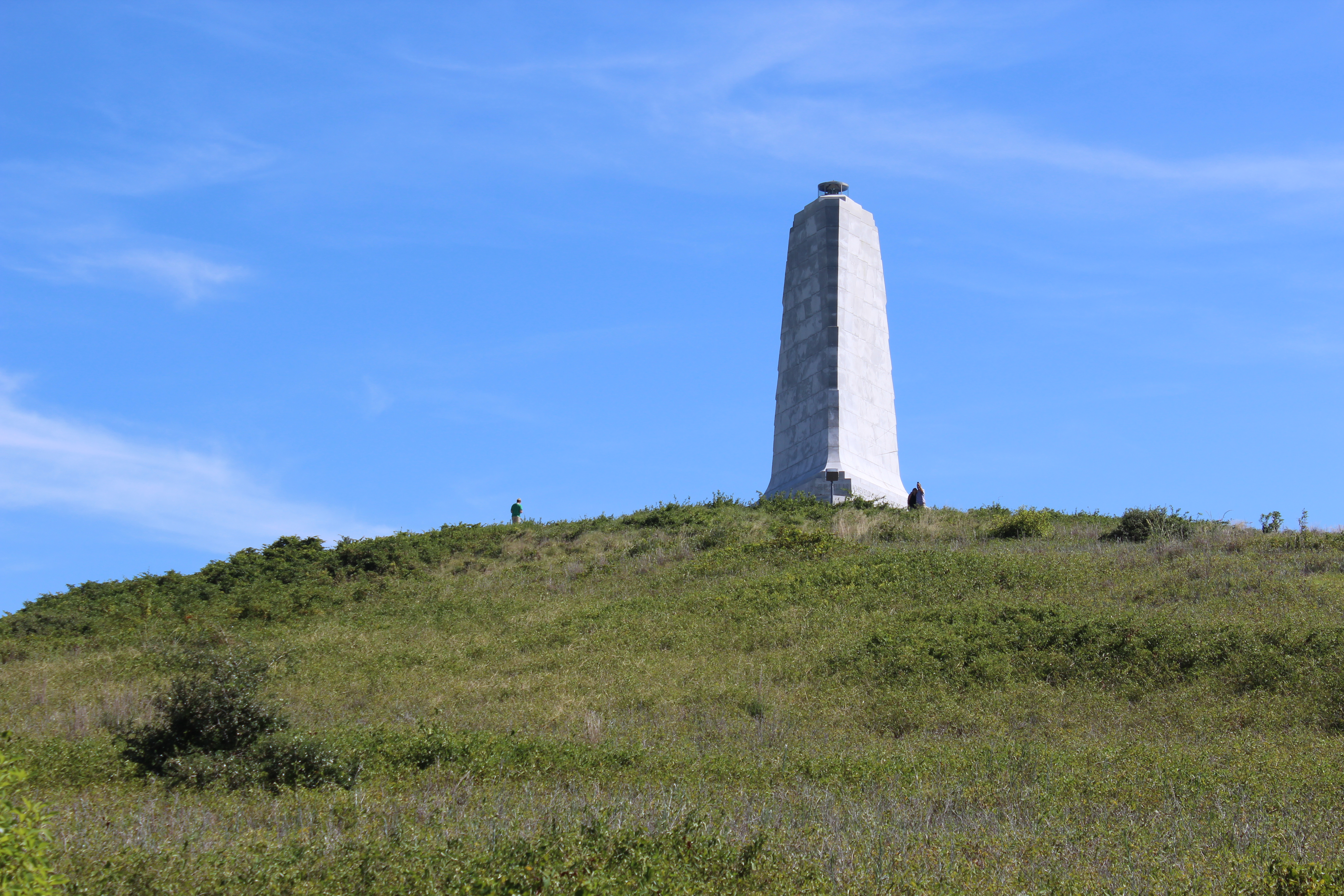
To make it to the point of powered flight, the brothers flew thousands of glider flights off of Kill Devil Hill in 1900 and 1901. At the top of the hill, there is a monument to the brother’s achievements. Back in the day, the brothers had to carry the glider up the sand dune. Luckily they have planted grass and built a sidewalk to make the climb easy for visitors.

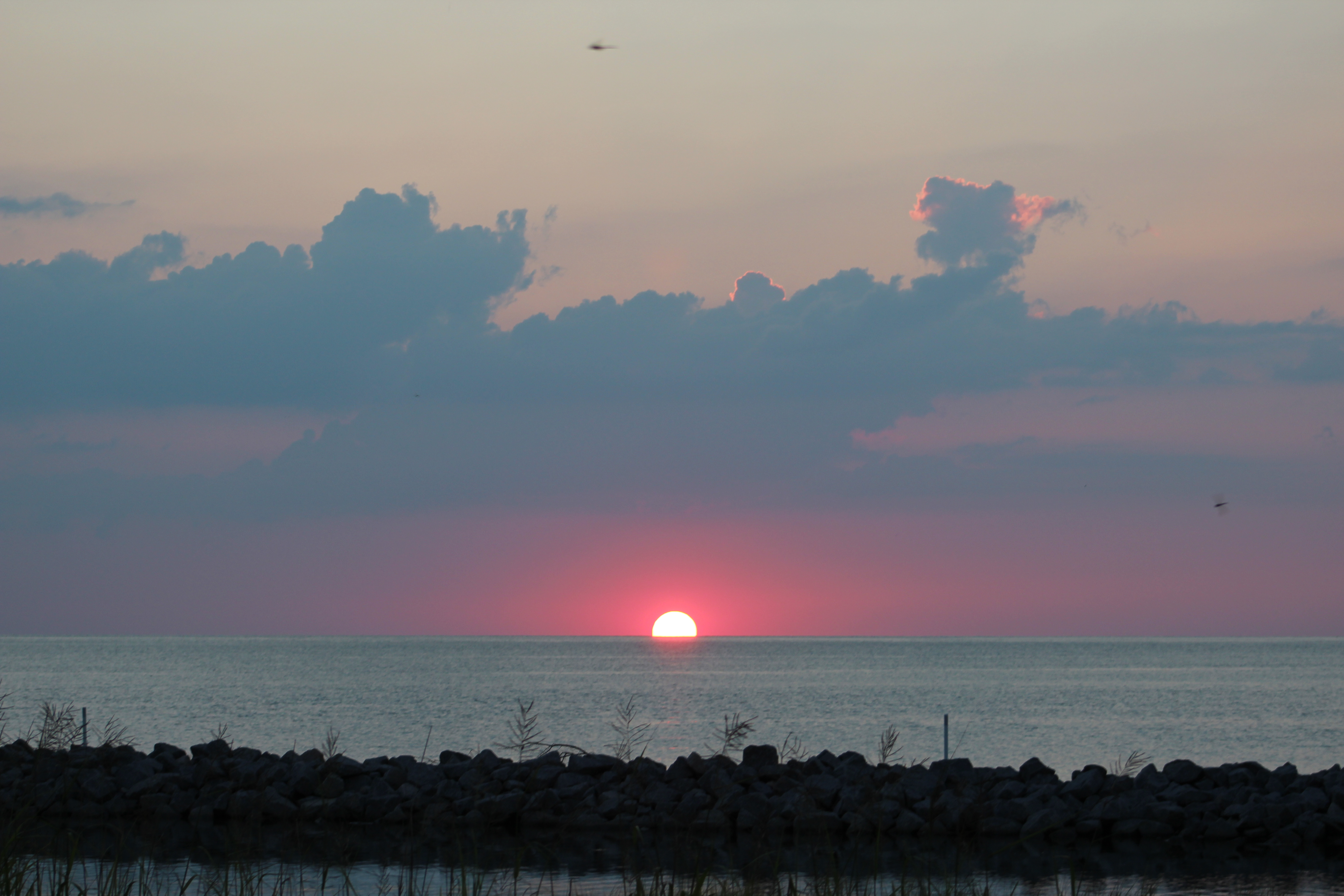
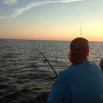
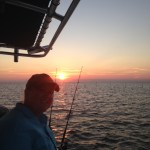
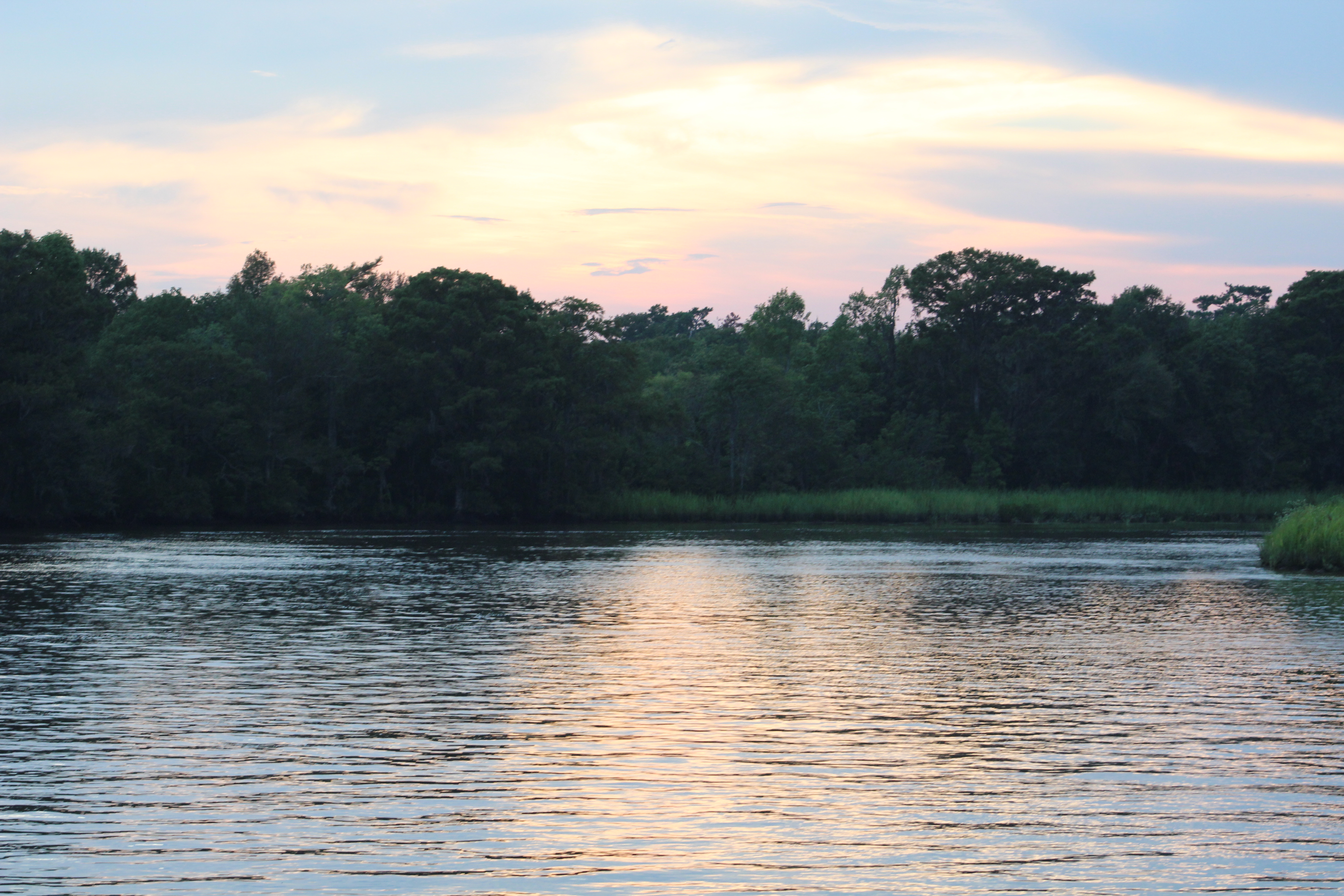
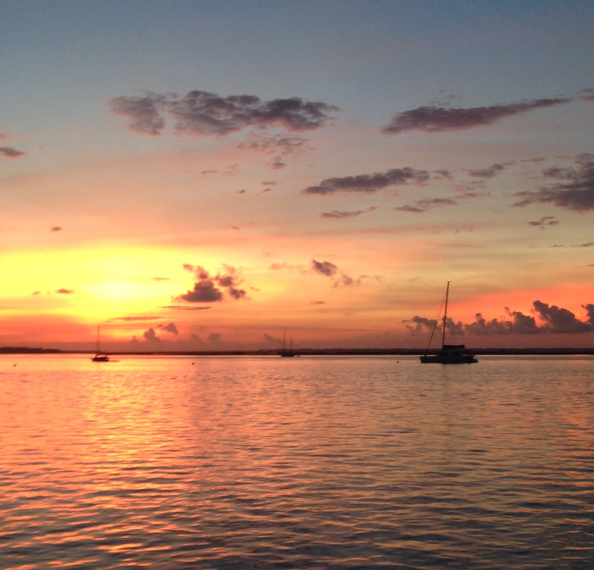
With the major sightseeing complete, it was time to take advantage of the vehicle and provision in the Jeep. A stop at a local store was in order and groceries were bought. Then a few more stops to shop, and the crew finally returned to the marina at sunset.
The Ugly
On Sunday morning, the crew departed Hatteras Village Marina at 0930. Before leaving the skipper had noticed that the port-a-bote was not secured properly. Looked like the trip on Friday must have pulled the dingy off of one of the davits holding her to Still Waters II. The skipper made some temporary repairs and got the dingy mounted the best he could. However, his best was not good enough.
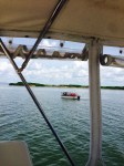
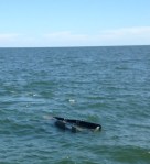
About thirty minutes after leaving port, the skipper heard a loud banging noise. He turned and looked aft and he saw the dingy had fallen into the water. The dingy was secured at the bow and stern but was plowing sideways through the water.
He idled the engines and called the mate up to the helm so he could go get a closer look at the problem. As the mate ensured the wind did not blow them into shallow water, he noticed that all the seats and oars were missing from the dingy.
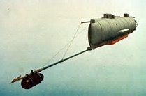
The skipper untied the line holding the stern of the dingy. This got the dingy floating behind the mother ship, albeit full of water. One of the things Port-a-bote advertises is that the boat is unsinkable. Well, with the boat full of water and the skipper standing in the middle of the boat, it did not sink.

With the bow line attached to the center of Still Waters II stern, the crew tried towing the dingy at slow speed, but she flipped upside down rather than ride on the keel. So it was time to try to get the dingy out of the water and on deck. This seemed like a good idea, but turned out to be much harder than anticipated.
The first plan was to unscrew the 2 wing nuts on the transom and try to collapse/fold the boat and pull it onboard. The skipper put on his lifejacket and climbed down to the swim platform. Unscrewing the wing nuts proved near impossible. While the skipper was seated on the swim platform he would barely reach the nuts. When a wave would come, he floated out of reach of the nuts. It took a while to get in rhythm with the waves, but finally success was achieved.
The next obstacle was to try and fold the boat and pull her onboard. That did turn out to be impossible. The skipper was knocked off the swim platform twice during this little evolution and getting back on was no easy matter. The bumps and bruises will remind him of this for a while.
After losing the line to the boat 3 times and having to circle around to recapture the line it was time for a break and re-analysis of the problem. If they could have sunk the dingy it would be on the bottom of Pamlico Sound, but as advertise it just will not sink.
A new plan was hatched to use the anchor chain to help lift the boat up on deck. The skipper maneuvered the dingy to the bow, dropped the anchor, and attached the dingy to the anchor chain. When the anchor was raised the bow of the dingy came up and emptied the dingy of water. Now the crew worked together and managed to pull the dingy up on deck.
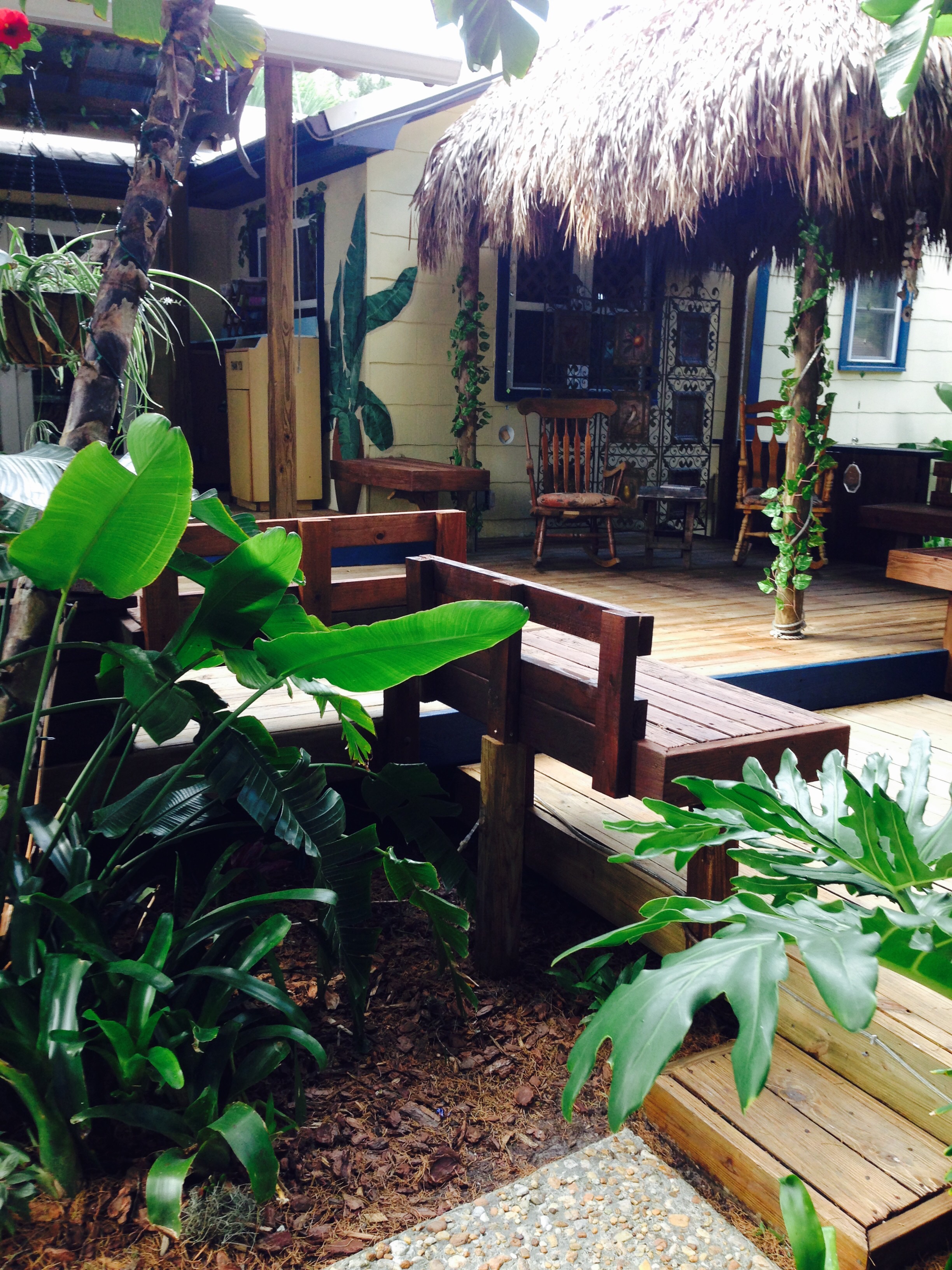
After 2 hours of wrestling the dingy, the skipper finally won. This was not the kind of memory the skipper was trying to make. But I am sure when he is old and sitting in a rocking chair on the front porch, he can reflect back on this little incident and smile.
For now, the skipper is none too happy with the dingy. Looks to be a total loss.
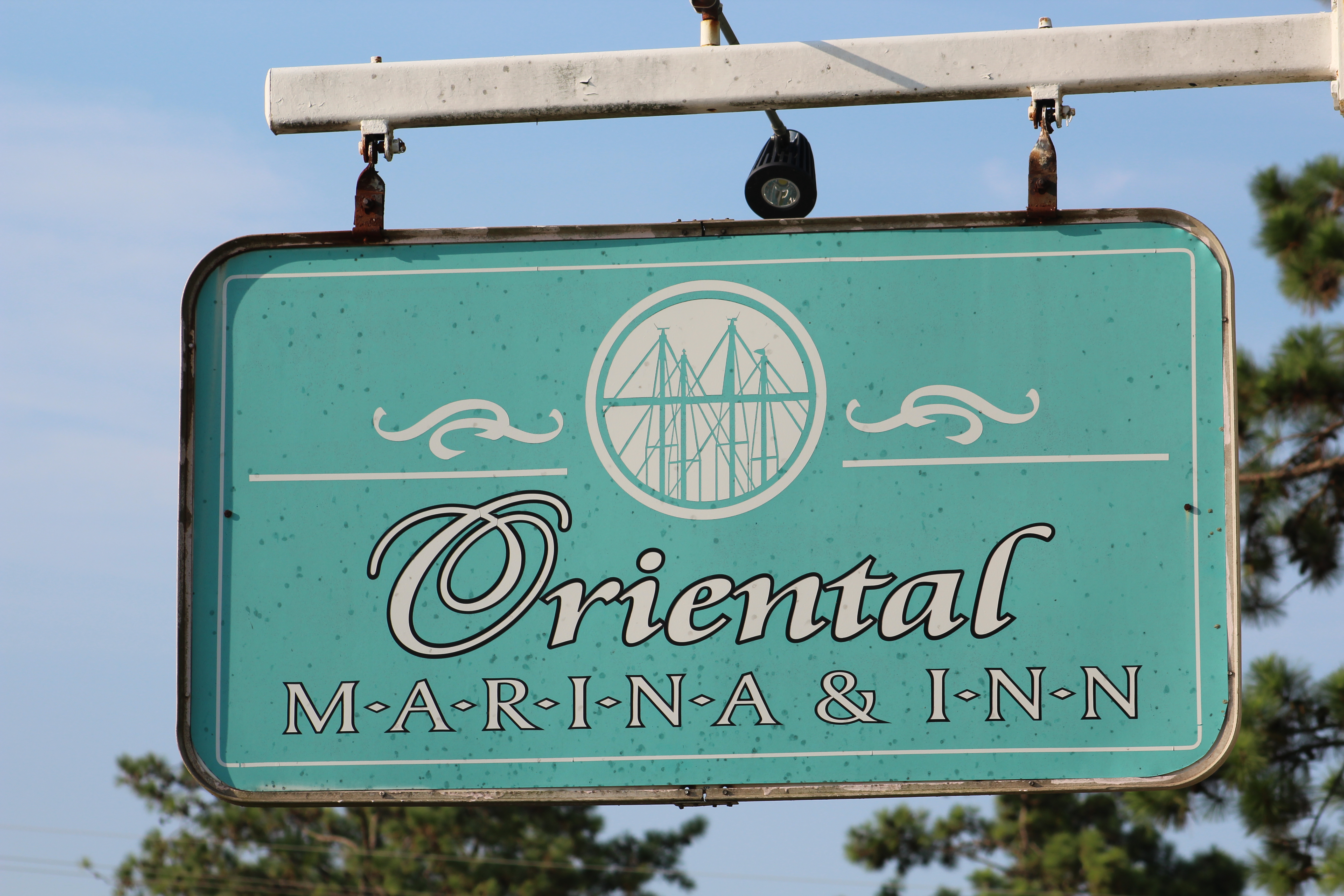
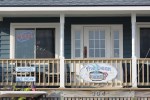
Oh well, it is time to pull into Oriental and rest.

P.S. As one might imagine, the skipper was more than a little sore when he woke up on Monday morning. Good thing Monday was a planned rest day because it sure looks like the skipper needs some rest.