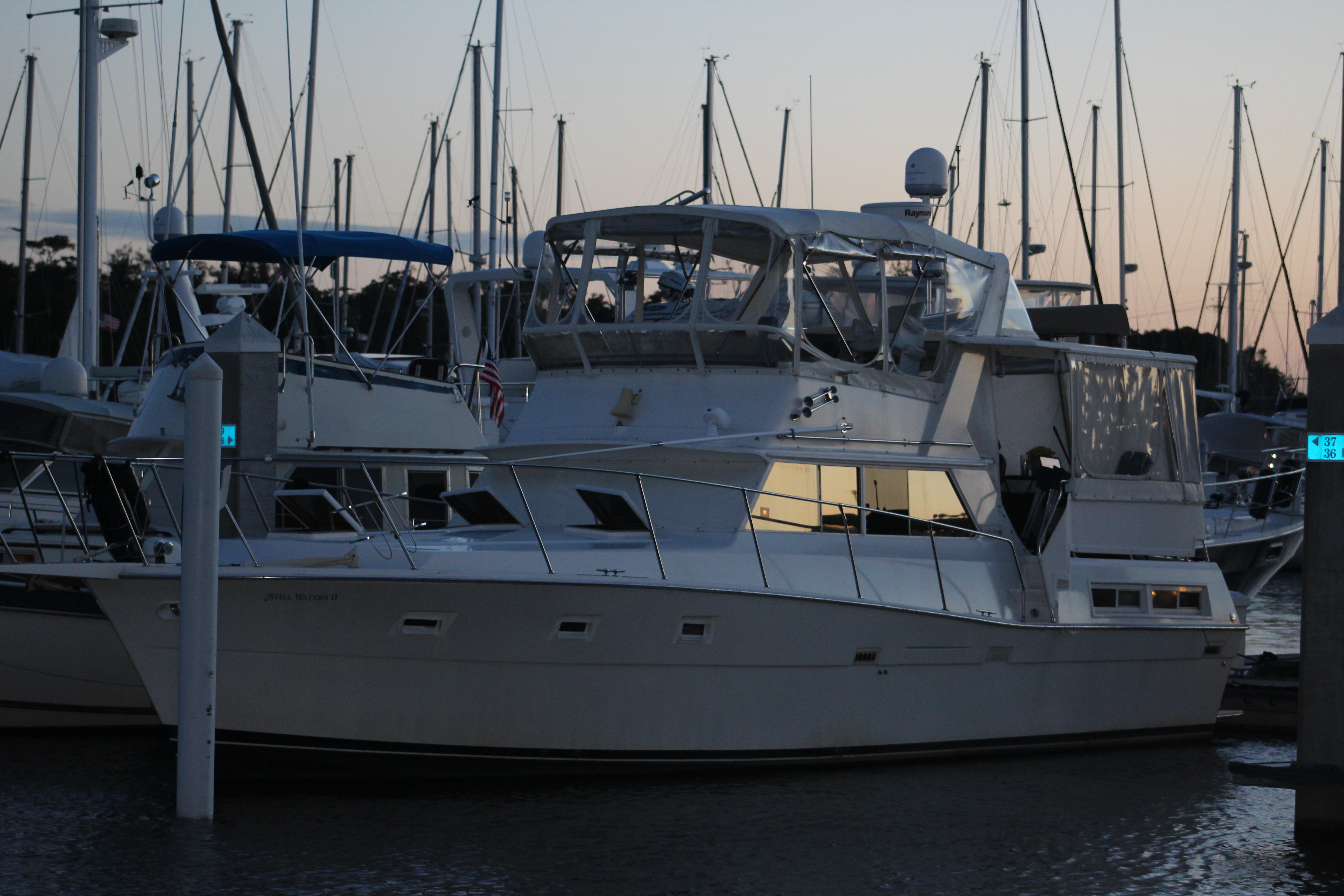
Hello virtual crew members and fellow adventures!
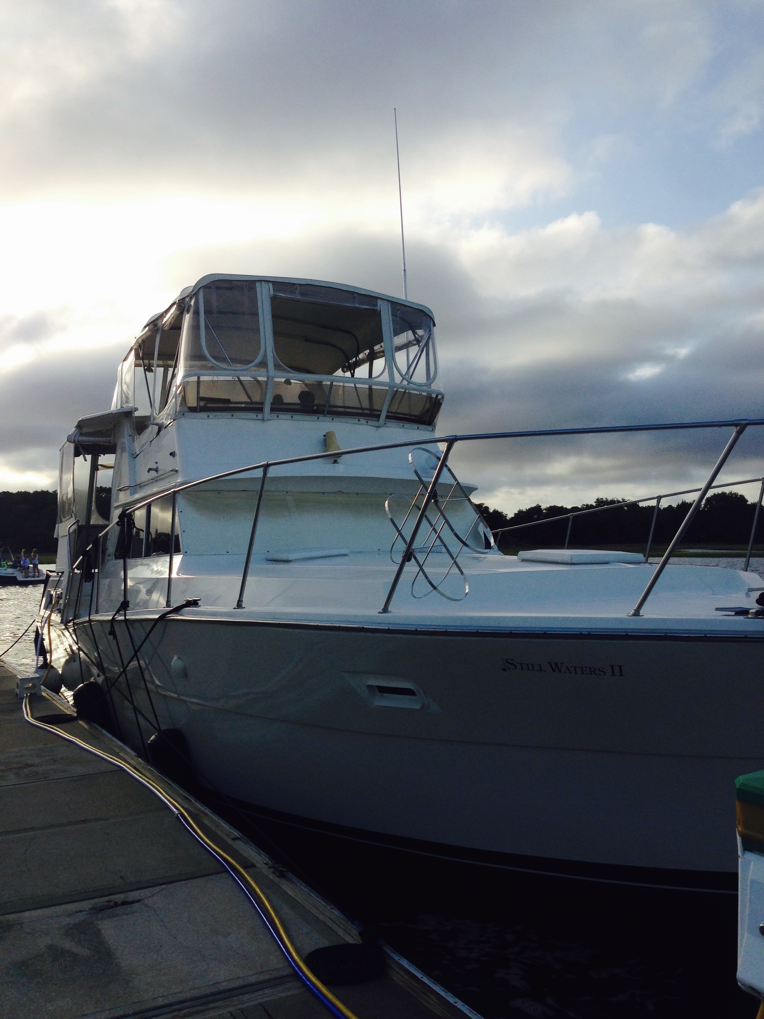
Eric here catching you up to date on the latest travels of Still Waters II. Click on this link to see the day- to-day travel log.

Summary of week:
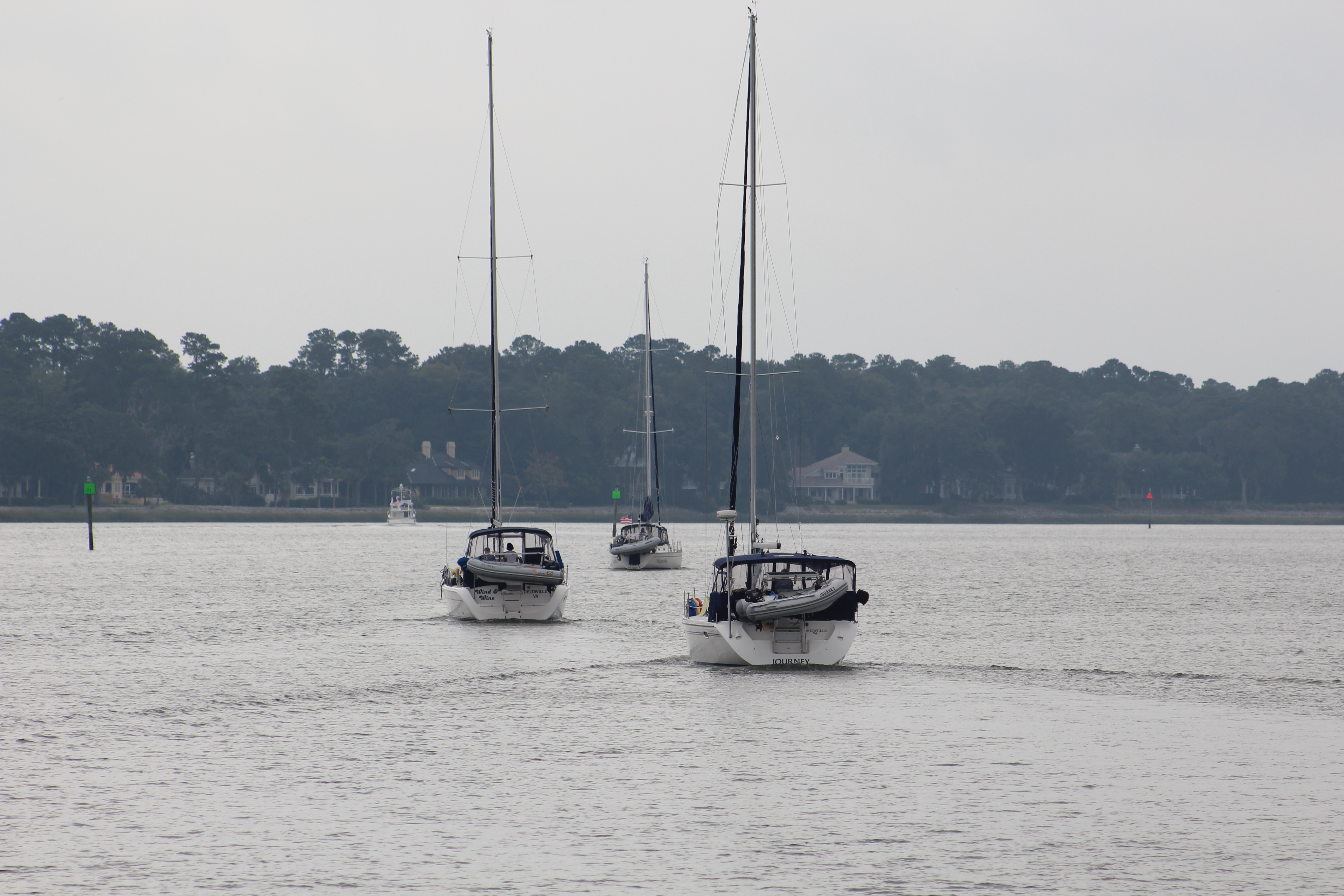
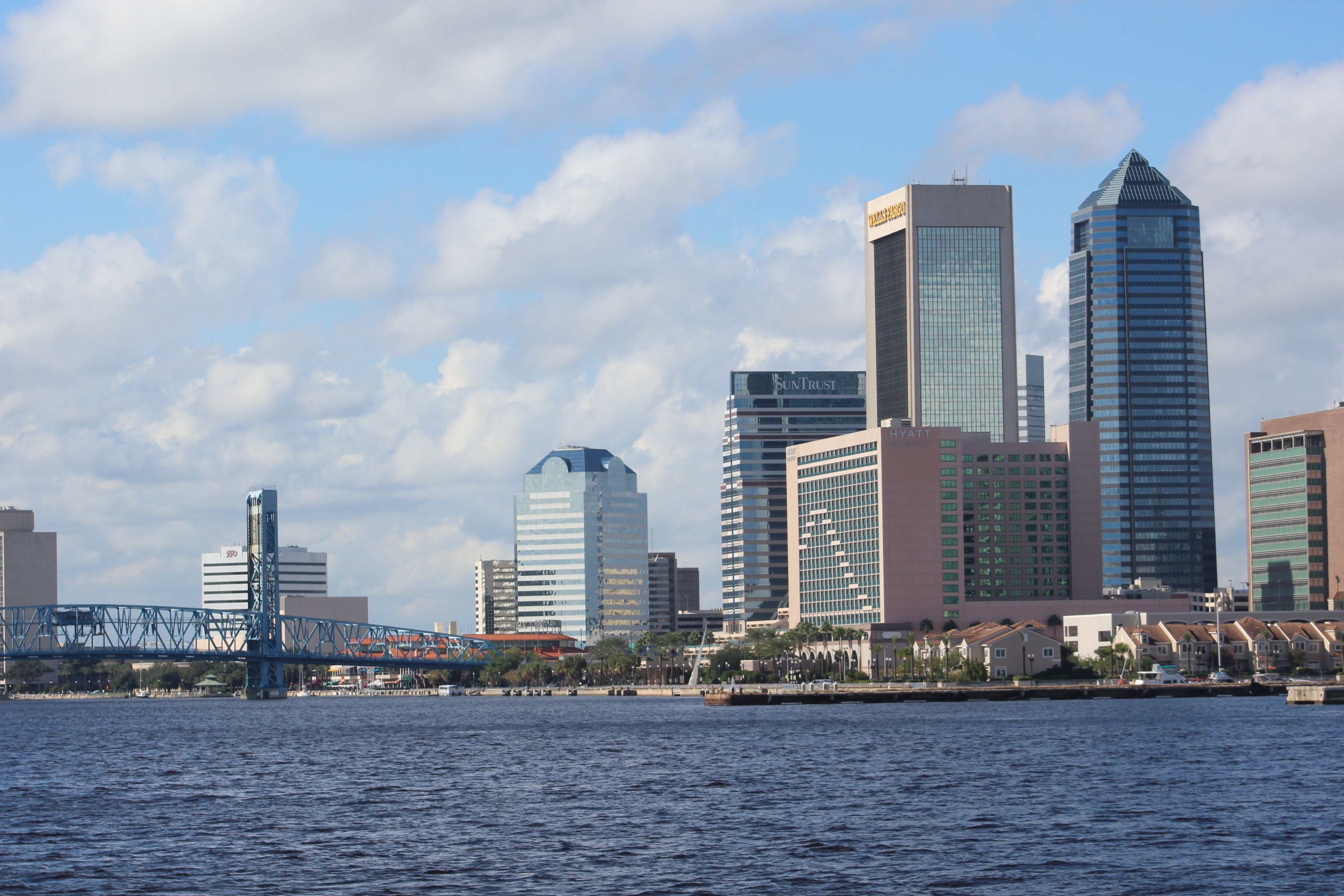
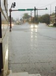
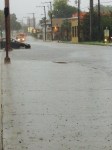
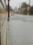
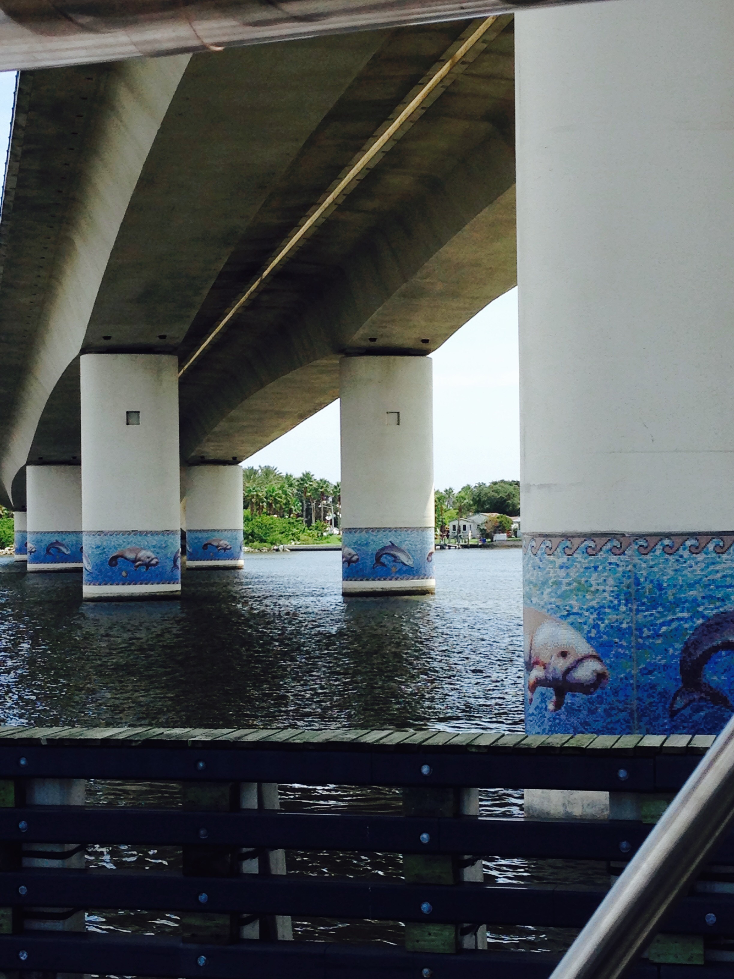
The crew departed Pensacola and cruised three days last week as they headed east along the Emerald Coast. The first stop was in Fort Walton Beach. The crew continued east and stopped in Destin to dock and dine for lunch at Dewey Destin’s Seafood Restaurant. Then they made their way across Choctaw Hatchee Bay and dropped anchor near the HWY 331 bridge. Next stop was Panama City where the crew held up to allow some nasty weather packing high winds and rain to pass.

Monday, January 16, 2017
The cruise to Fort Walton Beach was uneventful. Along the run though the crew passed a sailboat, Lacuna, while running in the Santa Rosa Sound.

About two hours after our crew landed at the Ft Walton Beach City Marina, the sailboat pulled in also. A good example of the adage in boating, “everyone ends up at the same place, the only difference is how much did you spend on fuel to get there.”

Turns out the crew of the Lacuna, Mike and Jen, left from Wisconsin back in October to start the loop but are not members of America’s Great Loop Cruising Association. They are a young couple who are working onboard via the internet as they do the loop. The definition of Lacuna is gap or hiatus. They explained that they are taking a lacuna from their dirt dwelling life to cruise the loop. Very inspirational.

Tuesday, January 17, 2017
Before the crew got started this morning they welcomed some folks from Kentucky onboard. They were doing a photo shoot at the City Park and Marina.

The young man is on Instagram at braden_shannon for any of the single virtual crew members who might be interested.

The crew also spent some time with Mike and Jen, the crew of the Lacuna, comparing notes and stories. Seems the two crews are on about the same schedule to move east along the pan handle of Florida and stage for the Gulf crossing.


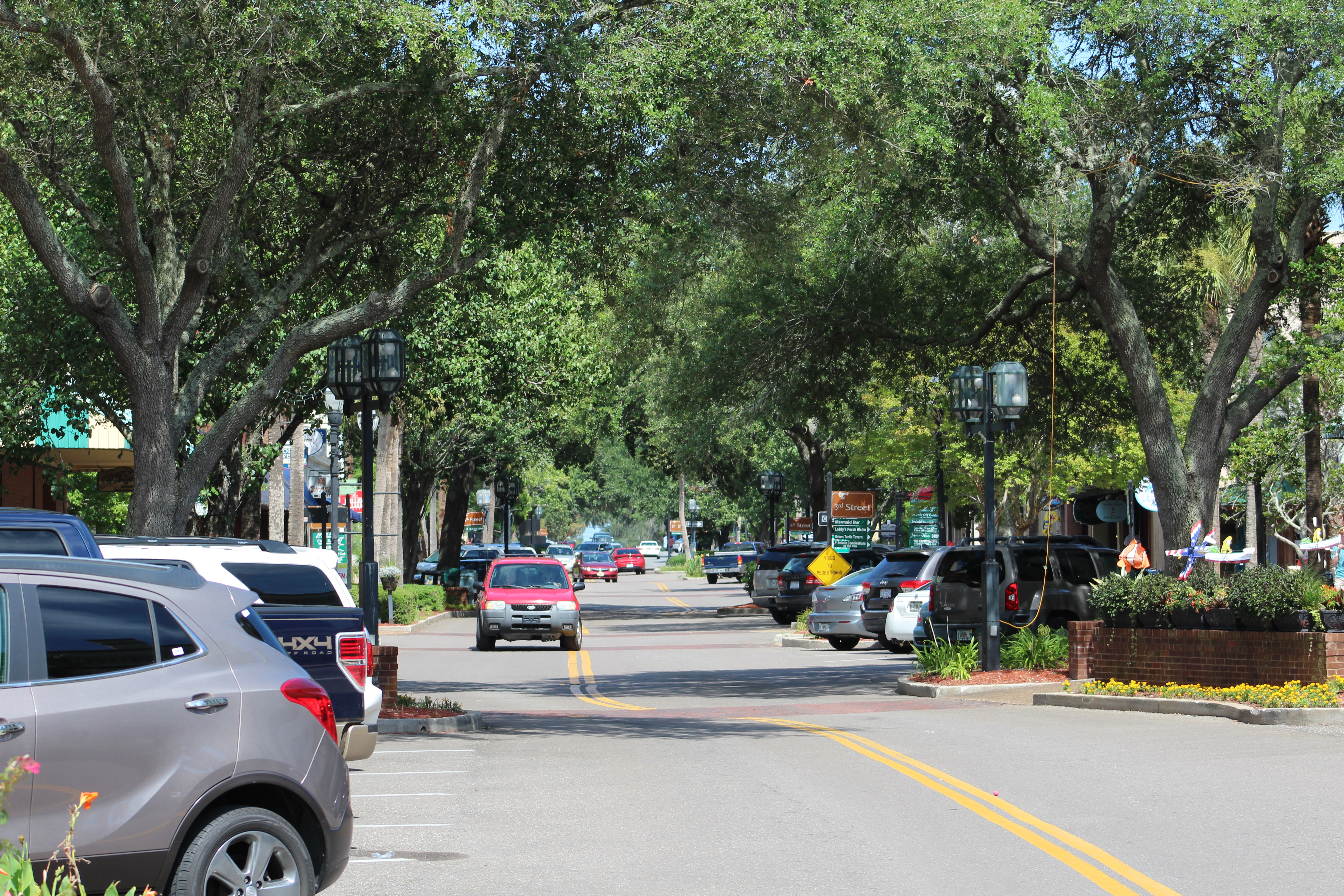
The crew shoved off a bit after 1000 a.m. and made the hour run over to Destin to stop and enjoy a Dock and Dine at Dewey Destin’s Seafood.
They landed at the end of the T-dock. The restaurant does not look like much but the food was very good and the portions for lunch were unexpectedly huge. The crew took a to go box and have enough food left for another meal.
As the crew was walking back down the dock to leave, a couple stopped the crew and asked if they were doing the loop. The crew answered yes, and had an interesting conversation with the couple. Turns out the couple are neighbors with Ron and Eva Stob, the originators of the Great Loop Cruising Association. Small, small world.
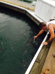
After the conversation, the crew shoved off from the dock and headed back to the Bay. The dolphins were ready to play today and this one was very acrobatic as he jumped out of the water several times.


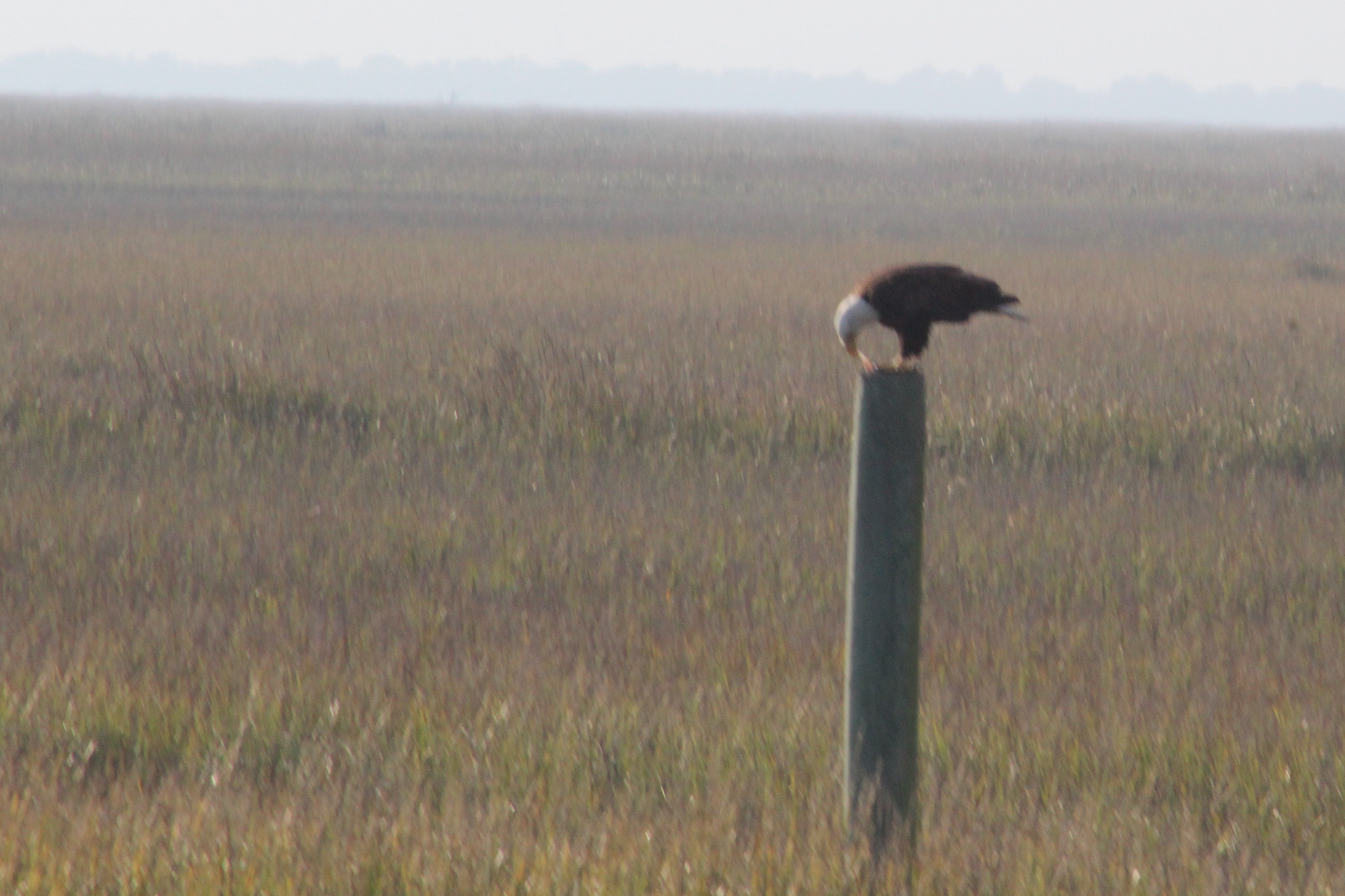
The crew ran another 20 miles, and dropped anchor for the night near the Choctaw Hatchee Bridge. (HWY 331)

Wednesday, January 18, 2017
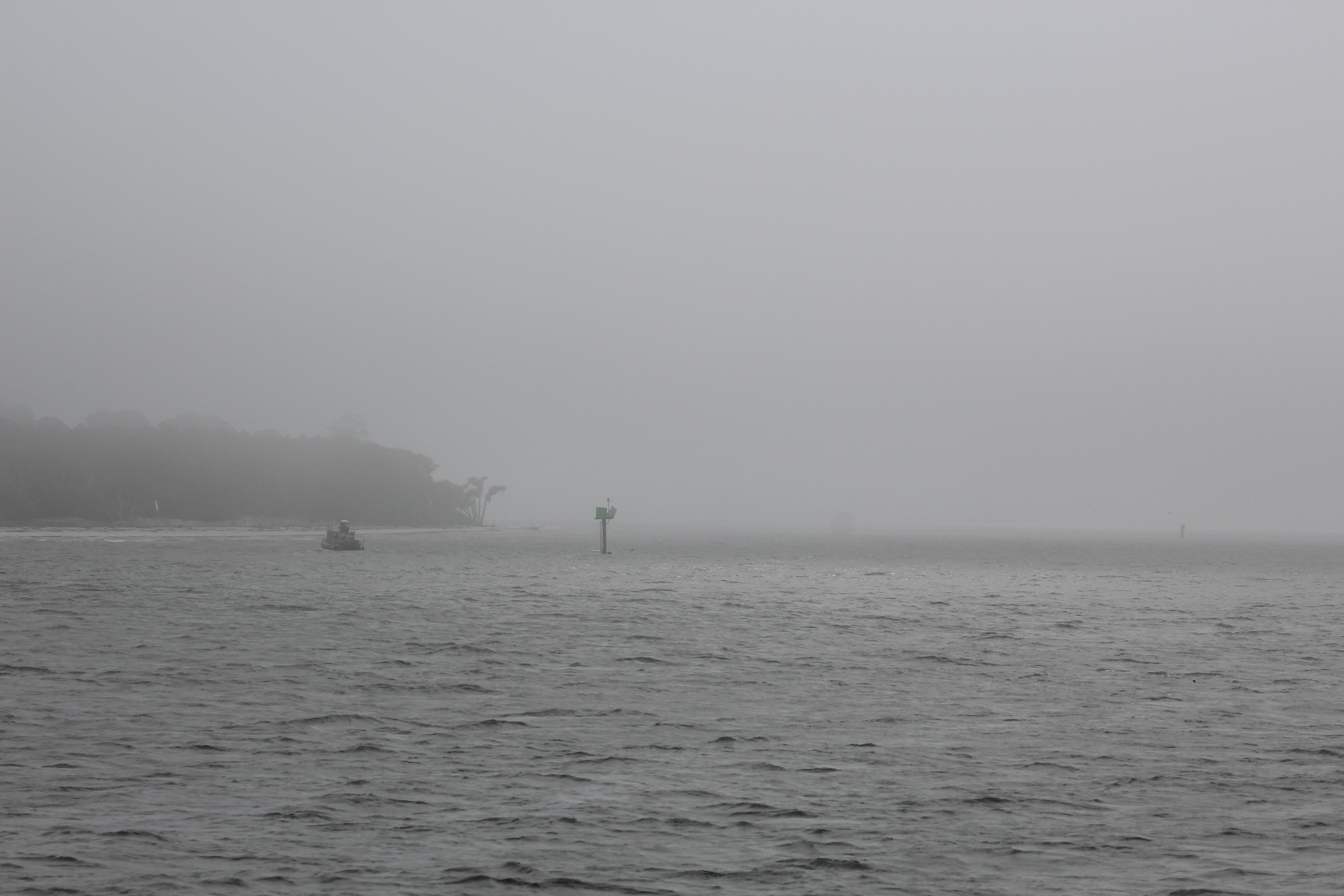
The crew woke up to heavy fog this morning. The crew could hear vehicle traffic on the bridge but could no see the bridge. The skipper was getting impatient with the fog, so at 1000 he called the Panama City Marina and learned that the fog had cleared over there. The crew discussed their options and decided to go ahead and leave at 1100 even if the fog was still present.

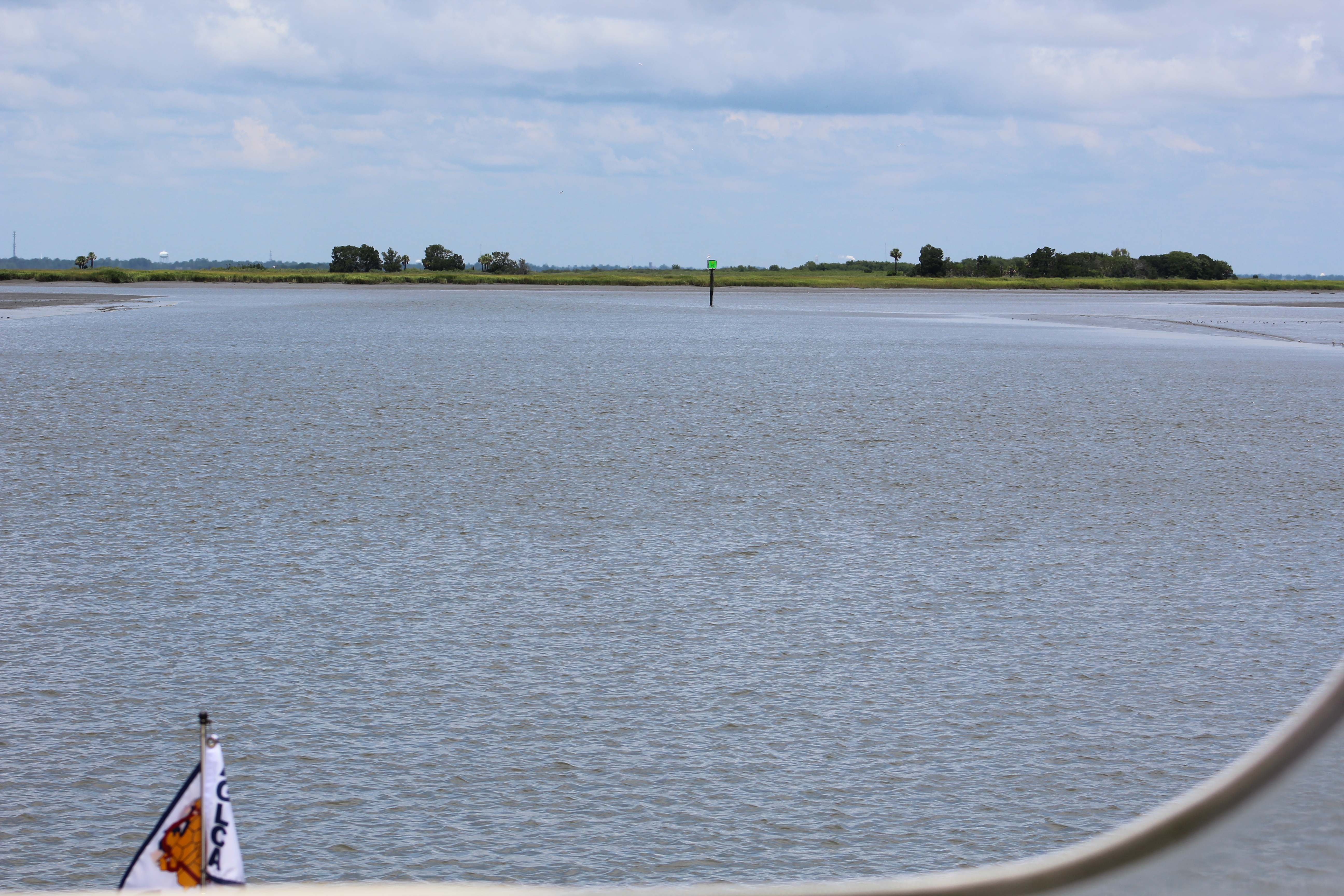
At 1100, the fog was still socked in so the crew raised the anchor and headed east four miles with the hope that when they entered a narrow 16-mile channel that less water would mean less fog.
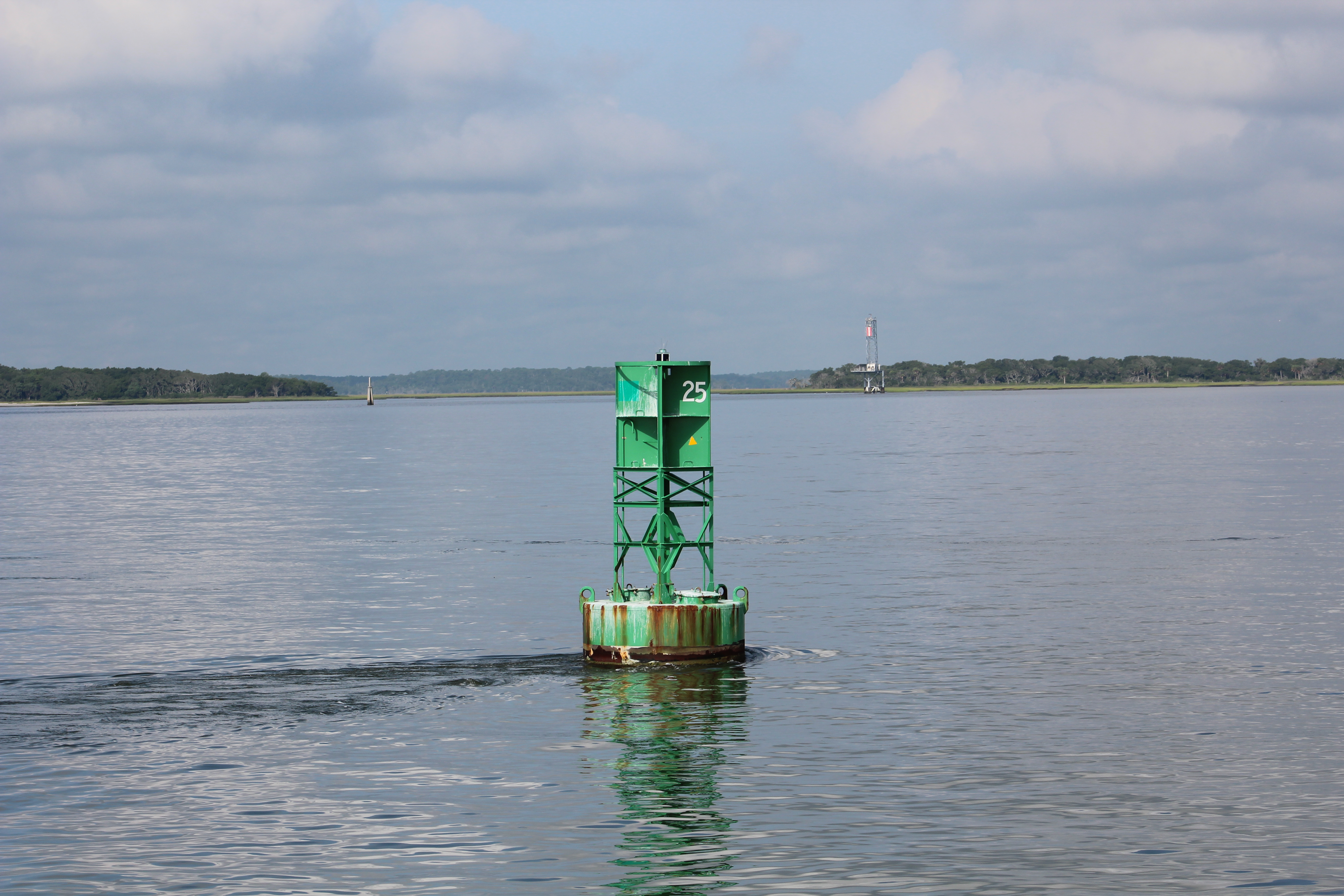
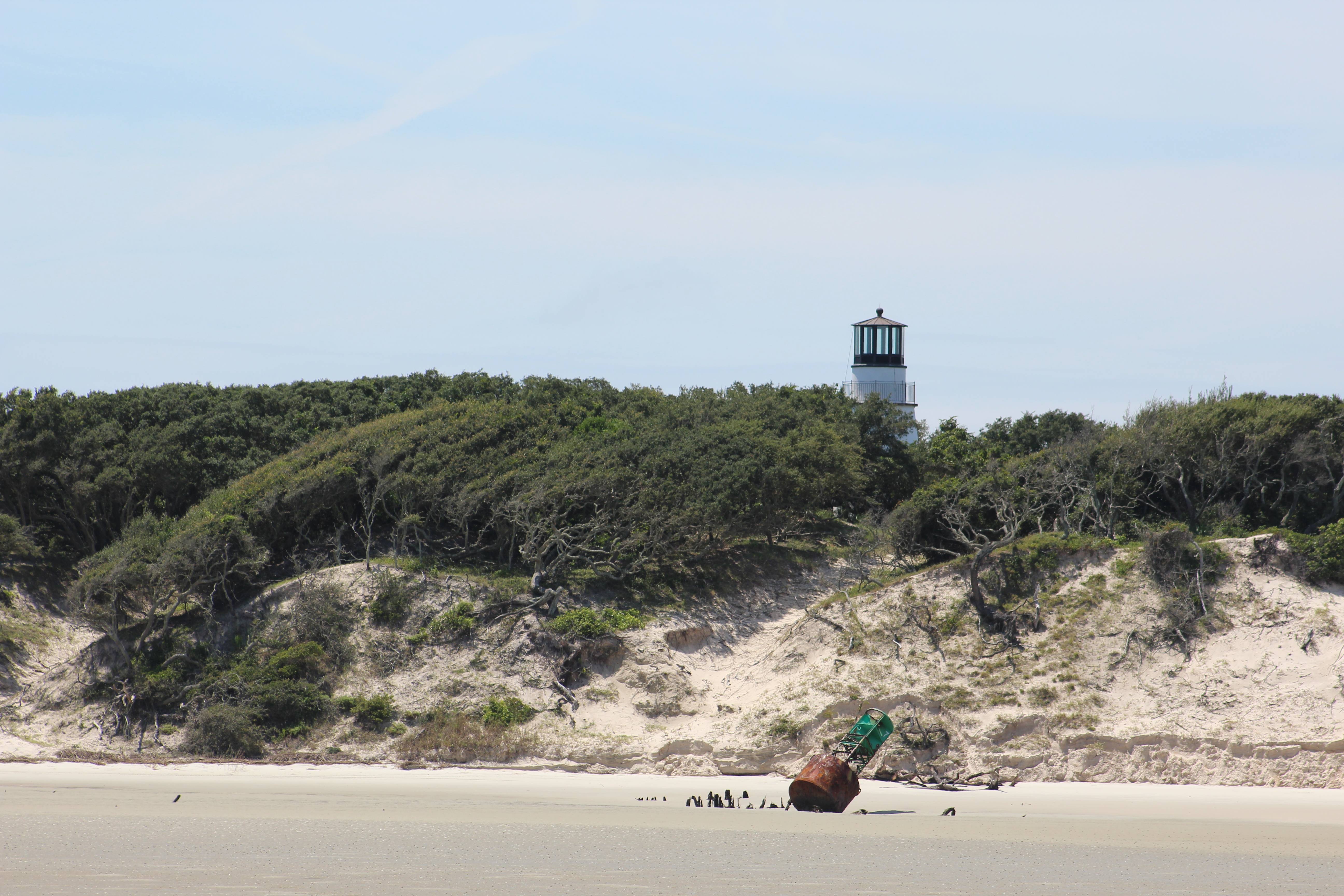
As they approached the canal opening the crew could not find the green day marker that was supposed to mark the entrance of the channel. They could not see the day marker on the radar either. Finally they saw a small object on radar that turned out to be a small Coast Guard boat in the position of the missing green day mark. Looked like the Coast Guard was deploying a floating green can. After passing the Coast Guard boat, the skipper noticed the green day mark washed up on shore.
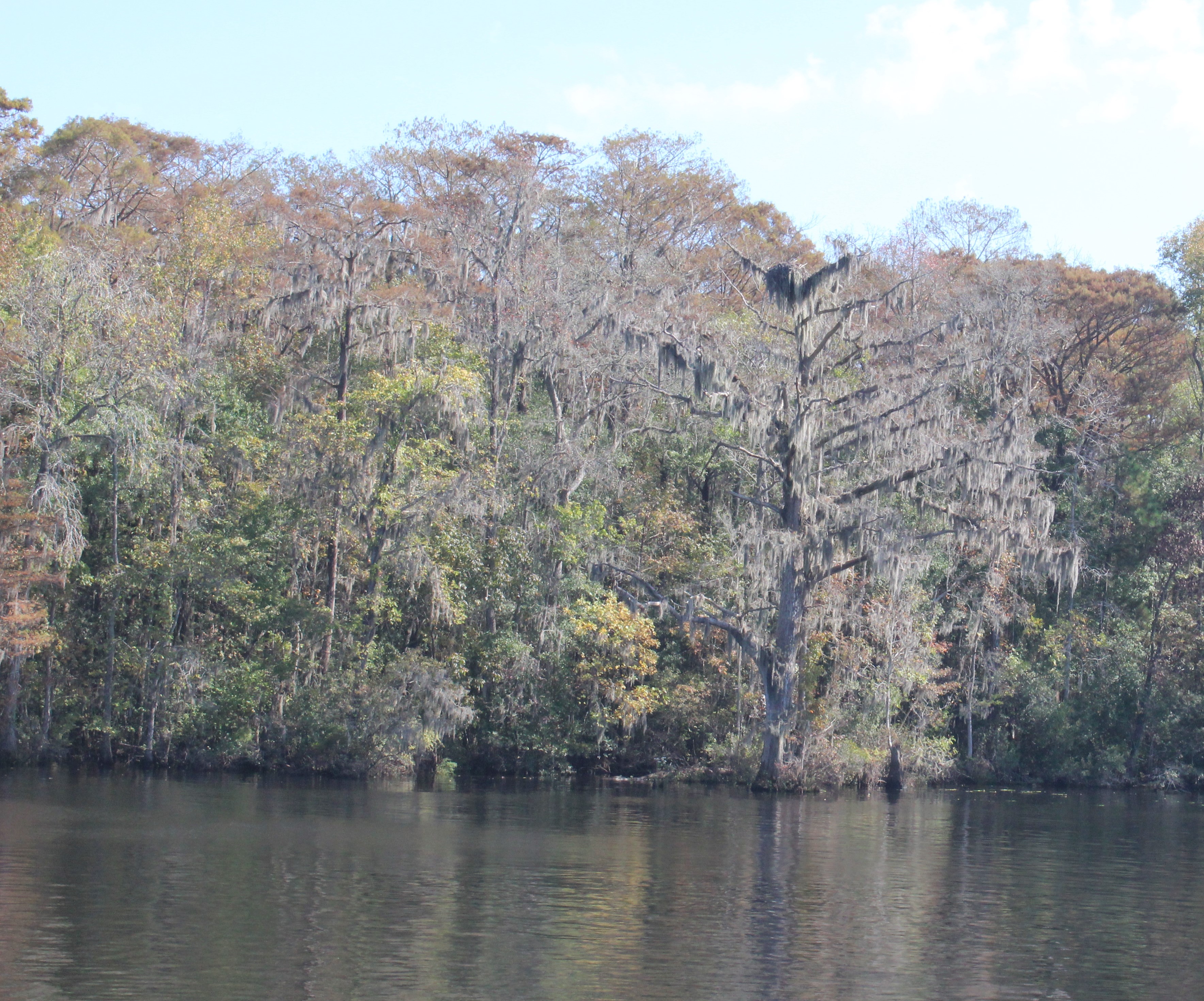
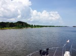
Within a half mile of entering the narrow channel, the fog was completely gone and the crew cruised in partly cloudy skies the rest of the day. The channel turned out to be a big surprise with good scenery.


While running through the narrow channel, also referred to as the ‘Grand Canyon,’ the crew passed a man paddling a canoe. Not all that unusual, except this canoe had Guinness World Record painted along the side of the canoe.

The crew stopped in the channel and the man paddled over to Still Waters II. His name is Aaron. He started his current adventure on the Missouri River in Montana. He is paddling to raise awareness about adoption. His goal was to paddle the Missouri River to the Mississippi River, and then the Mississippi River down to the Gulf.

He said once he arrived at the Gulf he still had gas in the tank so he turned east and started paddling the Gulf Intercostal Water Way. His new goal is to paddle to the Atlantic Ocean. He has a website if you would like to learn more about Aaron and/or his cause. http://adventureaaron.com
The crew found this interesting since their own daughter and son-in-law just started their own adventure by adopting a sibling group of four in 2016.
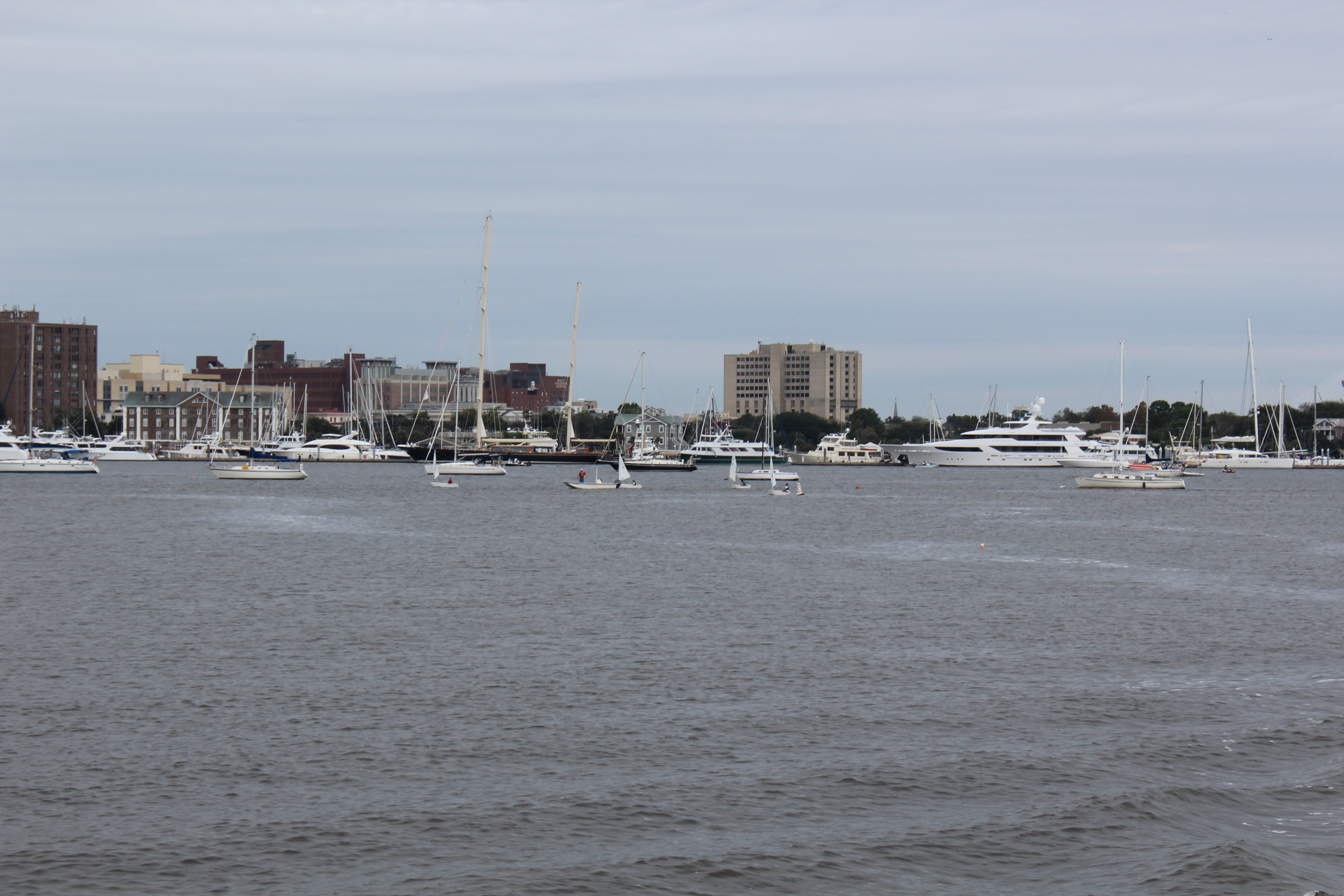
After talking with Aaron the crew pressed on to Panama City Marina.

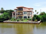
Shore Excursion – Panama City
The crew decided to rent a car for the weekend and explore the area.

This next photo is of a four headed palm tree. Thought to be the only one in the world. It is located in a city park in St Andrews.

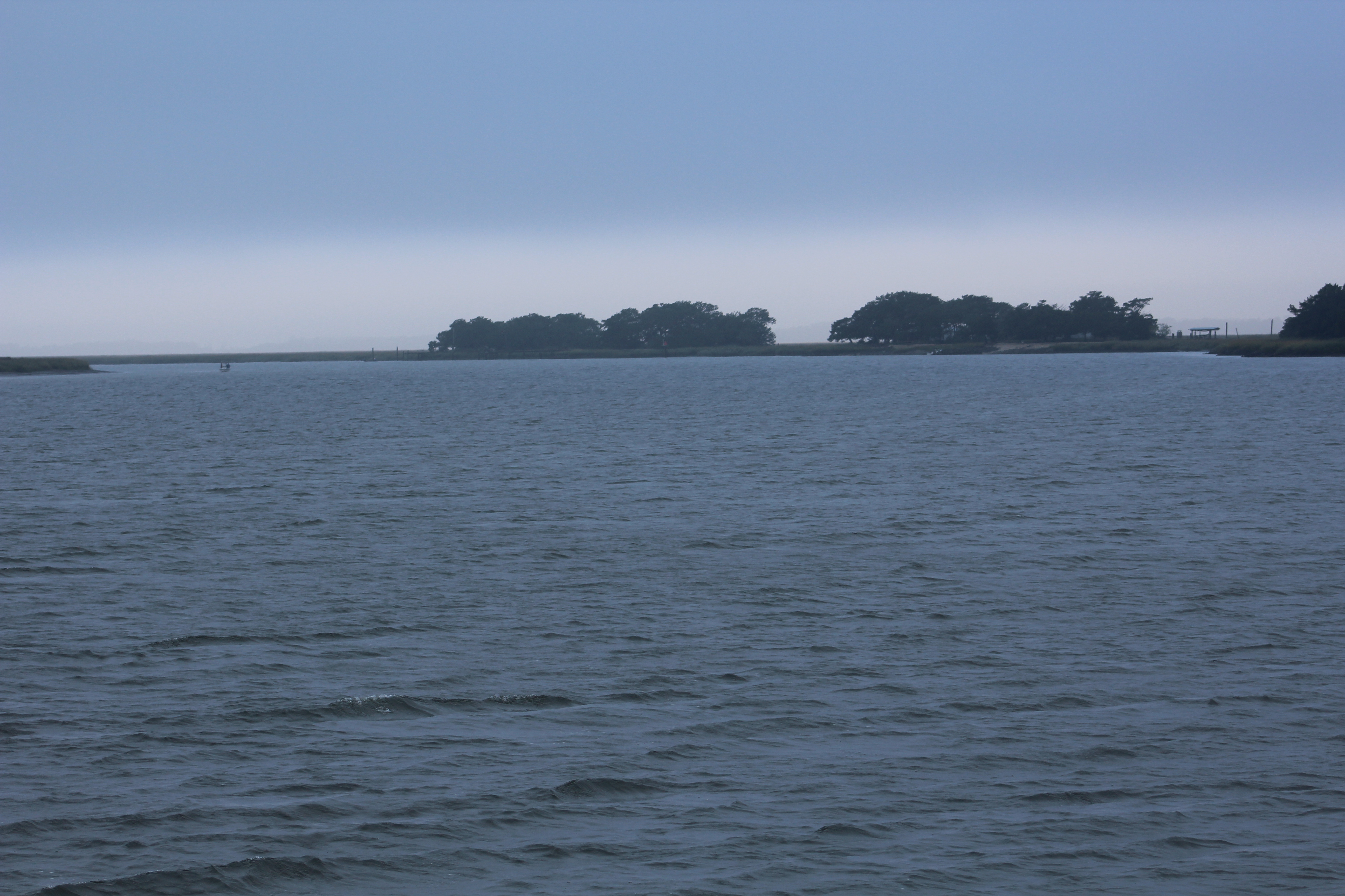
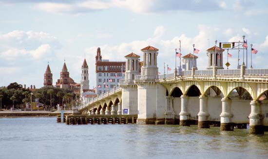
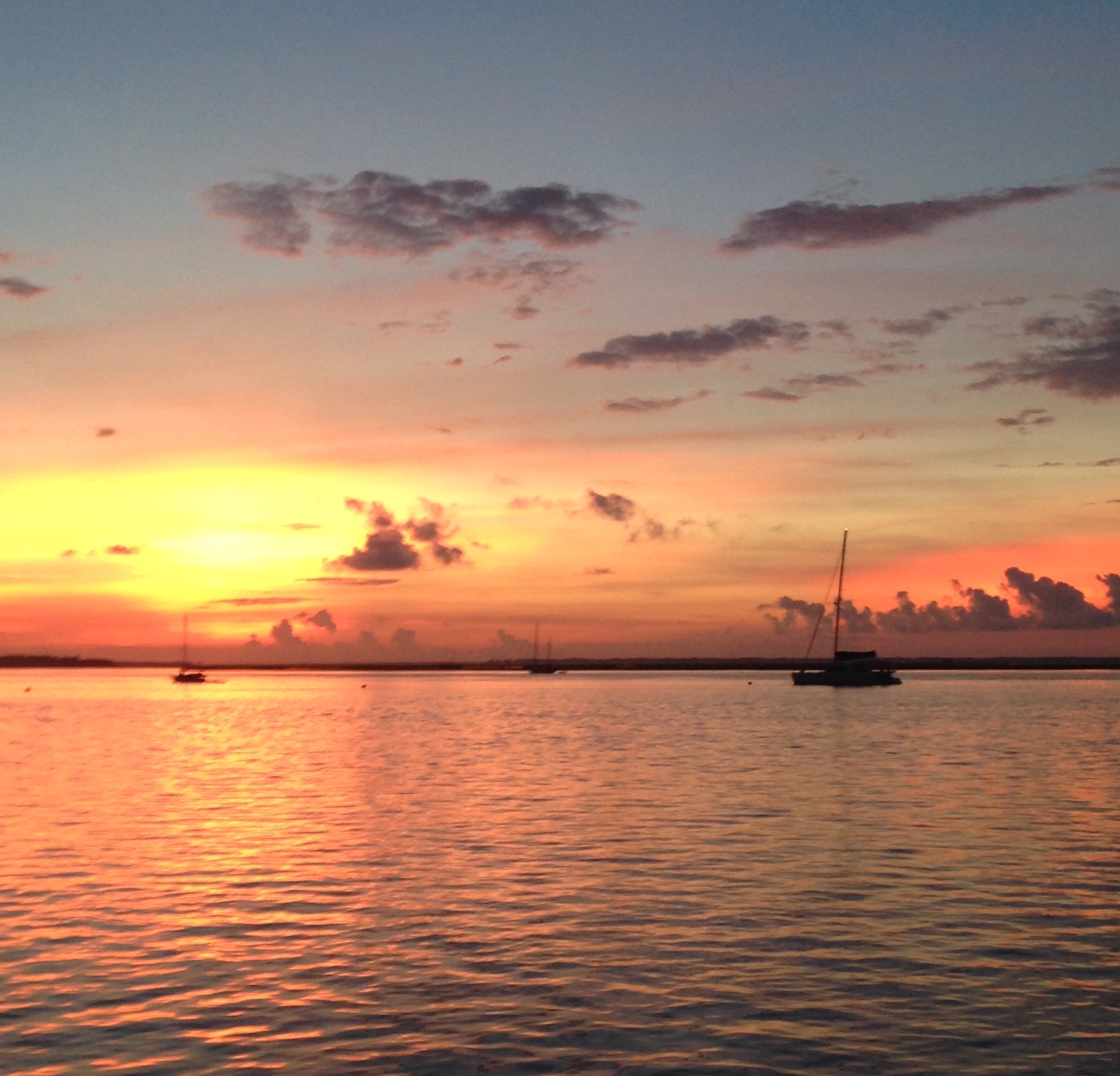
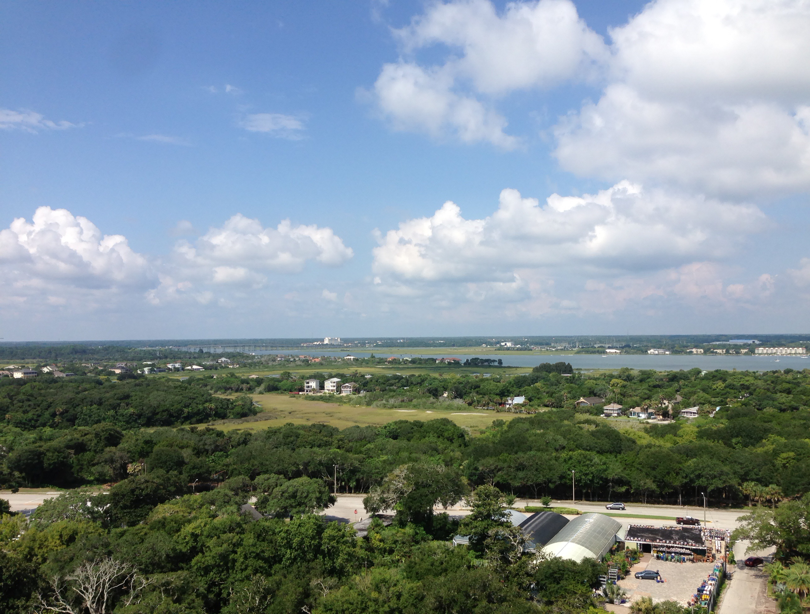
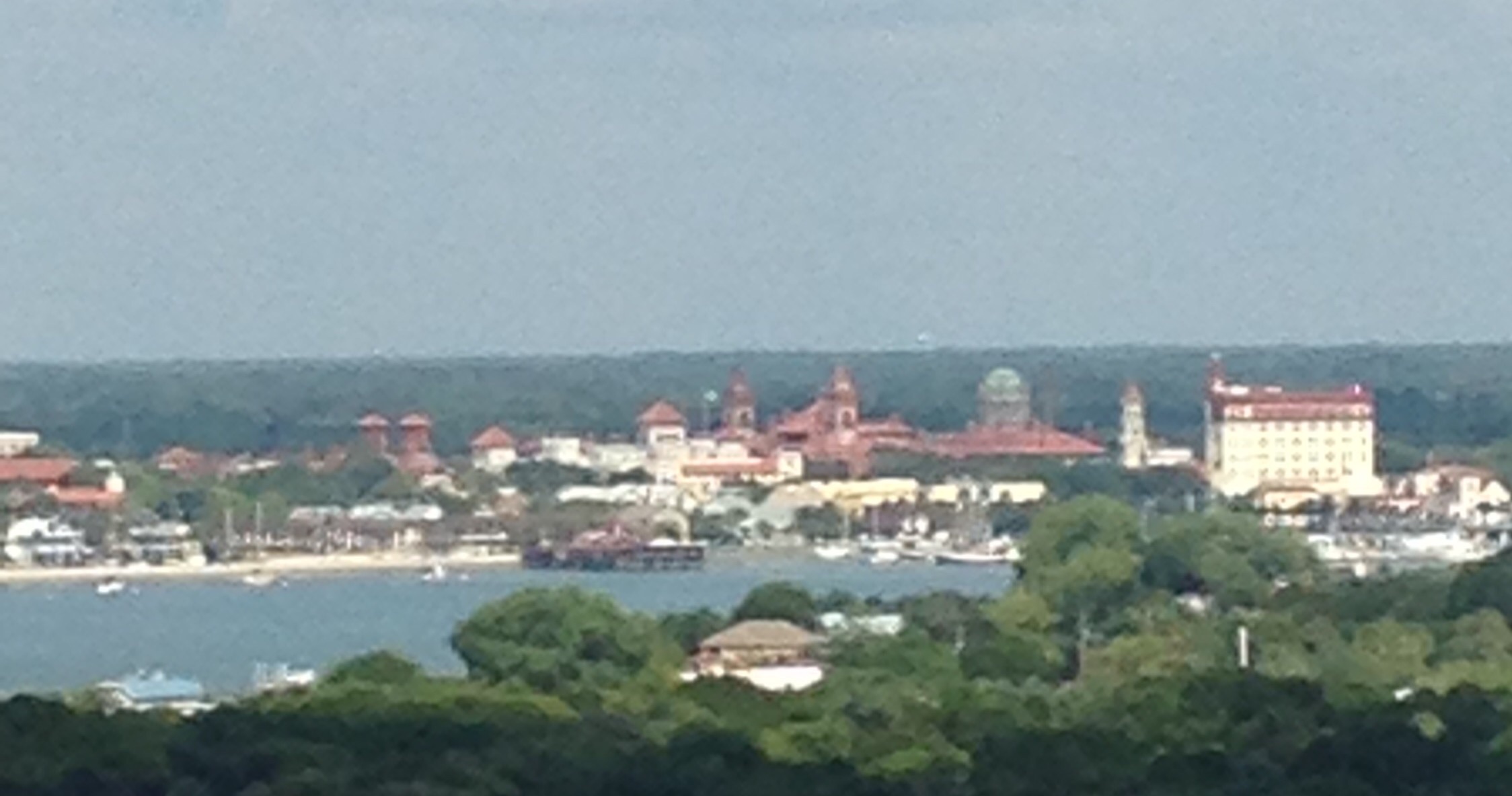
The next two pics show why this area is called the Emerald Coast.


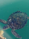
While shelling along the shoreline, the crew found this rare shell back turtle coming ashore. Turtles should not arrive until March so this must be a scout.

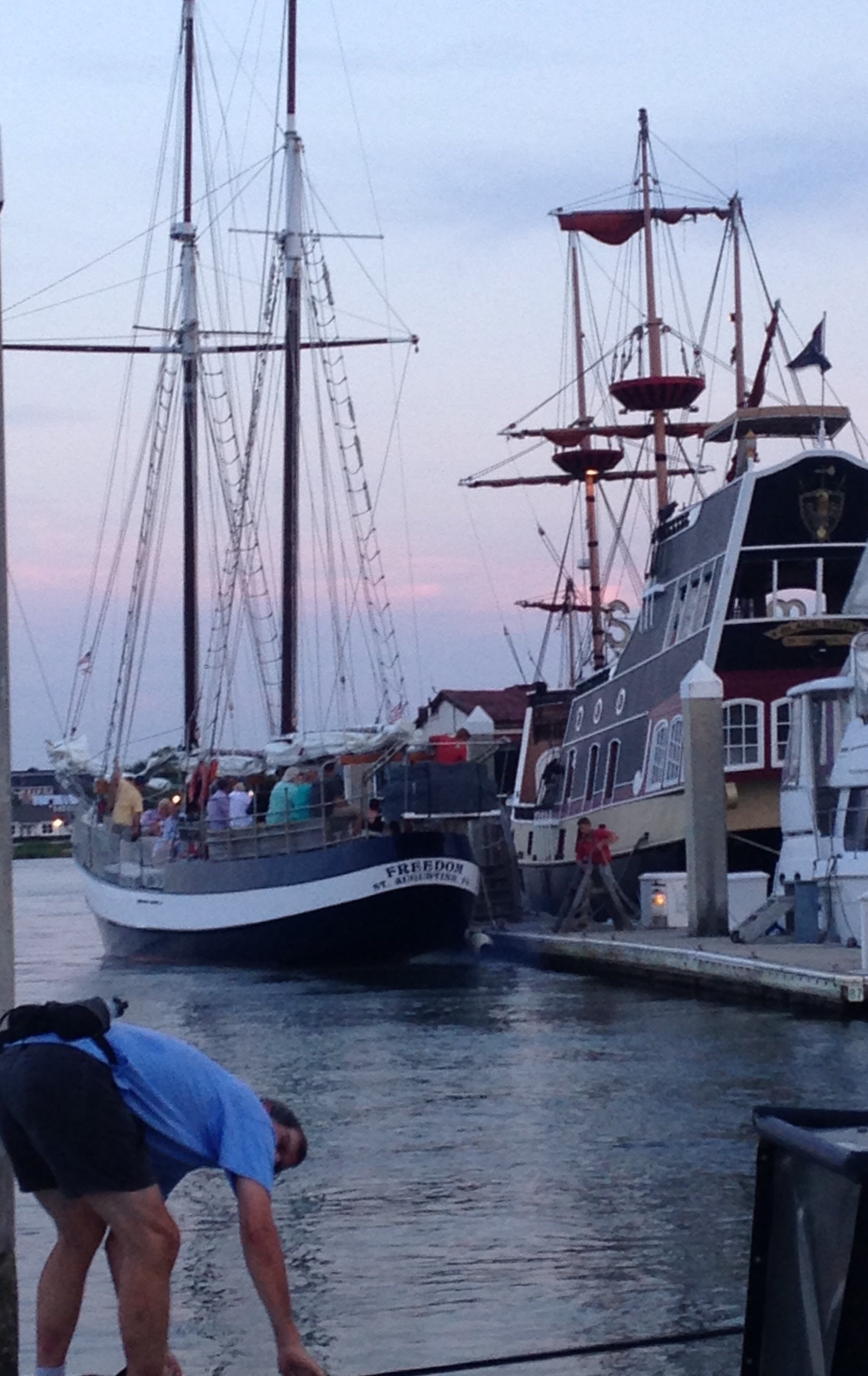
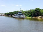
The Governor Stone is the last known working Gulf Coast schooner. She served during WWII, and has worked as an oyster buy boat, a rum runner during prohibition, a resort day sailor, a private yacht, and a sponge boat. She is now a floating sailing museum.

She was built in Pascagoula, Mississippi in 1877, and has actually been sunk three times.
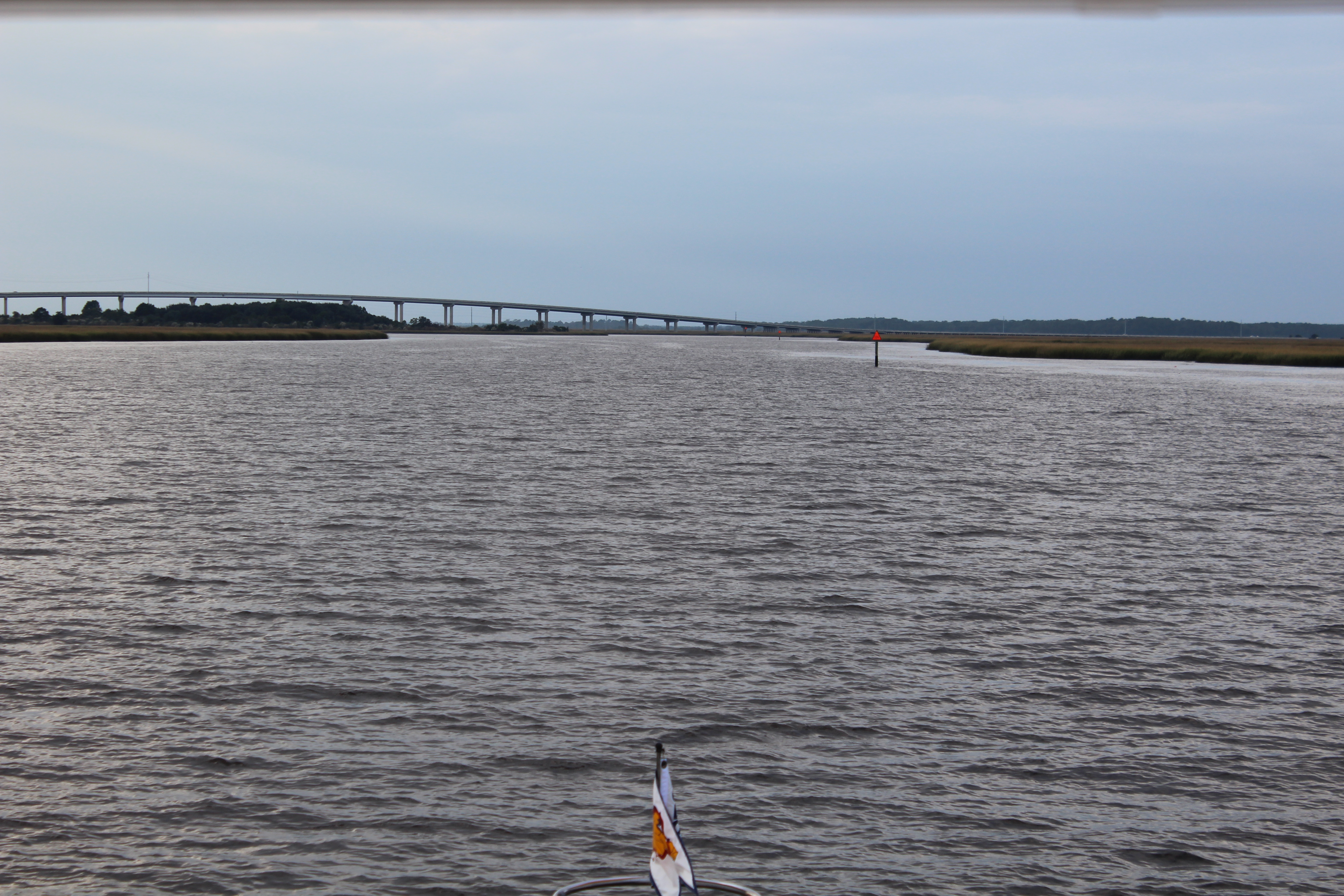
Next Week – The weather and wind is predicted to be bad through Monday, winds at 24 mph and gusts over 30. The crew will stay put till mid week and then make their way over to Port St. Joe. They will stay at Port St Joe until a weather window opens to cross the Gulf. When a weather window opens they will move further east to Carrabelle, Florida where they will launch their Gulf crossing to Tarpon Springs.
Loop On – The water goes on forever and the adventure never ends.
Eric the Red