Hello virtual crew members and fellow adventurers!
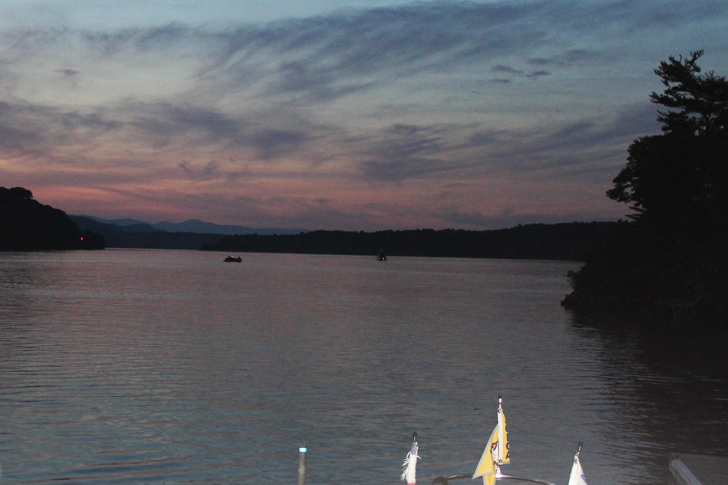
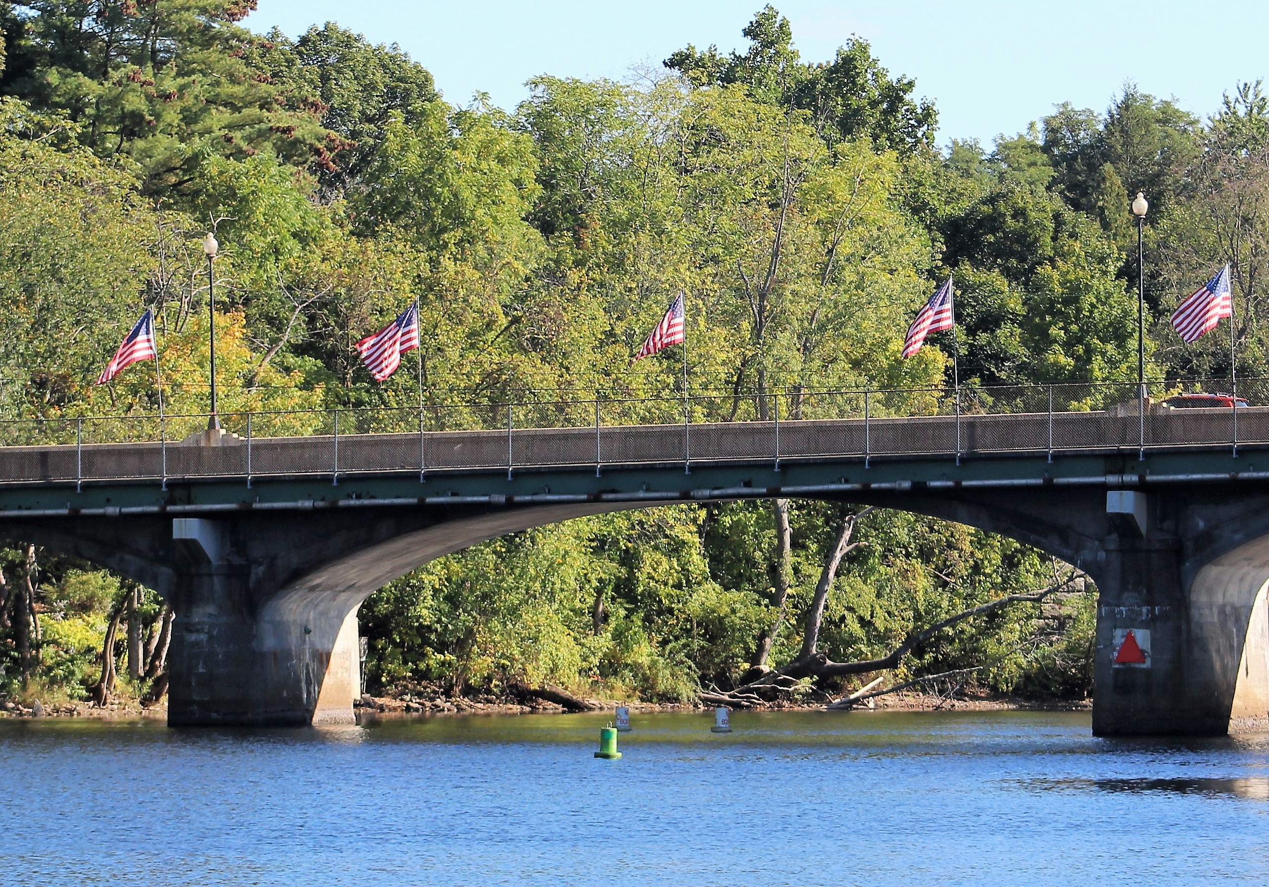
Ski show in Scotia started with the Star Spangled Banner

Summary of week:
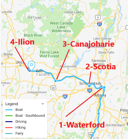
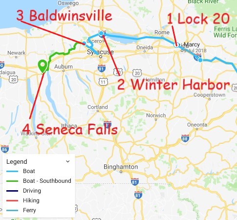
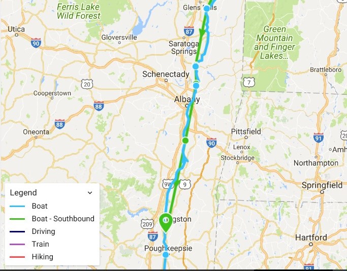
The crew put in four travel days during the week, setting up a pattern of one travel day followed by one day to explore the area:
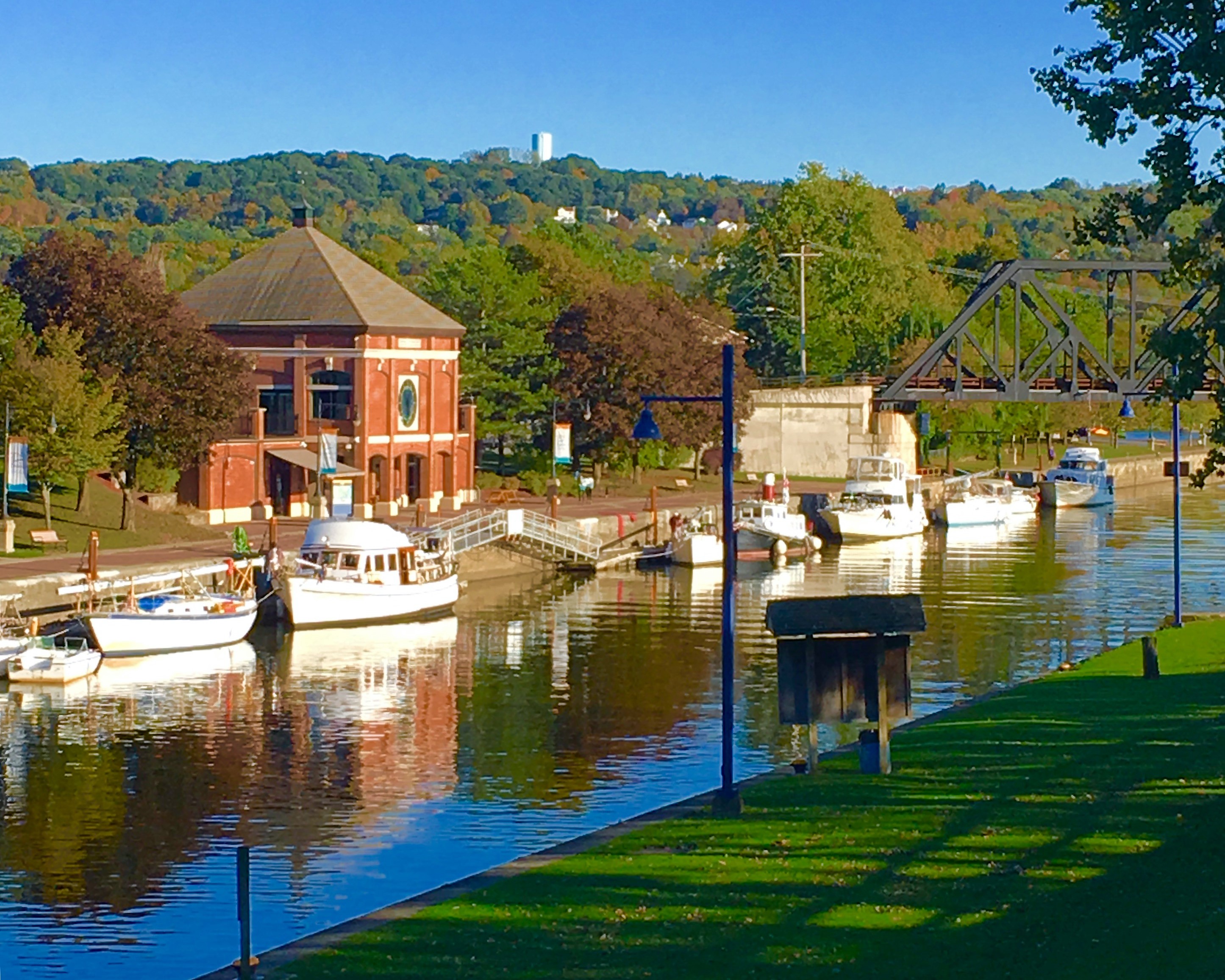
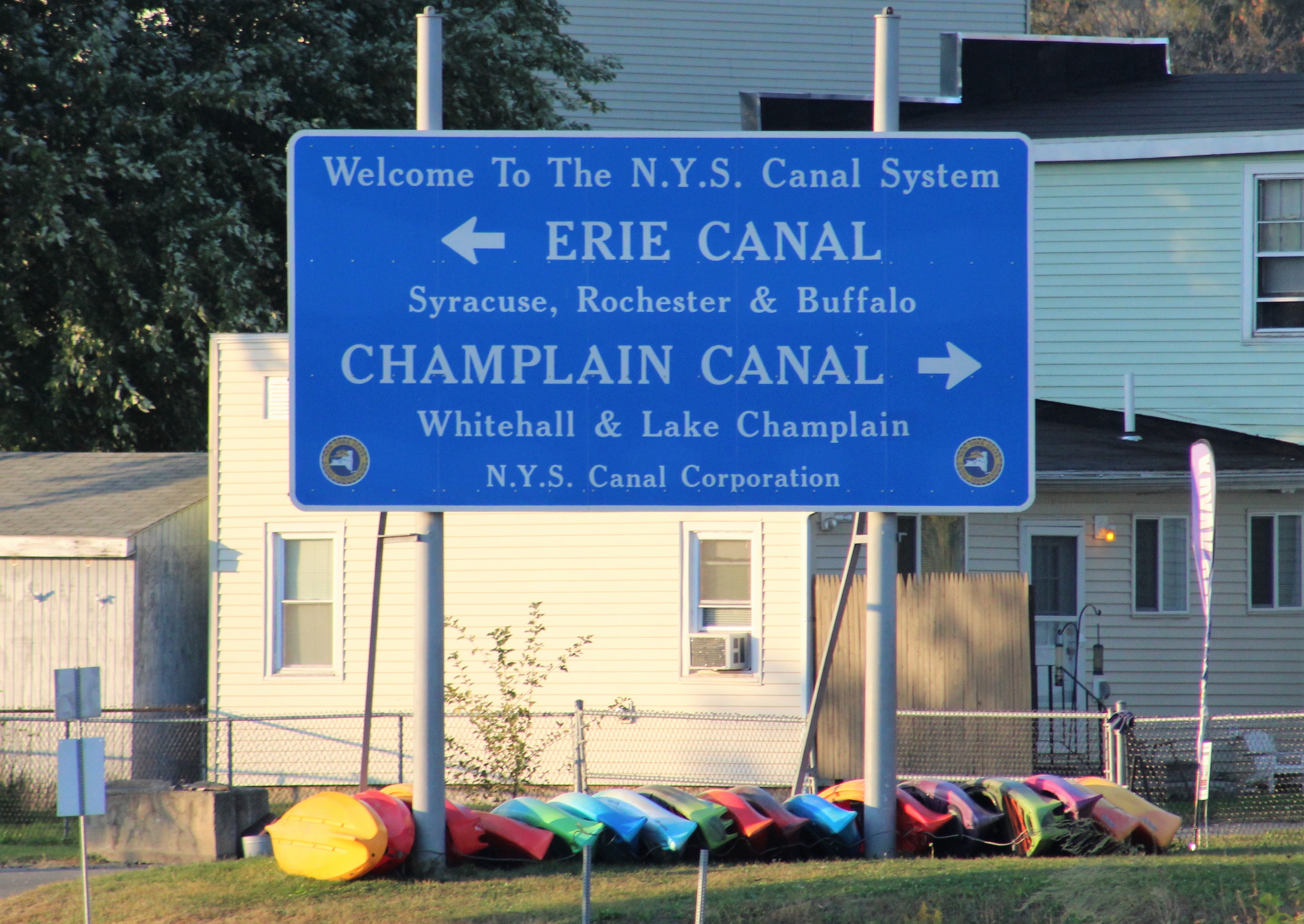
1- Started the week out at the Waterford Visitor Center at the beginning of the Erie Canal
2- Travelled to Scotia on Tuesday and celebrated the 4th with the locals
3- Made way to Canajoharie on Thursday
4- Ended the week on Saturday by stopping in Ilion for the weekend
Click here to read the day-to-day travel log. This includes weather report, sea conditions, captain’s log, a summary of the day’s experience, and a few pics of the route.
The voyage of discovery did answer the following questions this week:
- Where is the shortest canal system with the largest lift in the world?
- What is Cohoes Falls?
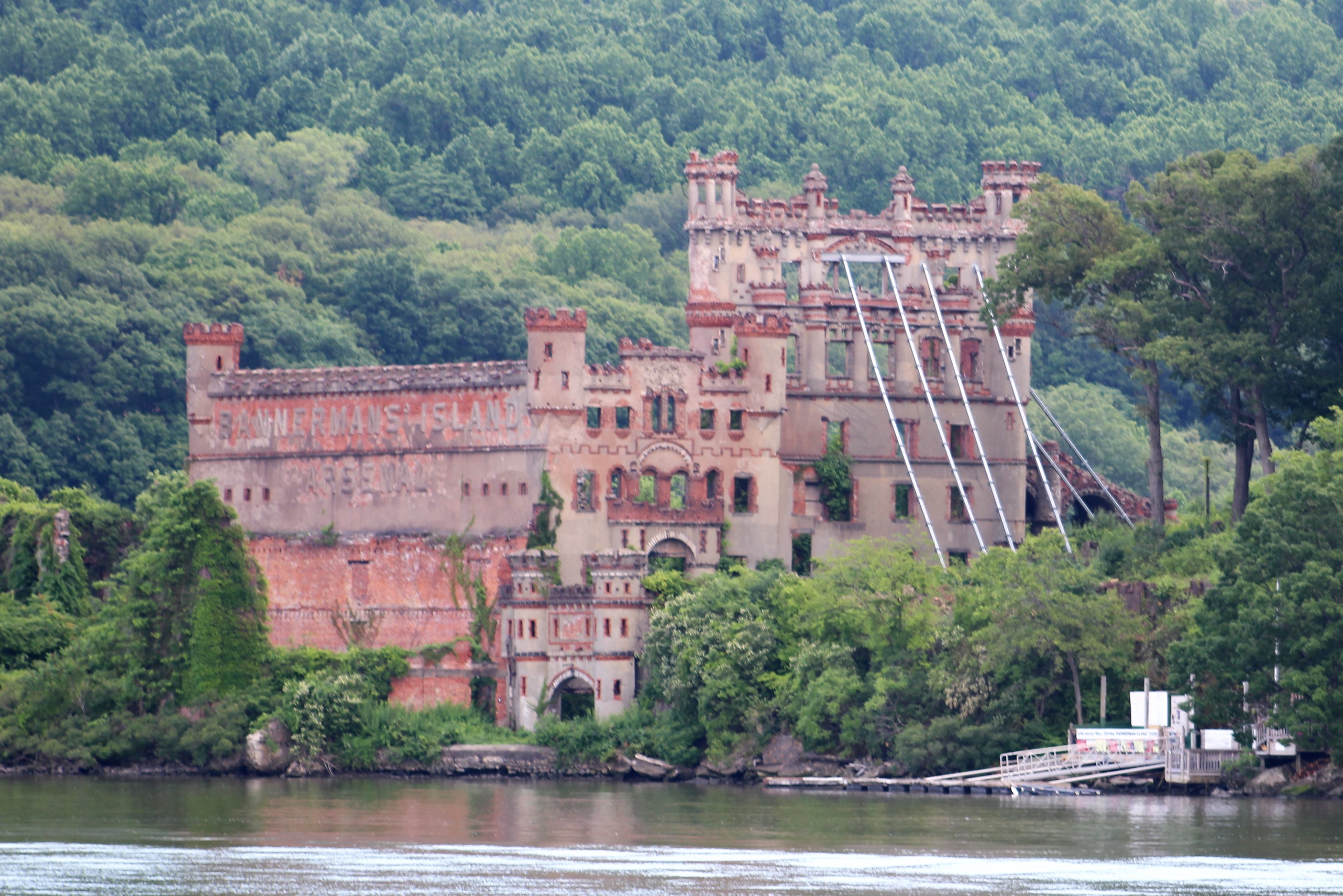
- Where are 5 barges, made of concrete during WWI?
- What is a ‘Boiling Pot’
- When and Where did Remington start his ‘Arms’ Factory
At the Box Office
This week we have two videos to share. The first features Sea Horse as she navigates Erie Canal Lock E2.
The second feature shows Still Waters II on the dock with other Looper boats. Then she watches as they leave the dock and pass through Lock E2. She enjoys a ski show off her bow in Scotia, and explores Canajoharie Creek. Enjoy!
To see past videos, click on the link to the Still Waters II Vimeo site. The library contains videos of Still Waters II cruising America’s Great Loop.
Sunday, July 1st
The crew broke with tradition and decided to travel a short distance on Sunday, and take a rest day on Monday. The main thing which drove this decision was the heat wave that has descended on upstate New York. The temperatures and heat index will be more comfortable on Sunday, than on Monday, to be out on the boat motoring around and locking..
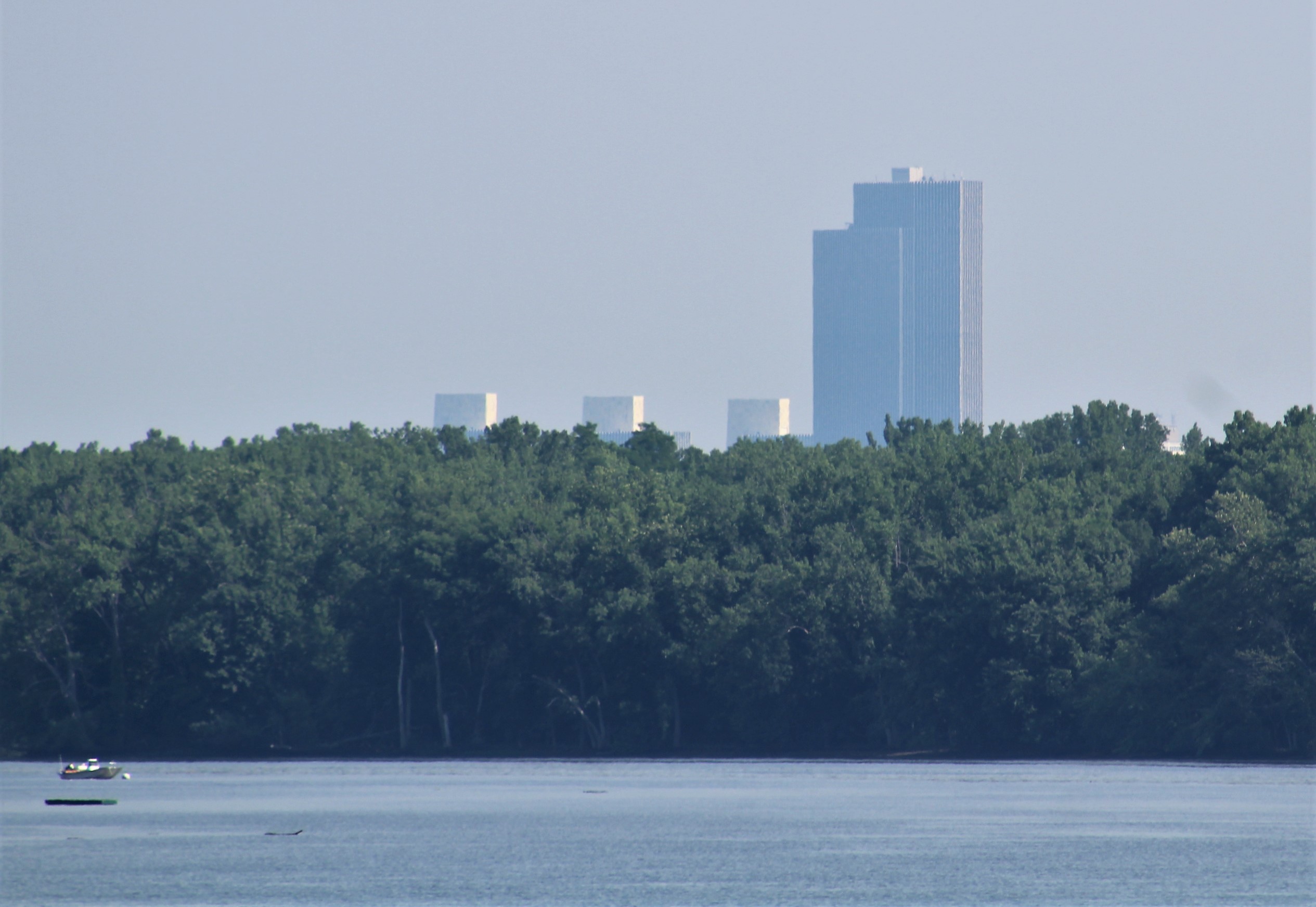
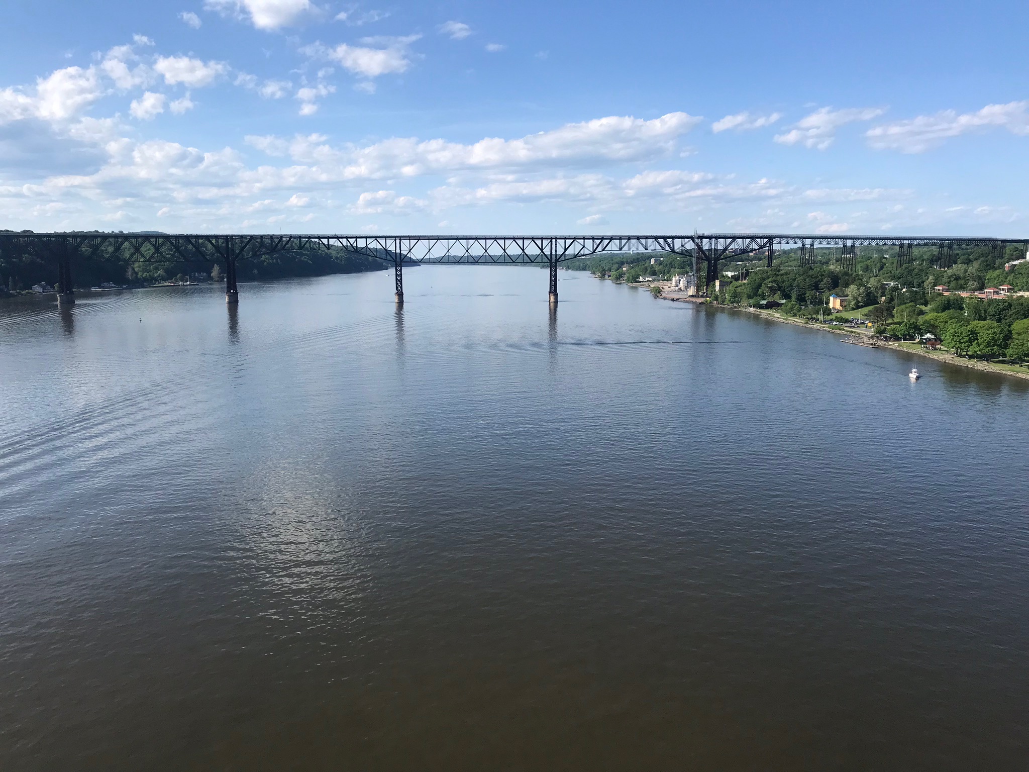
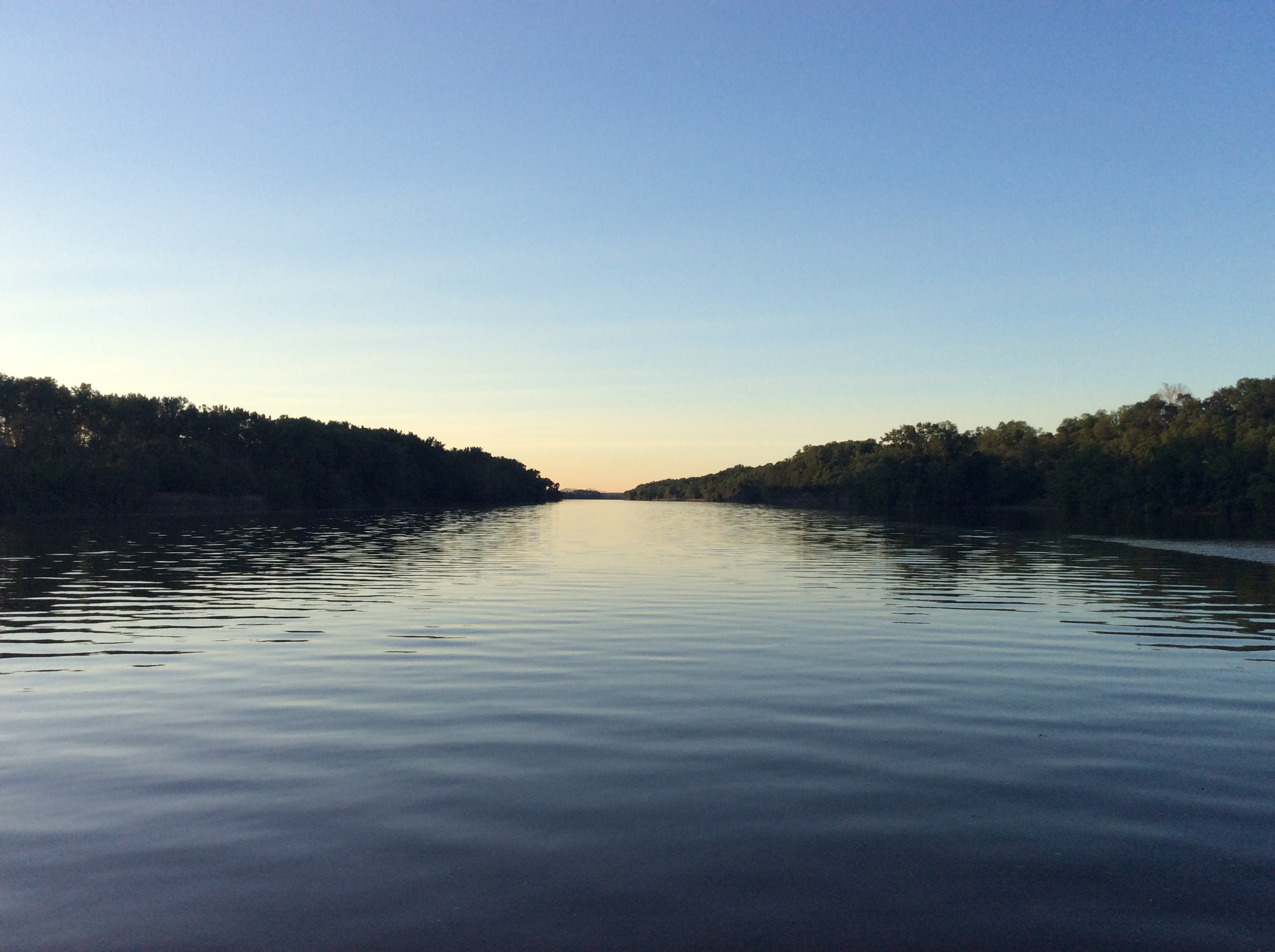
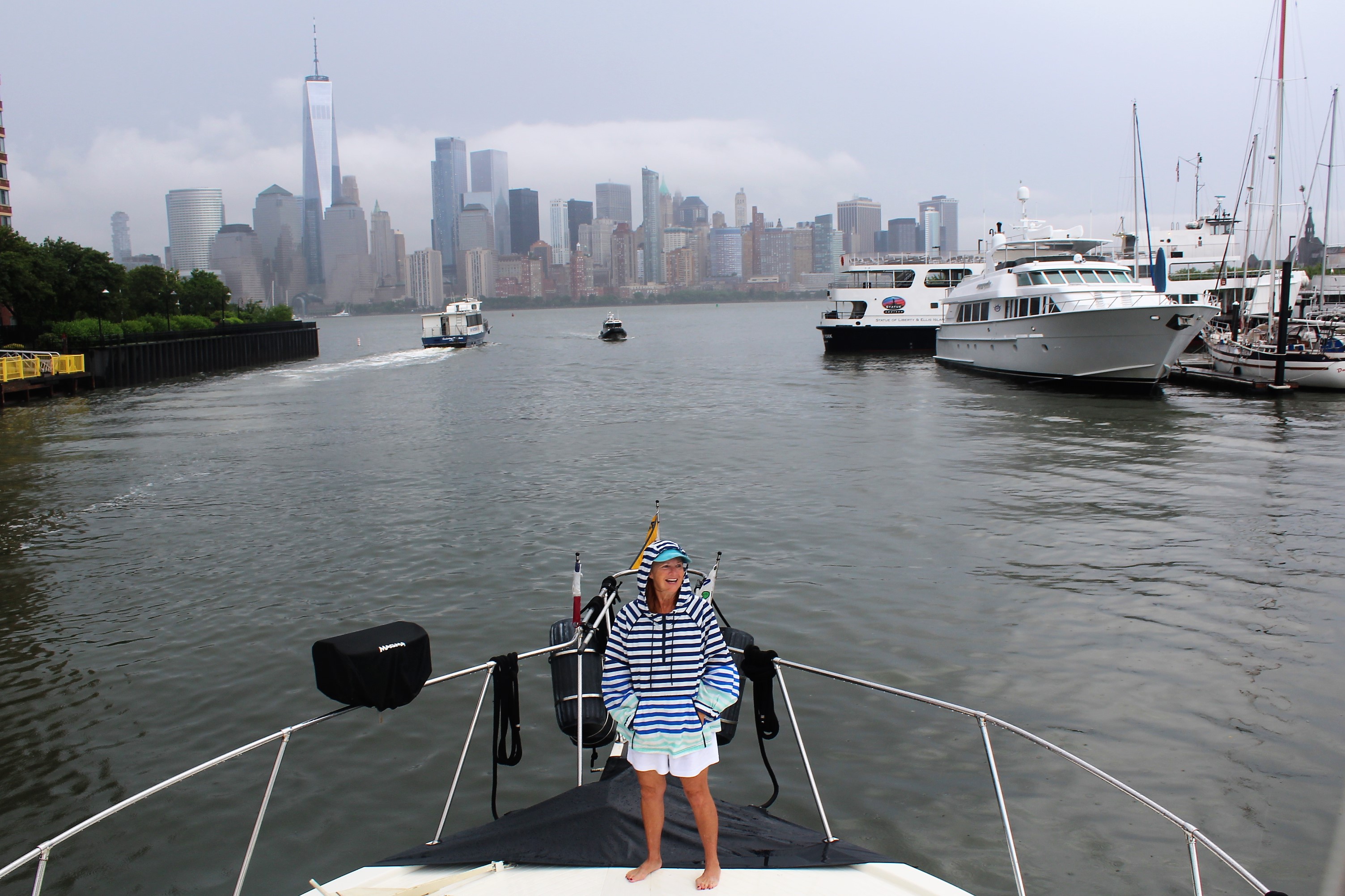
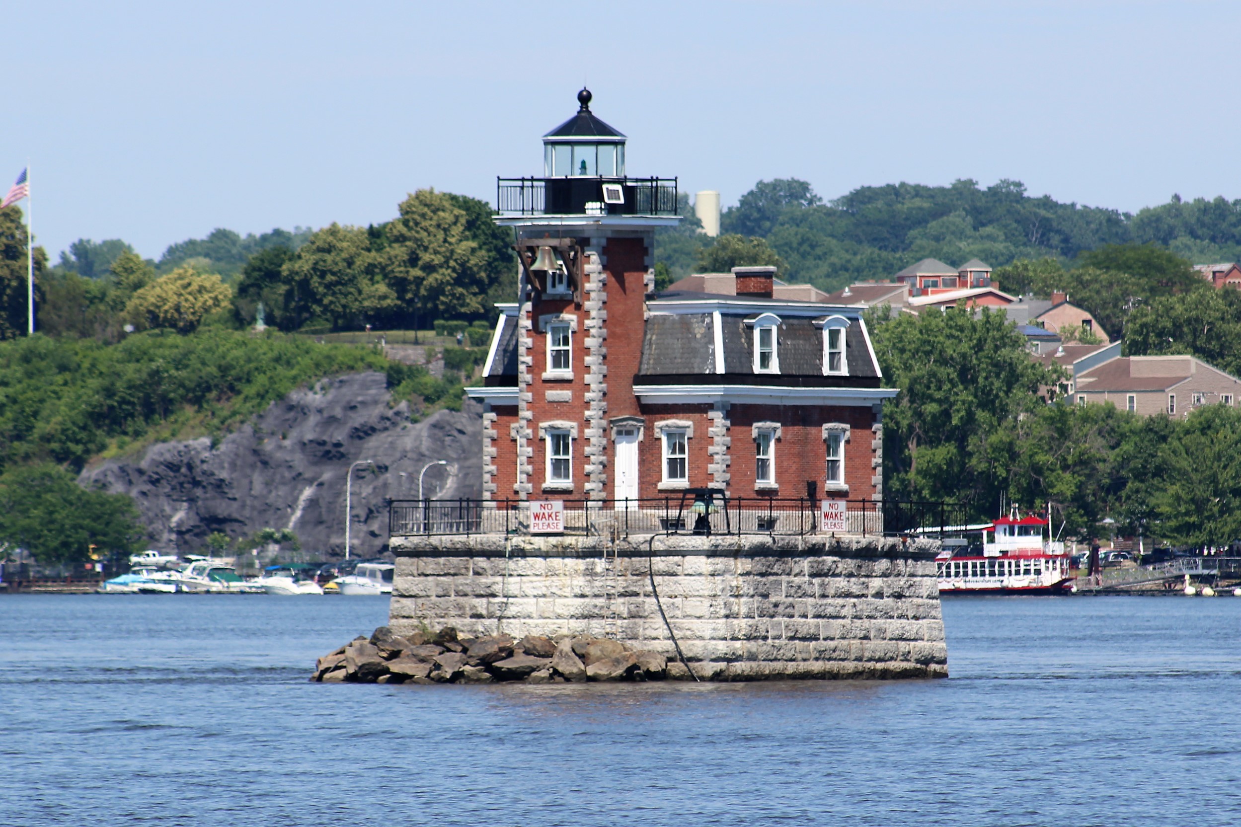
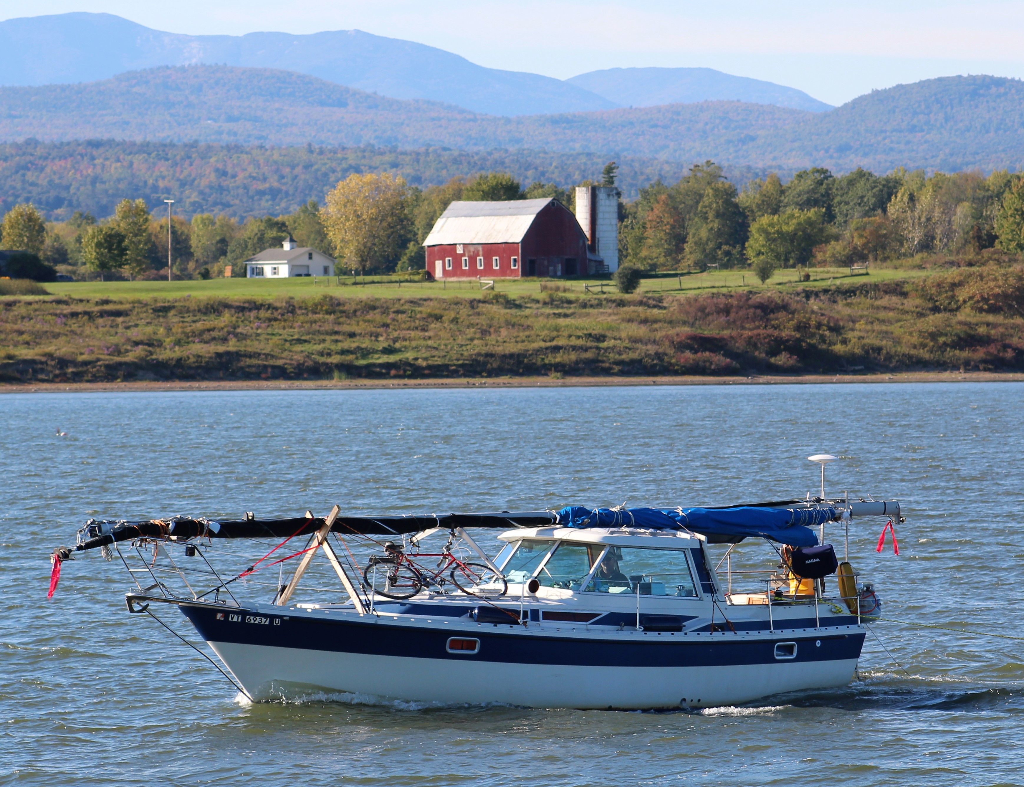
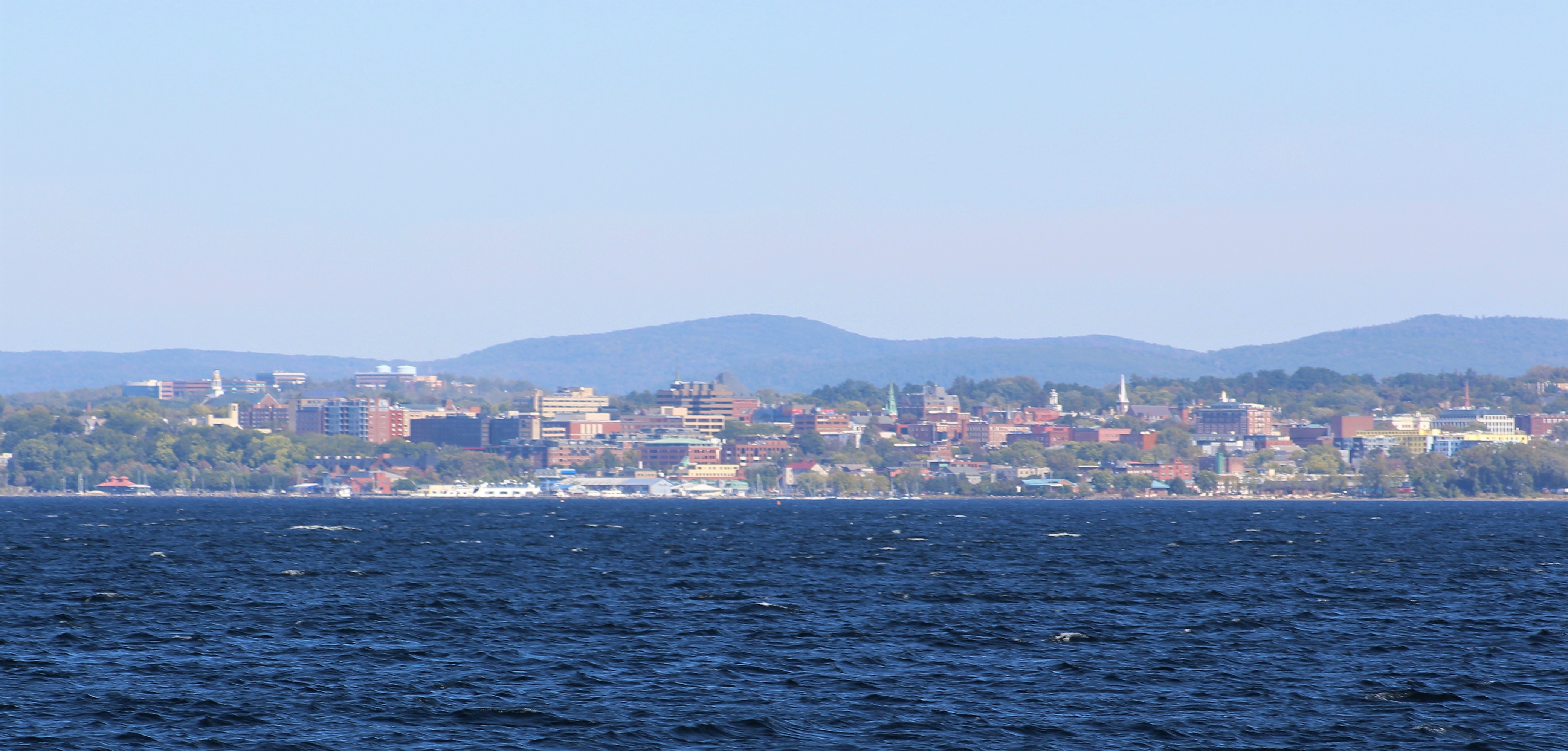
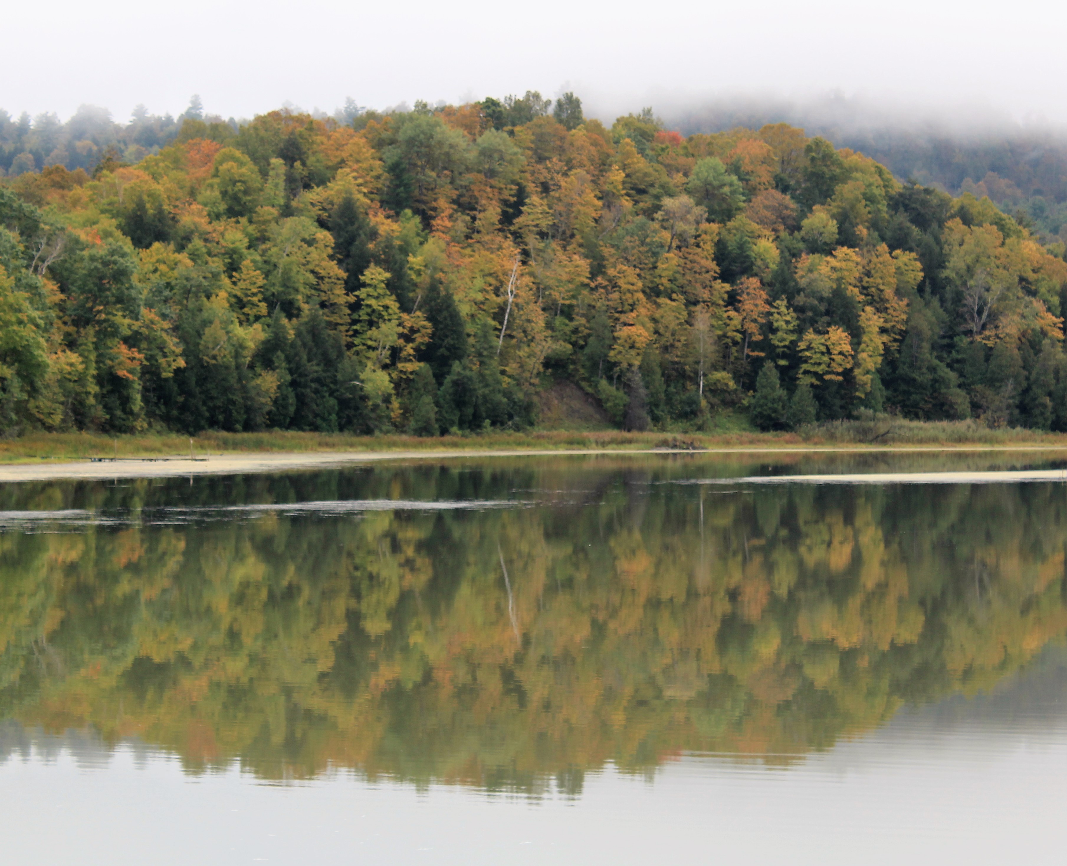
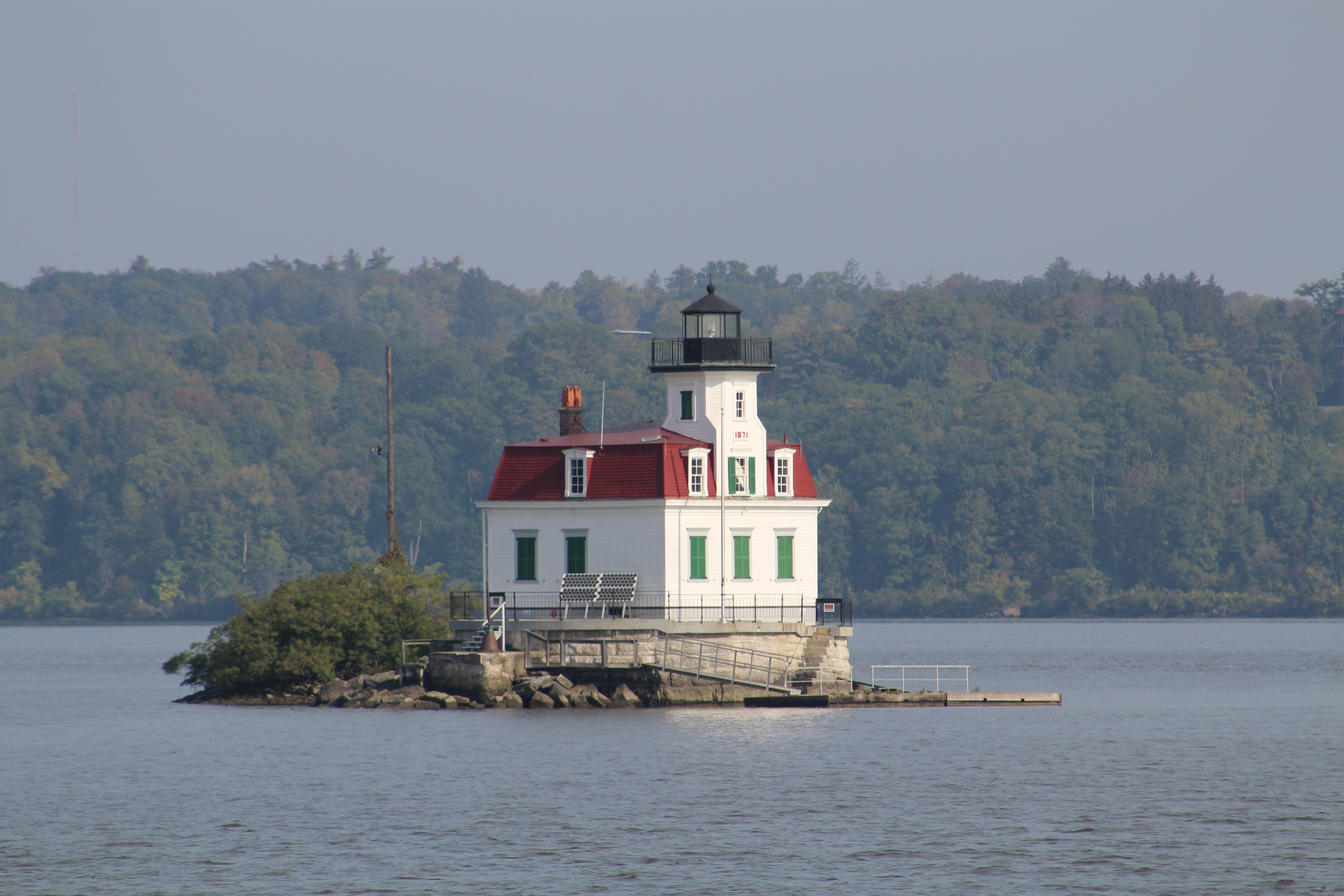
First site of Albany from the water.
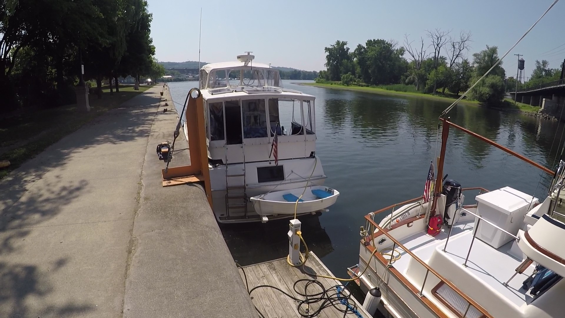
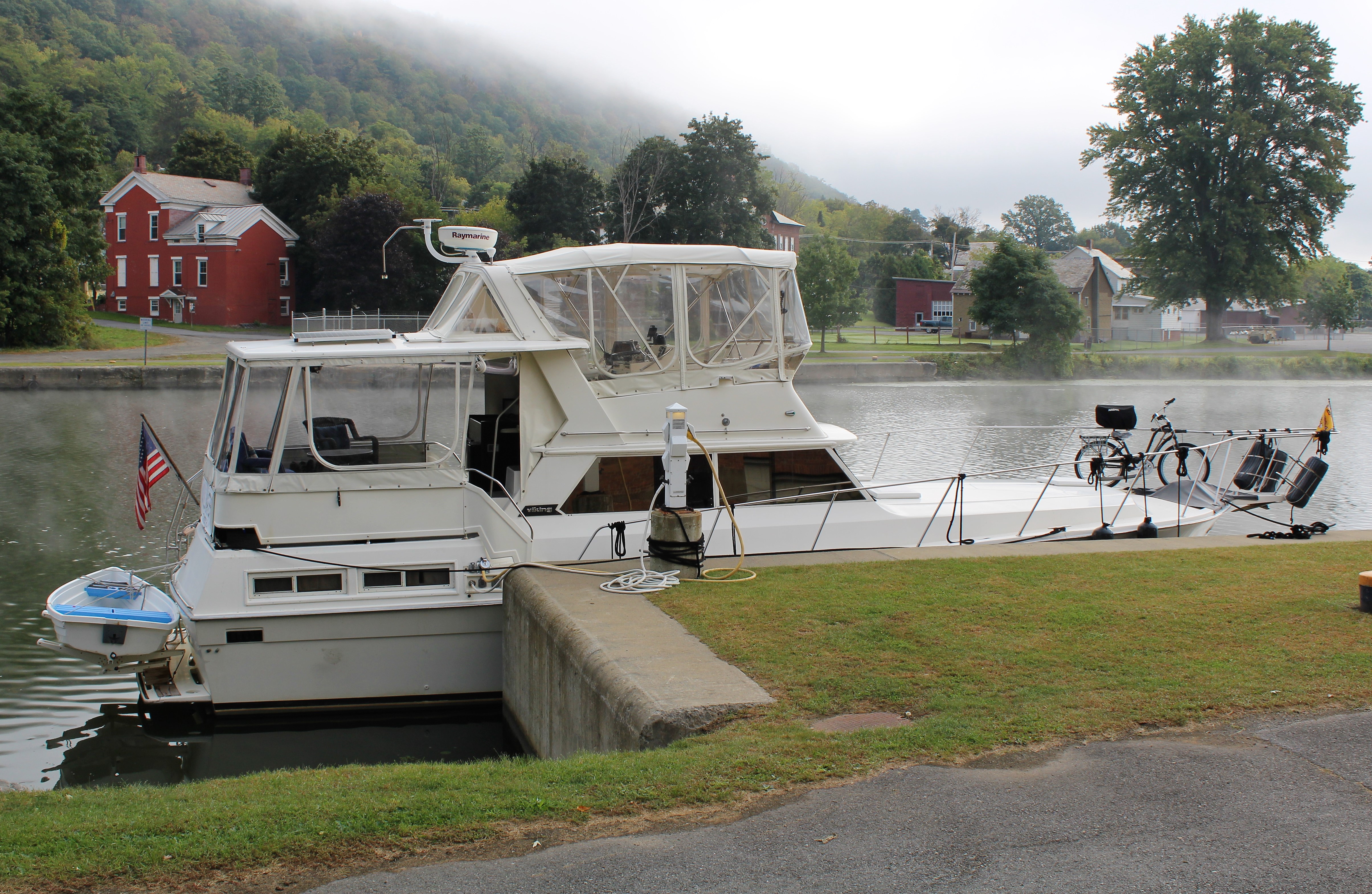
The crew traveled only a short 26 miles to arrive at the Waterford Welcome Center before noon. The 50 amp power locations were already taken along the dock. But the skipper noticed that the first power pedestal at the end of the dock had an available 50 amp plug with his name on it. He swung the boat around and backed up to the end of the dock and tied up along the concrete wall. The crew managed to deploy the power cable over to the dock and secured 50 amp power which means they can run both air conditioners as the temperature rises to 100 degrees.
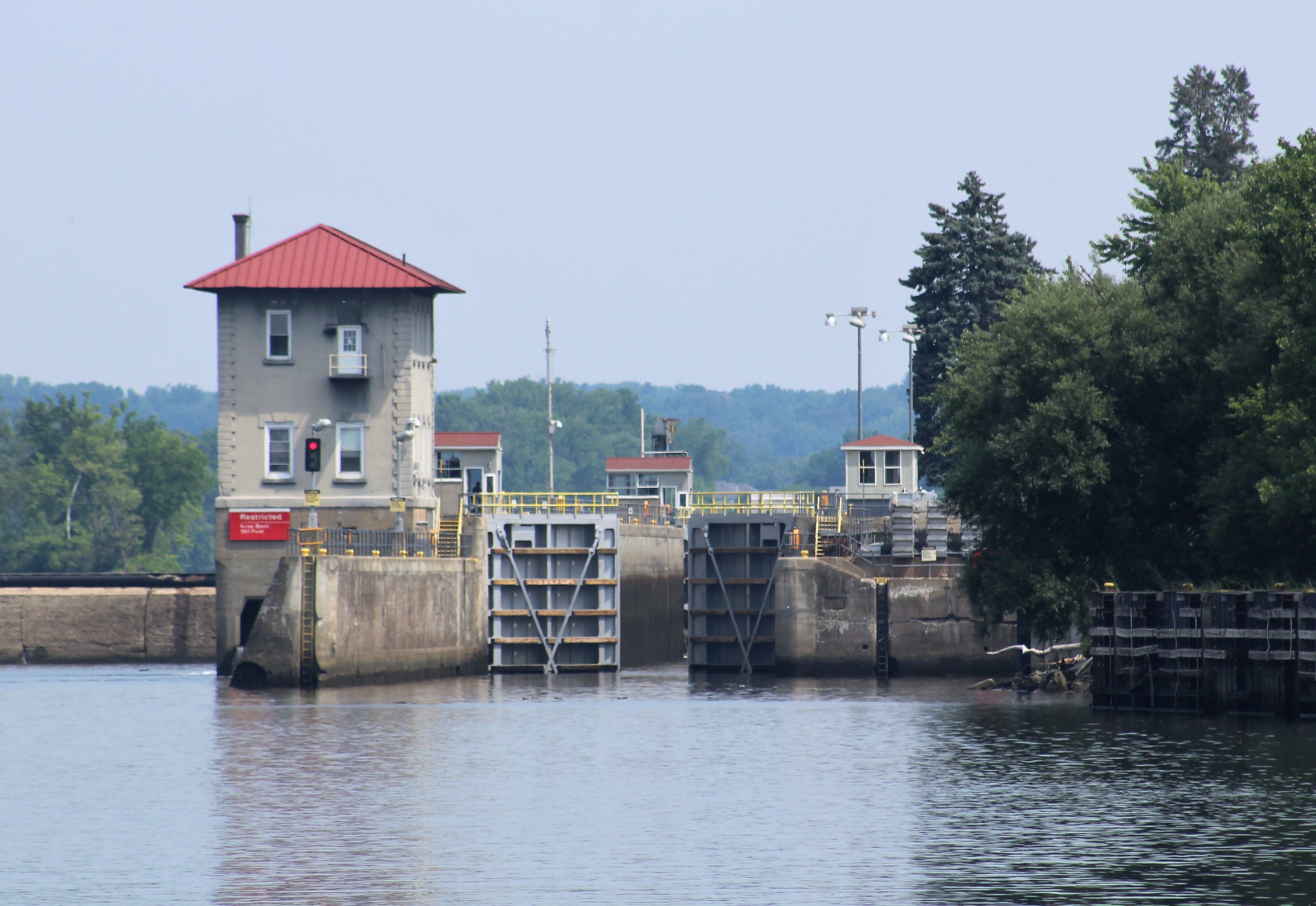
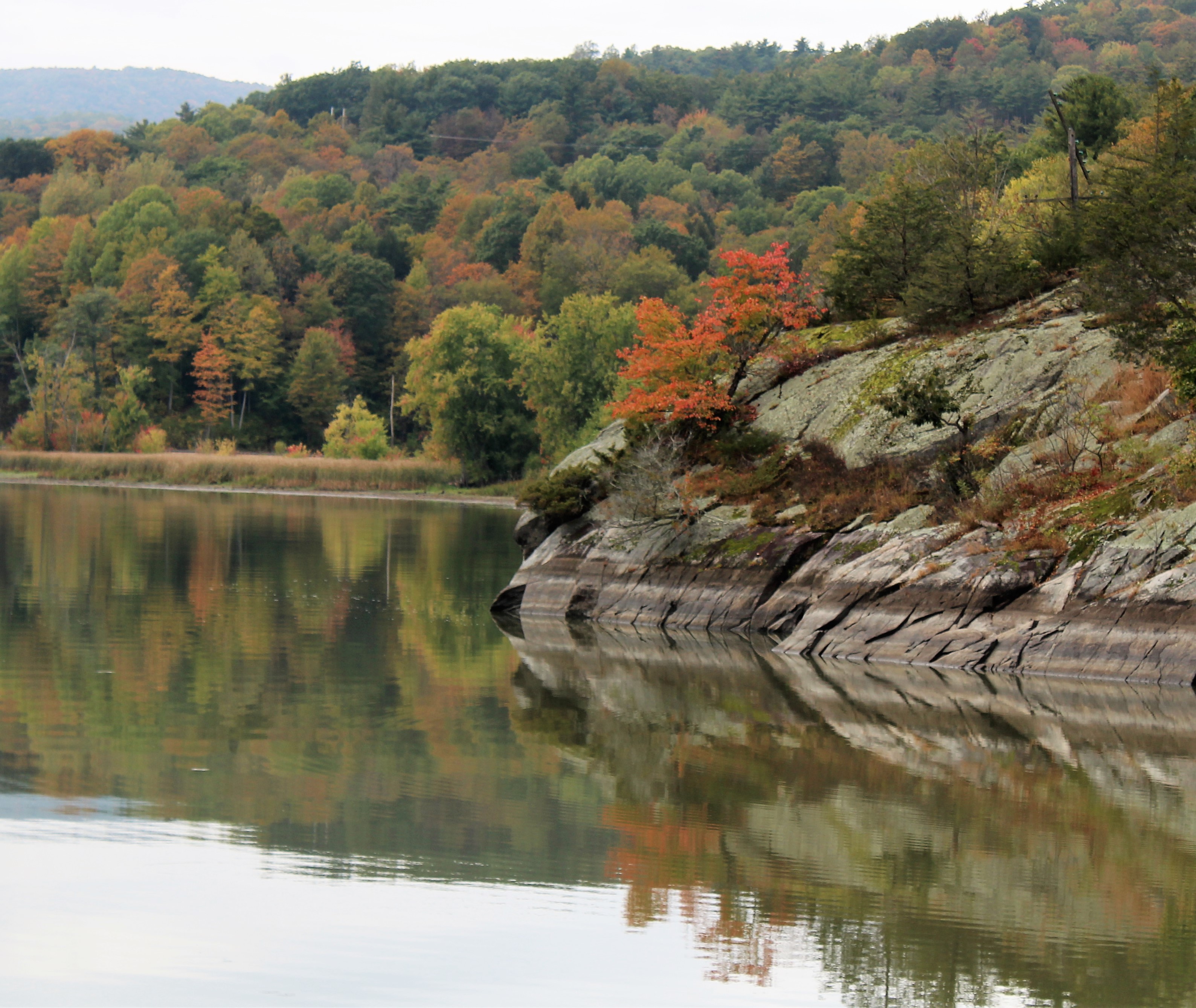
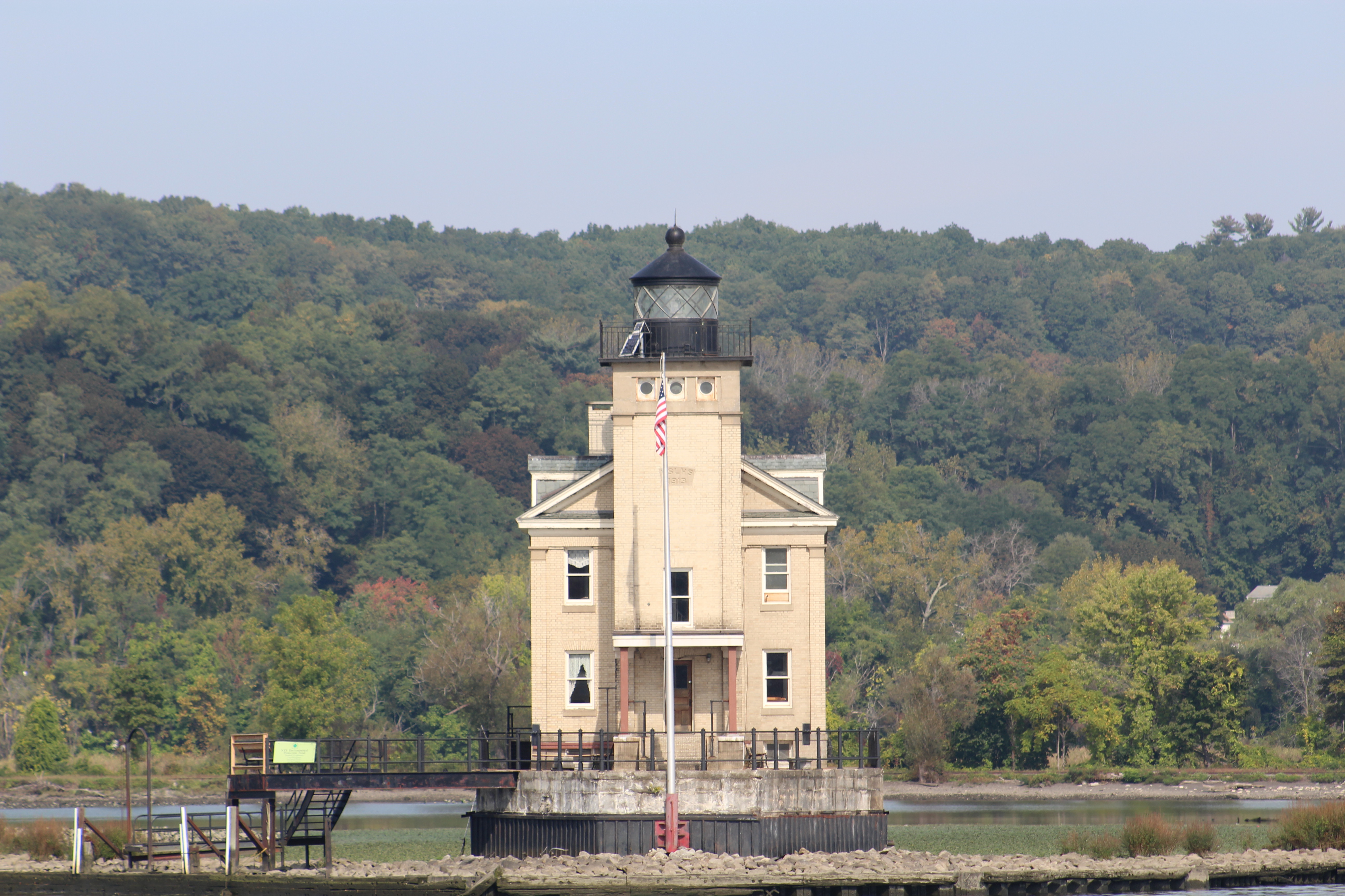
The Federal Lock just before Waterford
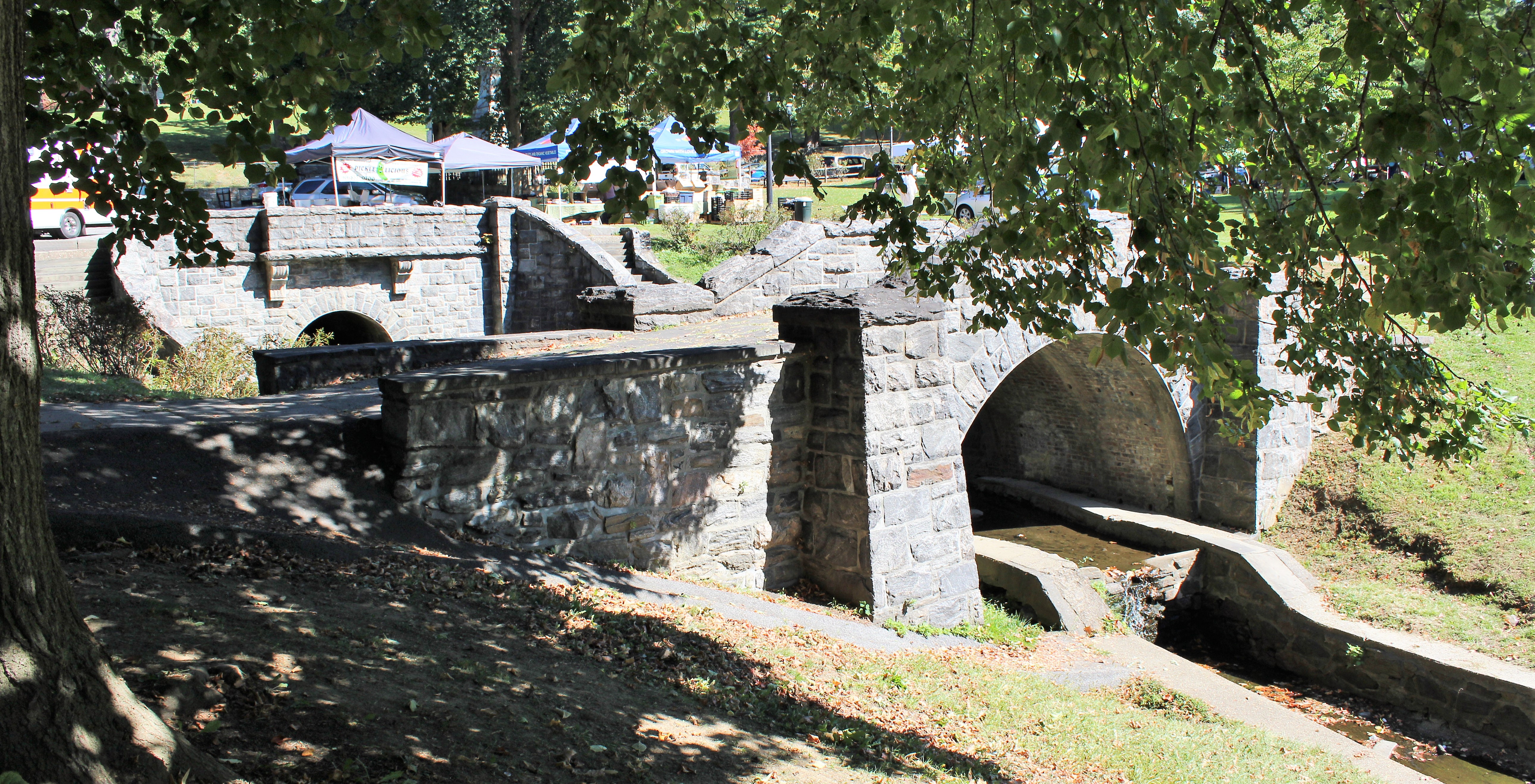
Upon arrival at The Welcome Center, the skipper noticed they had a Farmers Market that was in full swing. However, he quickly learned the Market would close at 1300. After the boat was secured the Admiral was off in search of fresh farm raised tomatoes. She procured some tomatoes and some strawberries for the crew. The skipper, well he purchased some maple syrup coated pecans.
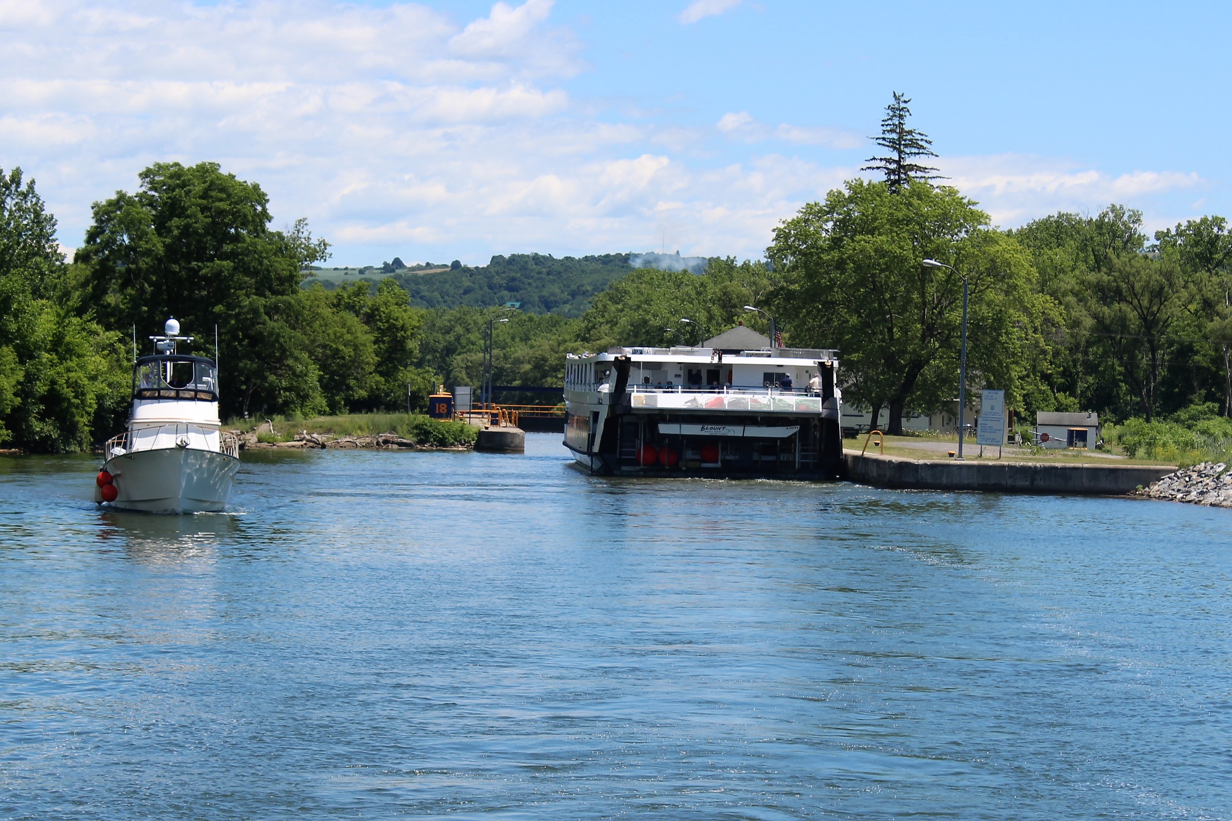
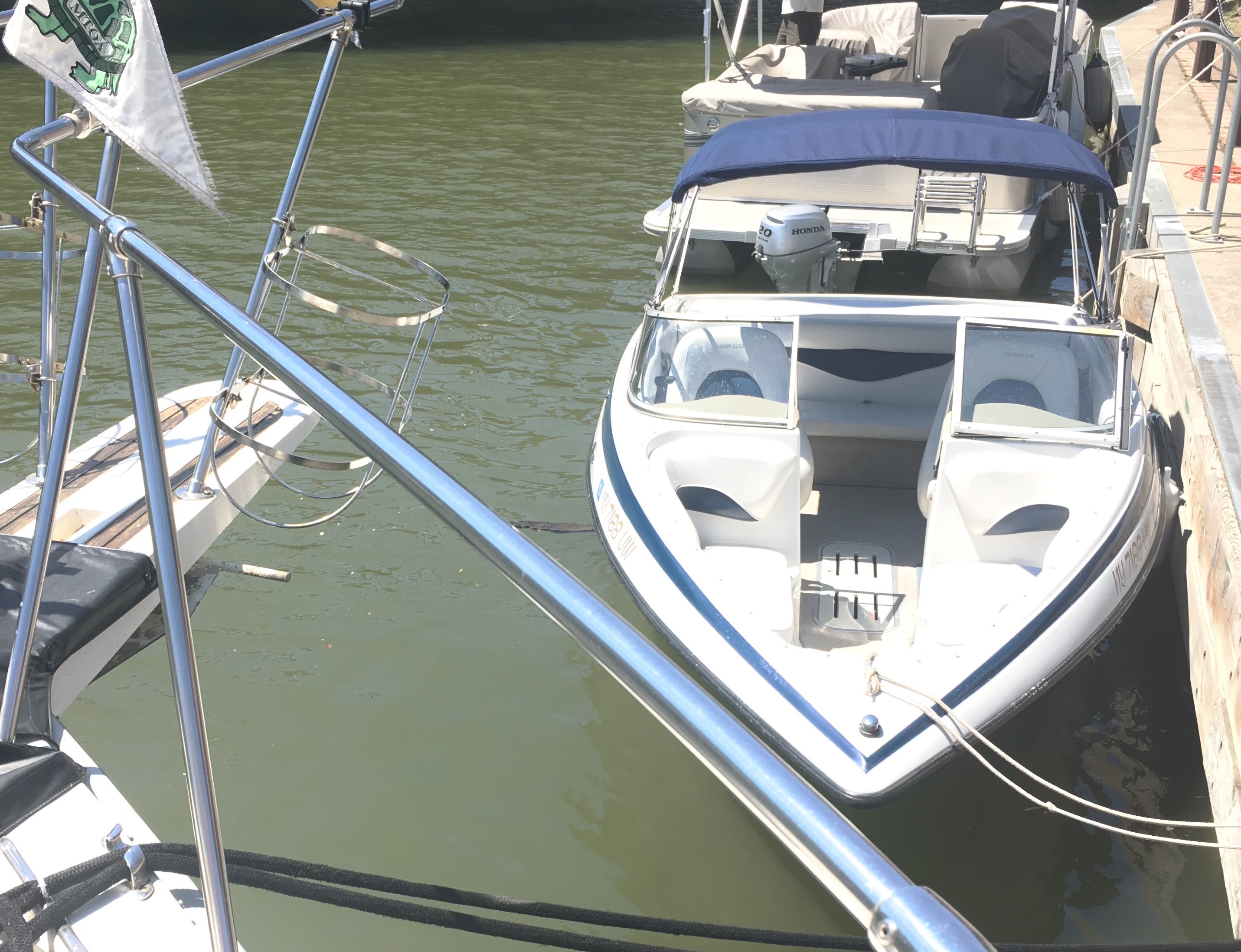
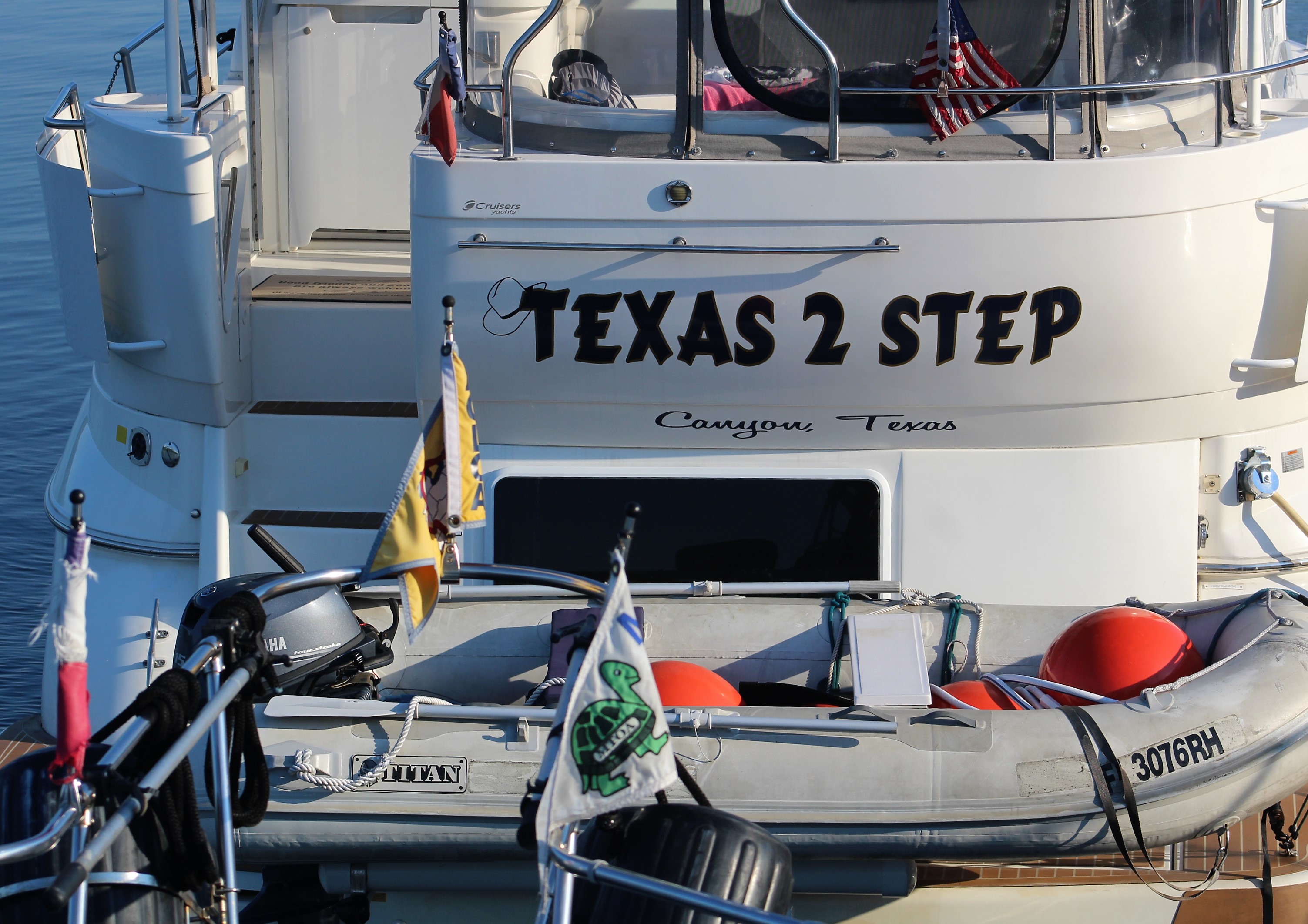
There are five Looper boats at the Welcome Center. Three of which are from Texas. The crew hopes to meet them all before they launch the Erie Canal Cruise on Tuesday.
Monday, July 2nd
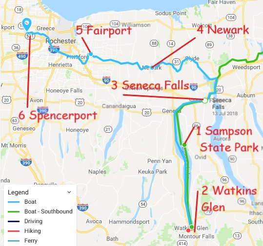
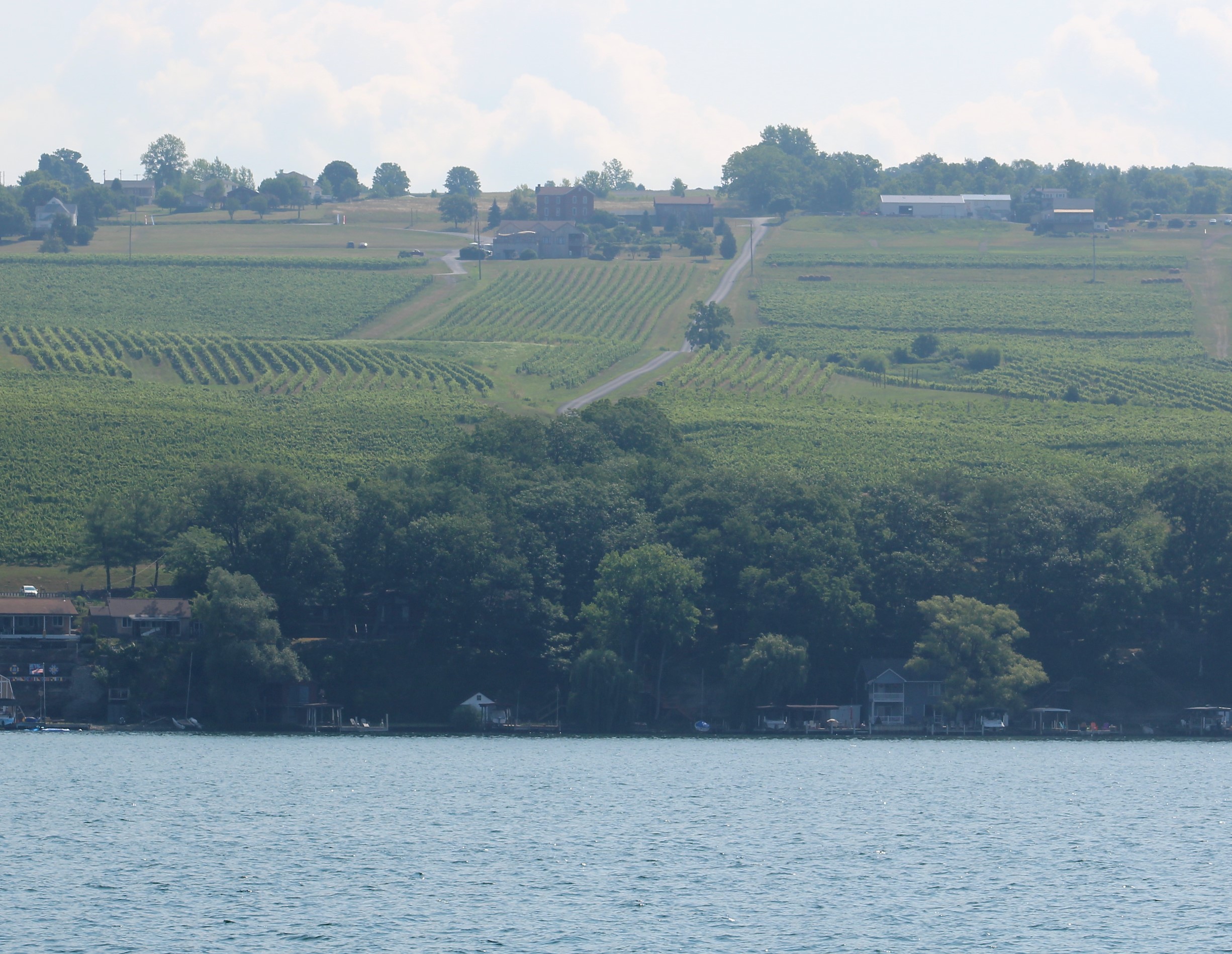
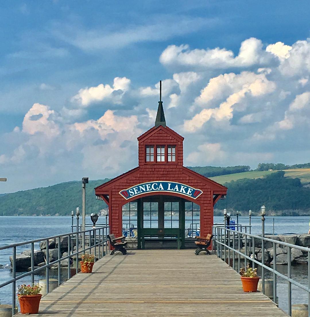
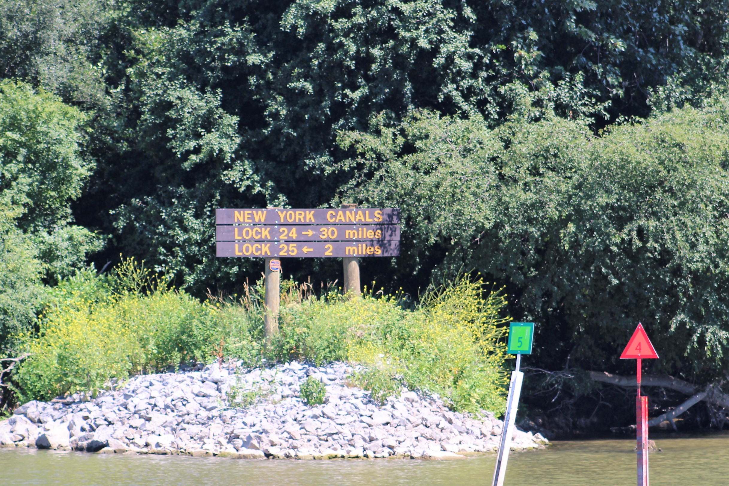
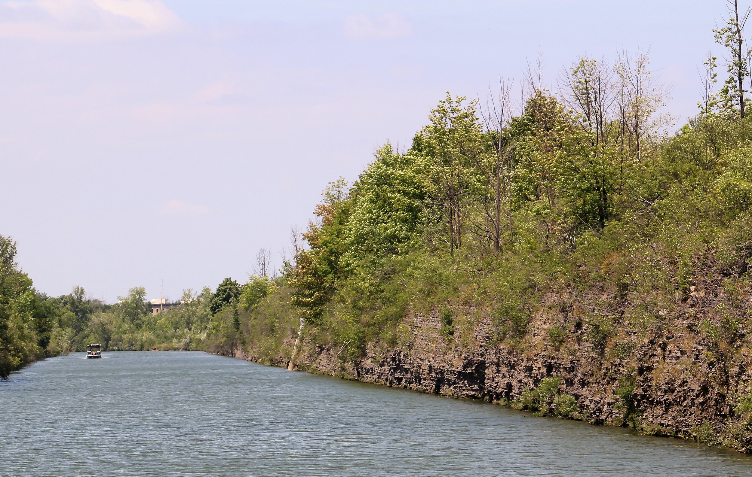
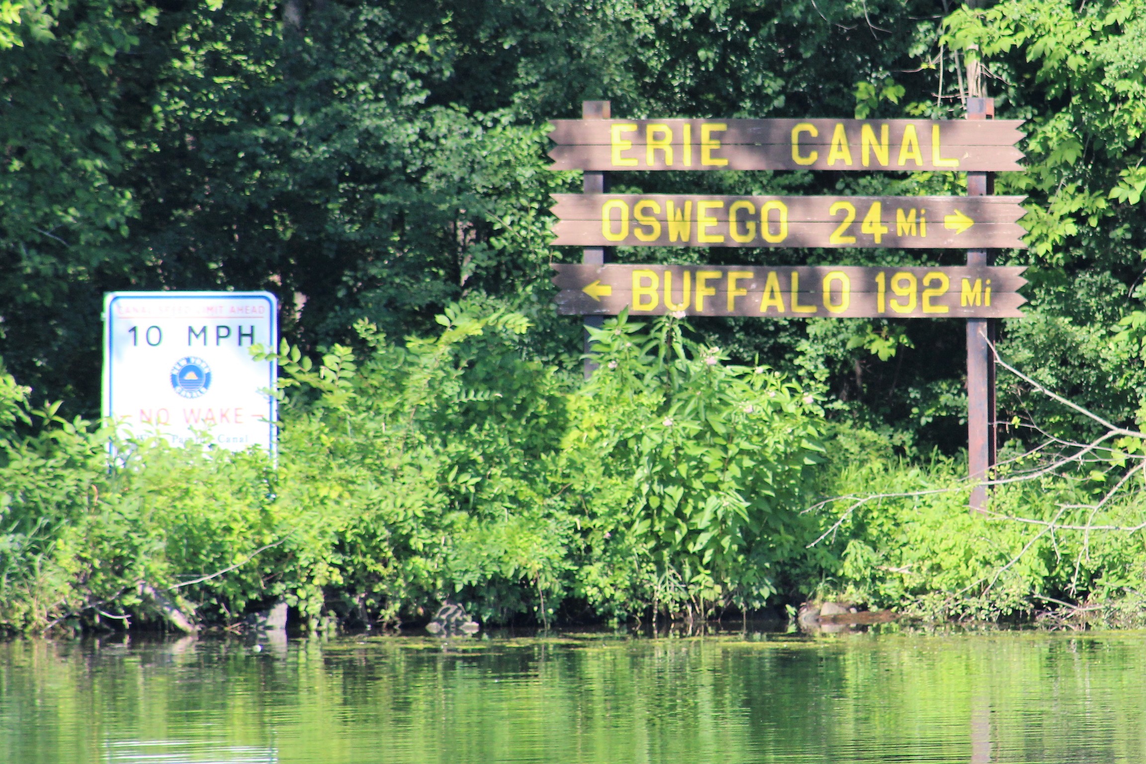
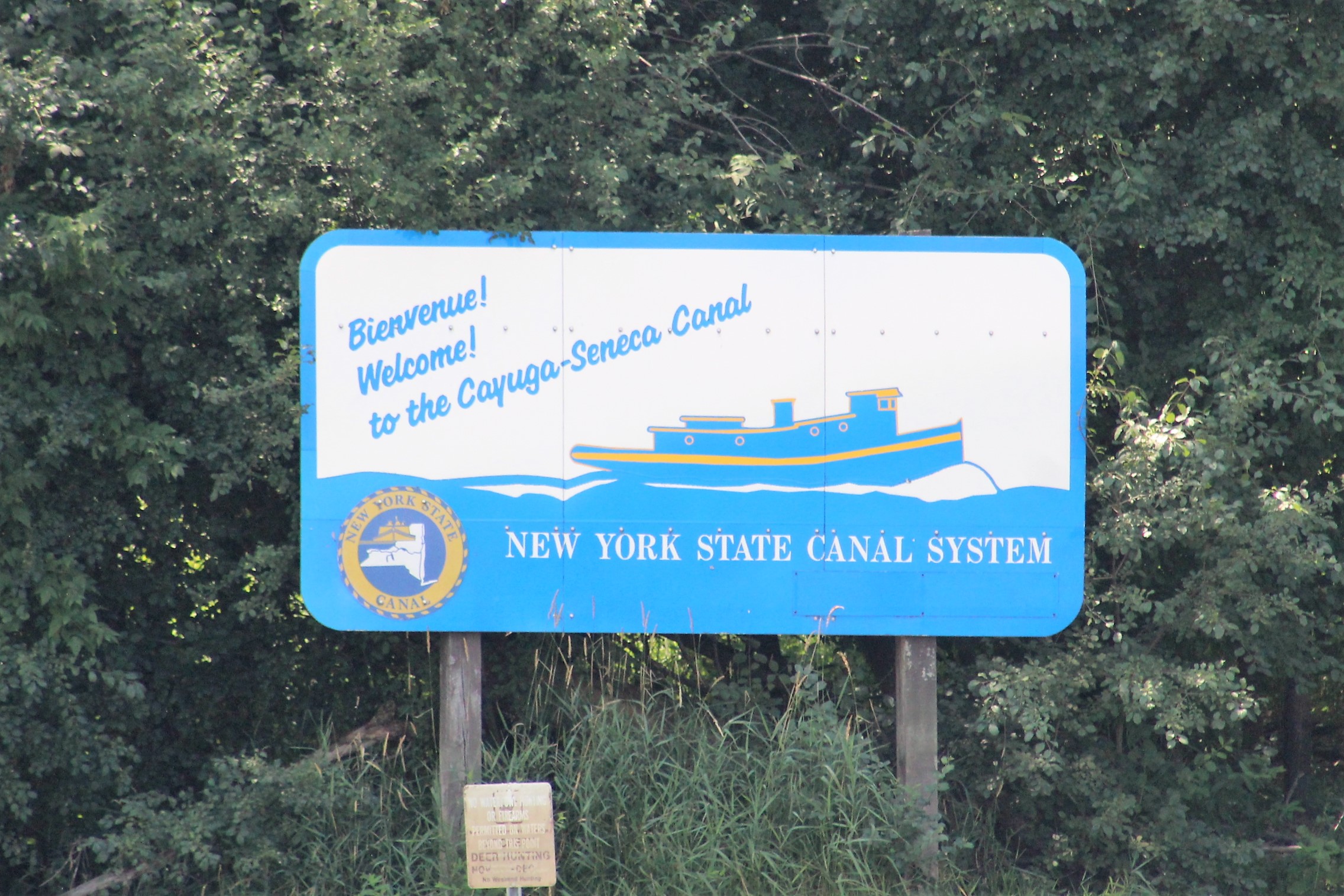
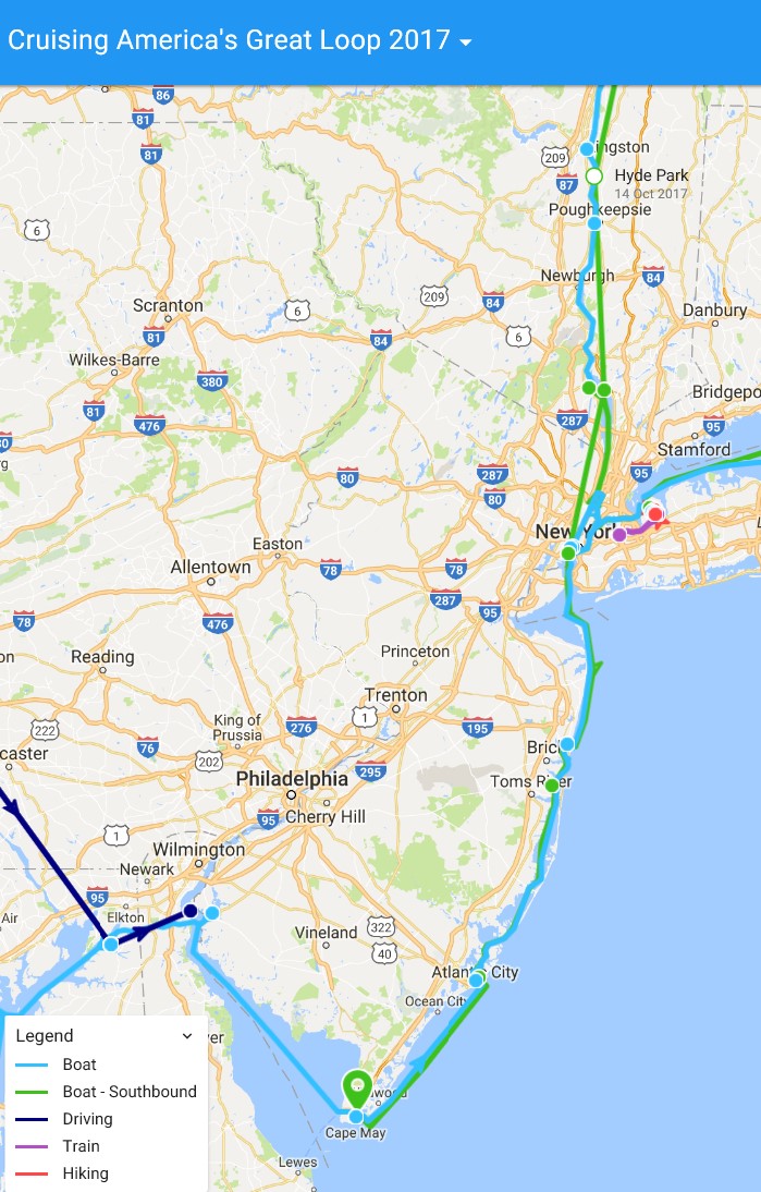
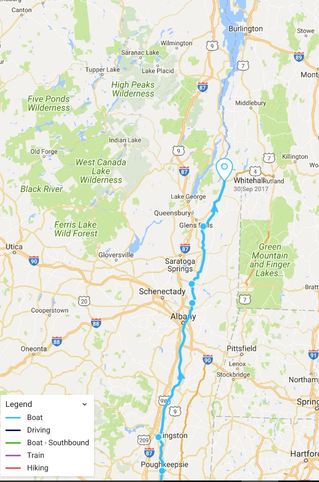
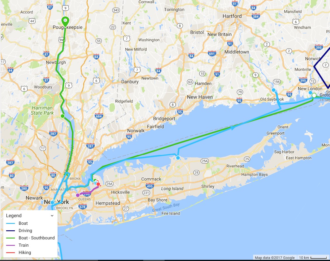
The crew plans to travel from Waterford to Buffalo – on the New York Canal System, a distance of 352 miles. However, there are 524 navigable miles of waterways in the System. The canals that make up this System are the Erie, Cayuga-Seneca, Oswego, and Champlain.
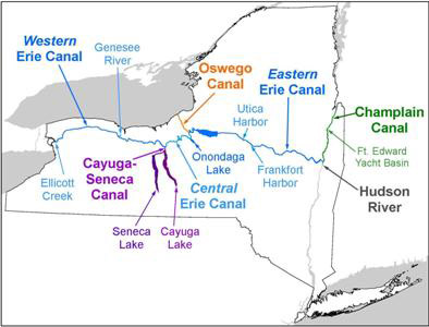
The crew has navigated the eastern Erie, Oswego, and Champlain Canals. This year they will run the eastern Erie again, then the Cayuga-Seneca, and then complete the western Erie. When they arrive in Buffalo, they will have completed all 524 miles of the system.
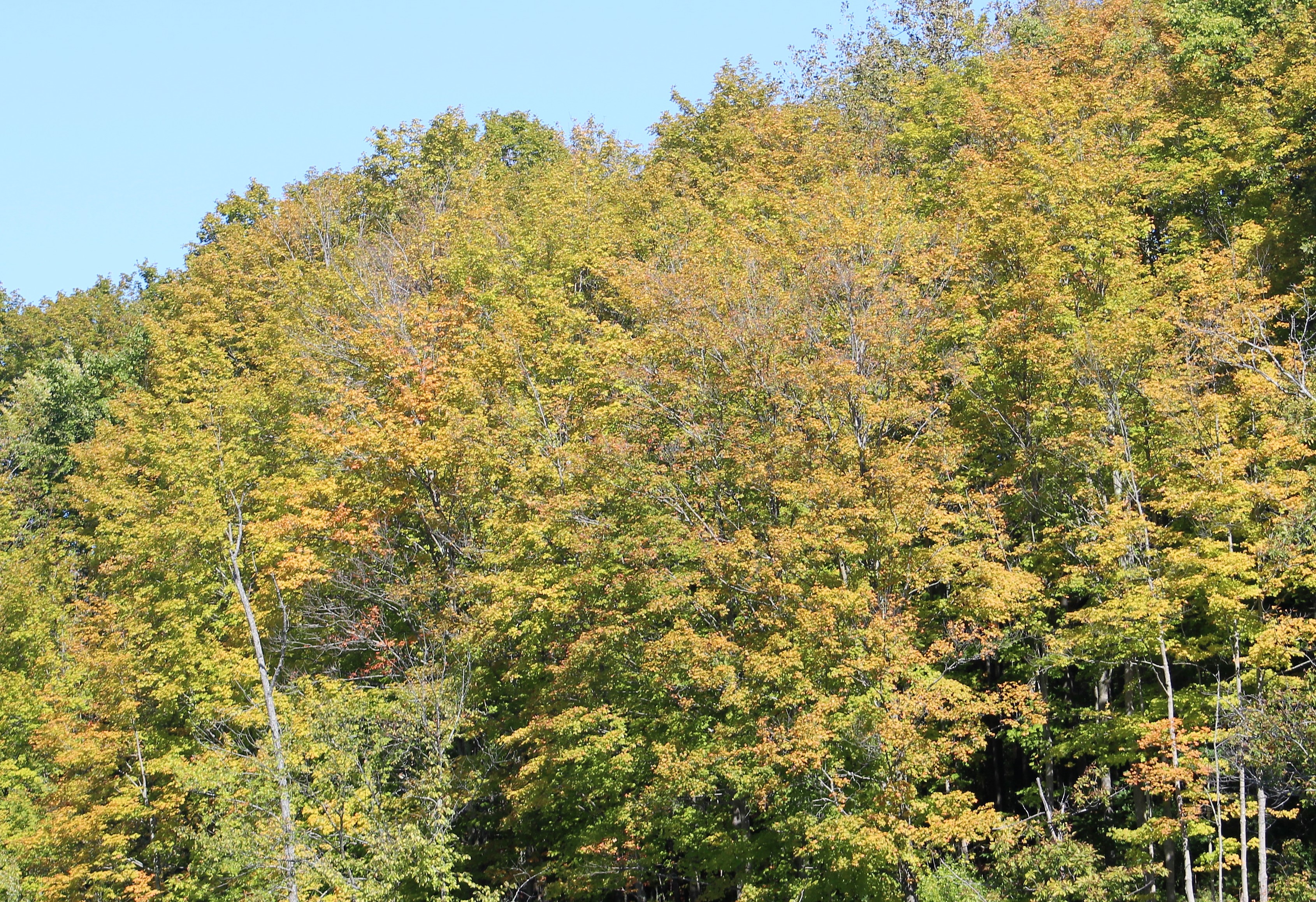
The present day Erie Canal has three distinct periods. The original canal was begun in 1817, and opened for commercial navigation in 1825. You may recall that last year when the crew cruised the Champlain Canal, the system was celebrating their 200th birthday, and the state of New York gifted the recreational boaters with free access to the canals.
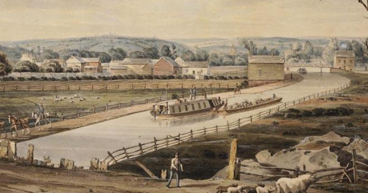
Original Erie Canal with mules pulling the barges
The second period began in 1862 and is referred to as the Enlarged Erie Canal. By 1918, the mules and tows were no longer needed, and were replaced with motorized vessels which required deeper wider canals. The modern canal abandoned many of the old canal routes and locks, and used existing rivers.
And guess what, the system is celebrating the 100th Birthday of the modern canal system during 2018. And yes, once again the state of New York has gifted free access to recreational boaters for the 2018 season. FOG!
The Erie Canal by the numbers:
- 524 navigable miles of waterway
- 34 National Historic Landmarks
- 24 New York State Parks
- 11 State Wildlife Management Areas
- 9 New York State Historic Sites
- 4 National Park units
- 4 National Natural Landmarks
- 2 National Wildlife Refuges
- 2 New York State Bike Routes
- 1 National Forest
- 1 National Scenic Trail
So much to see and do,………. so little time.
Tuesday, July 3rd
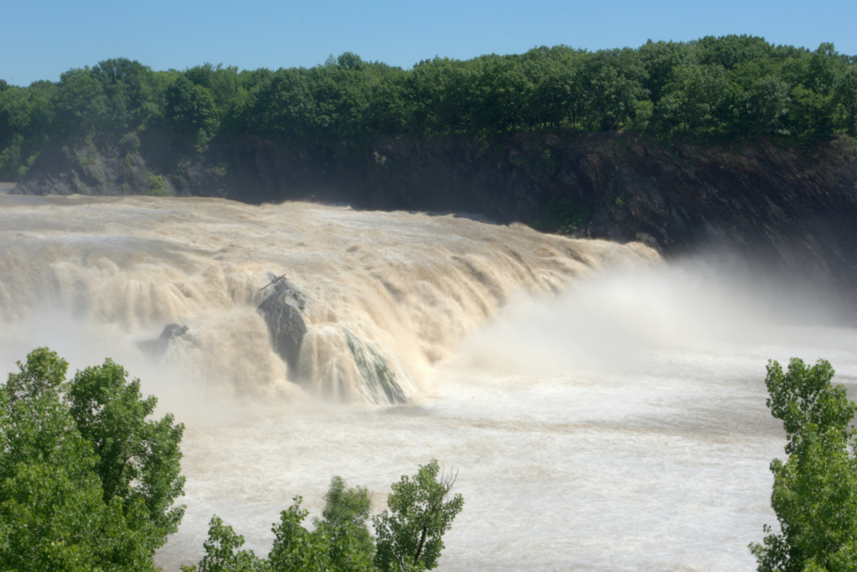
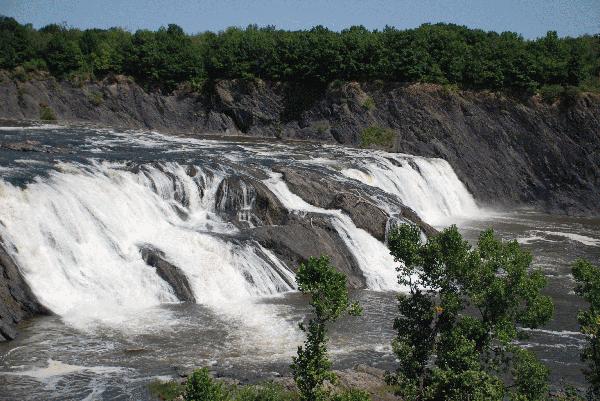
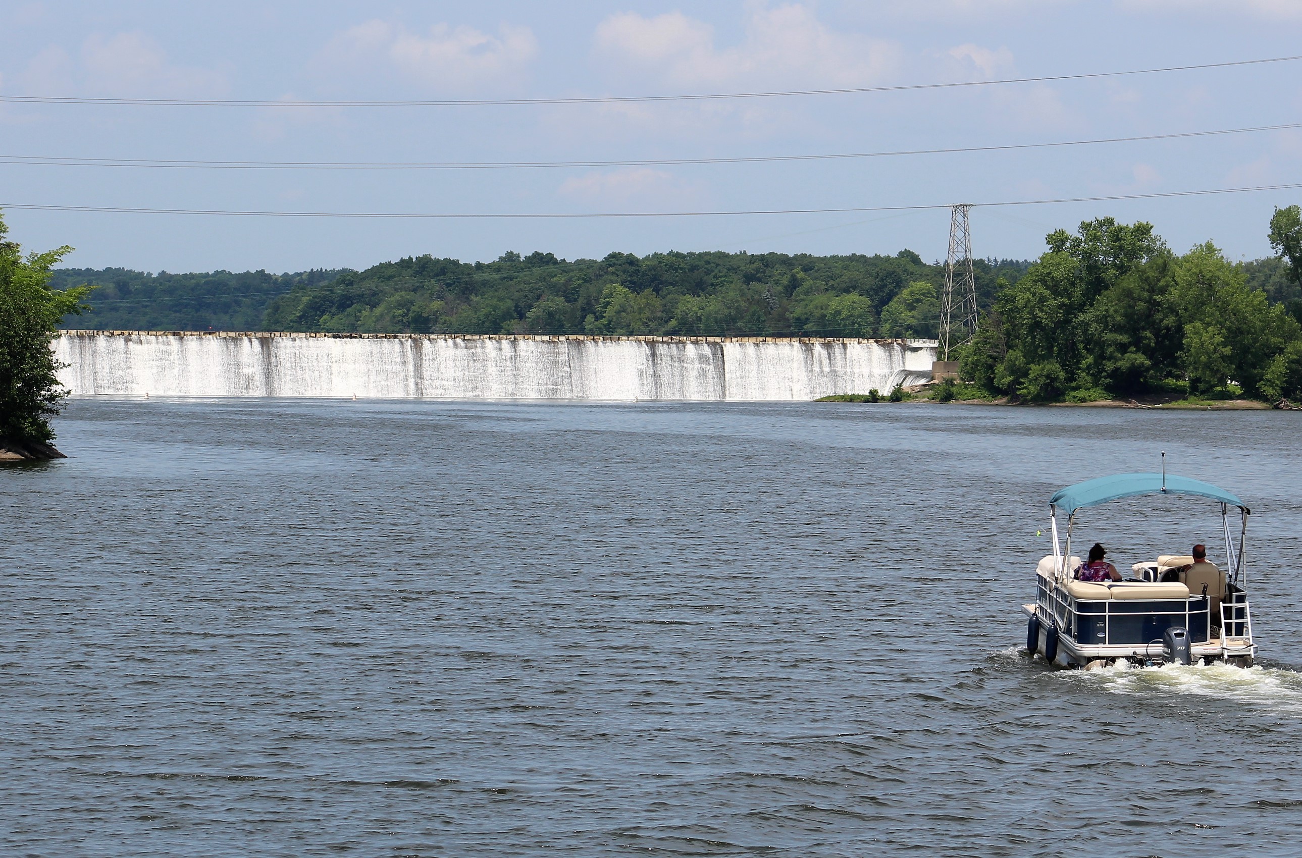
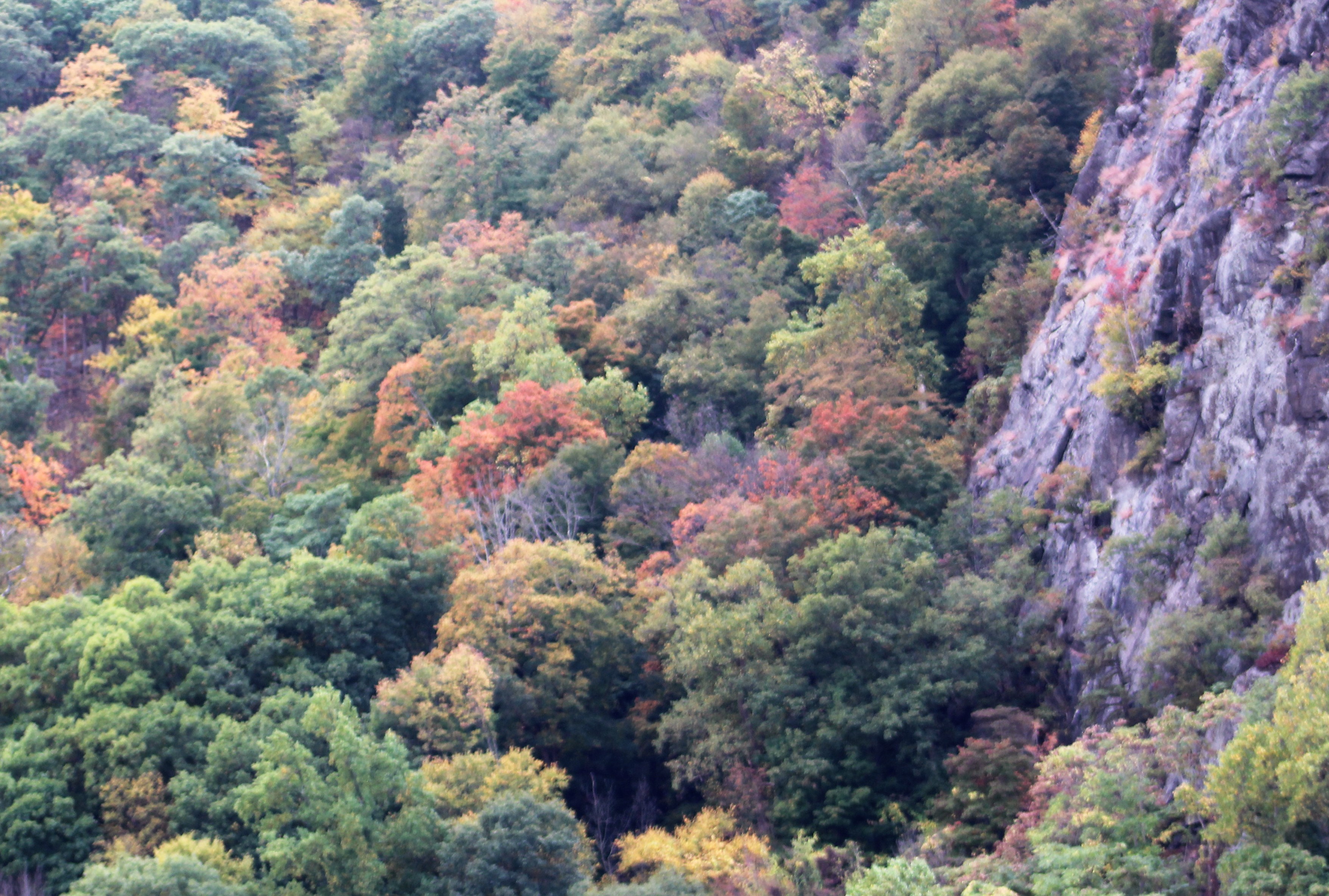
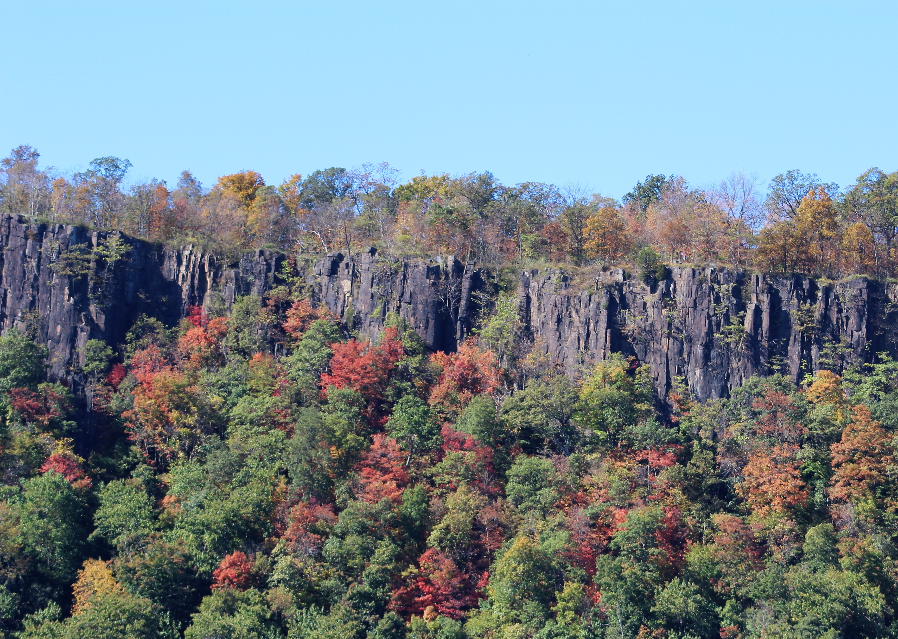
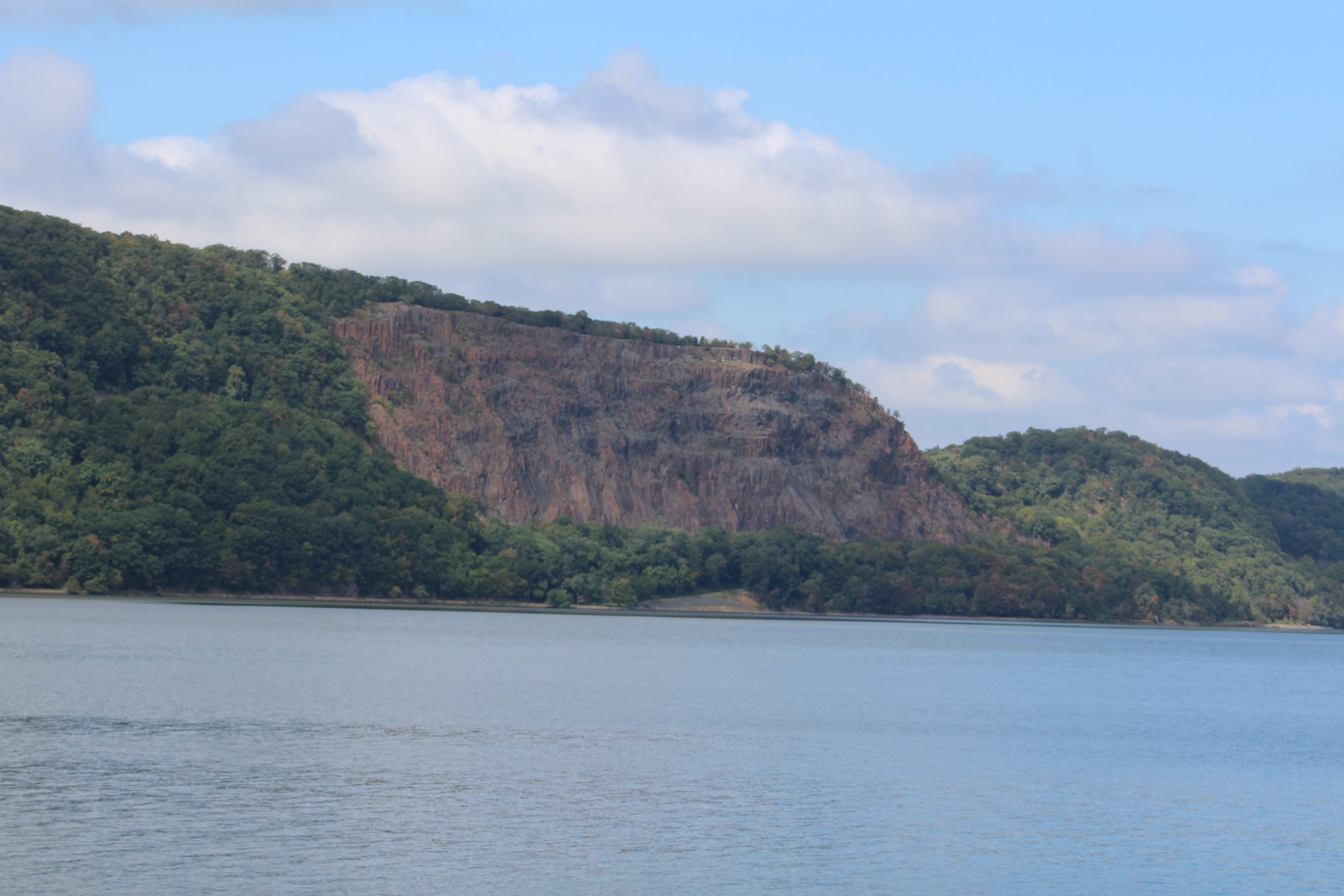
Ever heard of Cohoes Falls? Probably not. However, believe it or not, it is actually larger than its big sister at the other end of the Erie Canal, American Falls at Niagara Falls.
Cohoes Falls at full flow
Cohoe Falls in late Spring
Comparing Cohoes Falls to Niagara Falls:
Width
Cohoes – 1,000 feet
Niagra – 830 feet at American Falls
Height
Cohoes – 75-90 feet
Niagra – 70-110 feet
Water Flow
Cohoes – 0 – 90,000 cubic feet per second
Niagra – 5,000 – 21,000 cubic feet per second
Tourism
Cohoes – no tourist industry
Niagra – tops 28 million tourist per year
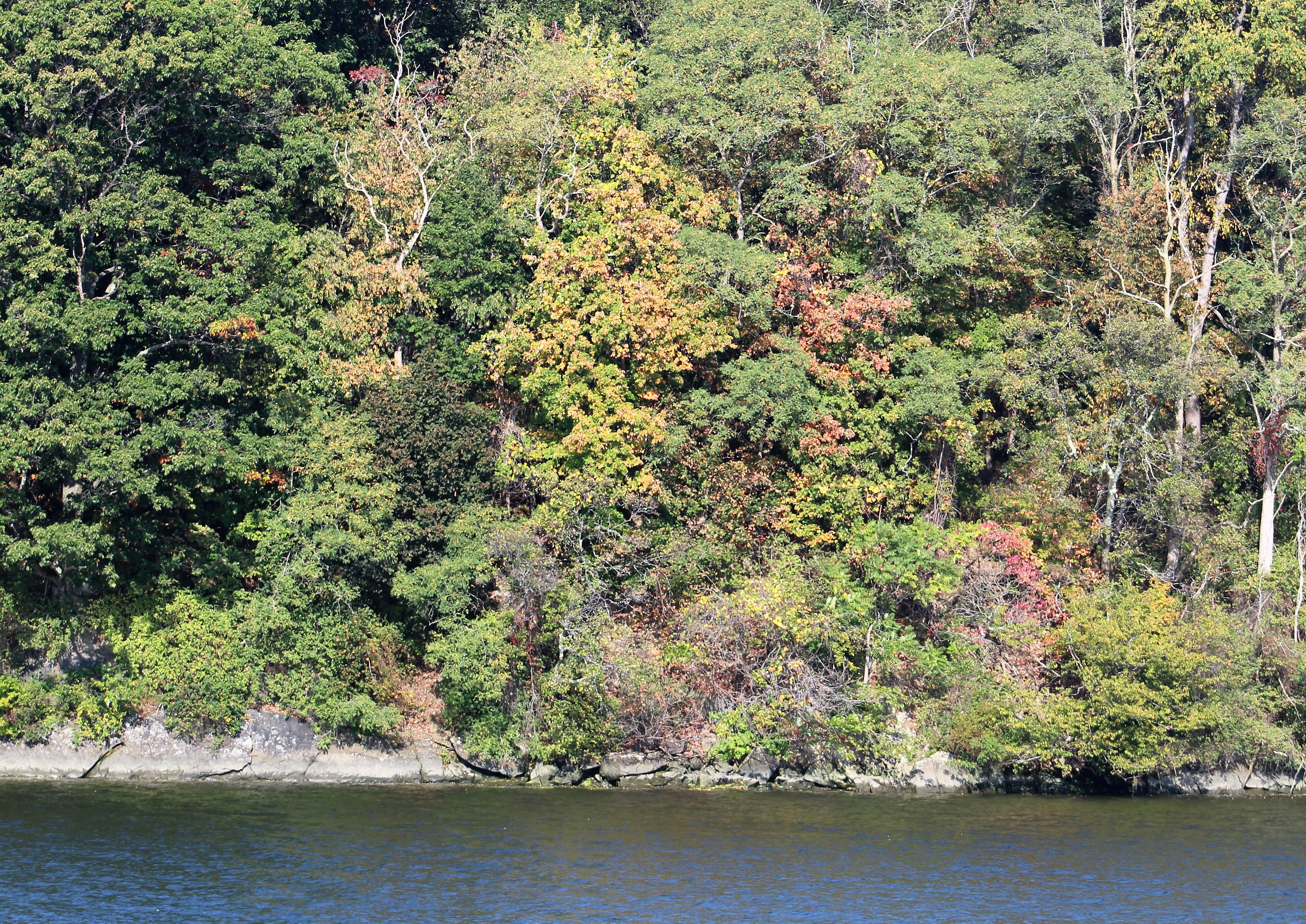
The Cohoes Falls were a major obstacle for the planners of the Erie Canal back in 1817 when work began. The original 1825 Canal went through the town of Cohoes. Back in 1862, when the Enlarged Canal was developed, the canal continued to run through Cohoes.
In 1918, during the Modern Barge Canal Era of today, the canal was moved to bypass Cohoes and run through Waterford. However, there was still vibrant industry due to the mills in the area of Cohoes. During the Great Depression, the mills closed down and the city leaders were desperate for cash. They leased/sold the water rights to power companies and the Canal System.
Cohoe Falls in summer
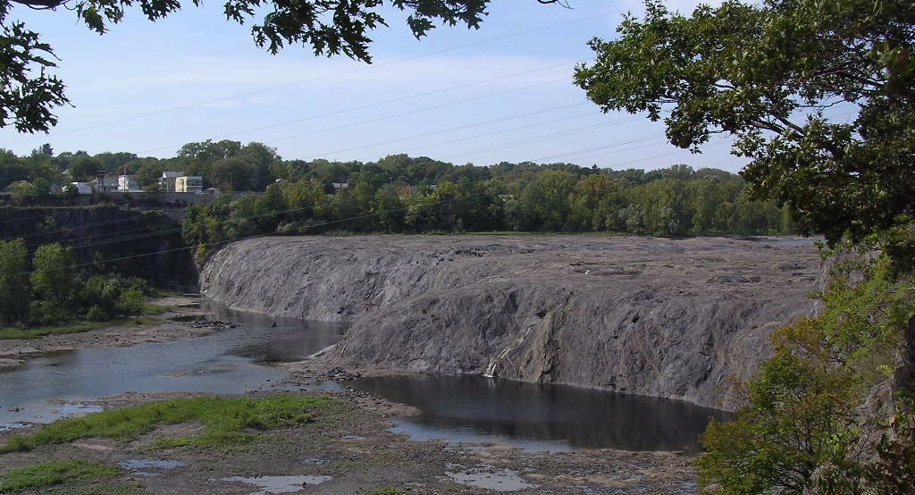
Consequently, the falls run strong following the fall rains, but dry up by late spring/early summer due to water diverted to the power companies and to the Canal Locks. Leading to the no tourist industry for the town today.
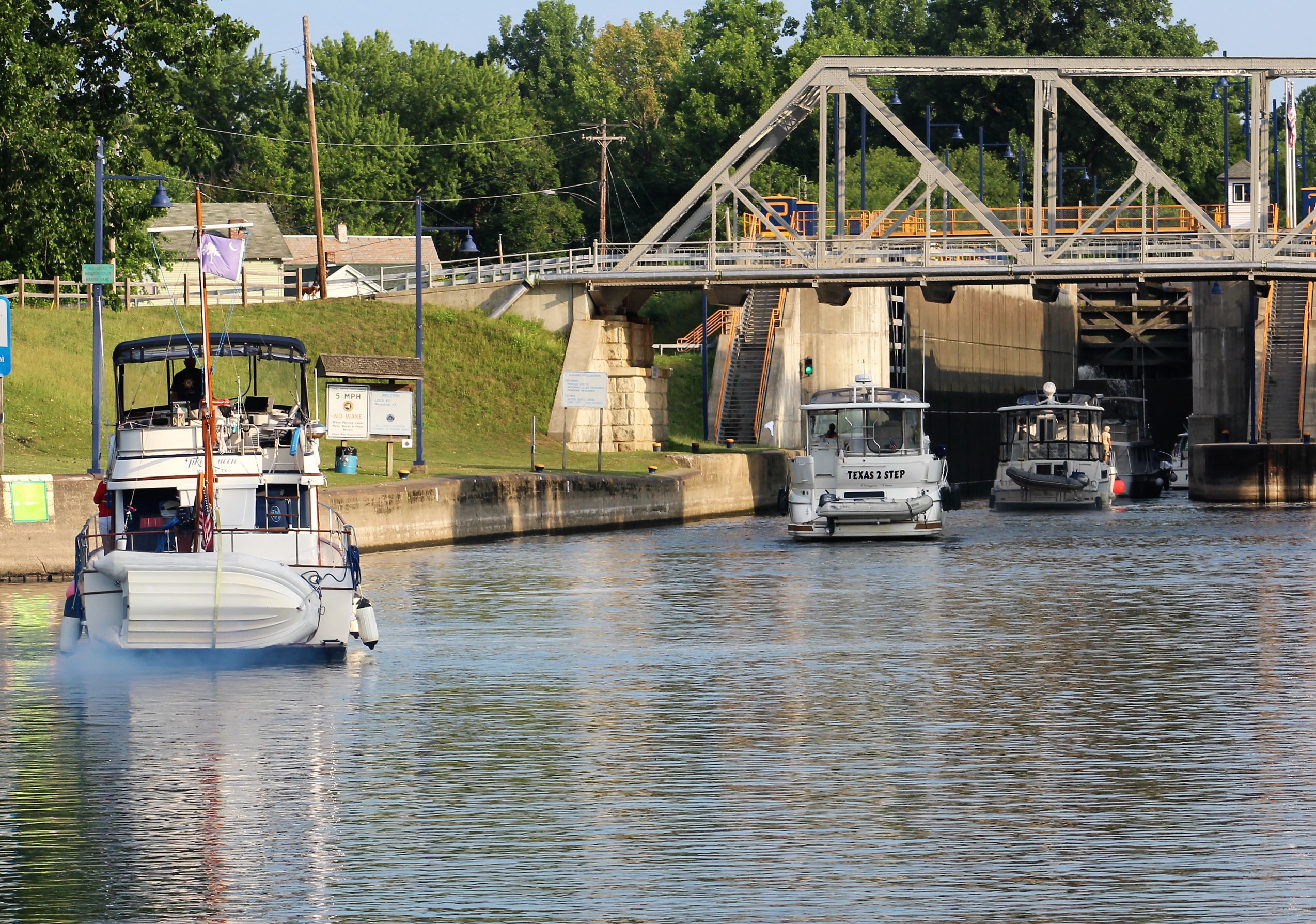
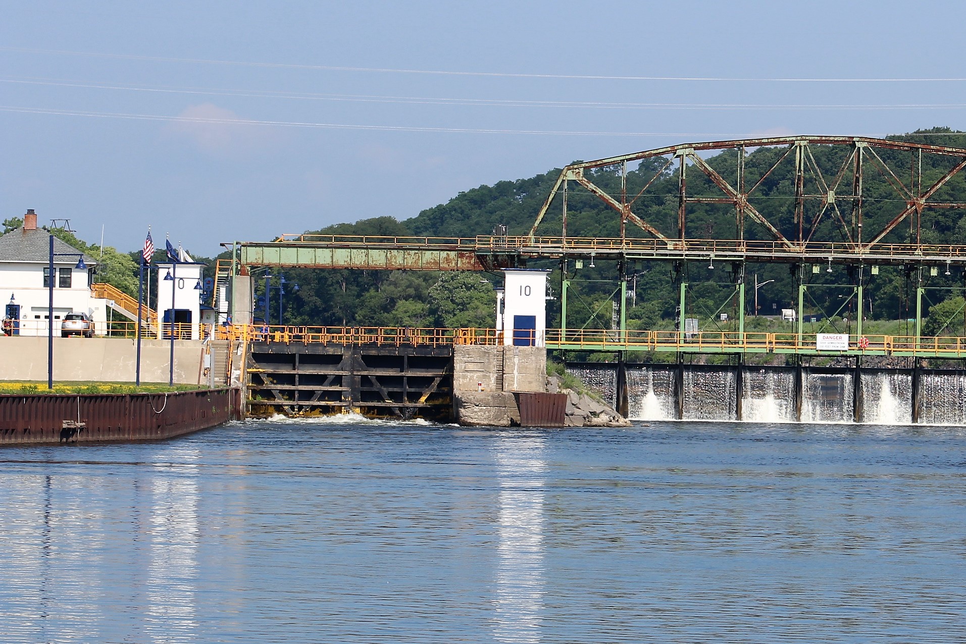
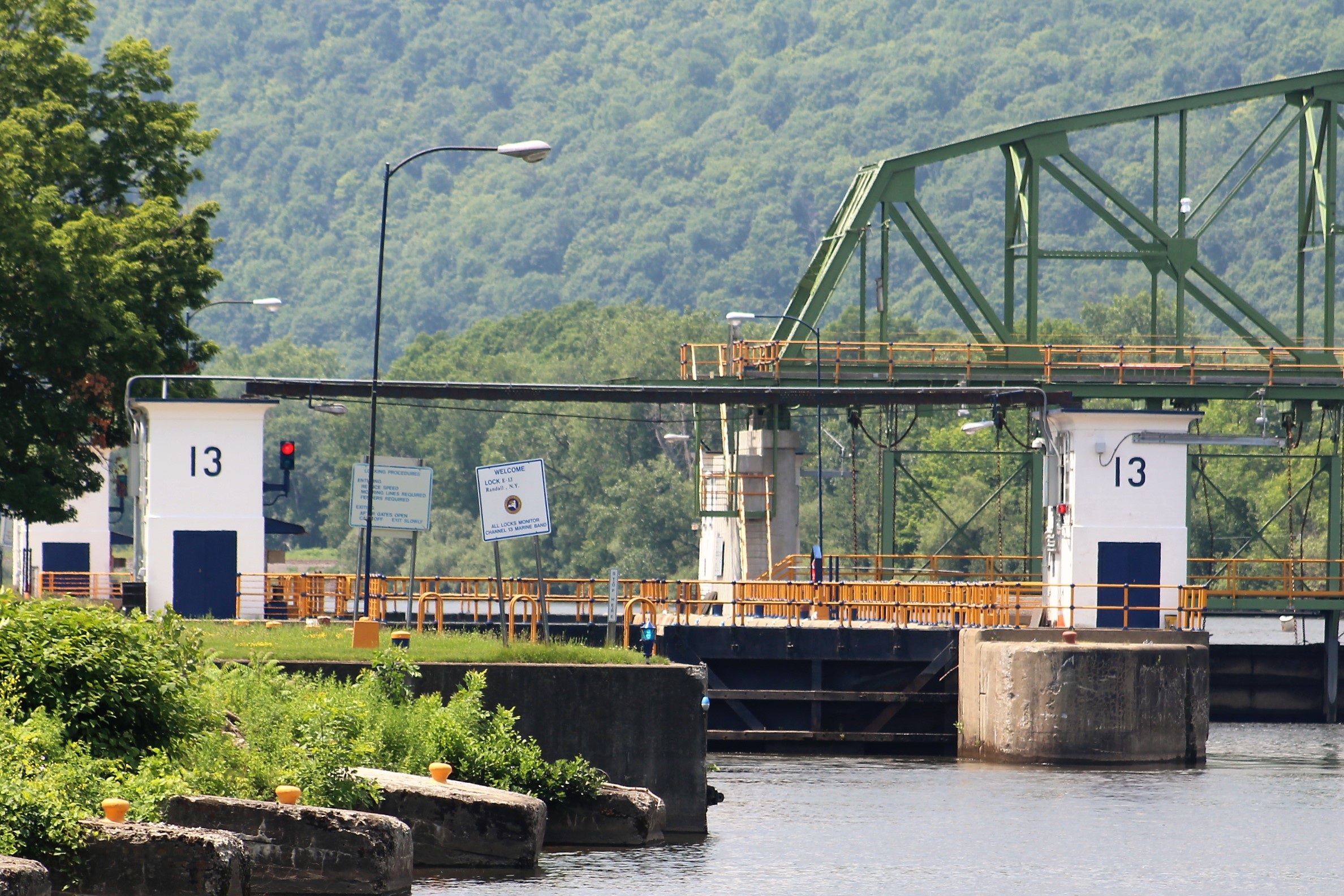
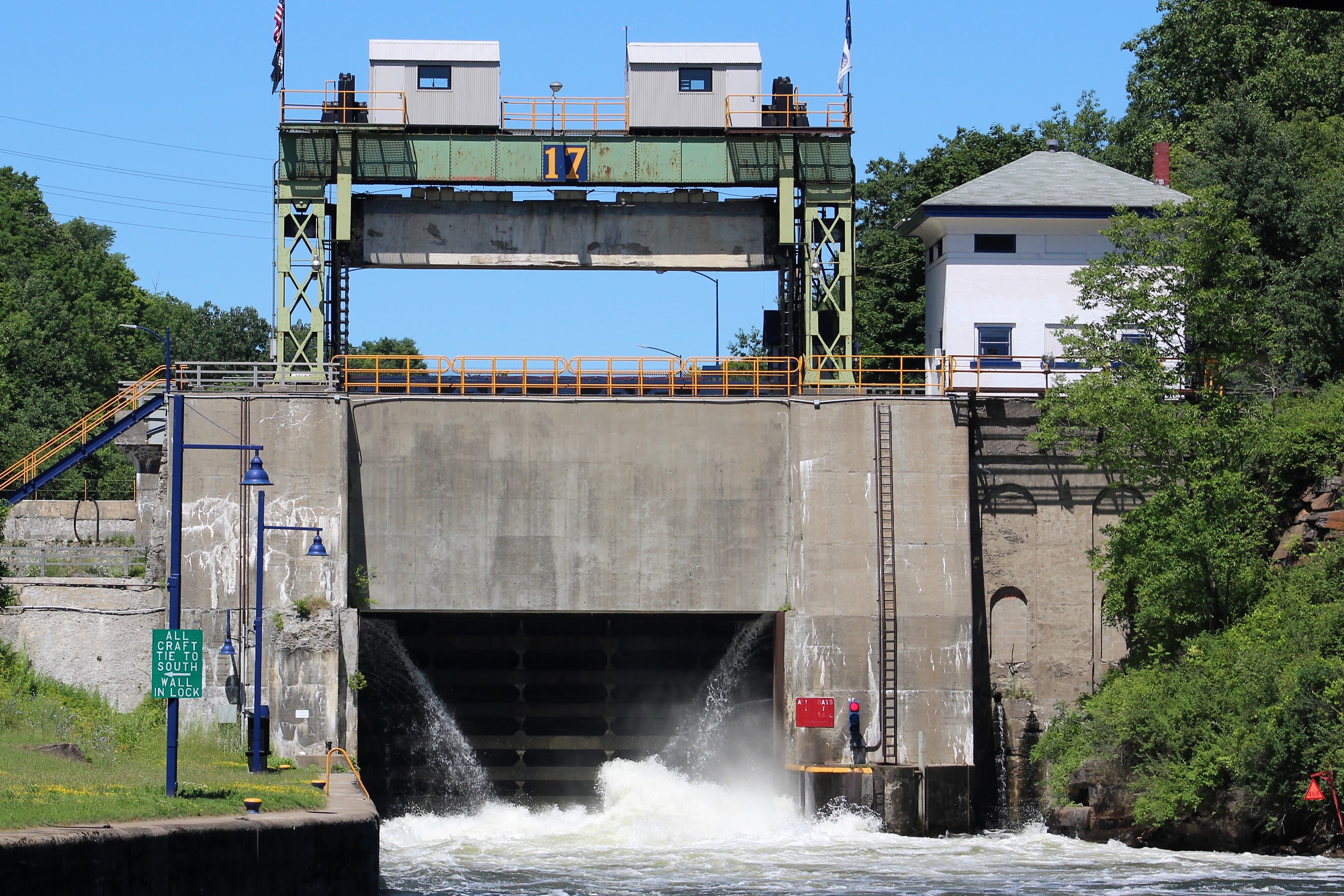
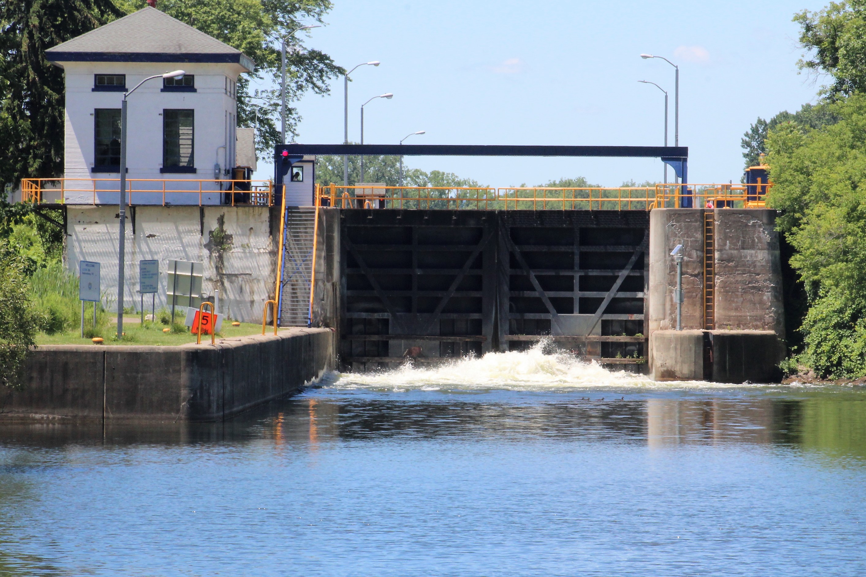
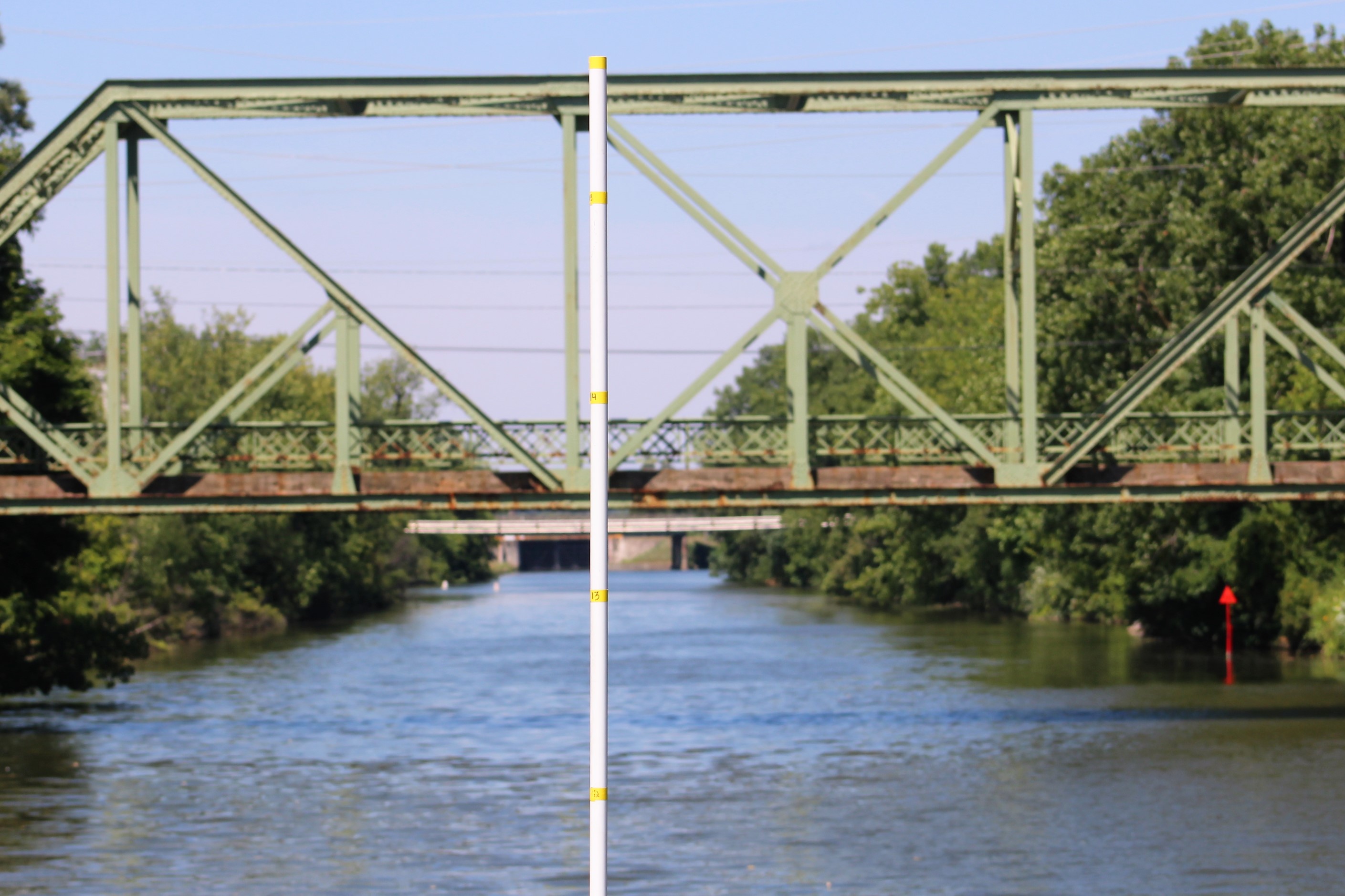
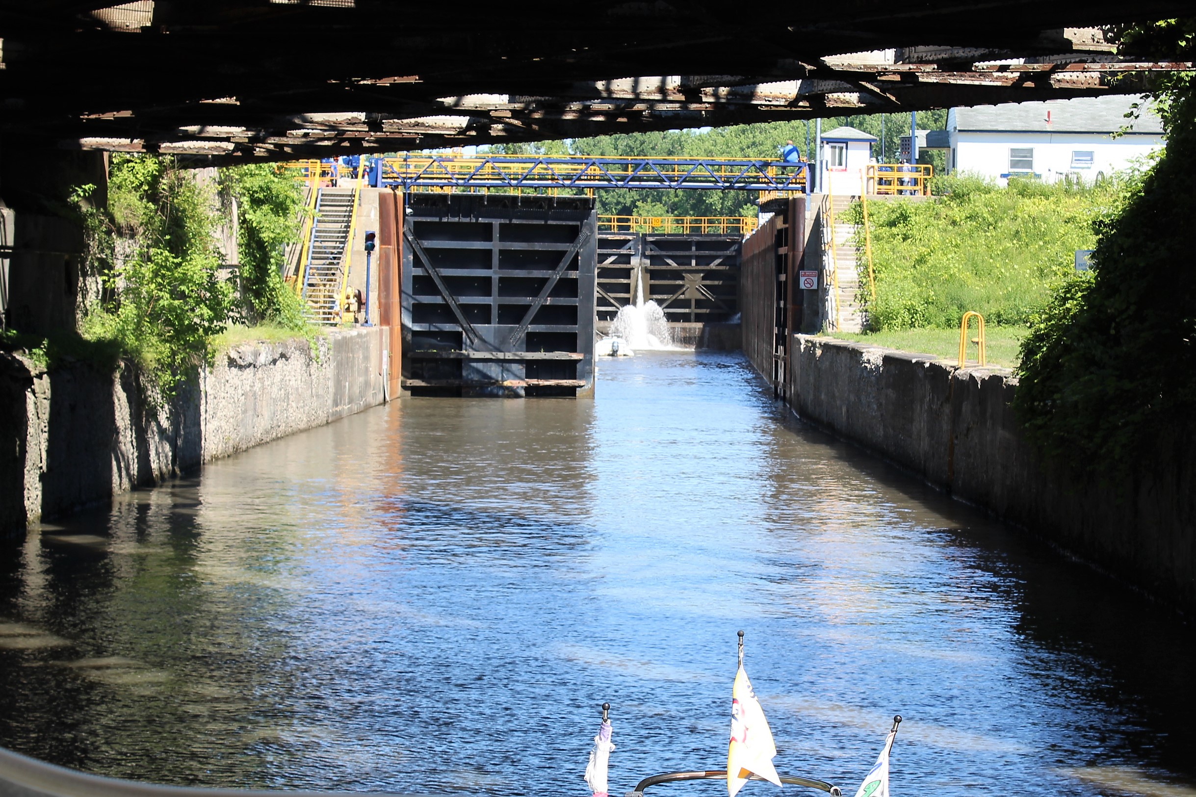
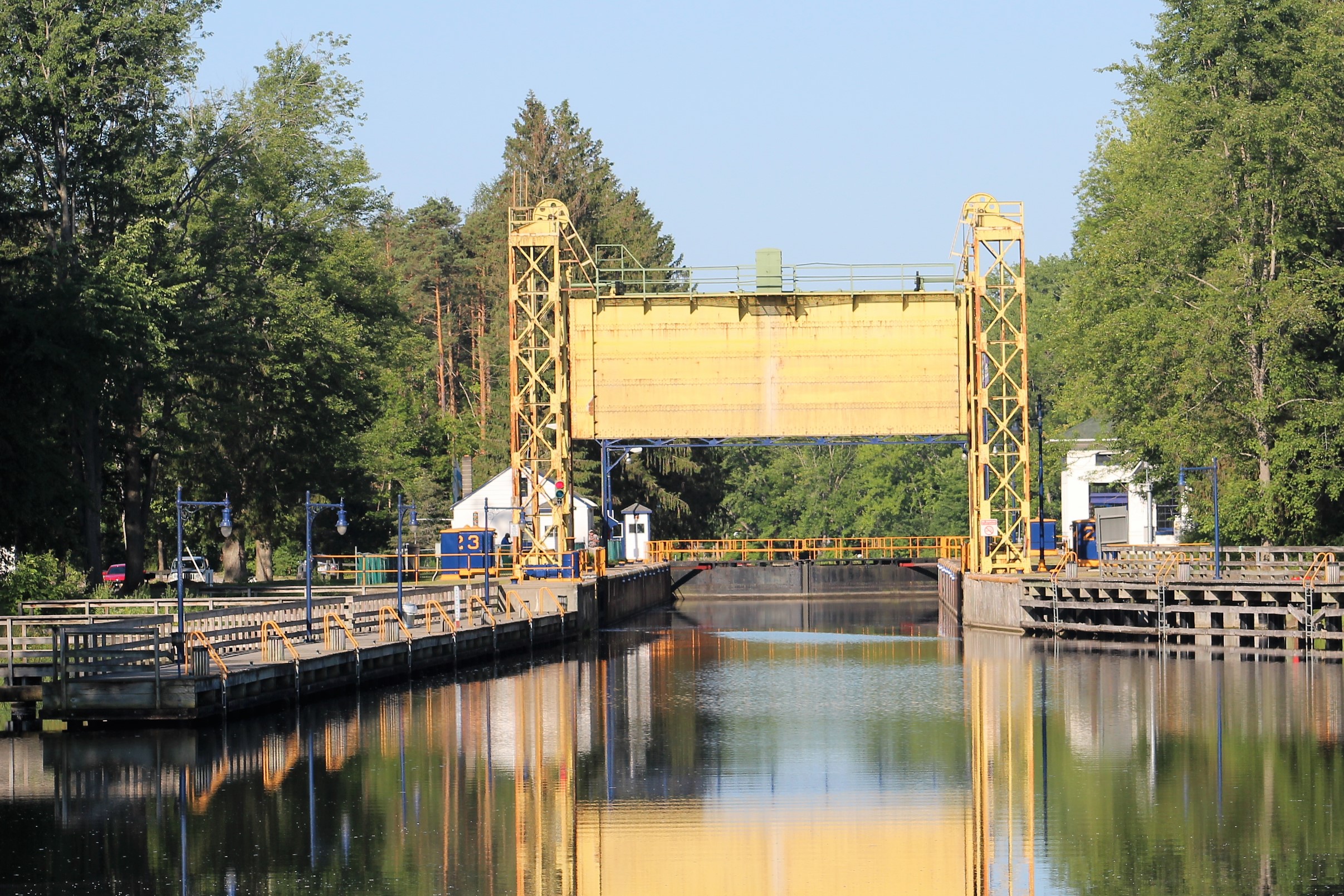
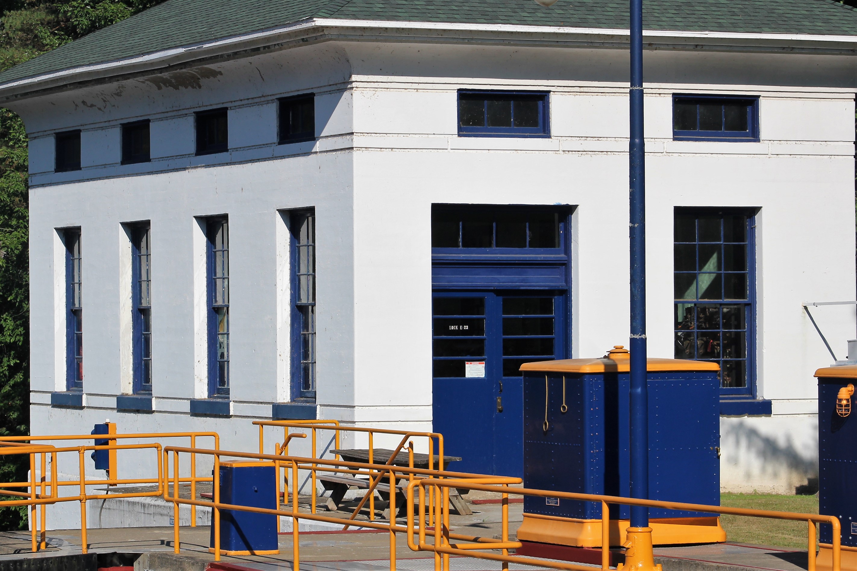
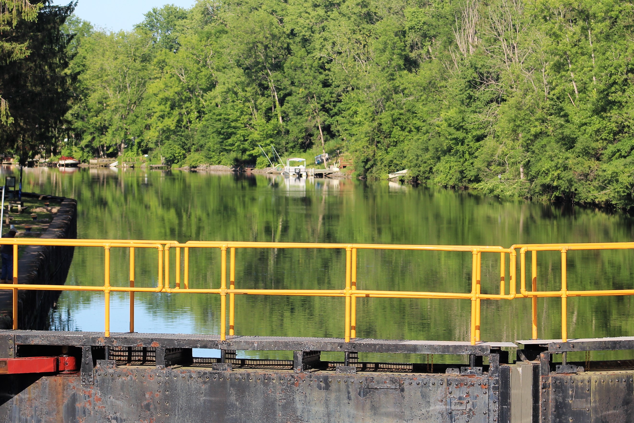
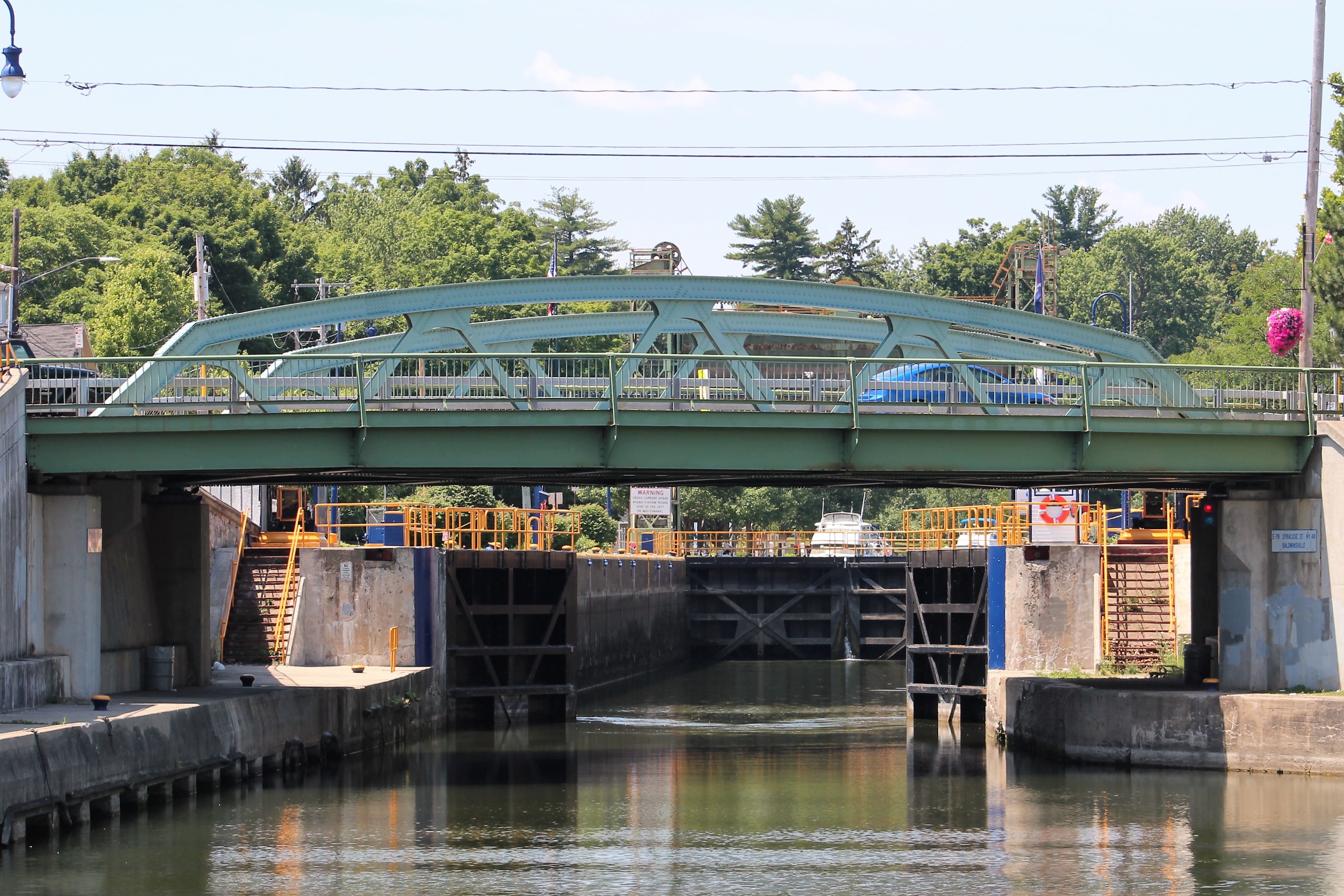
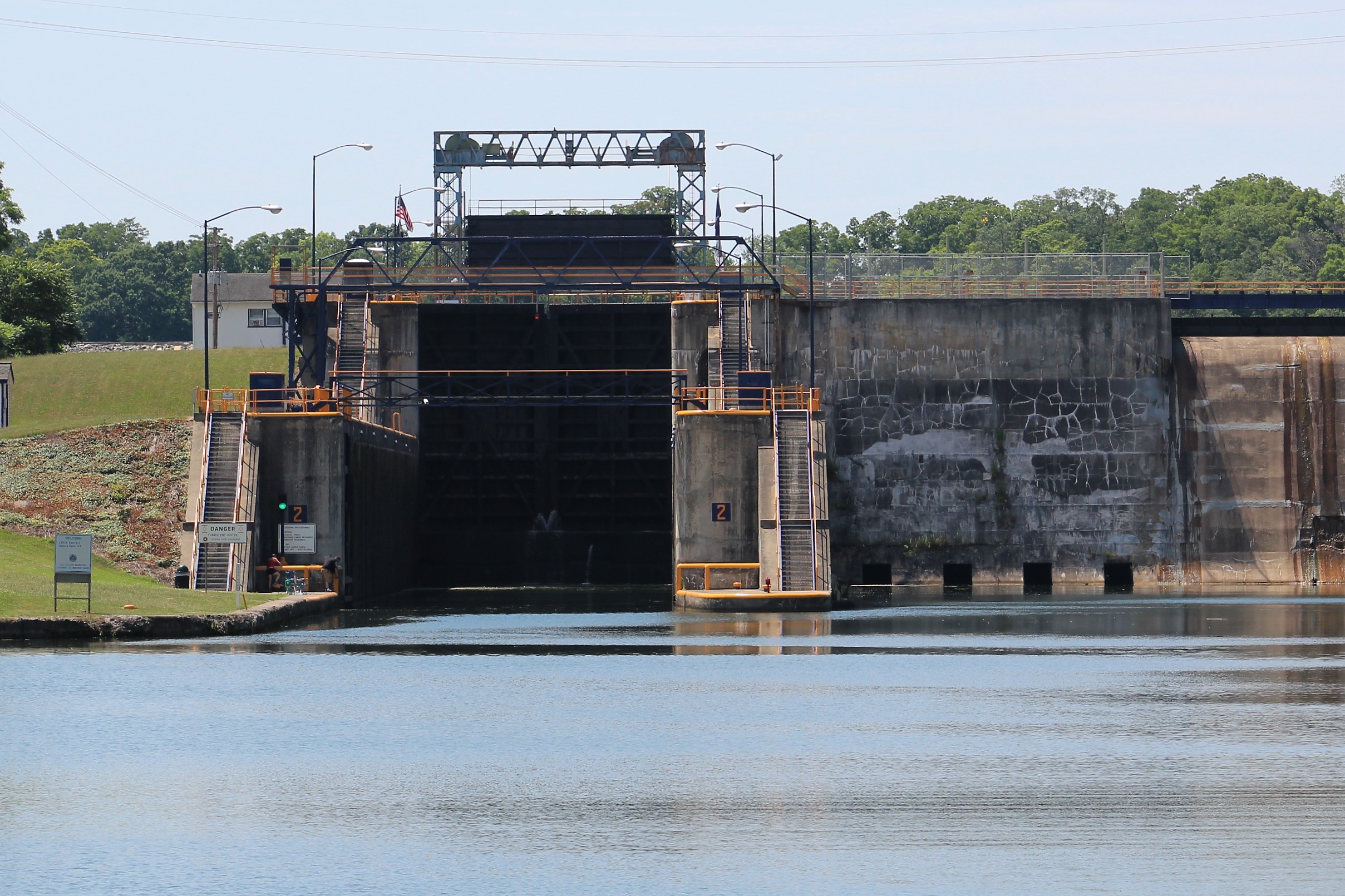
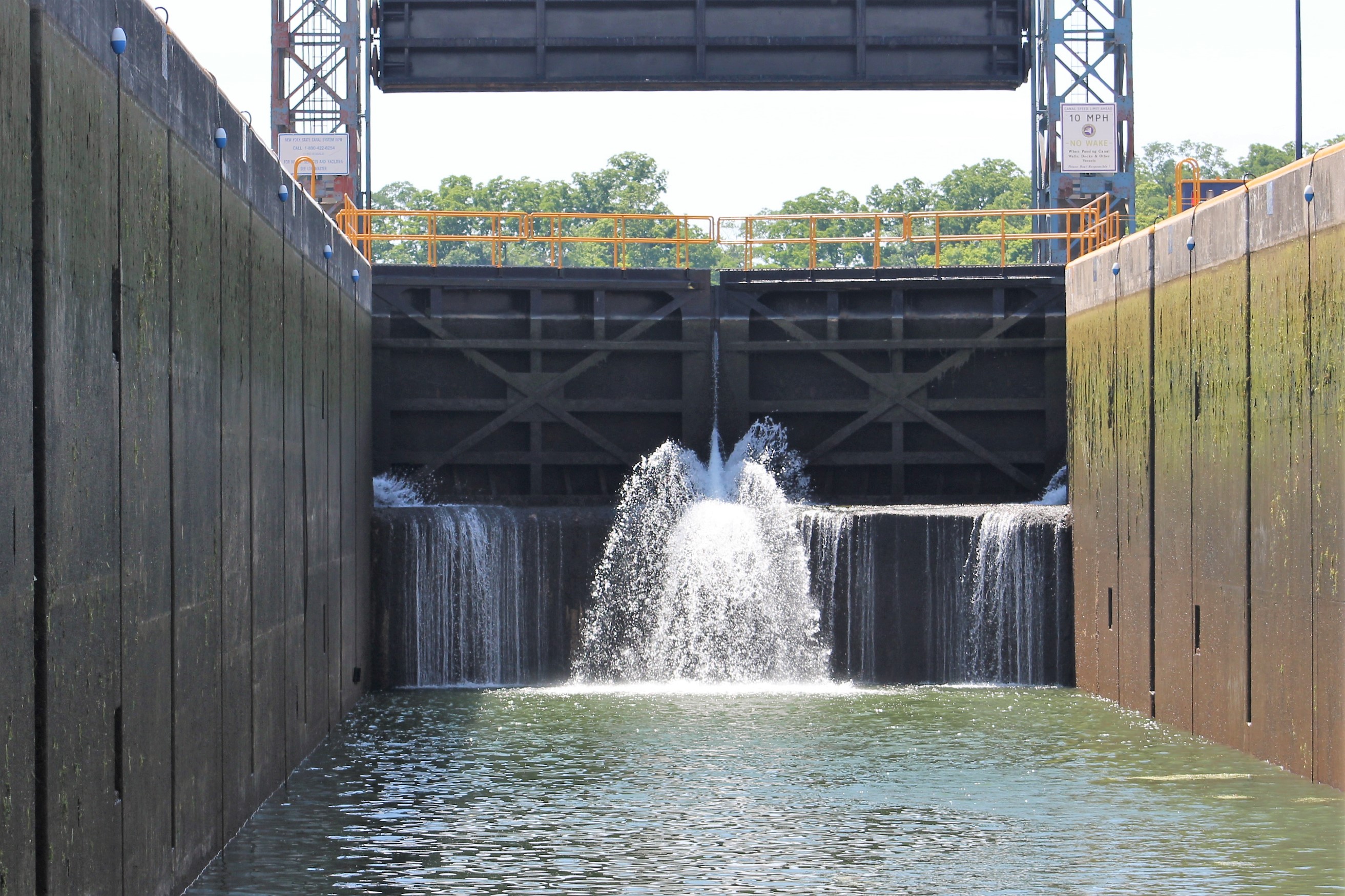
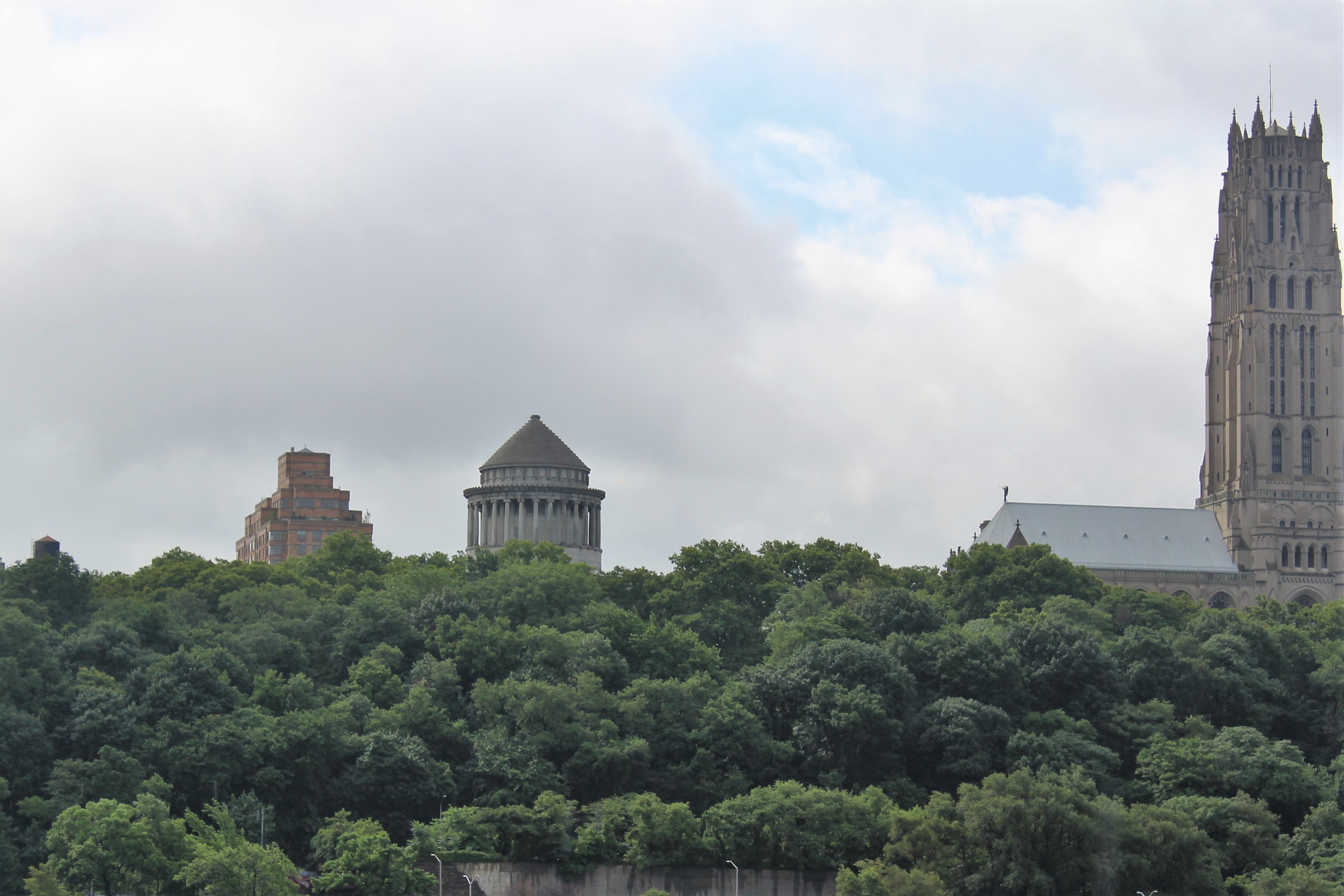
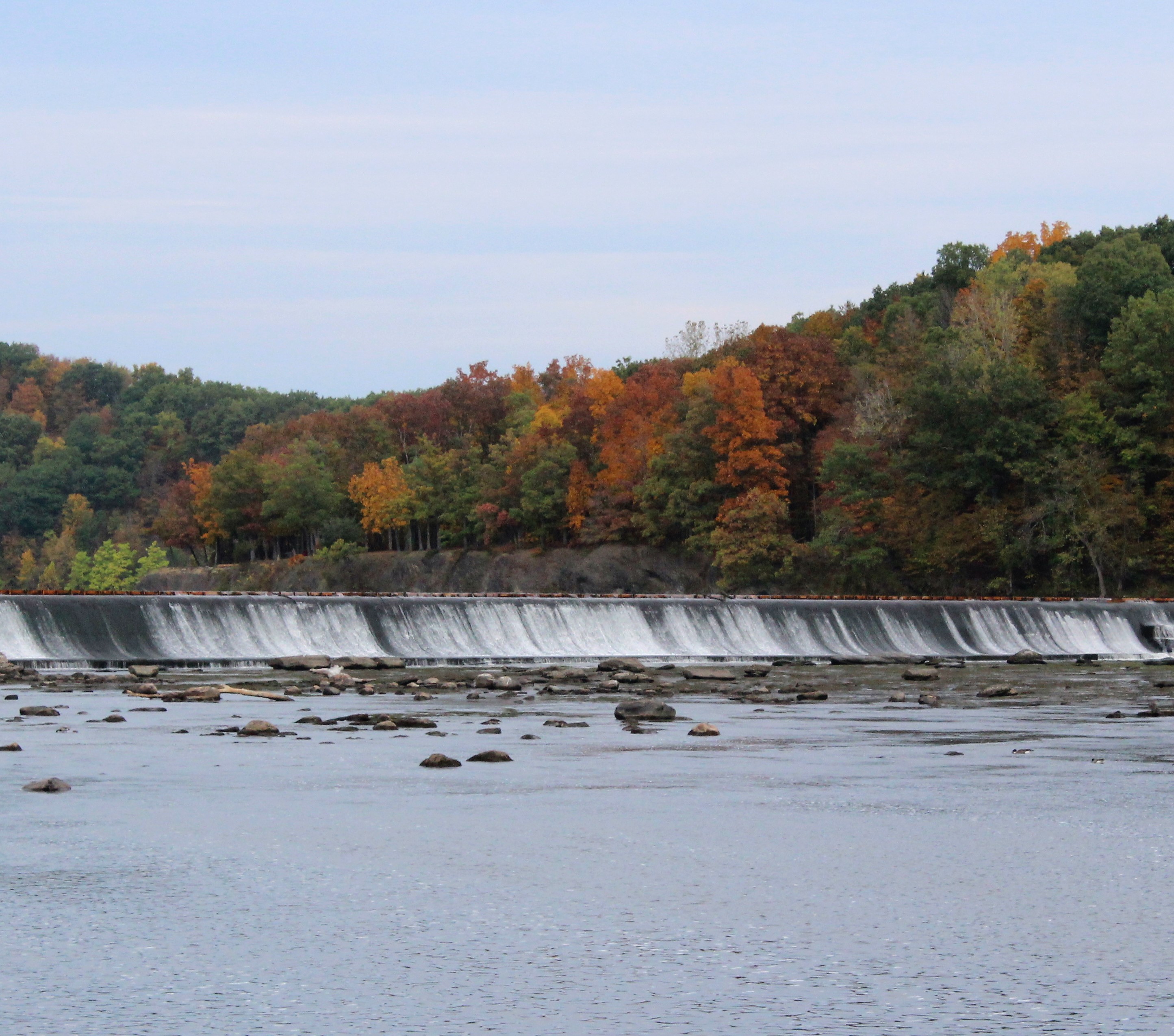
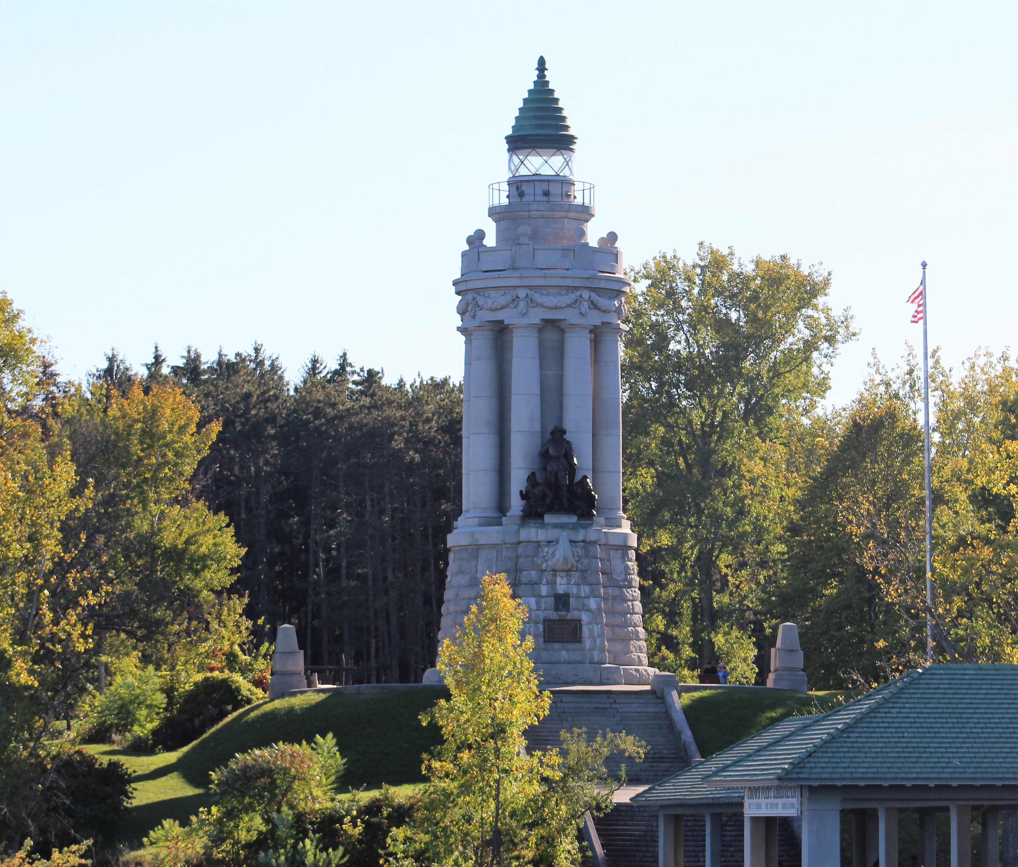
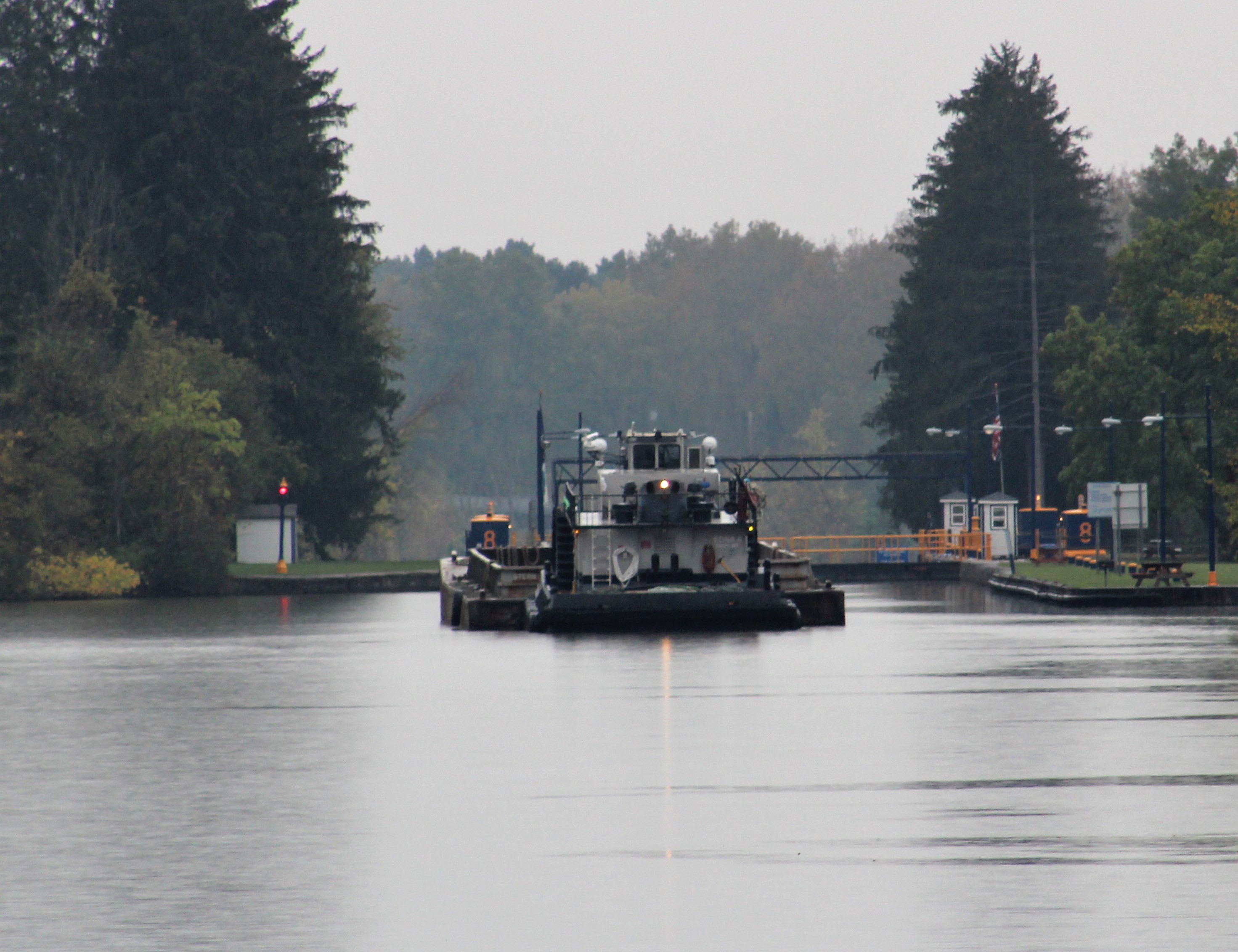
Speaking of today, the crew starts their official passage through the Erie Canal when they enter Erie Canal Lock E2 at Waterford. Lock E2 is the first lock of the Waterford Flight of Five, Locks E2-E6. These locks make it possible to bypass the Cohoes Falls, and complete the largest lift in the shortest distance of any canal system in the world. The five locks will lift Still Waters II 169 feet in just a little more than a half mile of distance. This will surely be a workout for the crew.
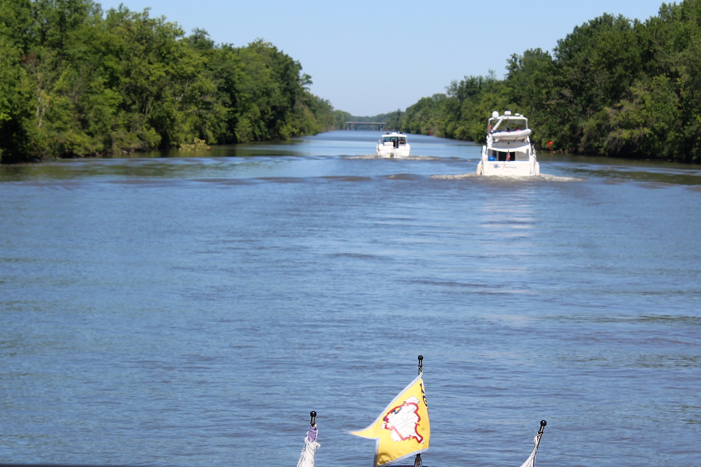
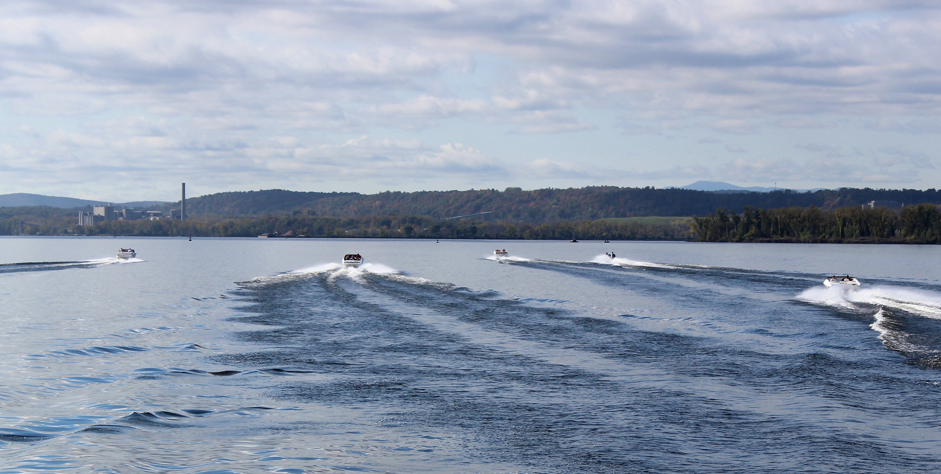
A fleet of six Looper boats all decided to leave together and travel as a group today. They got off the dock around 0700 and headed for Lock E2. Our Crew stayed back to do one of the skippers favorite tasks, pump out the holding tanks. After the dirty, nasty task was complete, the crew shoved off the dock and headed to Lock E2 to start the Erie Canal Adventure.
Looper Fleet entering Lock E2 at Waterford to begin the Flight of Five, up 34 feet
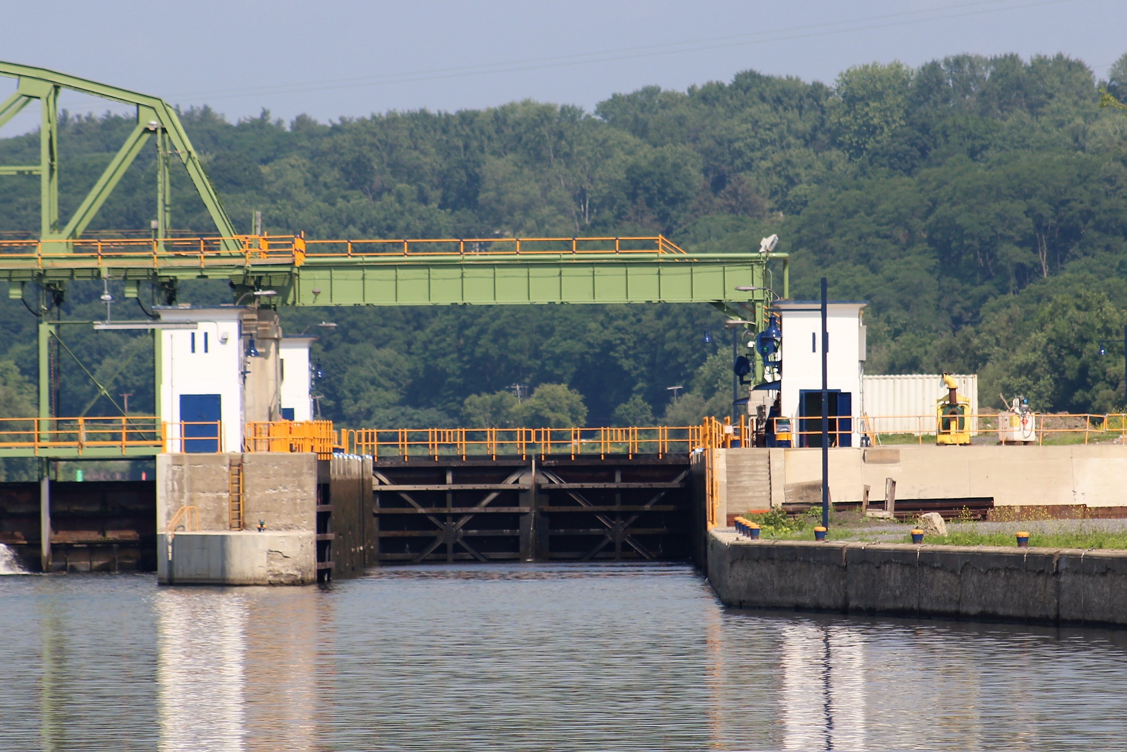
After they exited the Lock, the Lockmaster informed the crew that the Lock E3 operator was pulling double duty today and was operating lock E3 and E5. The Lockmaster told the skipper to pull up to Lock E3 and tie along the wall, it might be a while. He was right, an hour and half later, the skipper got a radio call from the Lock E3 operator saying he would be opening the gates in about 15 minutes.
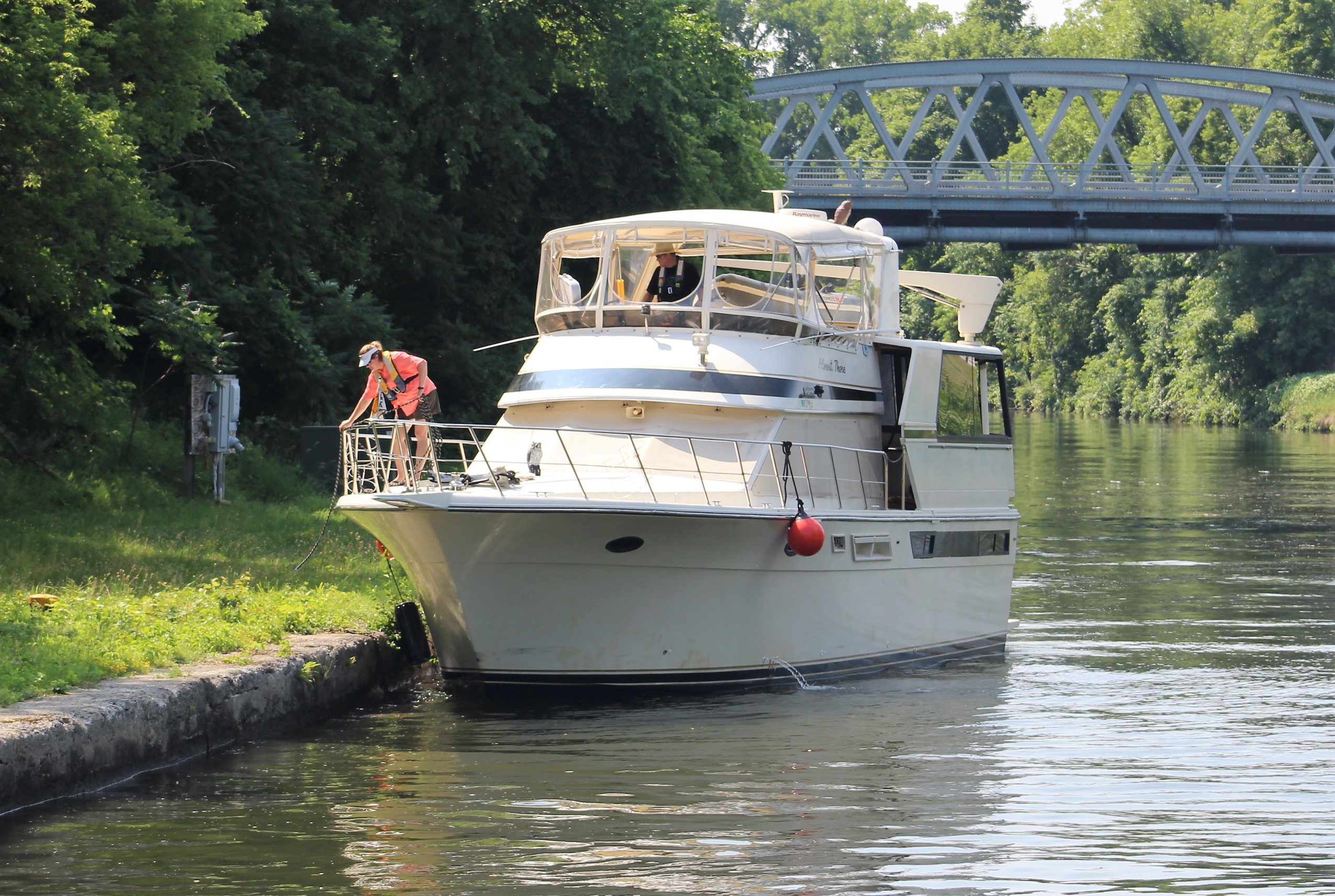
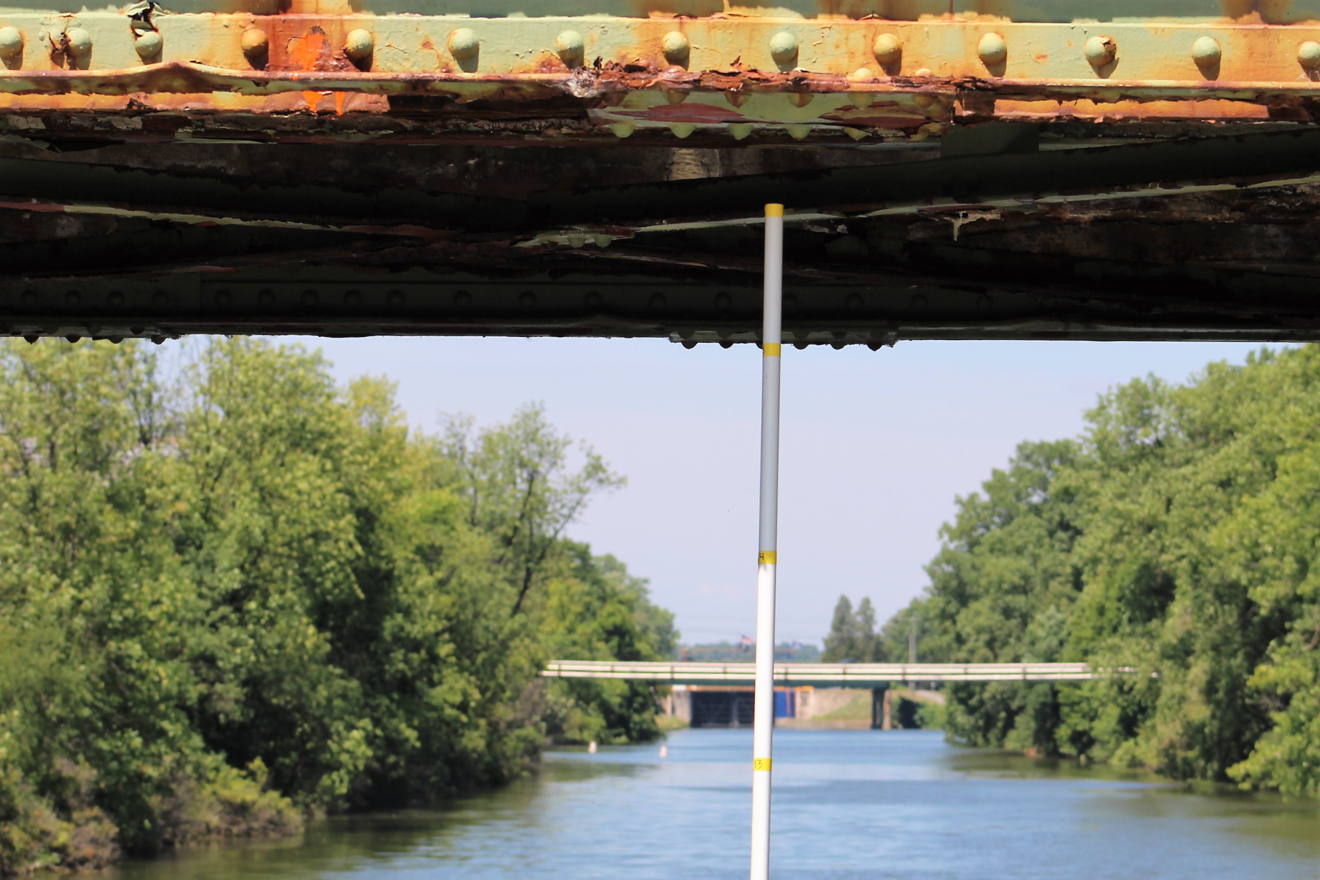
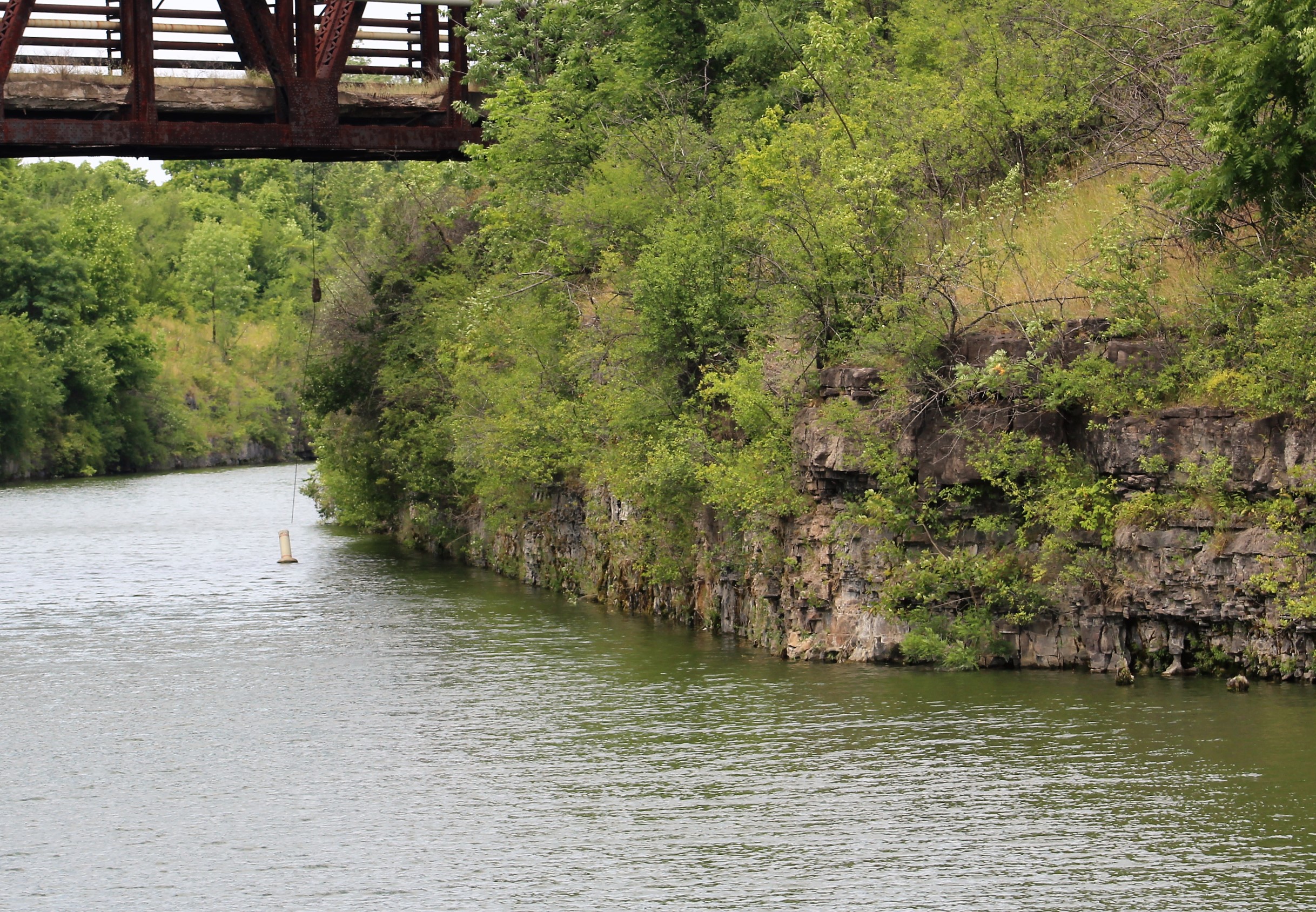
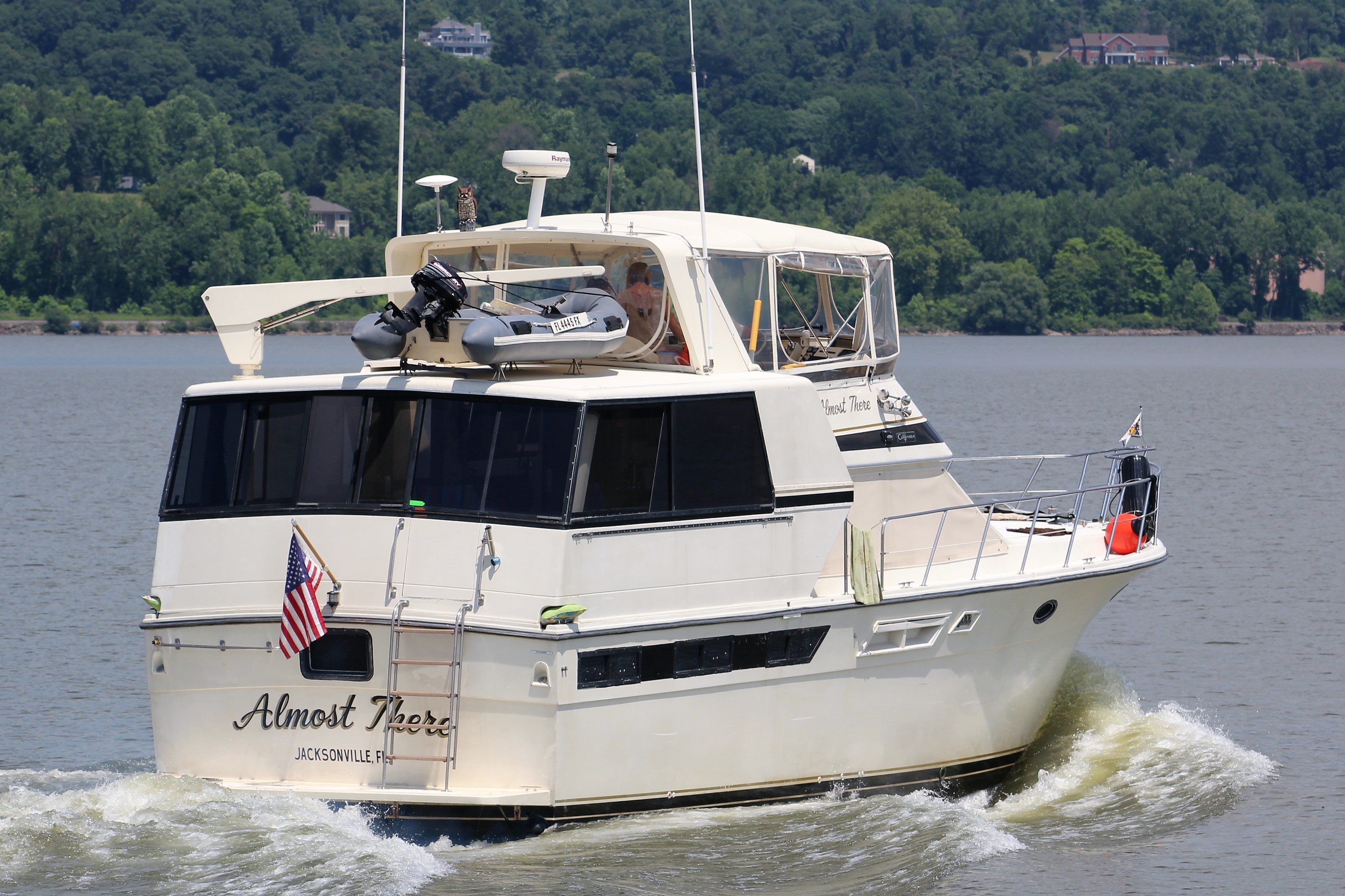
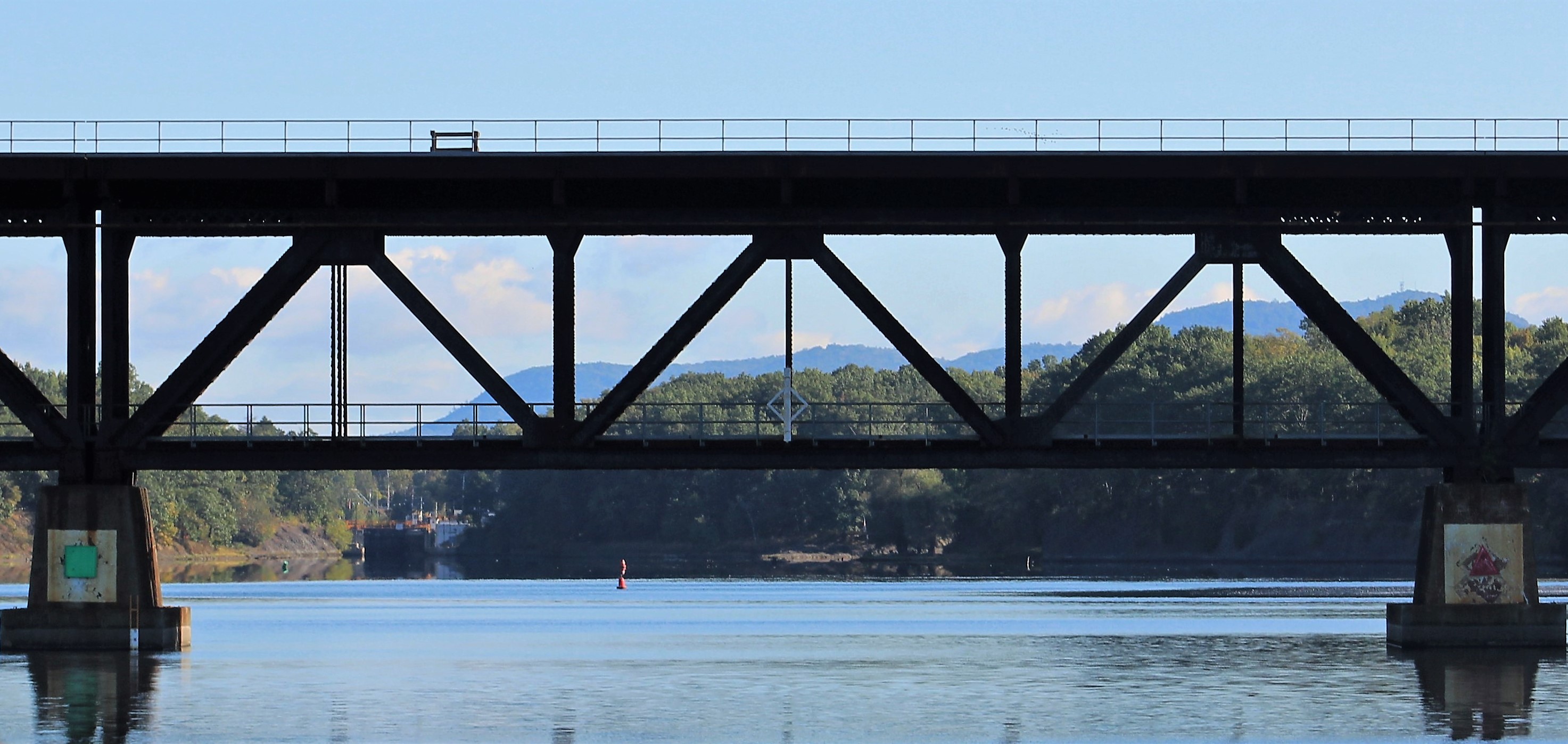
While the crew waited to enter Lock E3, Almost There showed up and joined the wait party. Our crew managed to tie along the wall under a bridge so they were in the shade while they waited.
The crew got the green light to enter Lock E3 at 1030. By 1145, they had completed Locks E3-6. They had completed the 169 foot rise around Cohoes Falls, but now it was time to find some electricity.
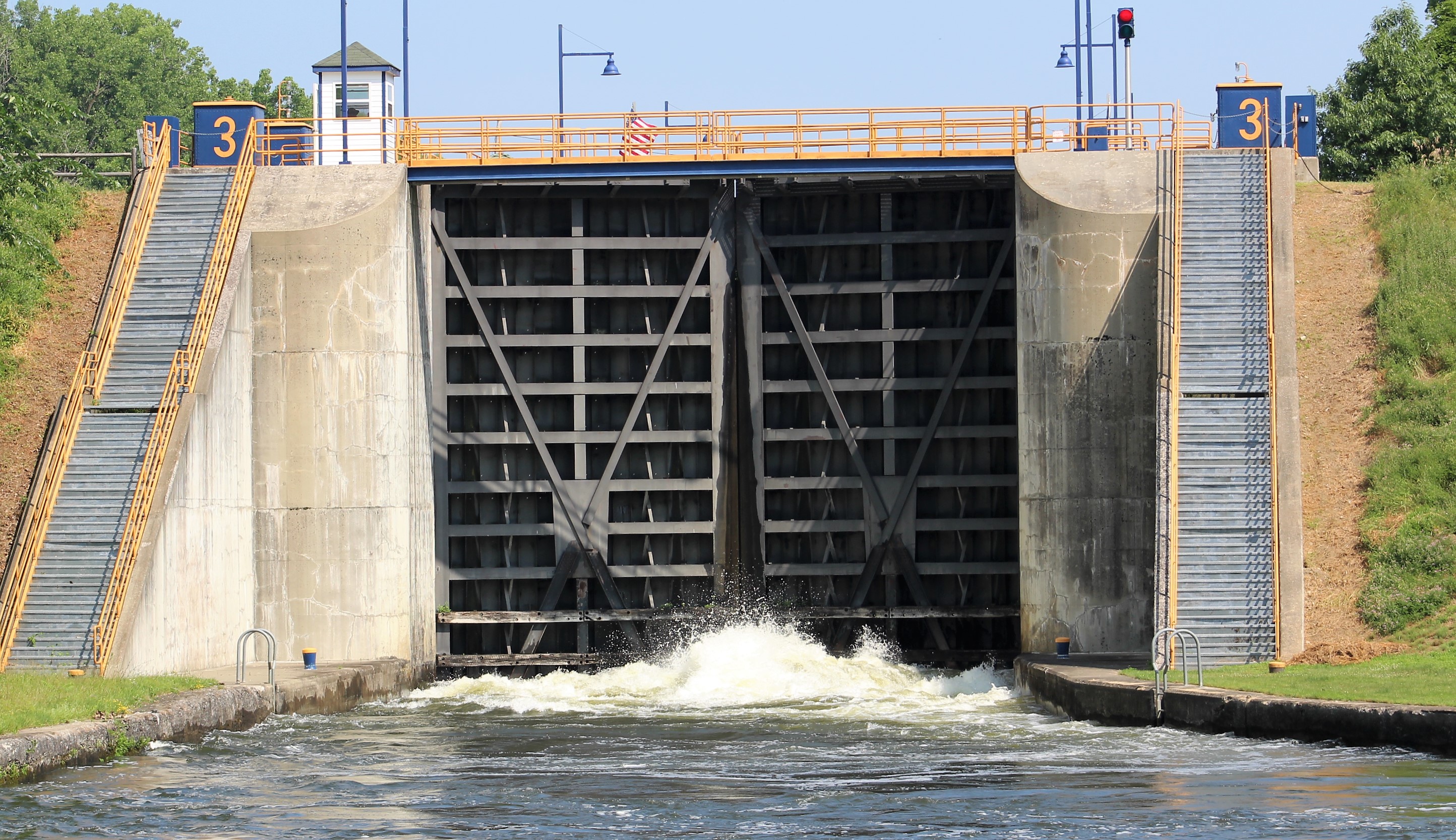
Lock E3, Waterford, up 35 feet
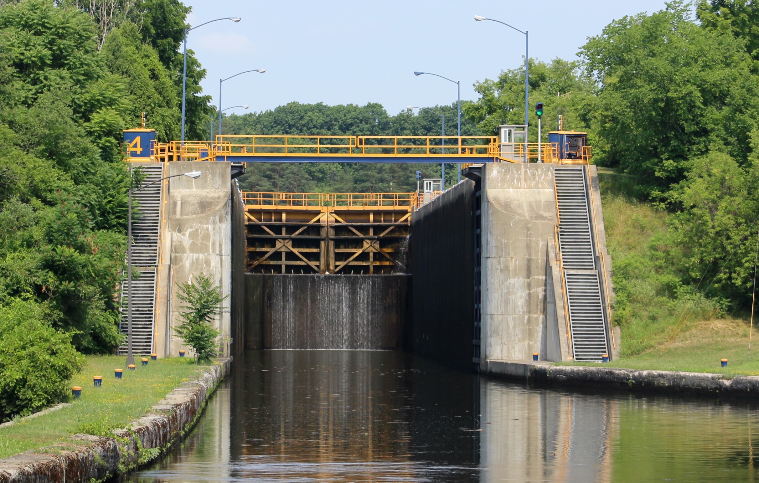
Lock E4, Waterford, up 35 feet
Lock E5, Waterford, up 33 feet
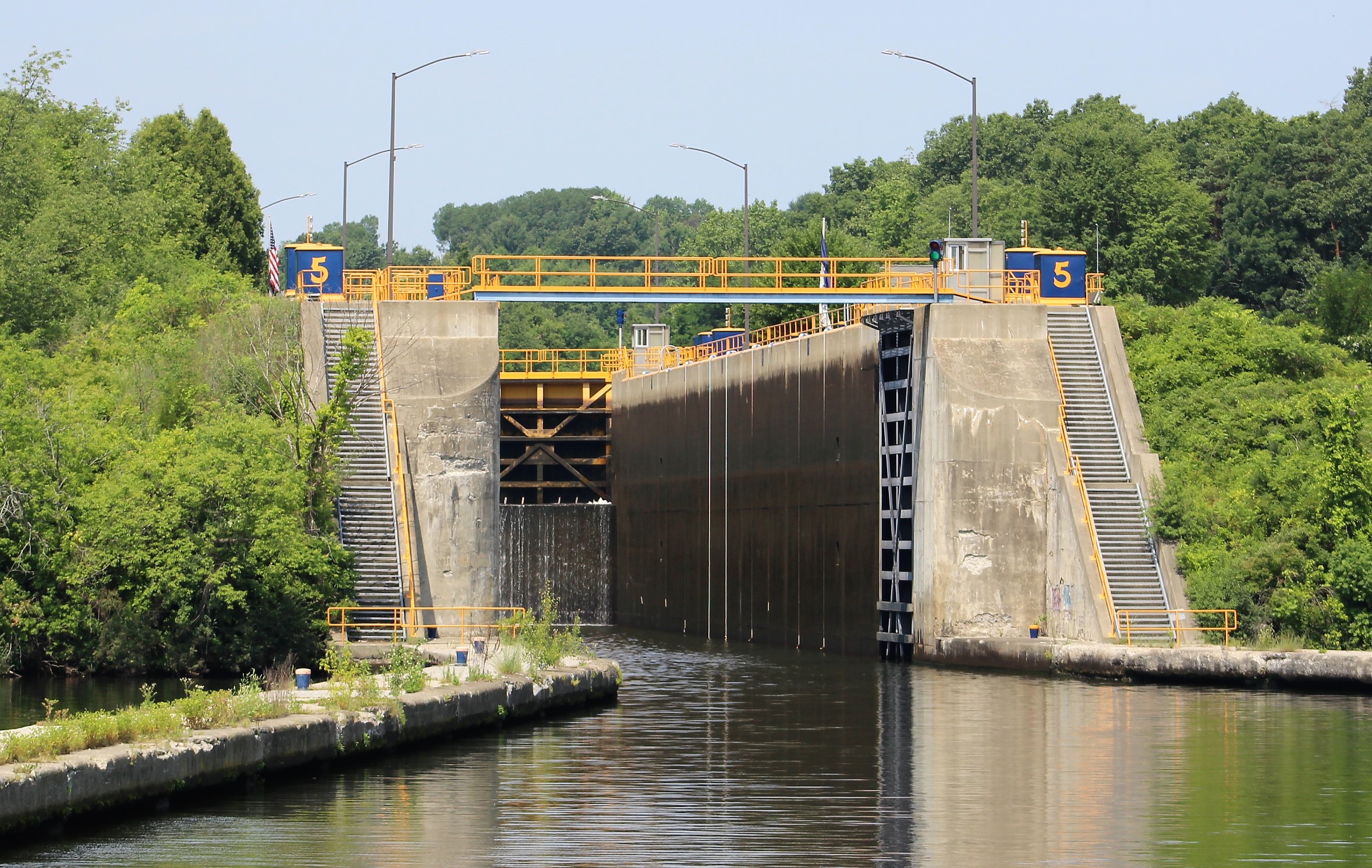
Lock E6, Waterford, up 33 feet
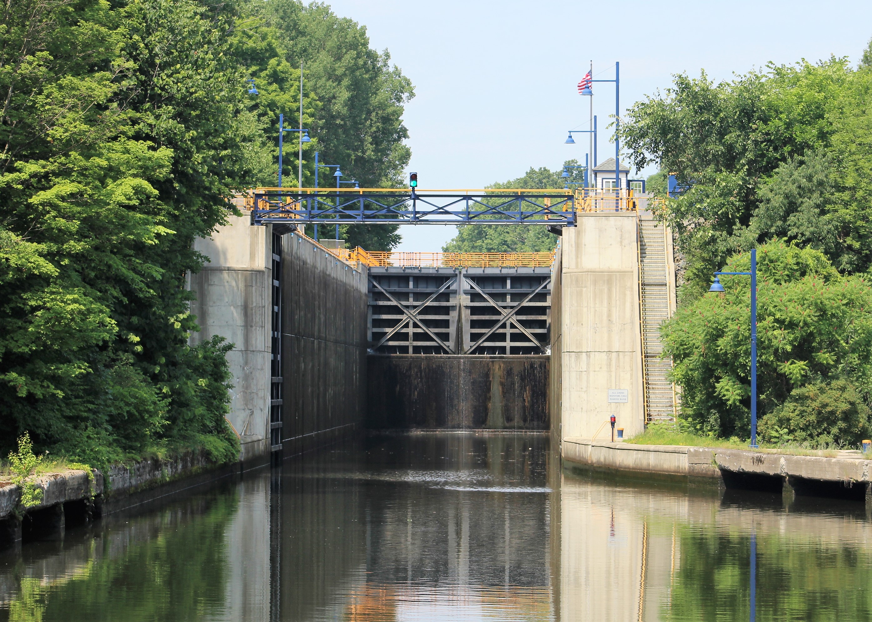
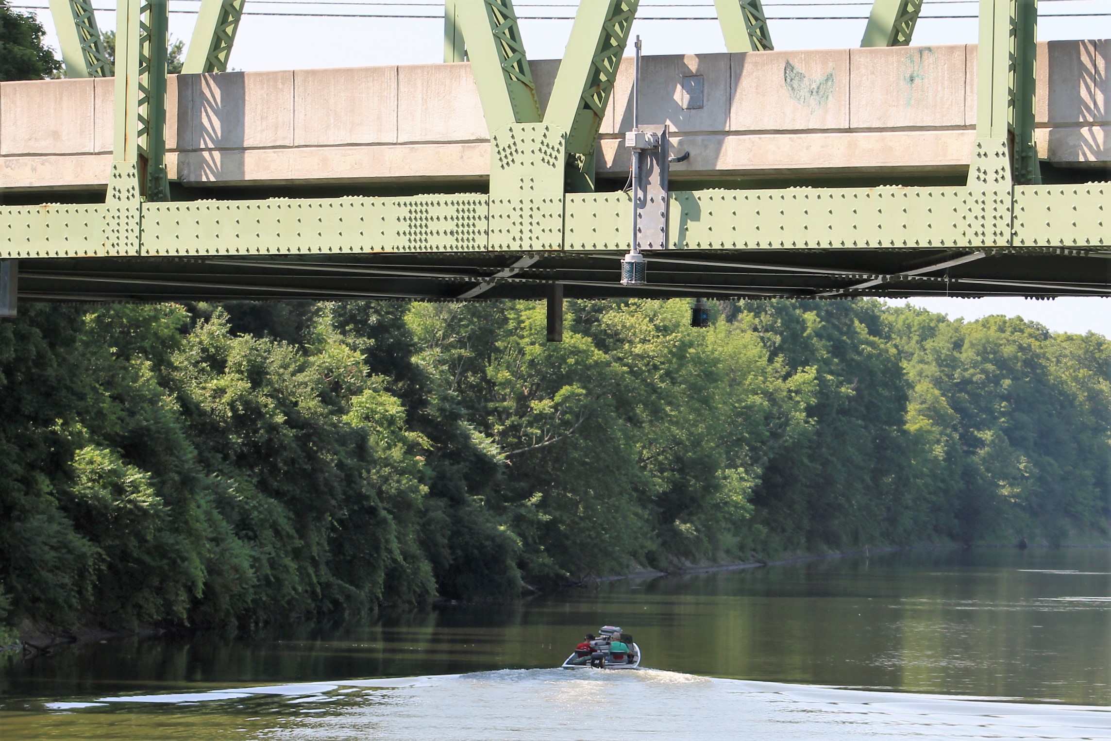
From there, it was about ten miles to Lock E7, so the Admiral got lunch together for the crew. When they arrived at Lock E7, they were informed that they would have to wait for some eastbound boat traffic to lock down before they could enter the lock. When the gates opened, there was a sailboat under tow by BoatUS. It was a narrow squeeze to get three boats abreast as they passed Still Waters II. When they passed the crew got the green light to enter the lock.
Almost There entering Lock E7, Vischer Ferry, up 27 feet

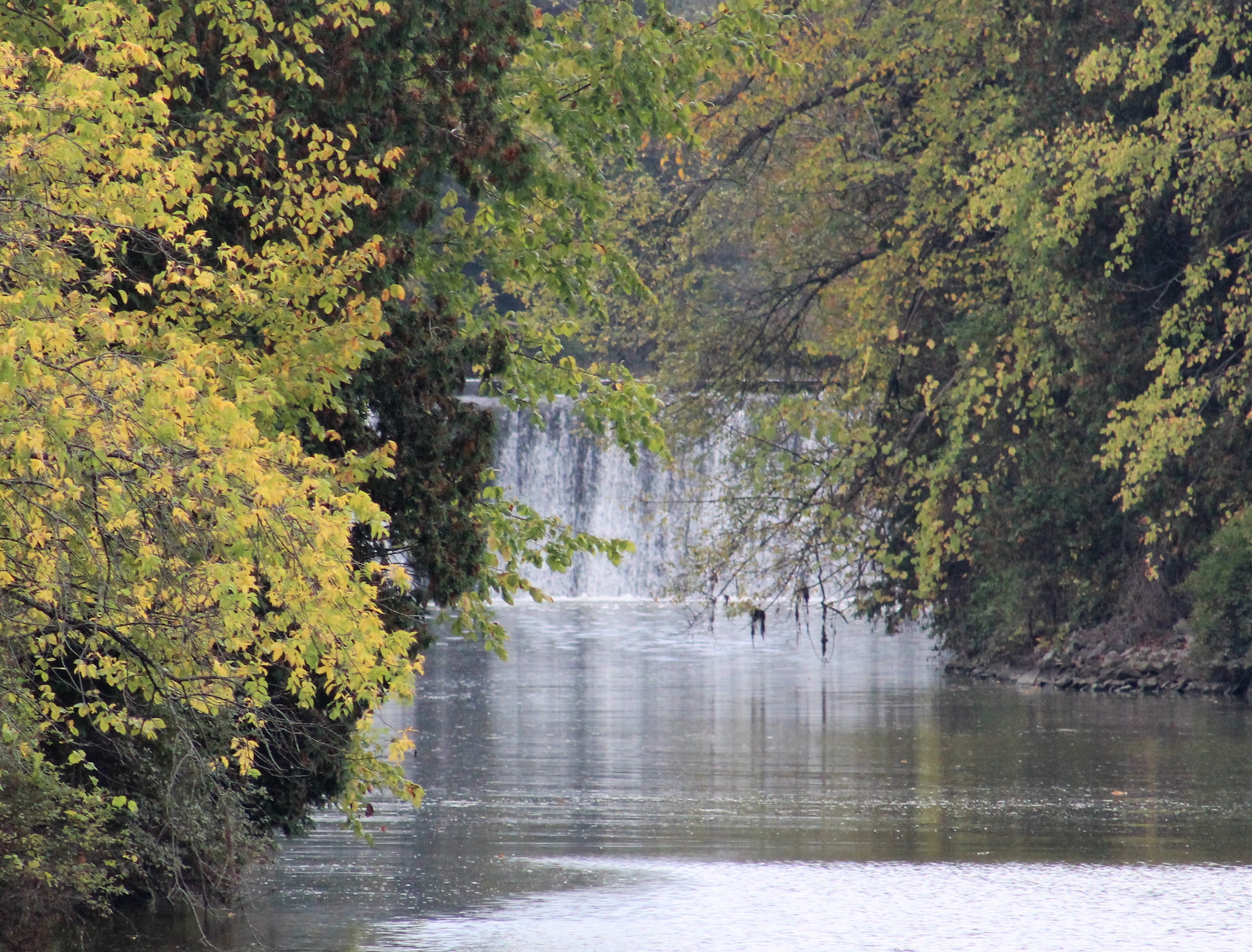
The dam at Lock E7
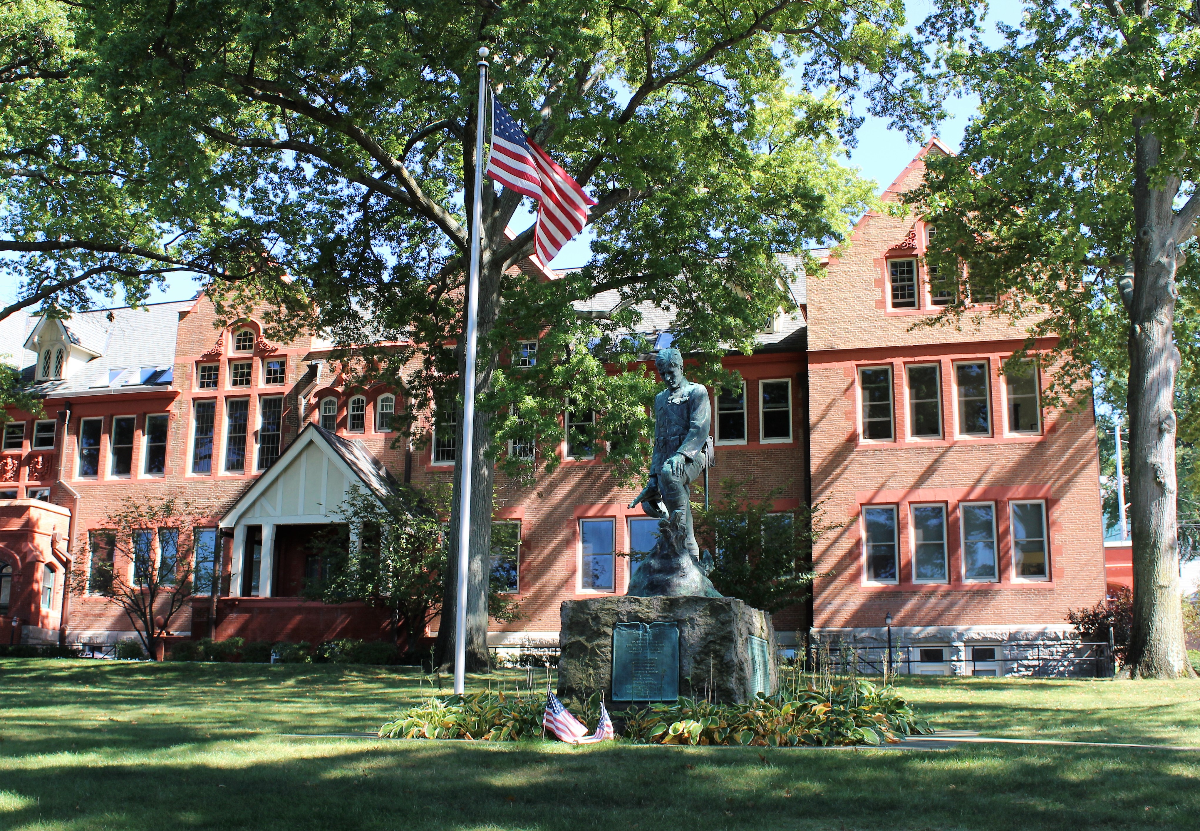
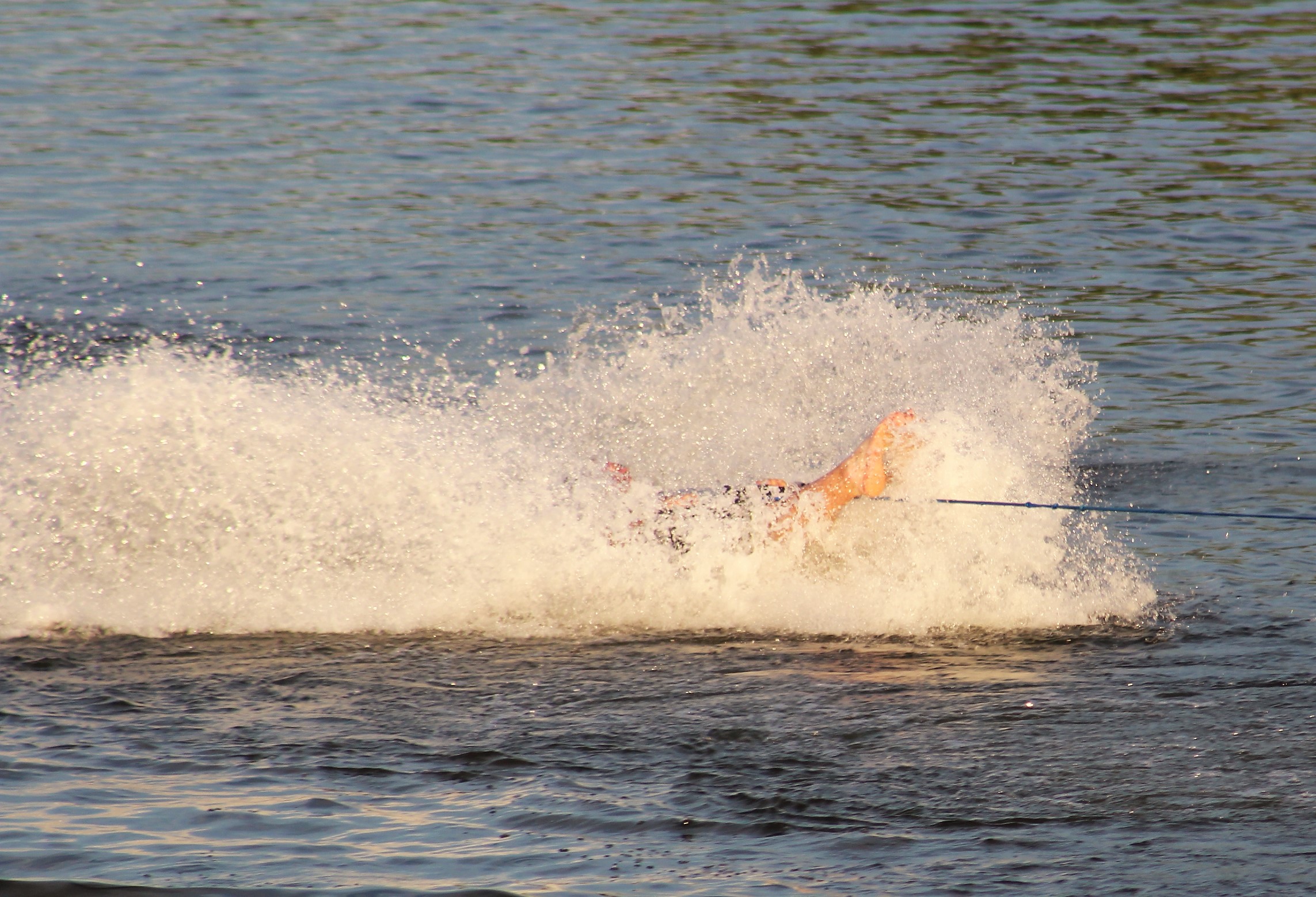
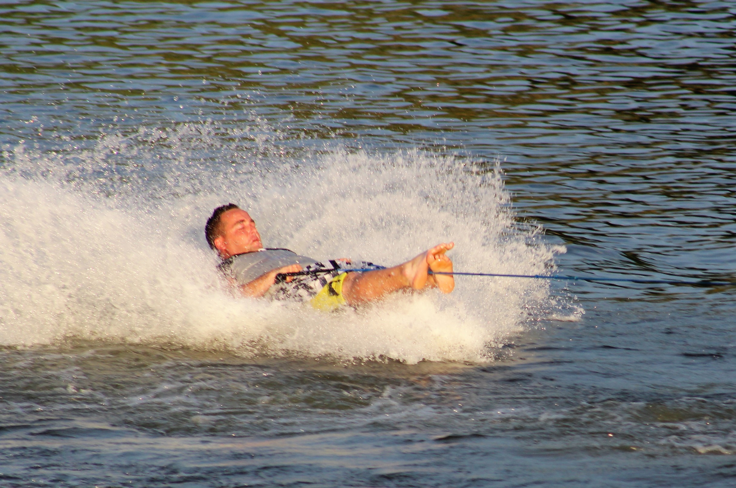
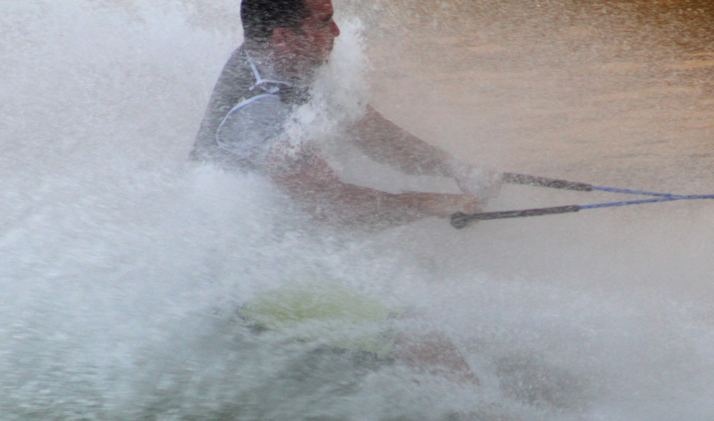
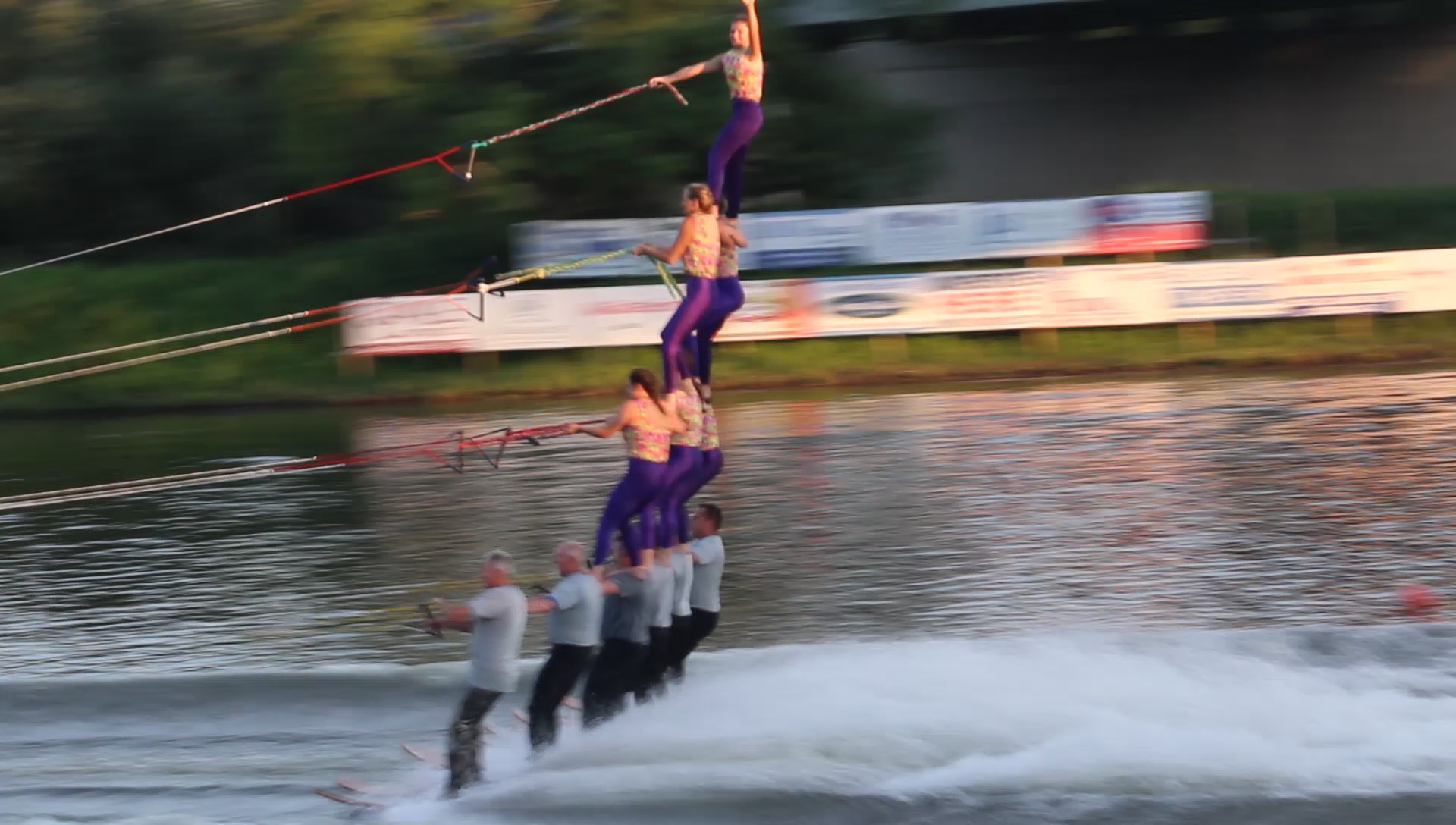
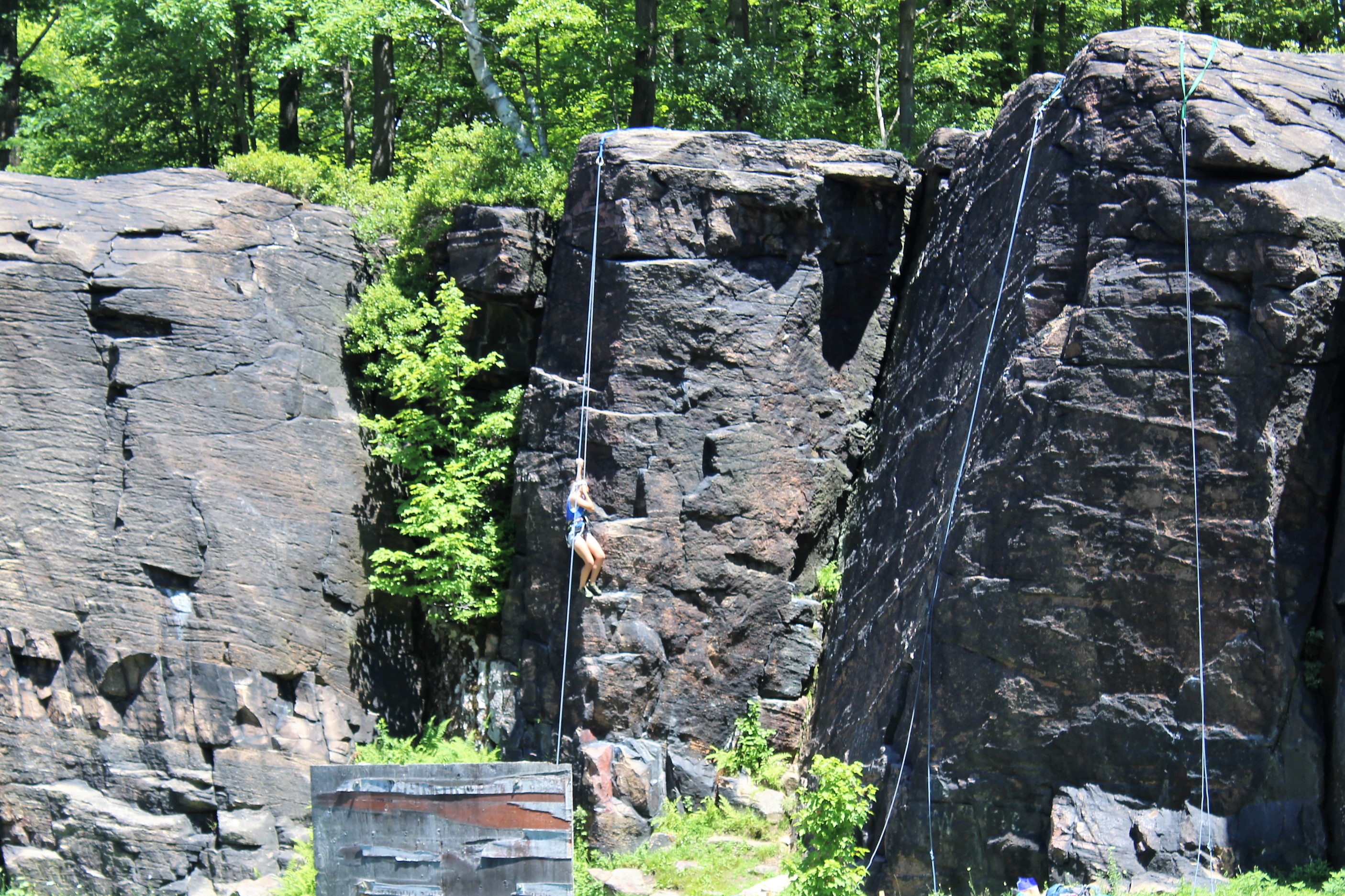
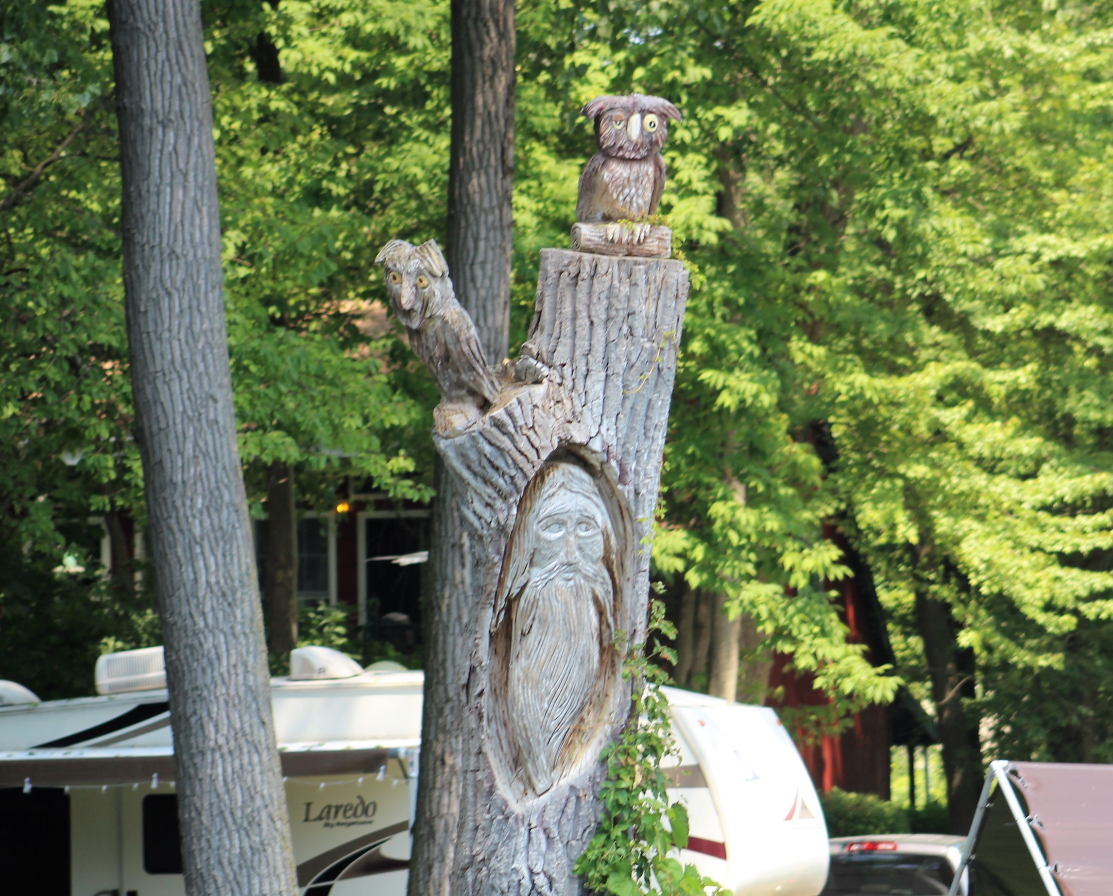
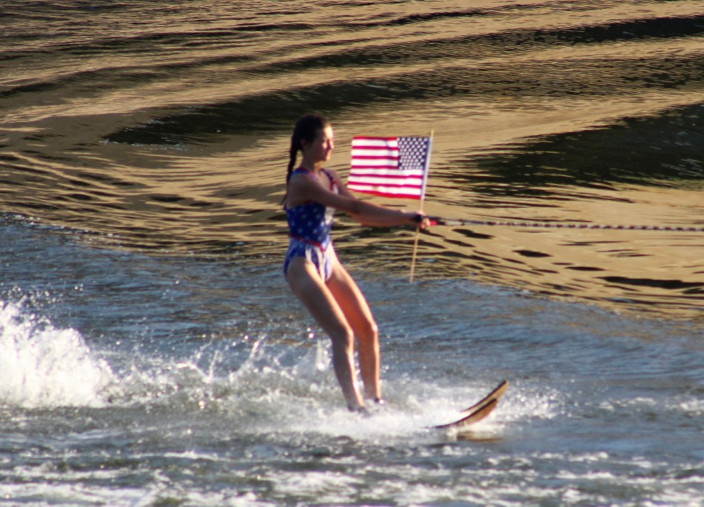
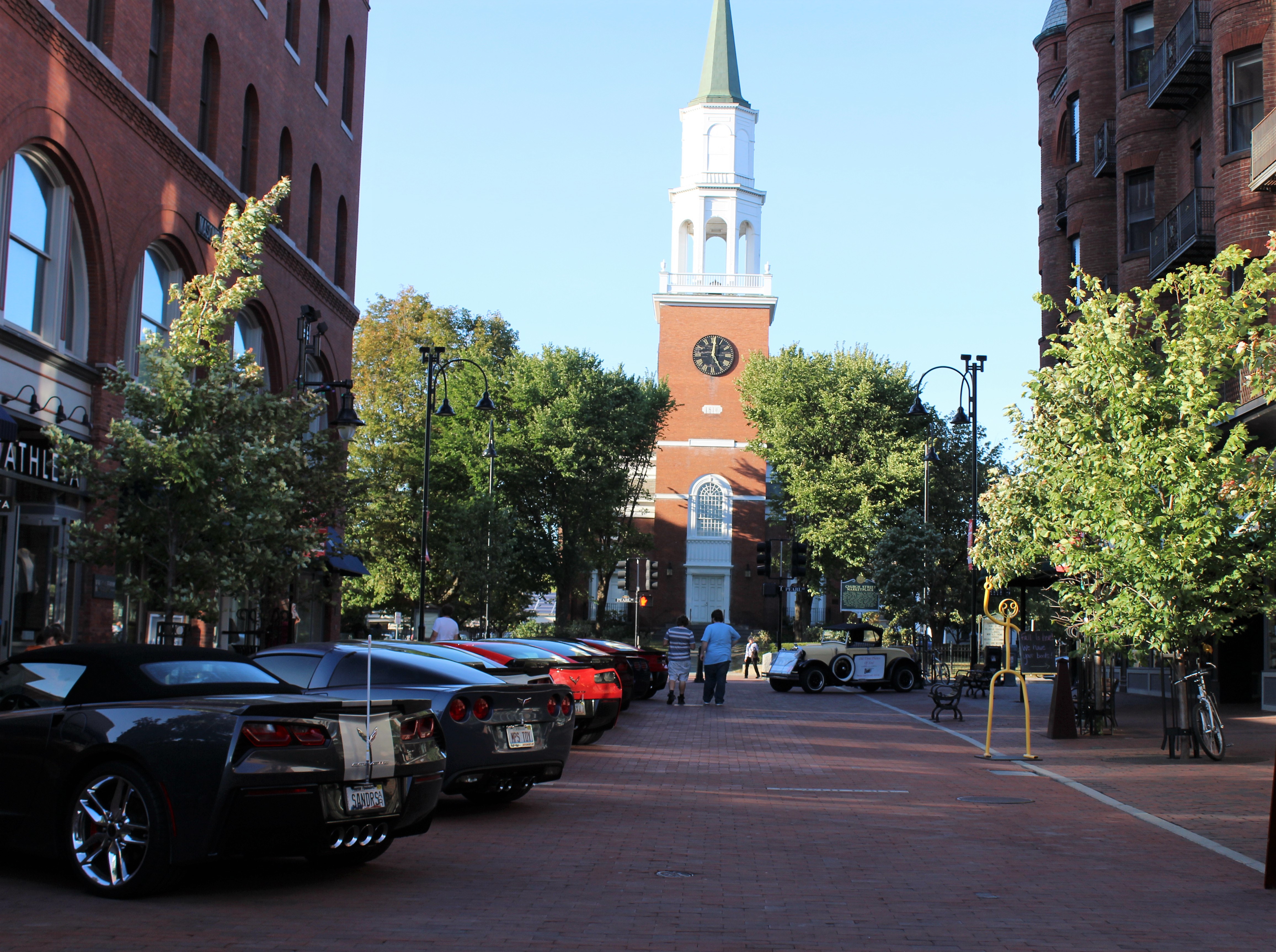
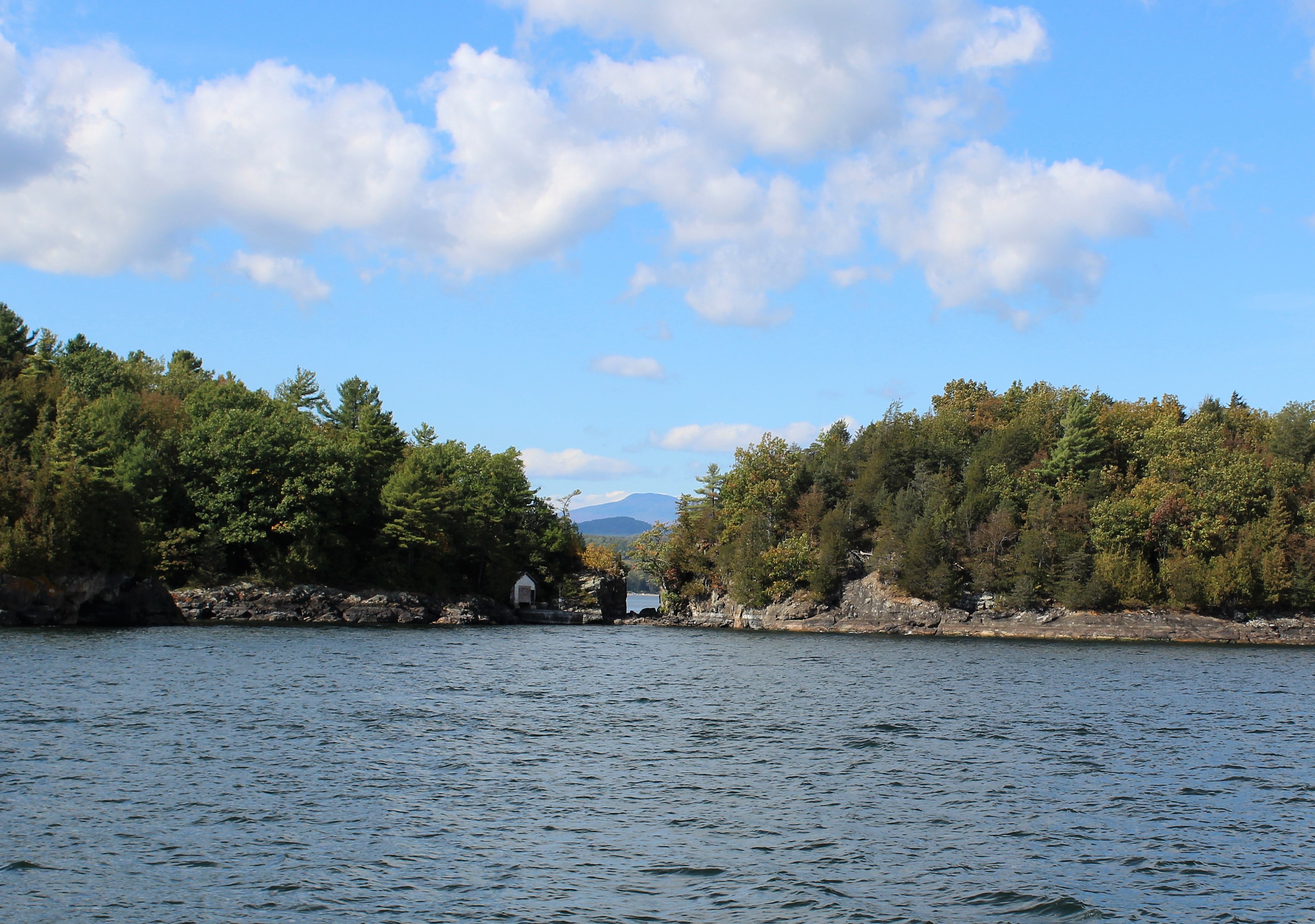
After exiting Lock E7, it was 8 more miles to the town of Scotia where the crew tied up for the night at the municipal dock. Upon arrival though, they learned that a ski team puts on a show every Tuesday Night, about a hundred yards north of the dock.

At 1900, the crew wandered down and joined the crowd that had gathered to watch the ski show.
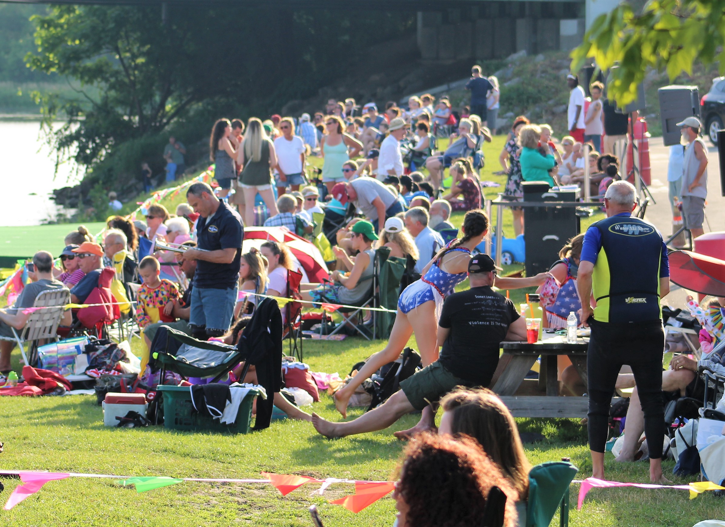
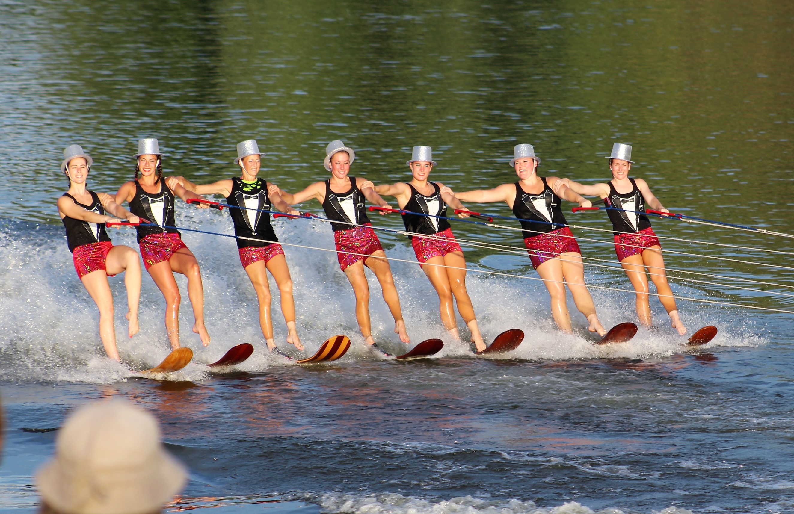
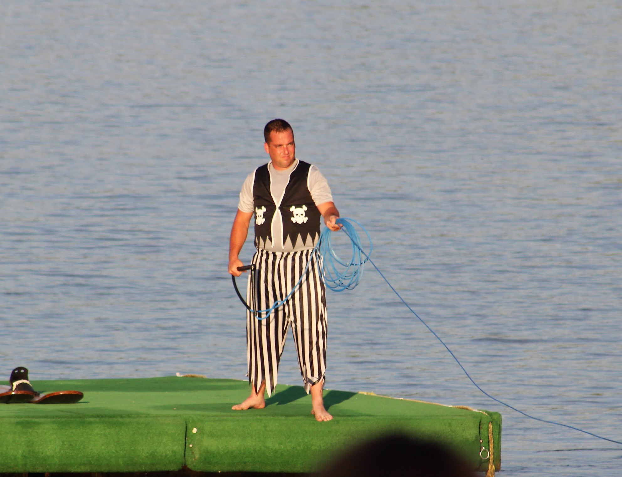
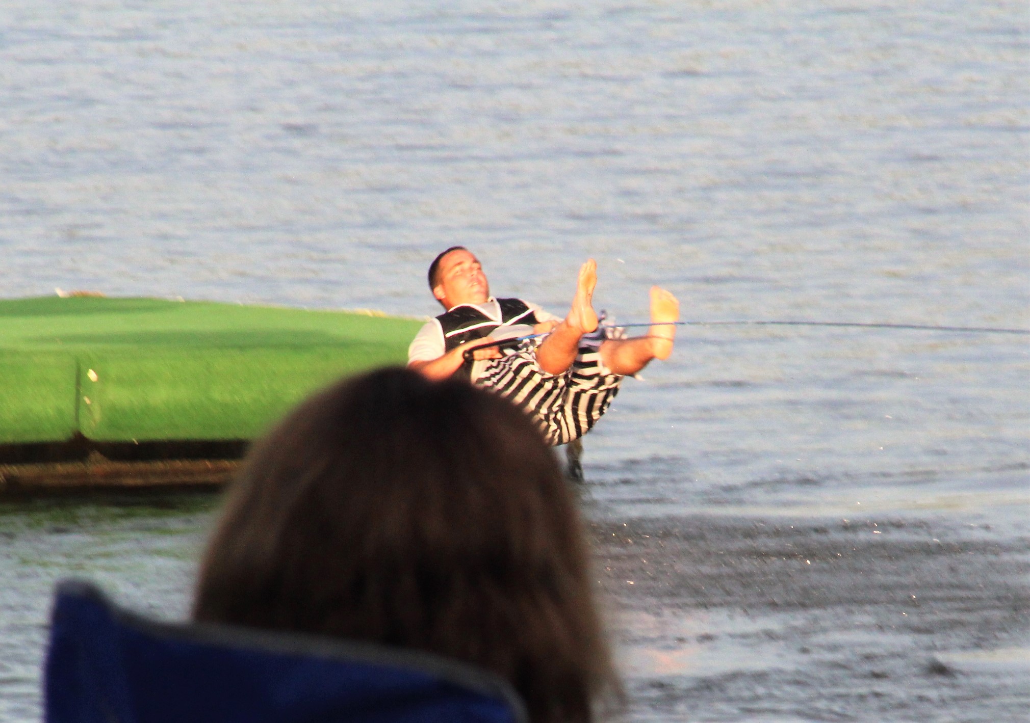
This was the 50th anniversary of the ski team, so they were doing a montage from past competitions and shows. They had skiers from all generations of the ski team performing, also. A few pics from the show: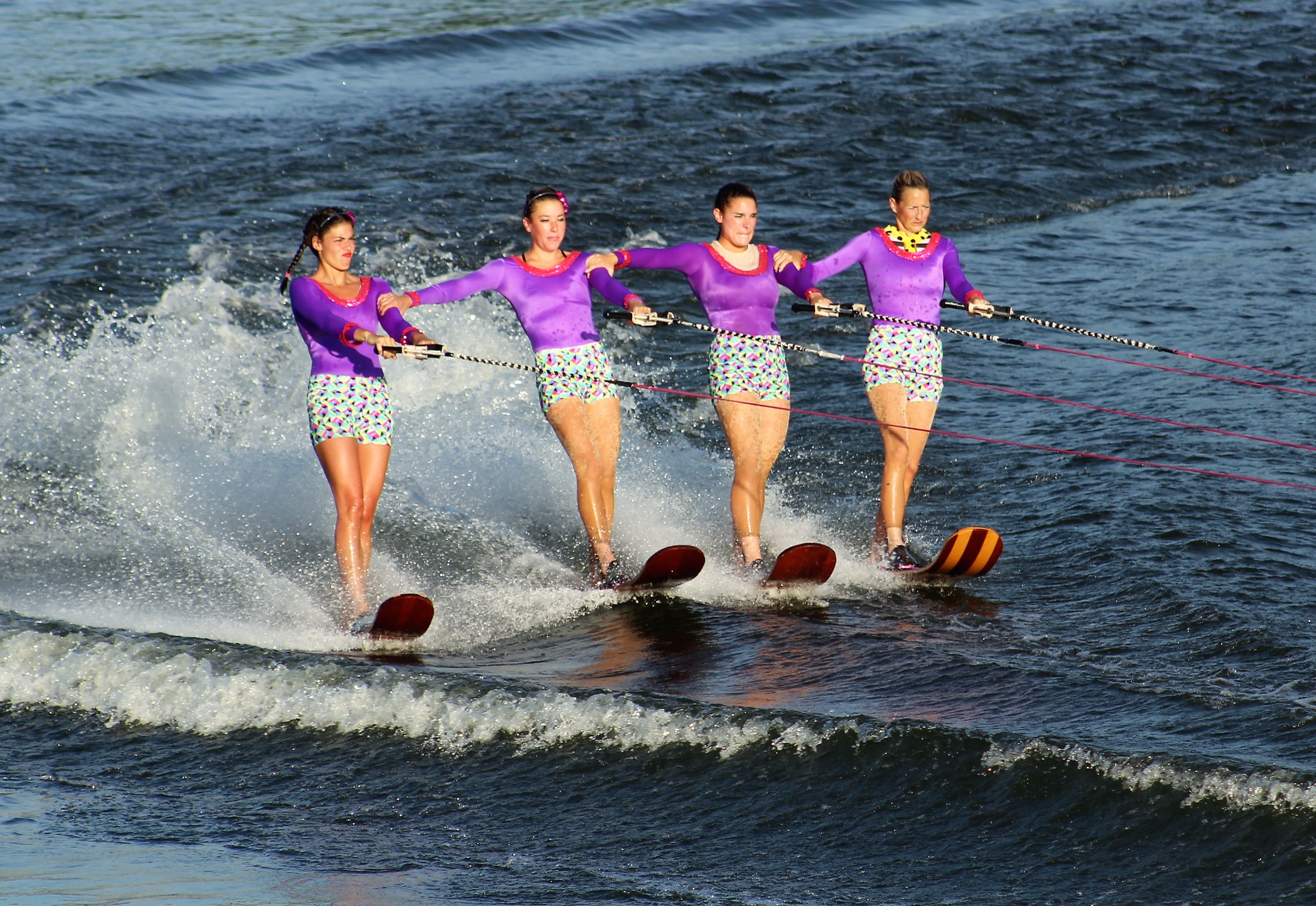

The Bare footer
The Grand Finale, 4 tier pyramid
Wednesday, July 4th
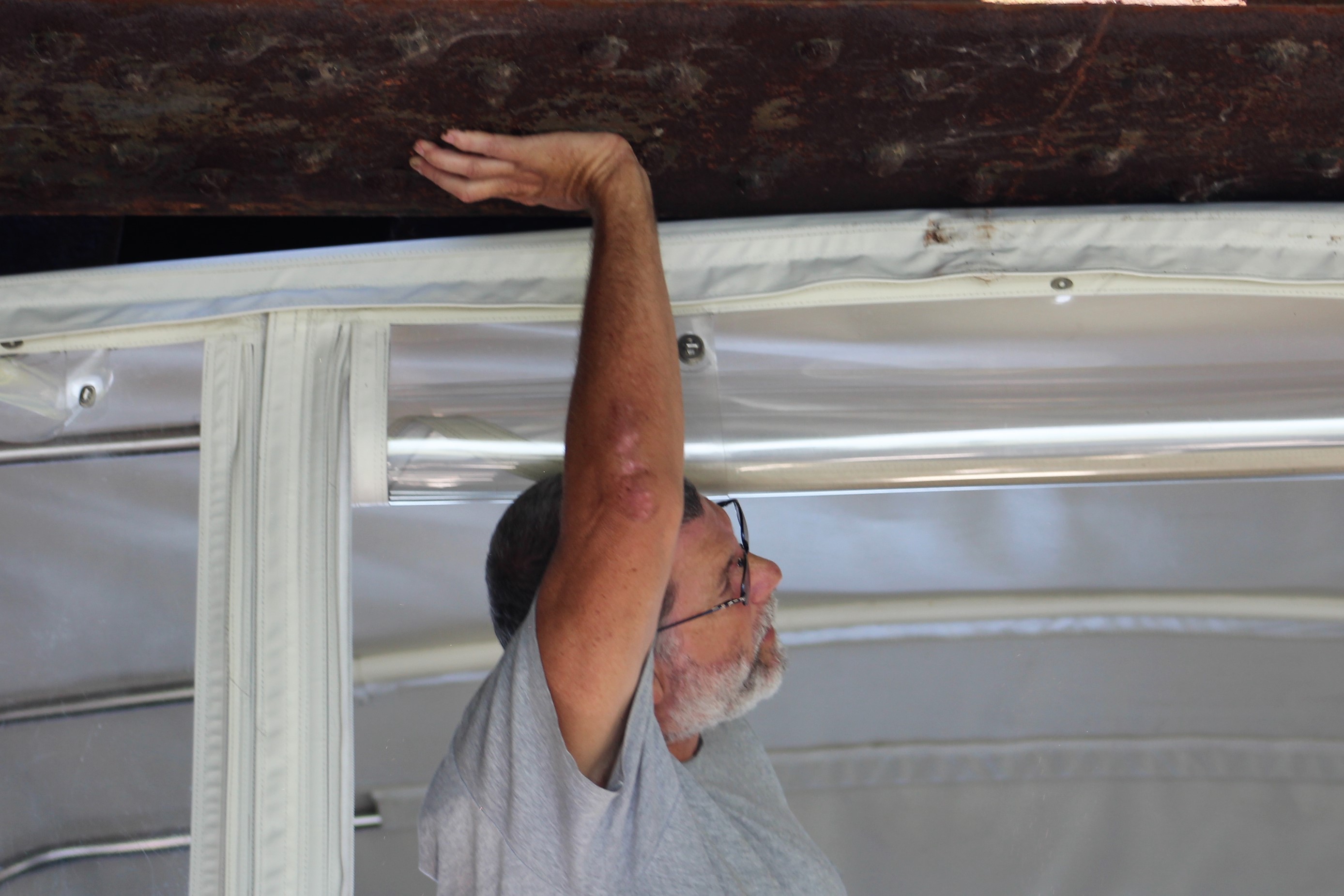
The crew decided to spend a second day in Scotia. They did not do much, but they did enjoy grilling burgers and dogs at the Freedom Park next to the docks. Unfortunately, the second line of power went out on the boat in the late afternoon. The skipper has exhausted his troubleshooting and will have to find a marine electrician to fix the problem. It looks as though the Line 2 Main Breaker may of failed. The main consequence though, loss of air conditioning during the New York heat wave.
Off to go see the local fire works demonstration. The casino is footing the bill, so the crew hopes it is a good show.
Thursday, July 5th
The crew set a goal to make Canajoharie by the end of the day. In 2016, when the crew wished to stop here the docks were full and people were rafted two abreast. The crew skipped this stop and went two locks further west.
To arrive at Canajoharie, the crew would have to pass through six locks. These would be smaller locks, so much easier than Tuesday. Also, the heat index is near one hundred again today, so it will be necessary to stay hydrated while locking through.
With calm conditions predicted all day, the Admiral decided she would practice her boat handling skills by motoring off the lock walls once the lock operator opened the gates. She did an excellent job.
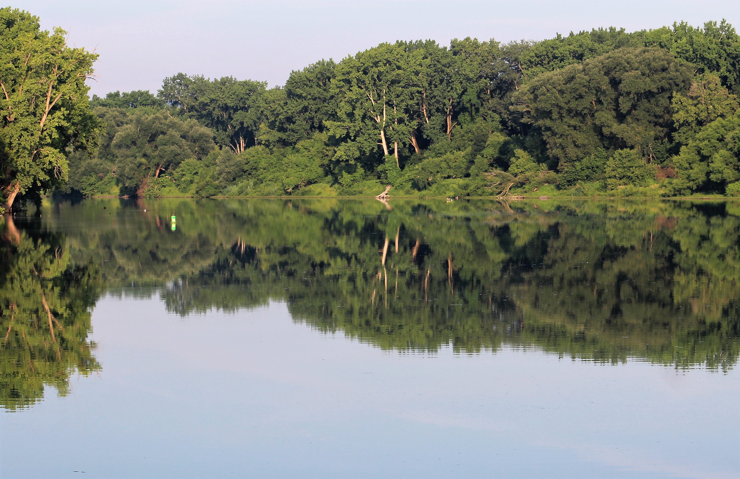
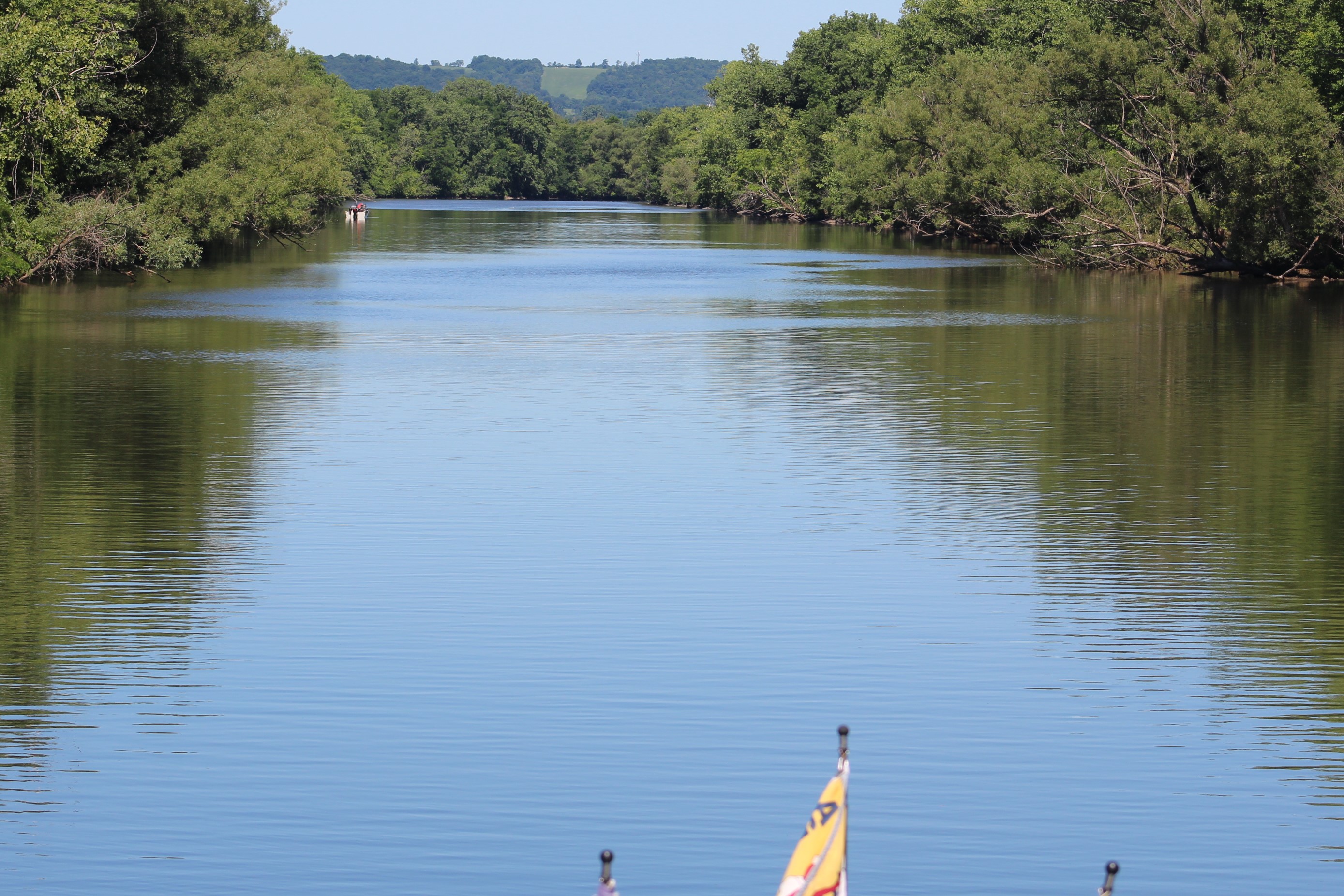
The winds were non existent when the crew shoved off the dock. The water was like a mirror.
Lock E8, Scotia, up 14 feet
The crew entered lock E8 with a boat named Patricia Ann. After the gate closed, the lock operator started to raise the water level in the lock, but then stopped. The skipper noticed the lock was draining, and then the gates swung back open to allow a third vessel in the lock.
Today’s lock buddies
Lock E9, Rotterdam, up 15 feet
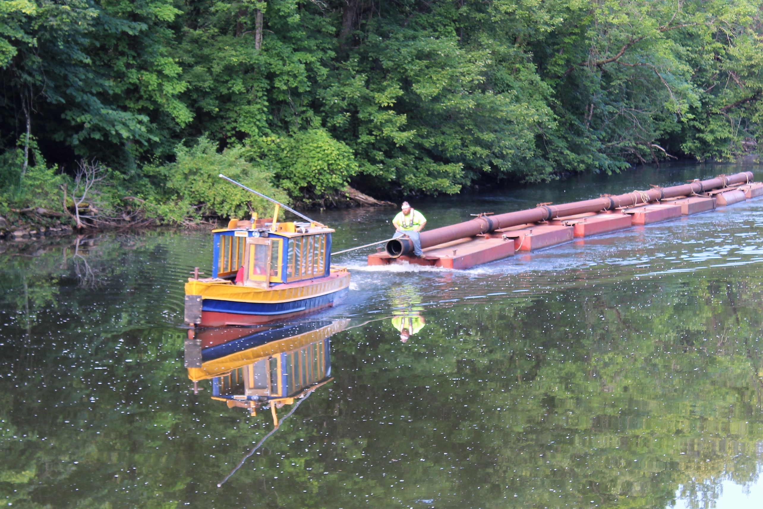
Lock 9 has an interesting piece of history. While the skipper approached the Lock, he noticed that the charts plotted a total of 5 sunken vessels, above and below the lock, just to the side of the channel. The vessels are concrete barges that were built in WWI. Following the war, the state of New York gained control of the barges and used them as approach walls for the lock.
And why would the US government build barges and ships out of concrete you ask? During the war, metals such as steel were at a premium, so they used reinforced concrete rather than steel to build the barges and some ships. Twelve concrete ships were commissioned during WWI. The government did the same thing during WWII, and commissioned 24 concrete ships.
Lock E10, Cranesville, up 15 feet
Lock E11, Amsterdam, up 12 feet
The Admiral managing the bow line in lock 11

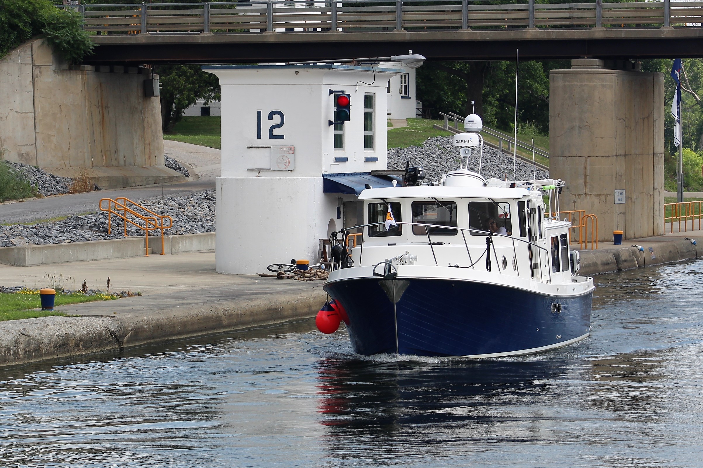
Lock E12, Tribes Hill, up 11 feet
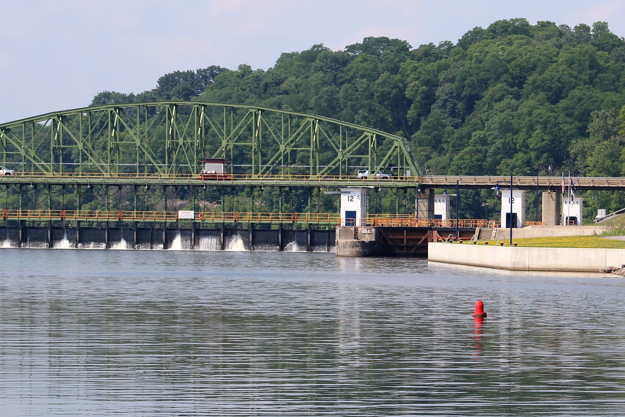
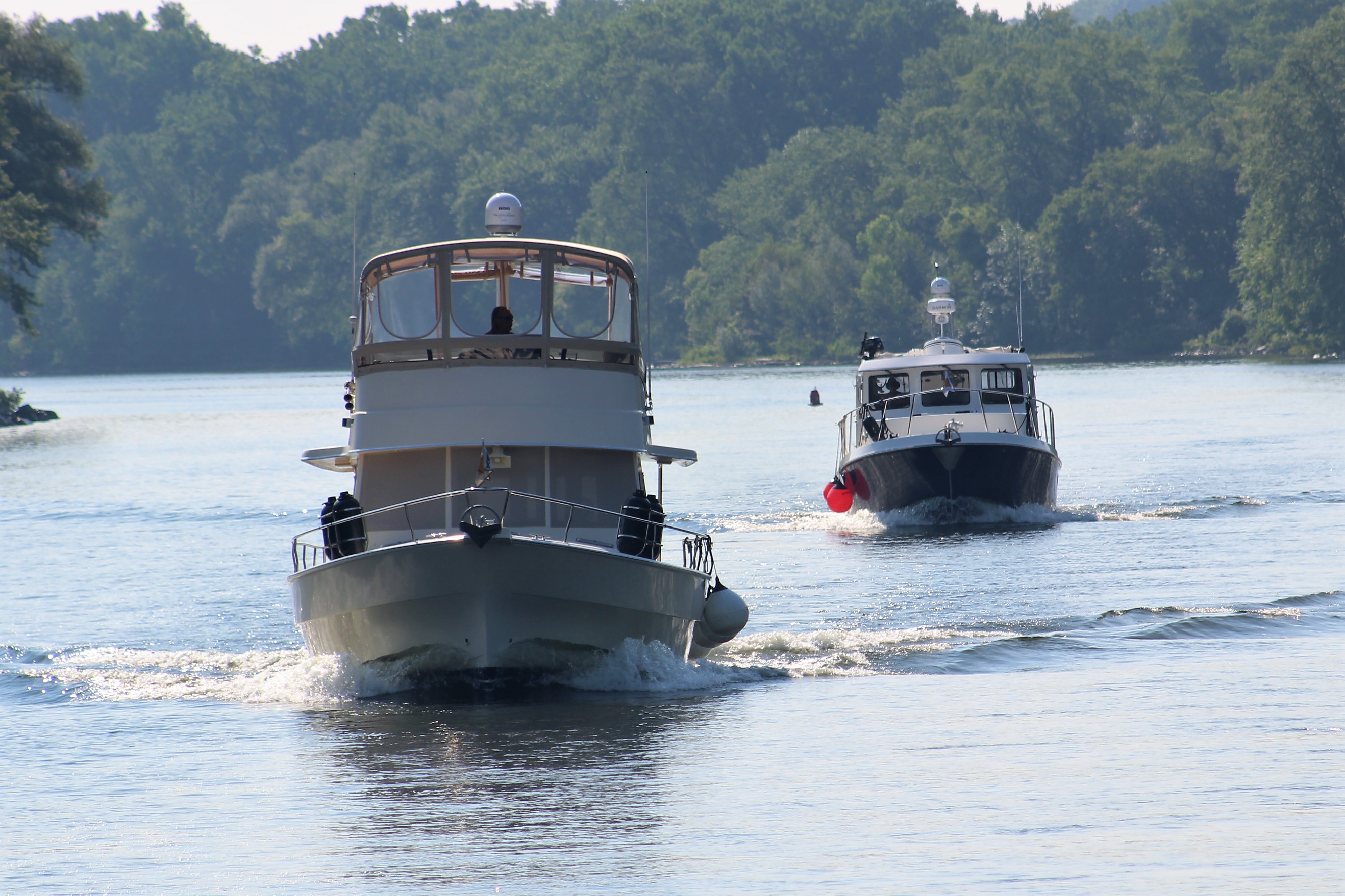
While in Lock 12, the skipper struck up a conversation with the Captain of the Patricia Ann. They are from Alaska, and will also be doing the western Erie Canal. The crew will probably be seeing more of the Patricia Ann in the days ahead.
The Patricia Ann
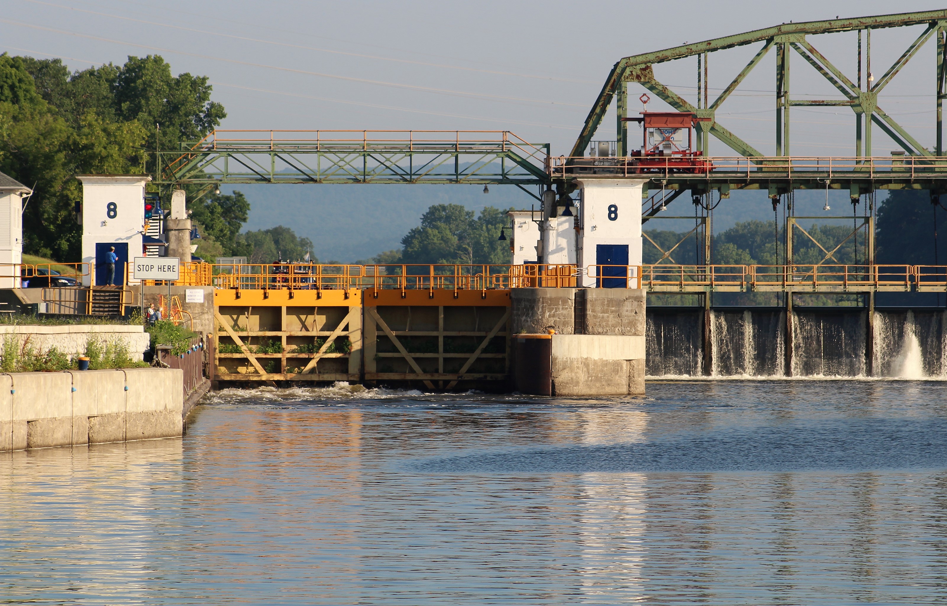
Lock E13, Randall, up 8 feet, last lock of the day
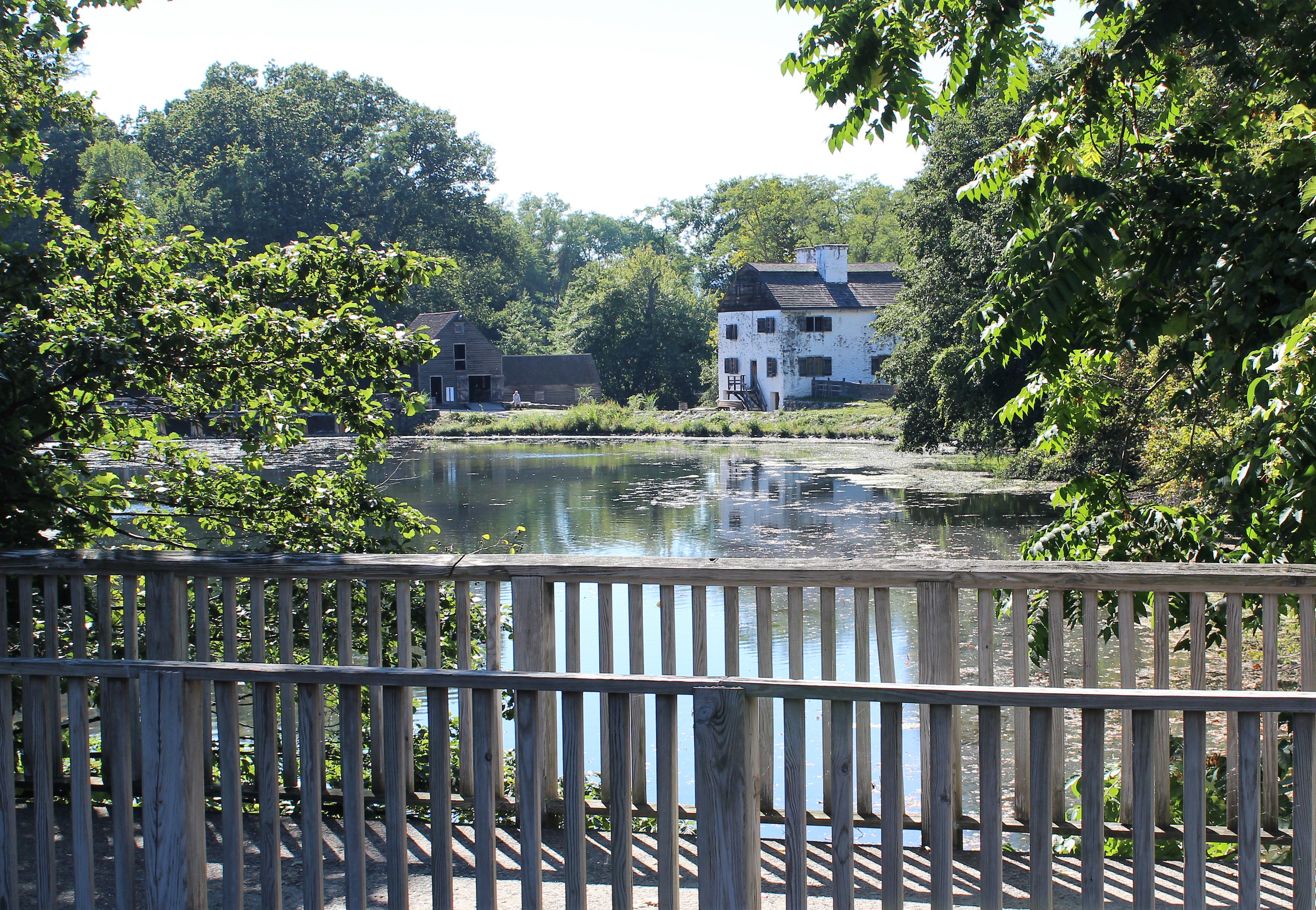
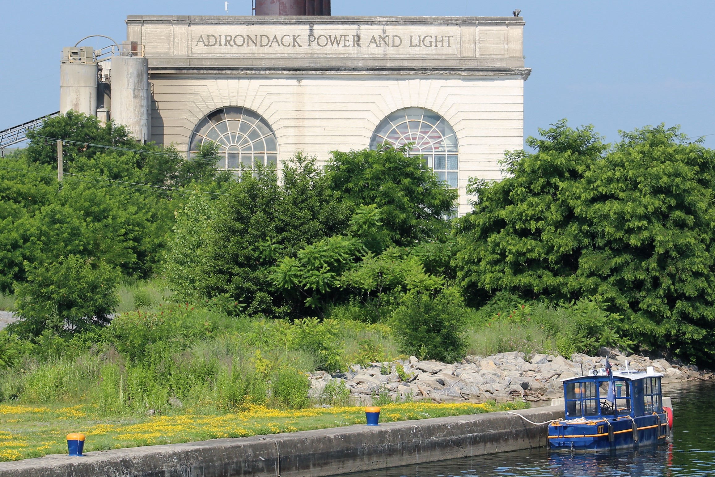
After exiting Lock E13, it was seven miles to the Riverfront Park in Canajoharie. On the way, the crew passed an empty building. Back in the early 1900’s, there was not local power available to operate the locks, so the Canal Authority built local power plants to power the locks. They contained two 50 KW turbines.
Upon arrival, there was no dock space with electric power. However, there was space on the terminal wall where the crew tied up. With no power, there will be no air conditioning which will make for a long hot afternoon. And probably a long hot night. Makes you wonder how people survived the summers down south before the invention of air conditioning.
Friday, July 6th
The heat wave finally broke. It is only supposed to get in the mid 70’s today with a low in the 50’s tonight.
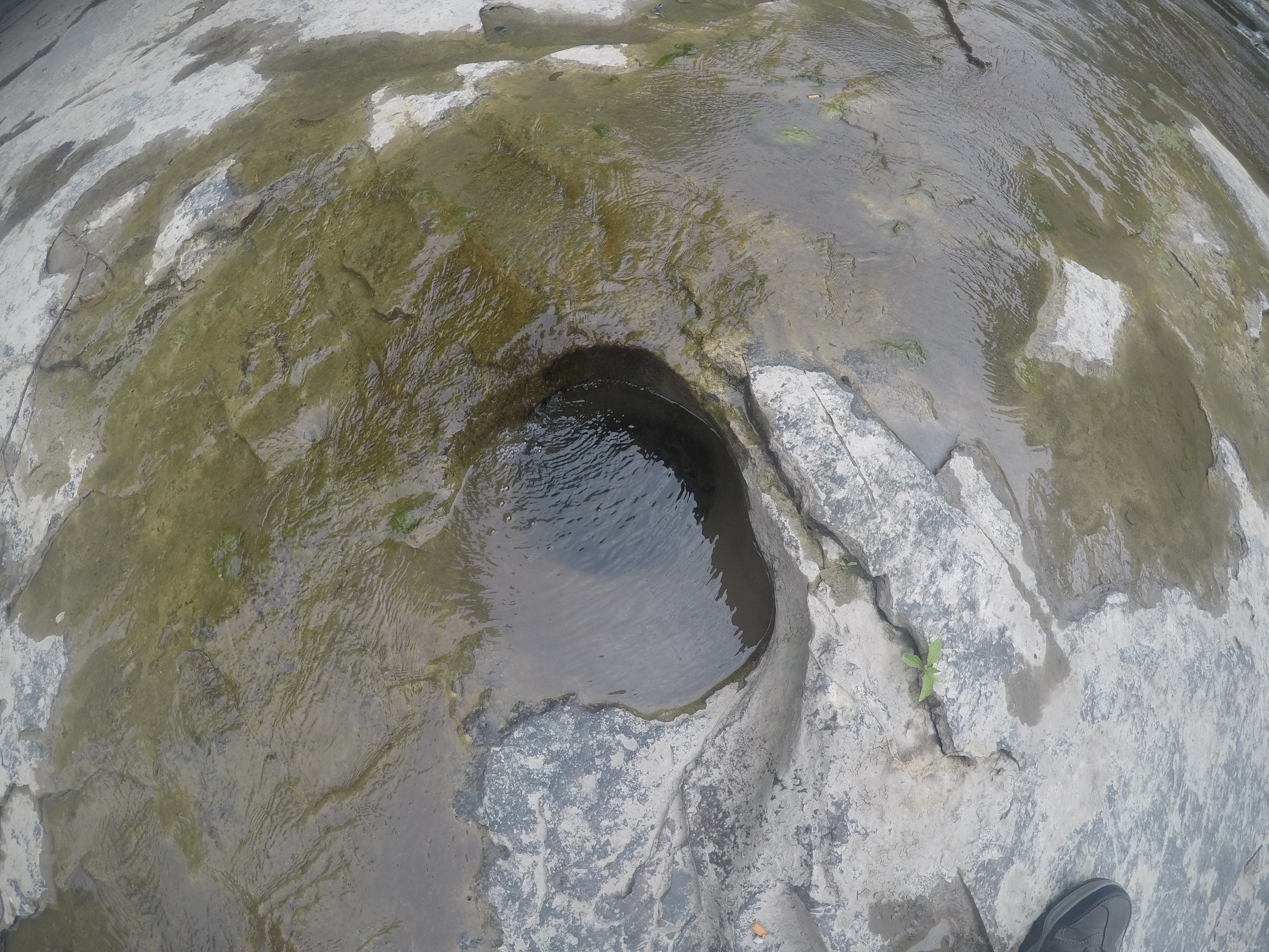
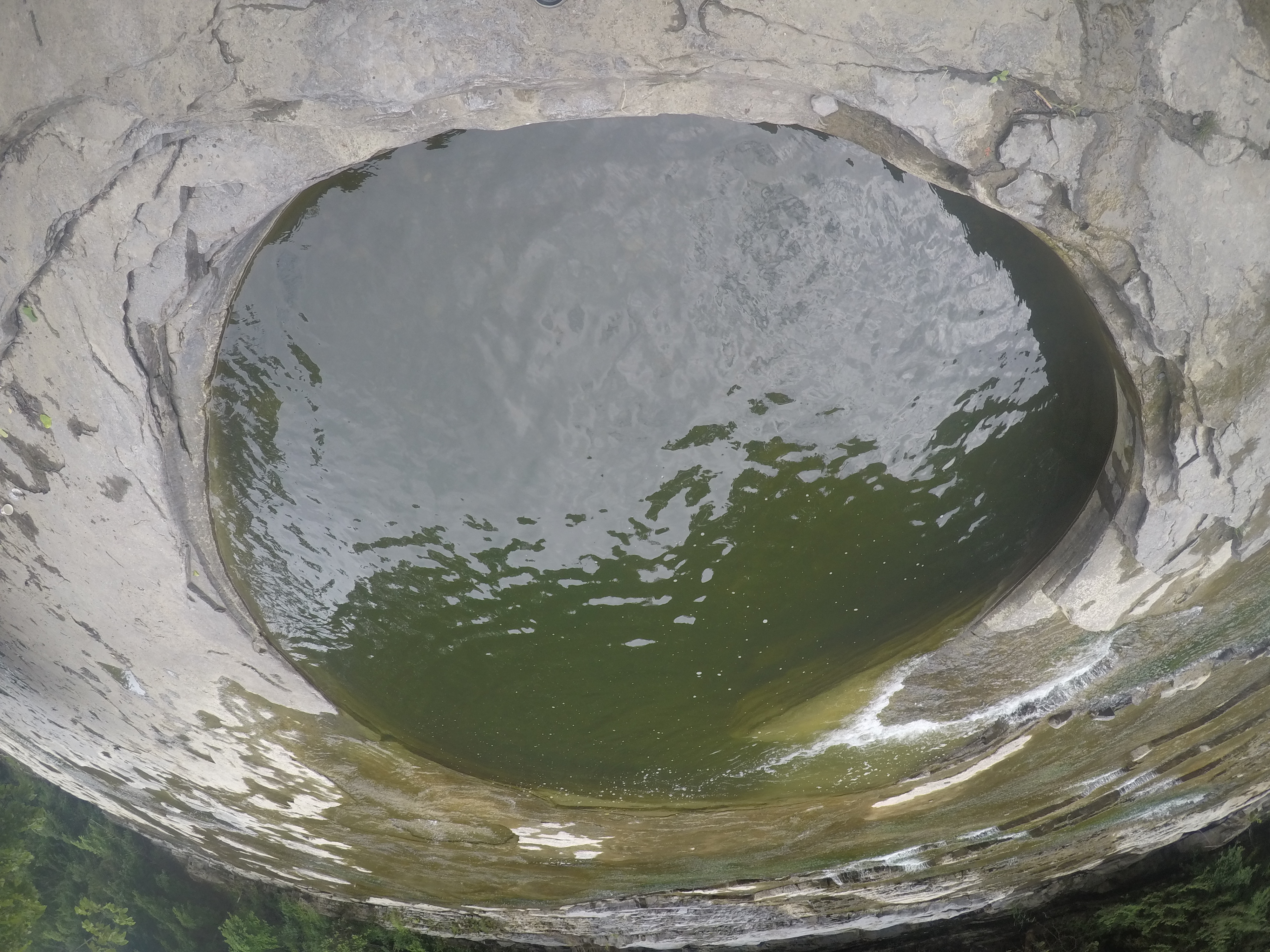
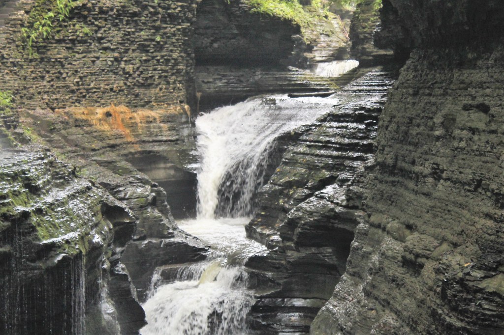
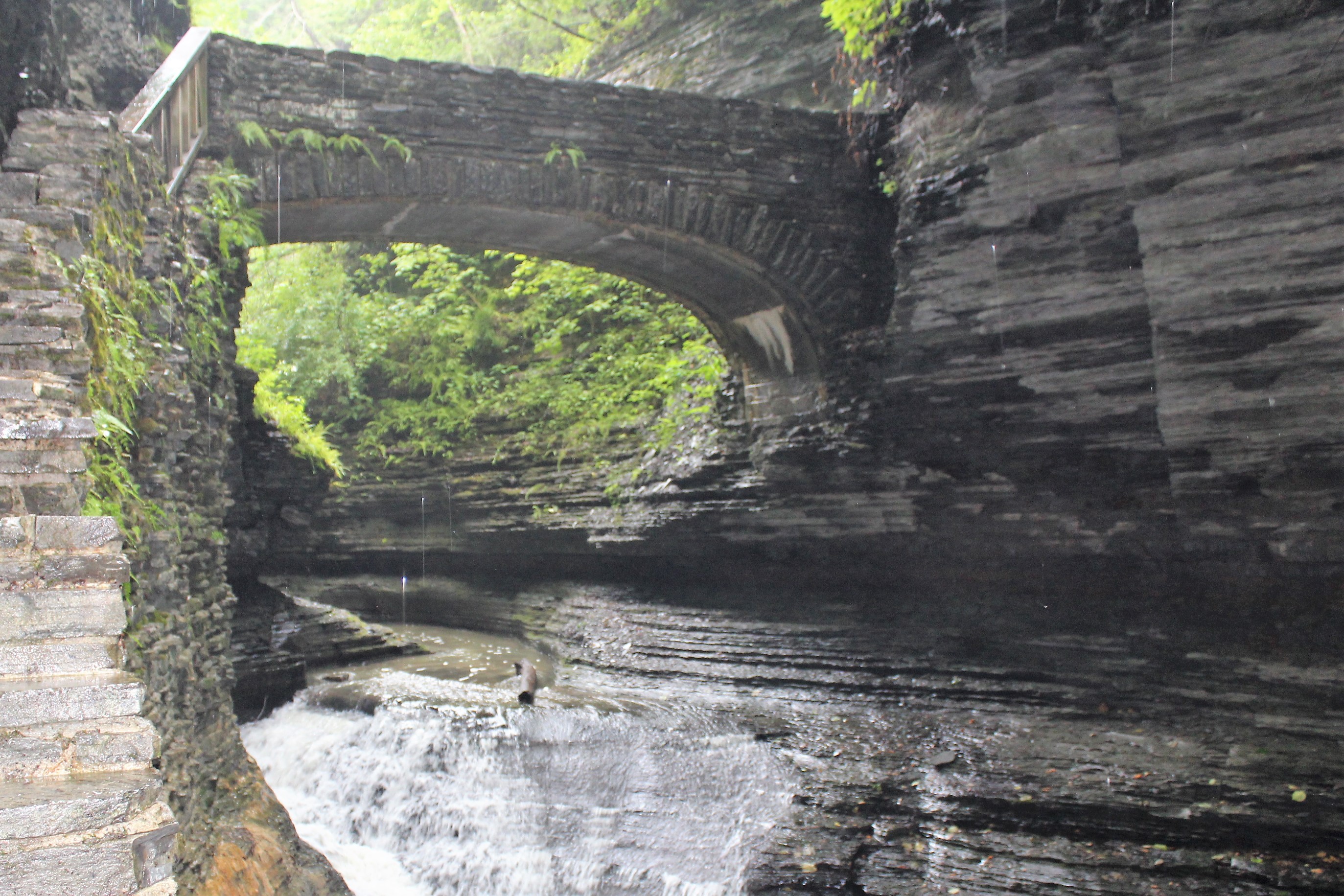
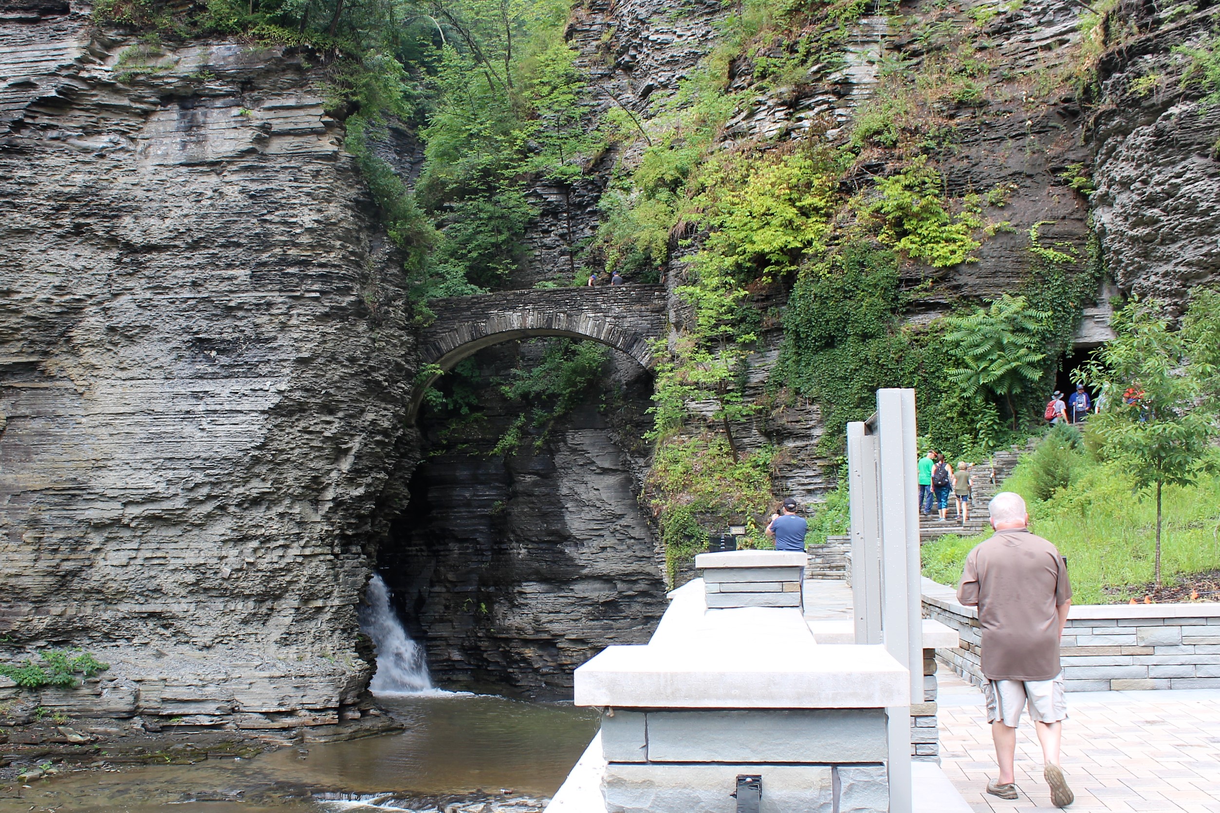
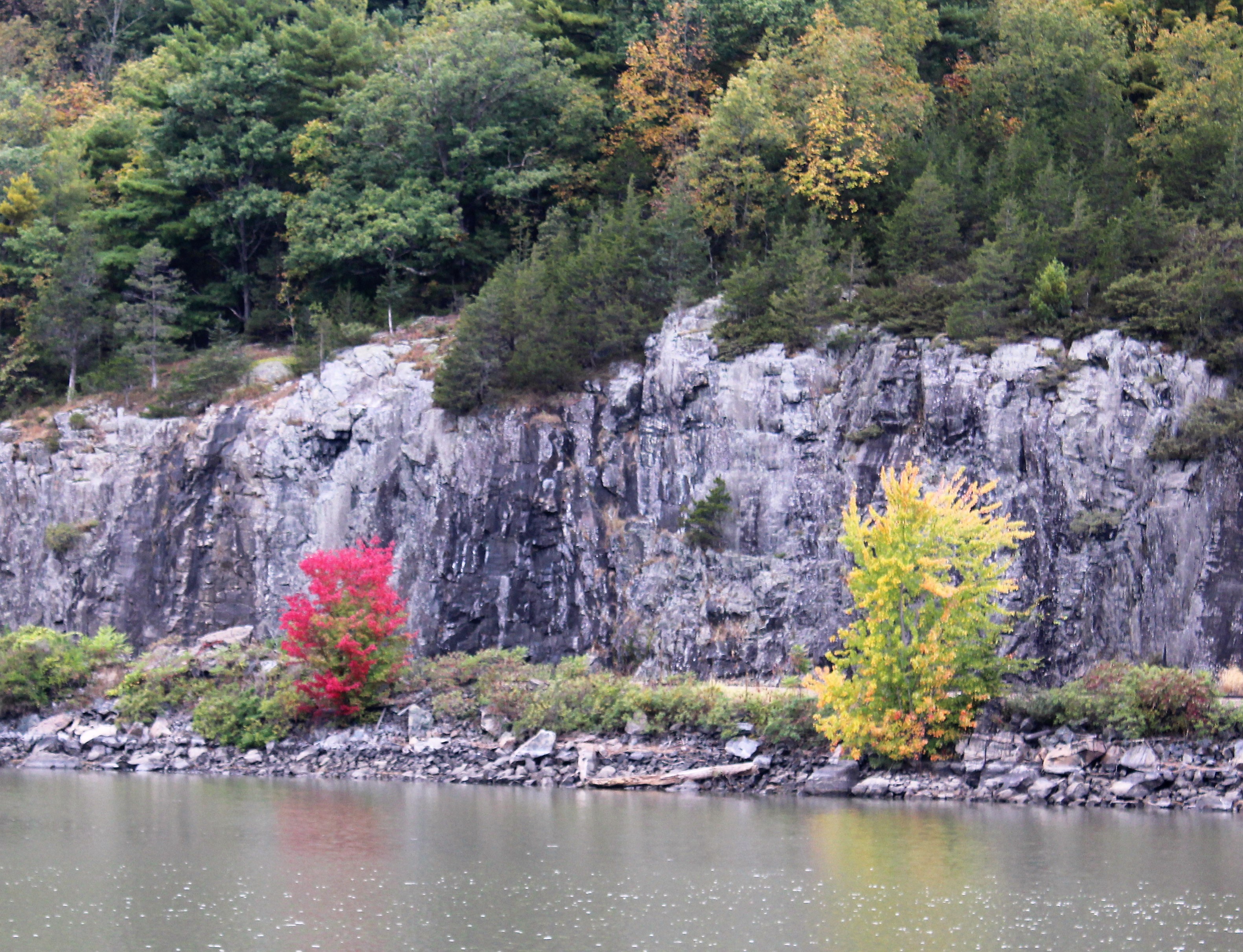
With the temperatures moderated, the skipper decided to set out and explore the name sake of Canajoharie. The name is Mohawk for ‘Boiling Pots.’ The Canajoharie Creek bed is lined with soft shale rock. As the water cascades down the river bottom it has eroded the shale rock into round holes, called ‘boiling pots.’
The creek bottom looked very much like walking the dinosaur tracks in the Paluxy River back in Glen Rose, Texas.
Canajoharie Creek

A small boiling pot, only 1 foot in diameter
Larger Boiling Pot, 10 feet in diameter, maybe 5 foot deep
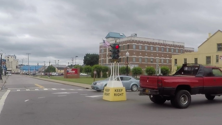
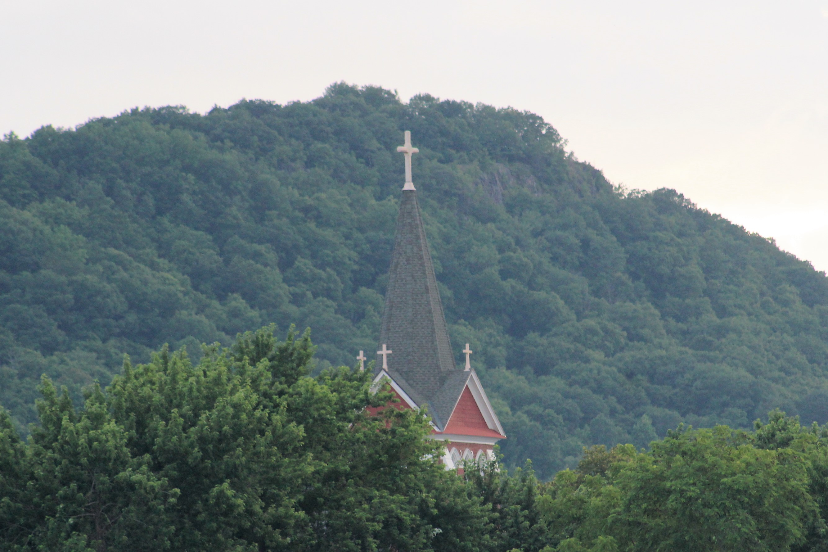
On the way back to the boat the skipper passed two interesting things. One was a reference to the hot temperatures over the last few days. The other was a traffic light that is placed directly in the middle of the intersection.
Church Warning

Traffic Light in the middle of the road
The skipper decided to do some more troubleshooting on the Main Line 2 bus and breaker. After taking multiple voltage readings, it looks like the Main Line 2 Breaker has failed. The skipper cycled the breaker open and shut several times, but still no power getting to the individual component breakers.
Saturday, July 7th
Headed out today towards Ilion Village Marina, just past Lock E18. The crew would get stepped up 196 feet through five Locks, including the largest step on the Erie Canal. They would also end the day with a great discovery.
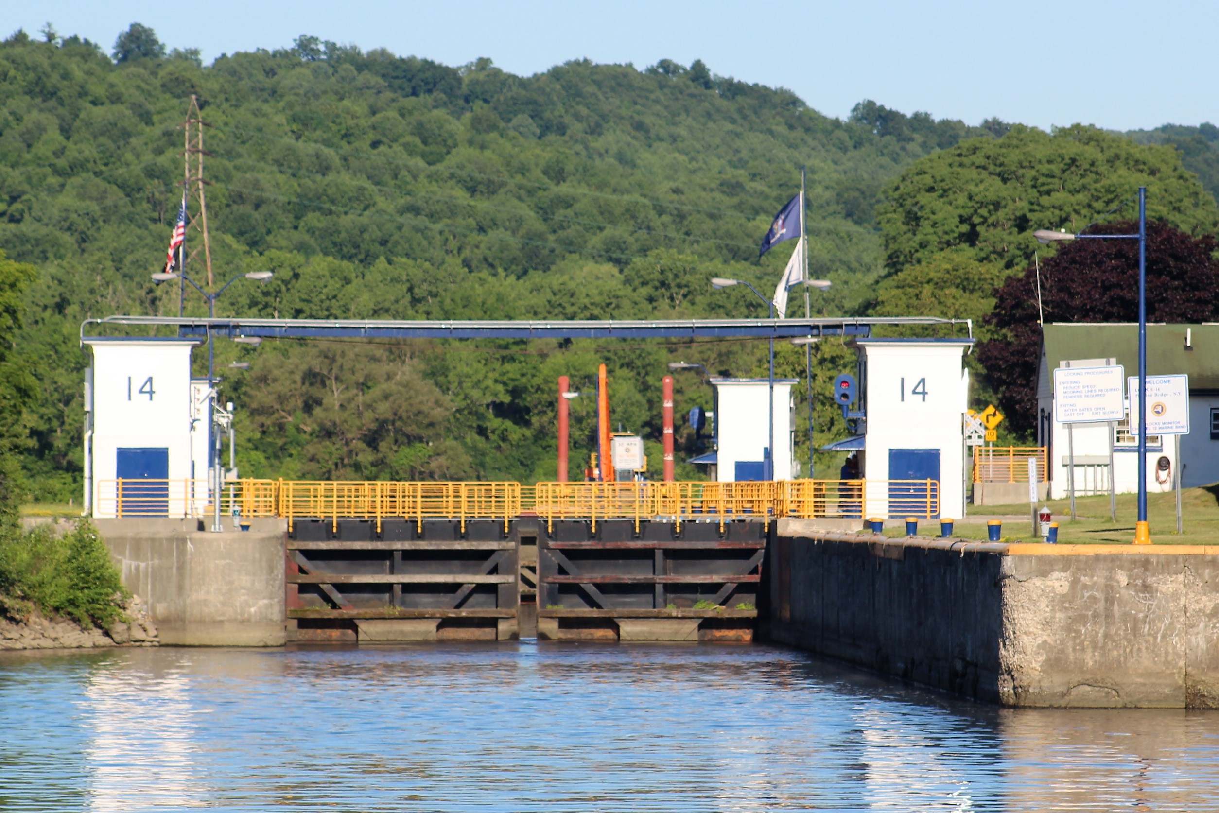
Lock E14, Canajoharie, up 8 feet
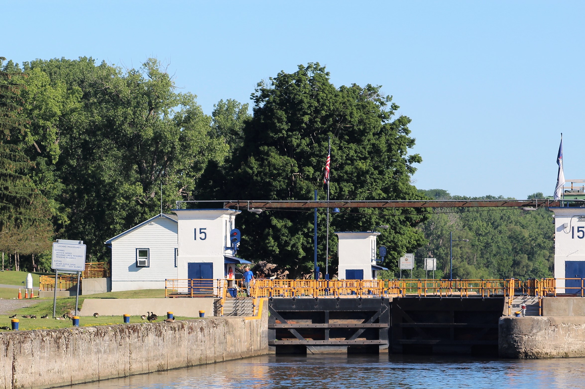
Lock E15, Fort Plain, up 8 feet, most western Lock that is directly on the Mohawk River
Lock E16, St Johnsville, up 20 feet
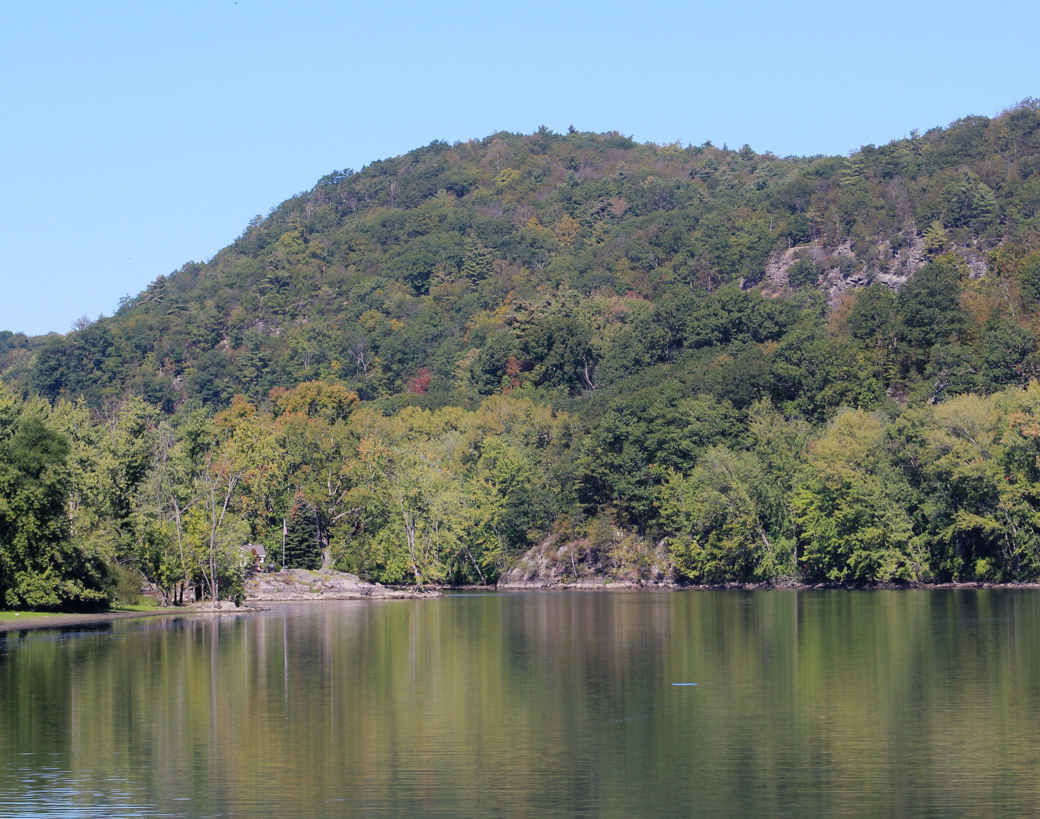
The Mohawk River turns to the right just before the Lock. During construction of the modern Erie Canal, the designers dug a 3.6 mile ditch along side the old Erie Canal and the Mohawk River. Lock E16 is the entry into this man-made canal that was dug in 1907.
The view of the man-made canal
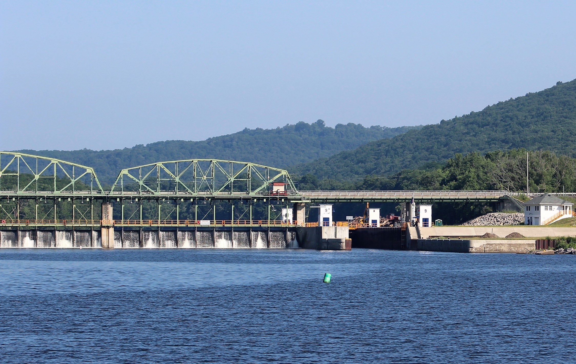
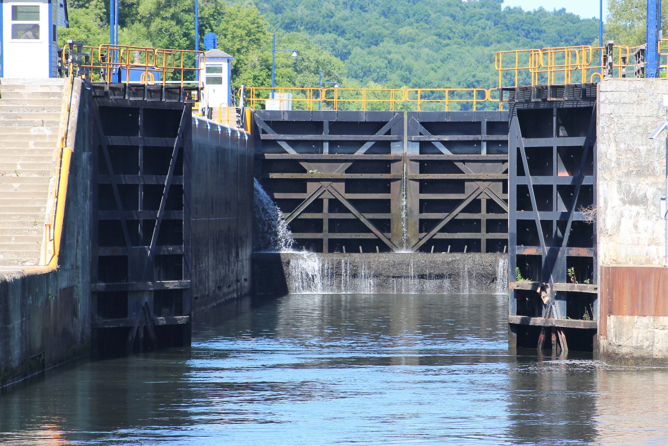
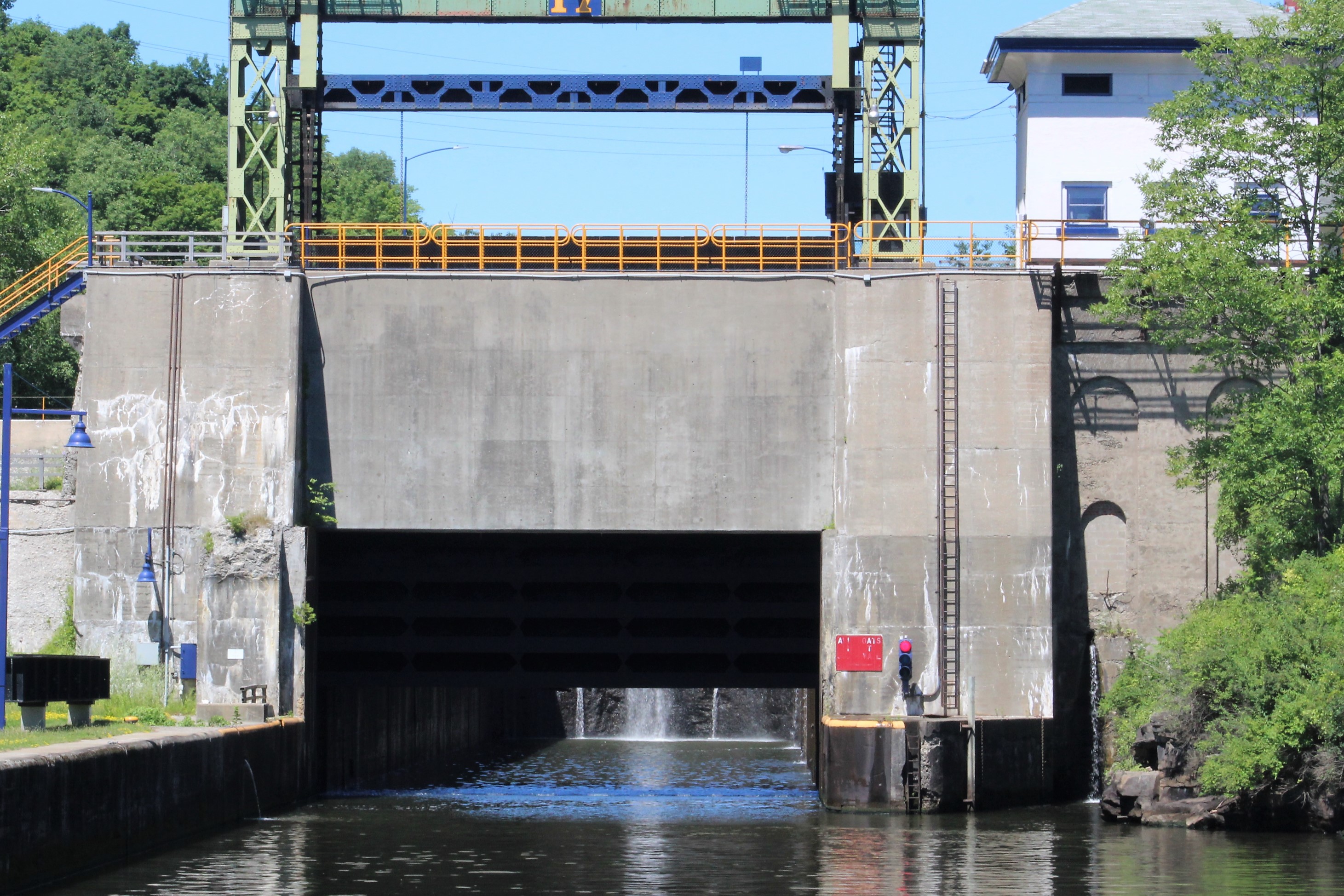
Lock E17, Little Falls, up 40 feet, being drained so the crew can enter
Lock E17 was a design challenge for the engineers back in the early 1900’s. The lock was built into solid rock and needed a unique solution to fill the chamber. Part of the design was building a pond that would be used to fill the lock.
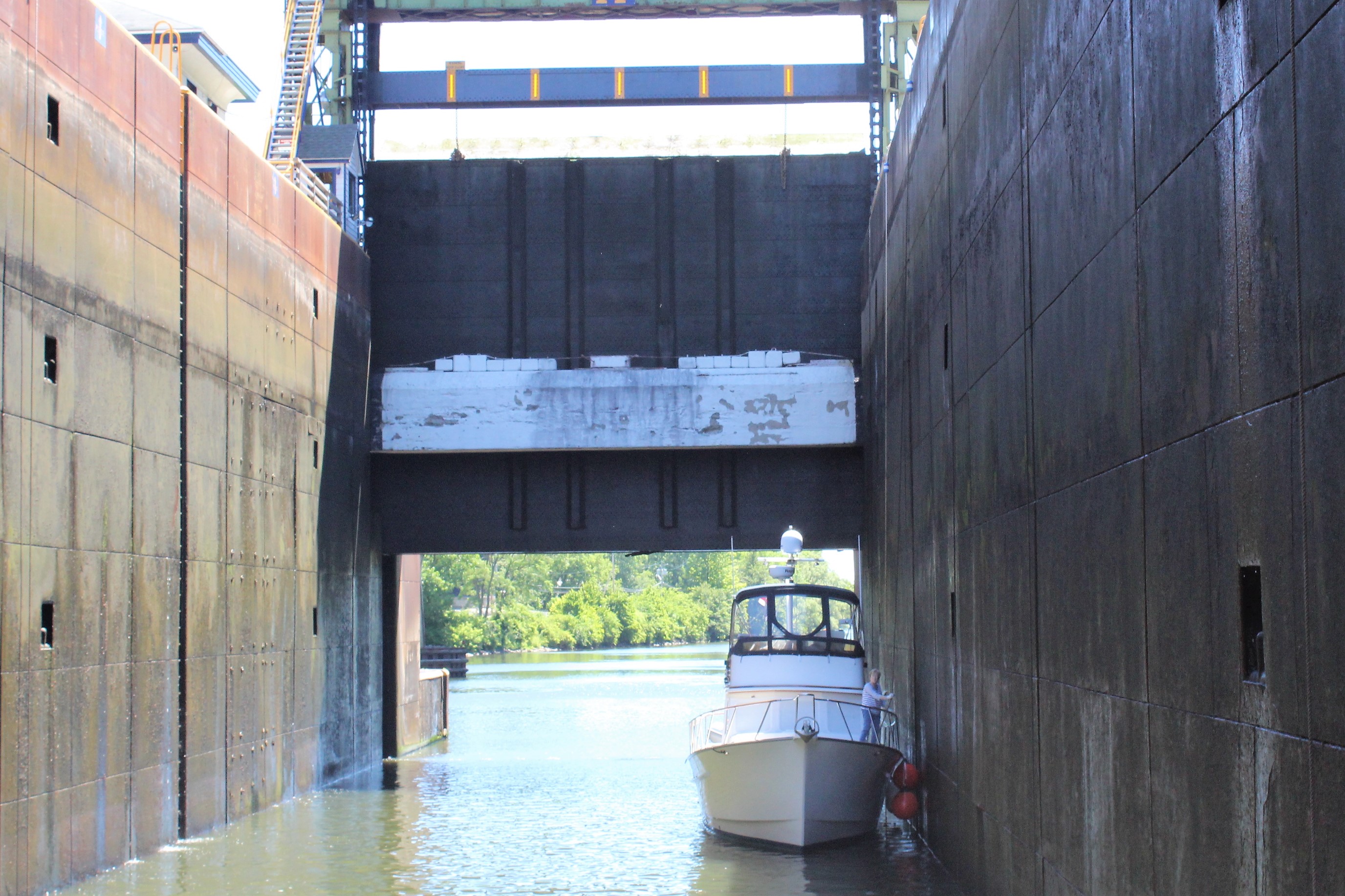
Also, this lock is the largest lift on the Erie Canal. Part of the design was a guillotine lift gate that the boater goes under. There are only two such locks in North America The other one is located on the Ottawa River in Canada.
The guillotine gate being lifted
Sea Horse in Lock E17
The solid rock that was cut for the Lock
Lock E18, out in the countryside west of Little Falls, up 20 feet
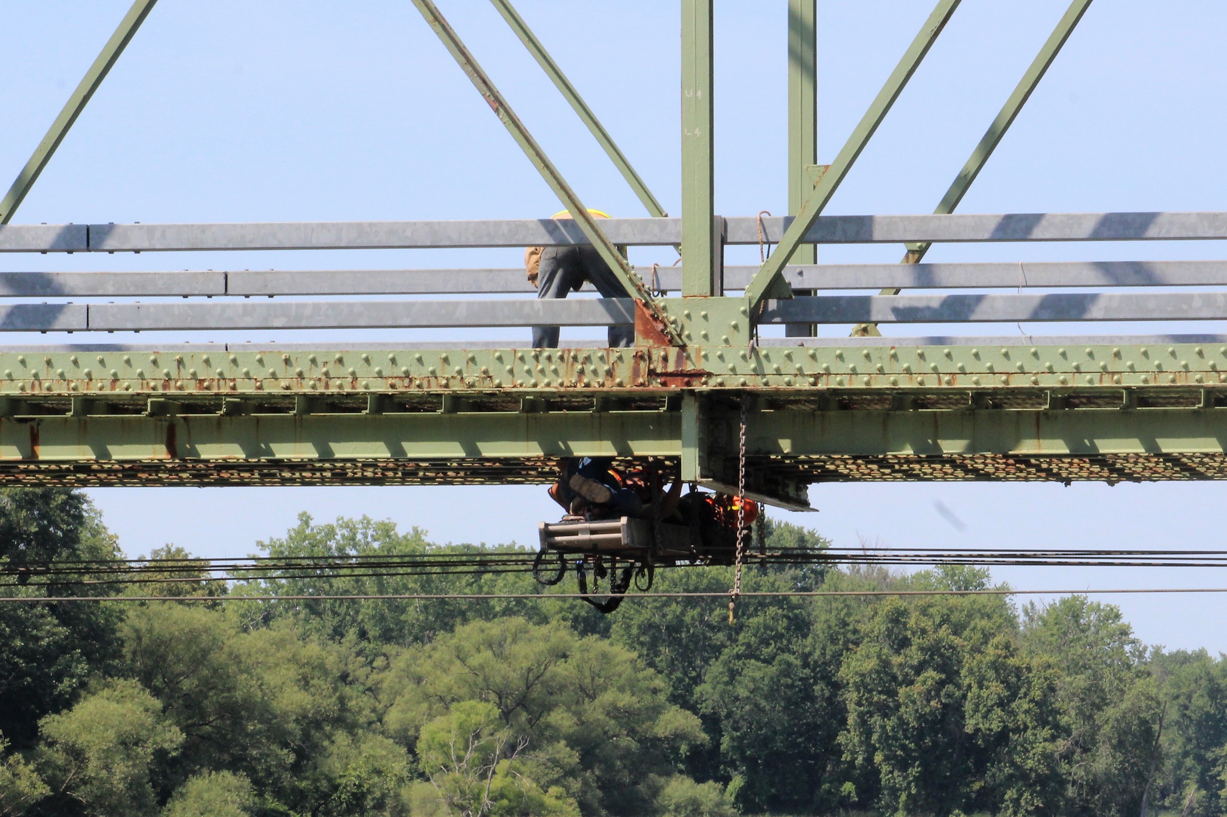
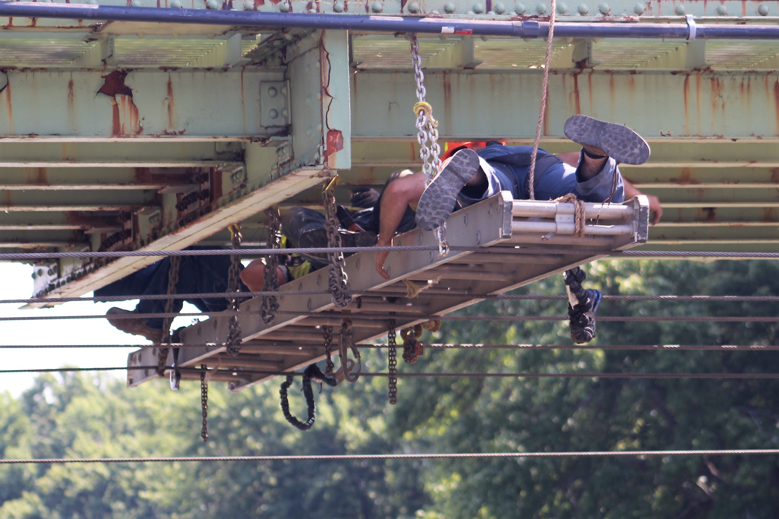
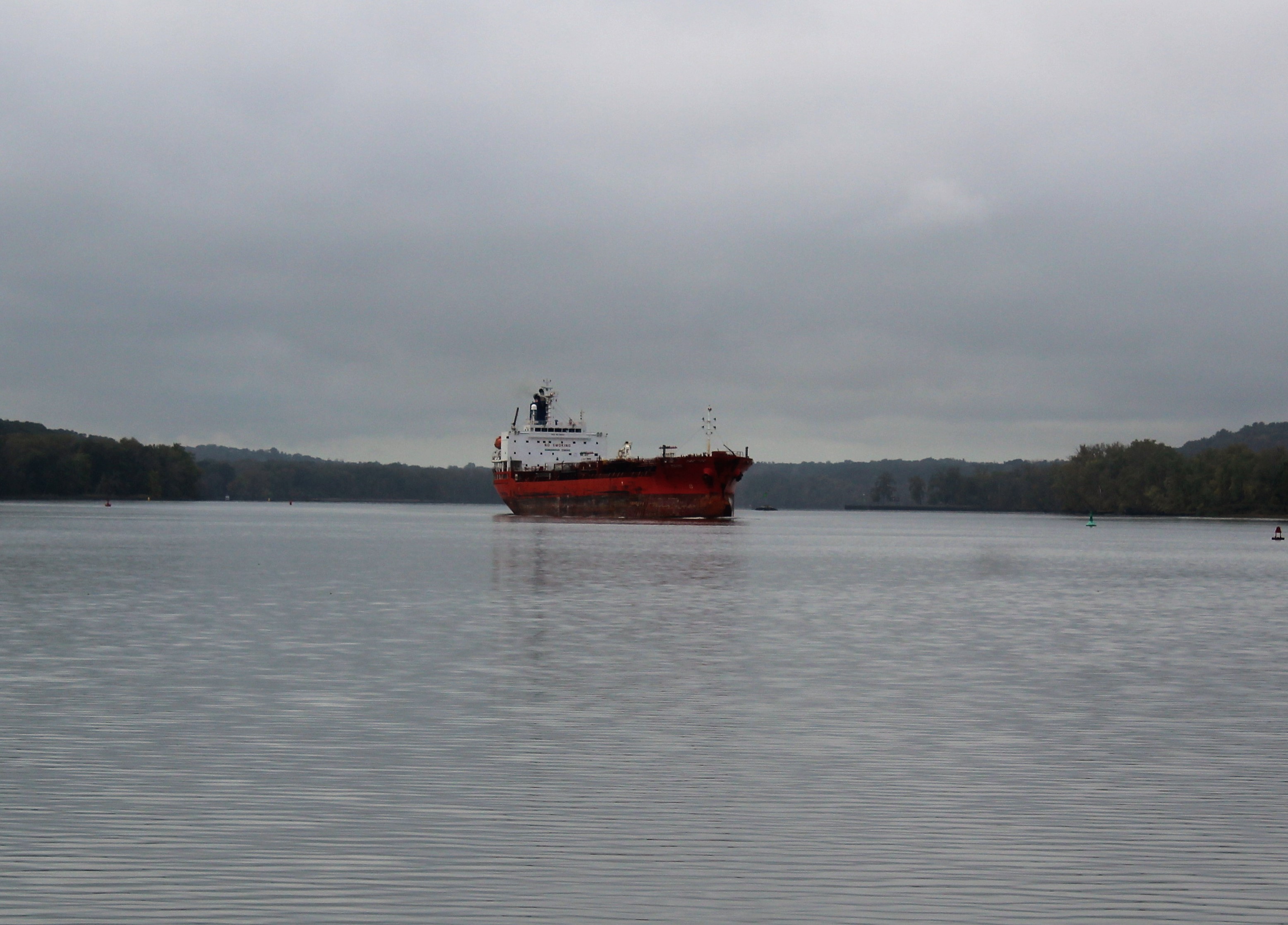
On the way up in the Lock, the skipper noticed a large ship on the other side of the east gate waiting to get in the Lock. The low profile allows the ship to get under the low bridges on the Erie Canal.

While exiting the lock, the Admiral asked the folks where they were headed on their cruise? They answered New York City. Well, they have about 240 miles to go. The skipper looked back and noticed that the design of the ship allows a snug fit in the lock.
After Lock E18, the crew motored just a few more miles and pulled into the Ilion Village Marina. You probably would never guess that Ilion is pronounced “E-lee-on” rather than “I-Lion,” but it is. The skipper is having a hard time remembering how to say the name of this place. I have head him refer to it as the town that starts with an “I”, and then the other person says the town name for him. A great coping strategy.
In a more positive note though, after arriving at the marina, the skipper plugged into the 50 amp service. When he went in the boat, he cycled the Main Line 2 breaker numerous times, and cha-ching, the air conditioners came back on. FOG! A great way to finish the week.
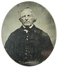
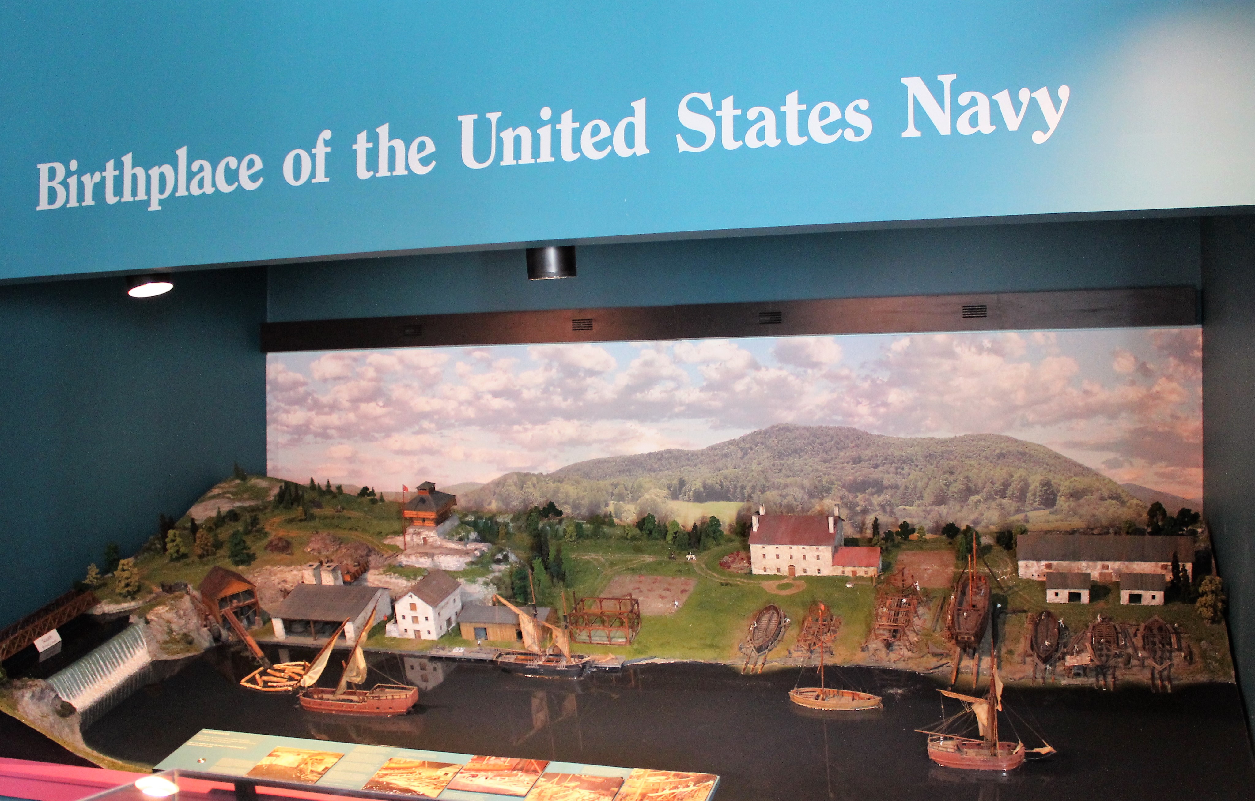
Historical Note – Ilion is the home of Eliphalet Remington, who created his first gun and started the Remington Arms Company back in 1816. The factory and museum hire 1,300 folks in town making it the village’s largest employer.
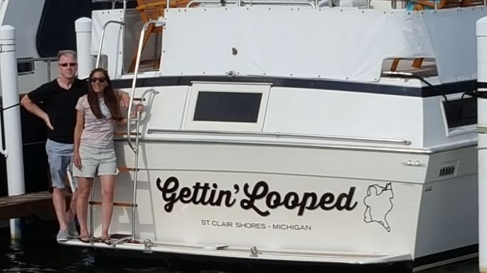
Boat name of the week
Gettin’ Looped
Next Week –
The crew expects to complete the Eastern Erie Canal early next week. They will then take a side trip on the Cayuga-Seneca Canal into the ‘Finger Lakes.’ They hope to be in Ithaca, at the southern tip of Cayuga Lake by the end of the week.
Loop On – Where the road ends, the water begins. The water goes on forever, and the adventure never ends.
Eric the Red


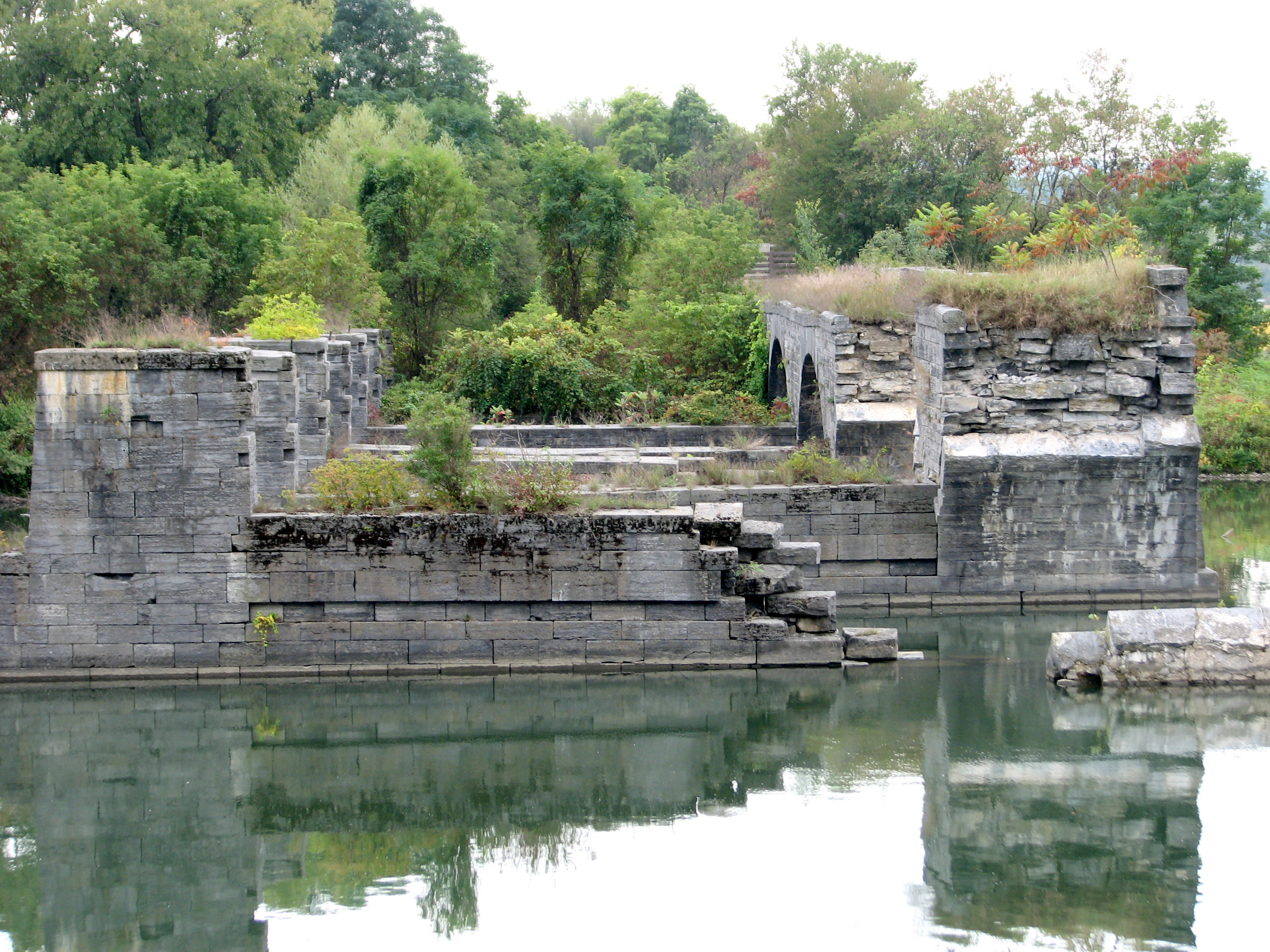
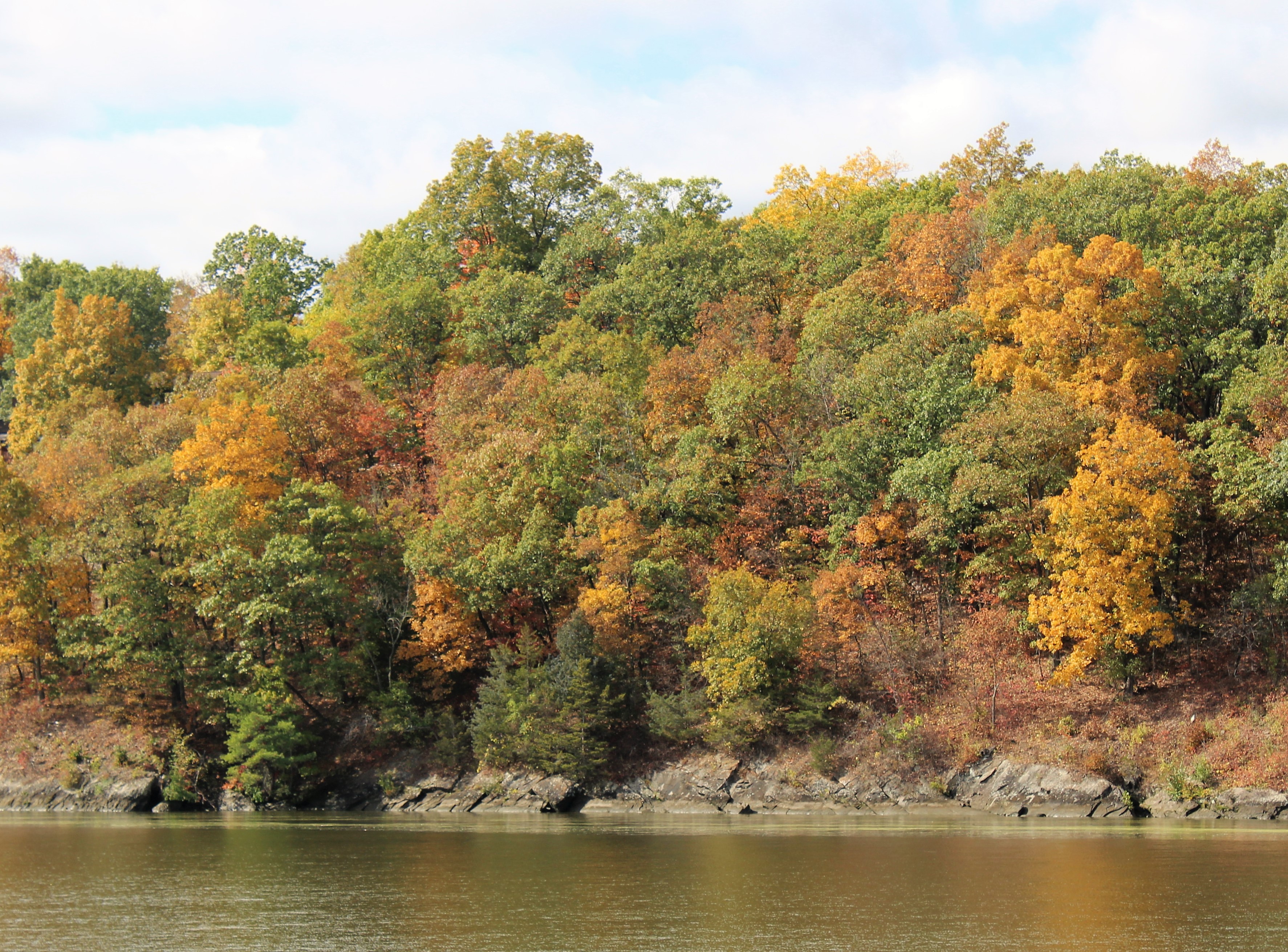
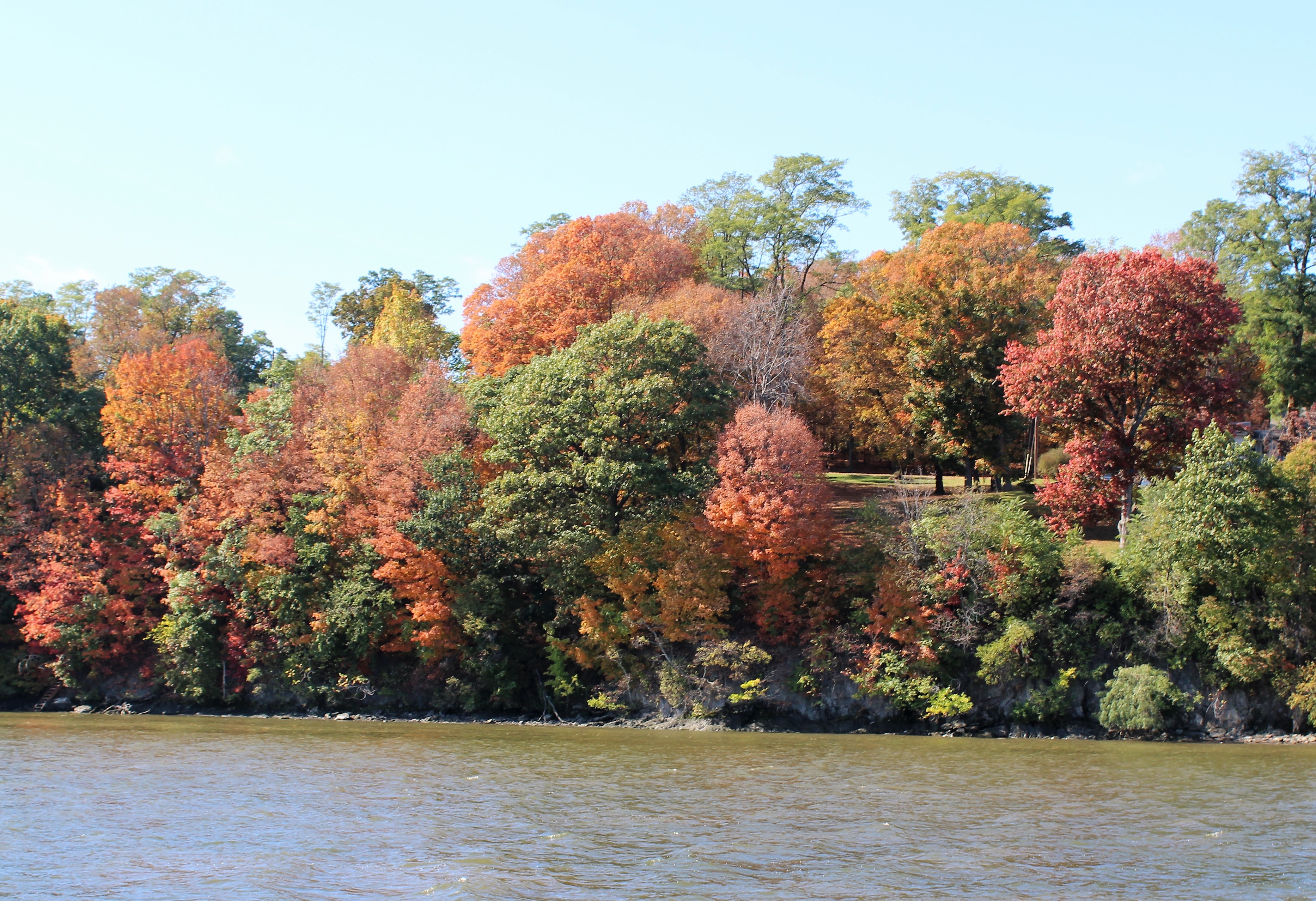
 A few more miles down the canal, the crew crossed the remains of the Montezuma Aqueduct. The Aqueduct was built back in the 1862 expansion when the canal designers were having issues with the canal crossing the Seneca River. The solution was to build this 900 foot long Aqueduct over the Seneca River.
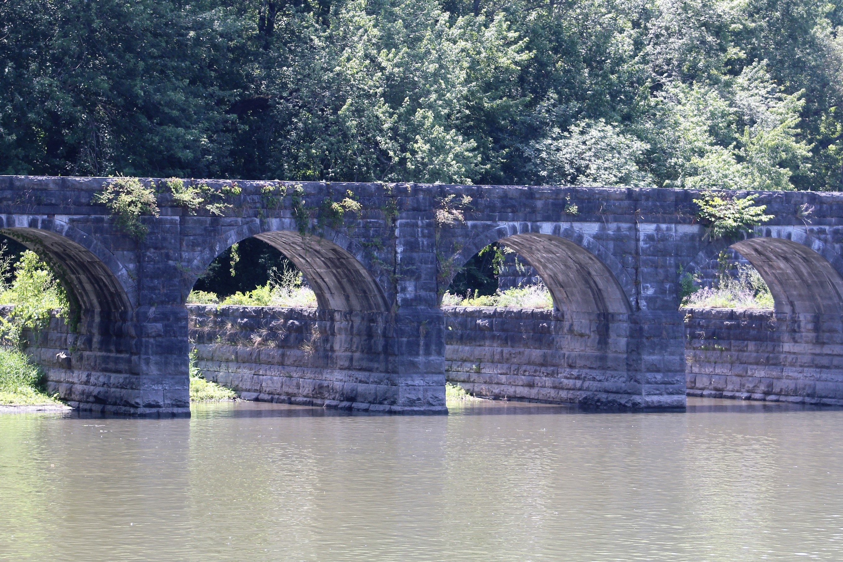


![bridgeopen[1]](https://stillwaters2scuttlebutt.blog/wp-content/uploads/2018/07/bridgeopen1.jpg)


 The remnants of hurricane Nate kept the crew in Ft Edwards through Monday.


![14911608063_8958aaa8aa_z[1]](https://stillwaters2scuttlebutt.blog/wp-content/uploads/2017/09/14911608063_8958aaa8aa_z1.jpg)